Mingo Junction is a village in eastern Jefferson County, Ohio, United States, along the Ohio River. The population was 3,347 at the 2020 census. It is part of the Weirton–Steubenville metropolitan area.
| Name: | Mingo Junction village |
|---|---|
| LSAD Code: | 47 |
| LSAD Description: | village (suffix) |
| State: | Ohio |
| County: | Jefferson County |
| Elevation: | 797 ft (243 m) |
| Total Area: | 2.86 sq mi (7.41 km²) |
| Land Area: | 2.69 sq mi (6.97 km²) |
| Water Area: | 0.17 sq mi (0.44 km²) |
| Total Population: | 3,347 |
| Population Density: | 1,244.24/sq mi (480.42/km²) |
| ZIP code: | 43938 |
| Area code: | 740 |
| FIPS code: | 3950904 |
| GNISfeature ID: | 1065035 |
| Website: | www.mingojct.us |
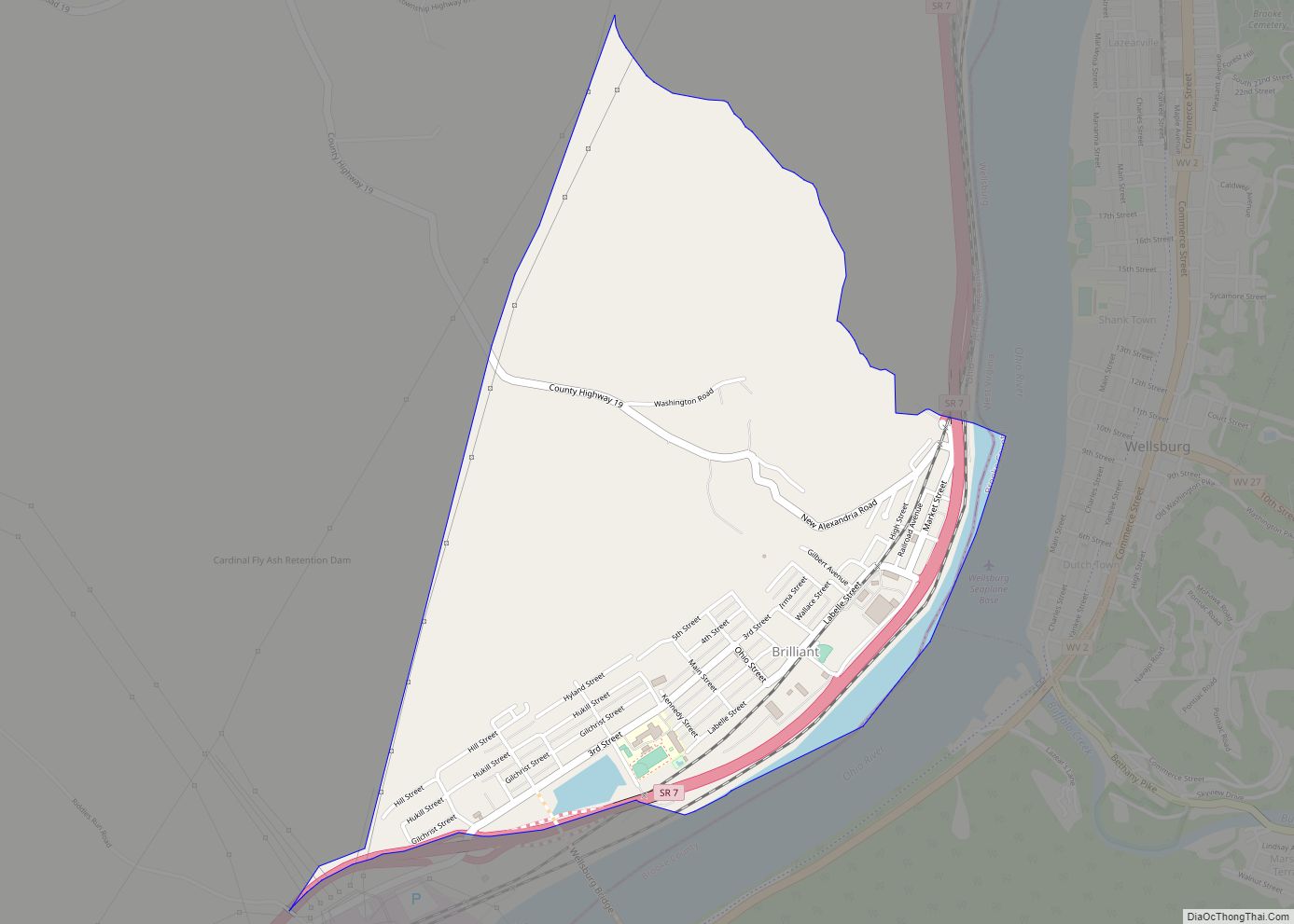
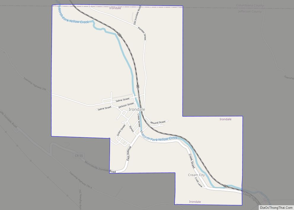
Online Interactive Map
Click on ![]() to view map in "full screen" mode.
to view map in "full screen" mode.
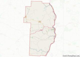
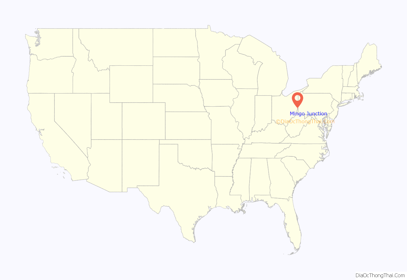
Mingo Junction location map. Where is Mingo Junction village?
History
The Mingo Indian tribe once had a settlement at the location of the present day village, which is the source of its name. Originally known as Mingo Bottom or Mingo Town, it was the starting point for the ill-fated Crawford expedition against Native Americans in 1782, during the American Revolutionary War.
In 1770, George Washington set out on an expedition to explore the Ohio River Valley. On the 22nd day of October he camped overnight in what was known then as Mingo Town, describing it as blustery and cold with about 20 cabins and 70 inhabitants of the Iroquois Confederation. Washington wrote a complete account of his observations in a diary stored in the Library of Congress.
Mingo Junction was founded circa 1869 when an iron works was started there. In 1900, its only manufacturing plant was a steel mill owned by Carnegie Steel Company.
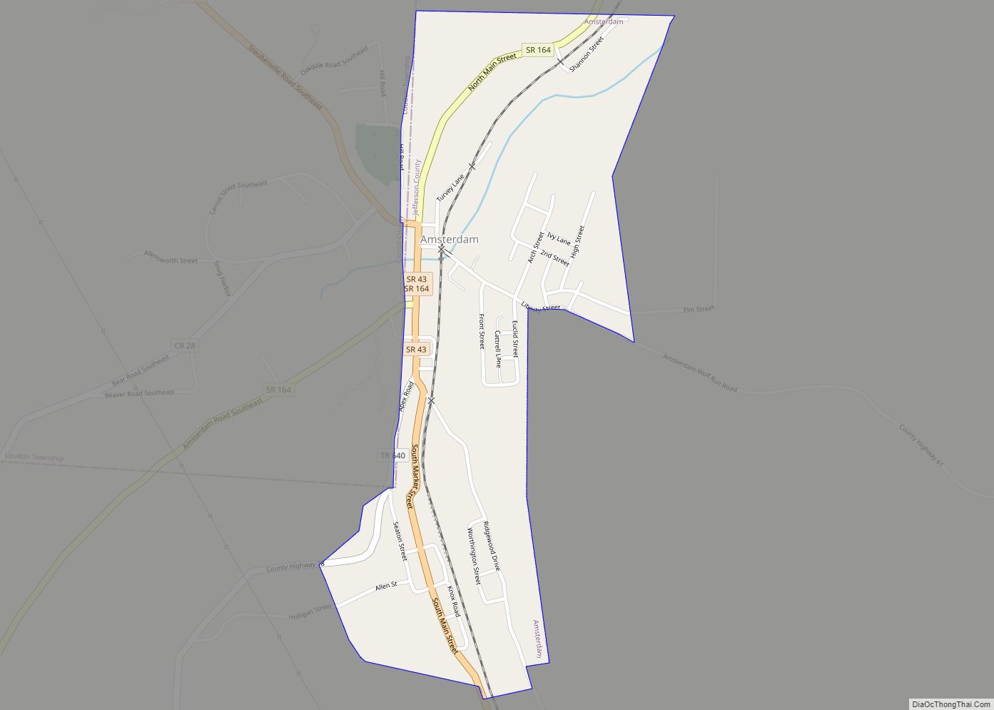
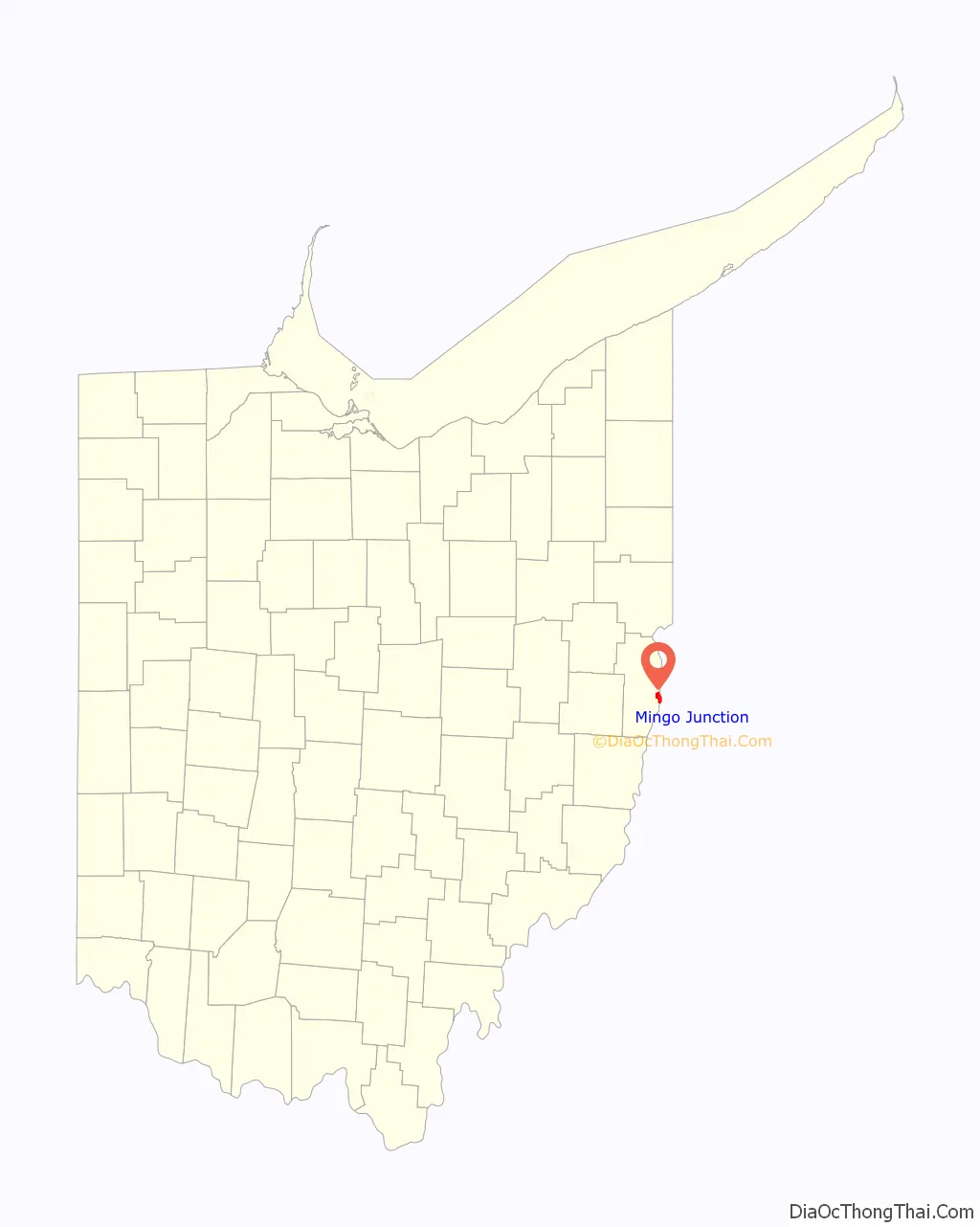
Mingo Junction Road Map
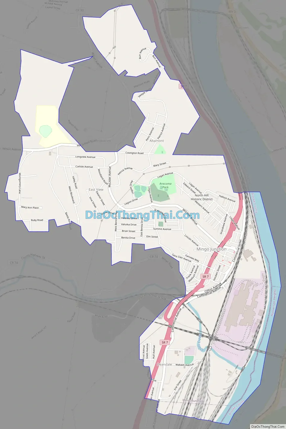
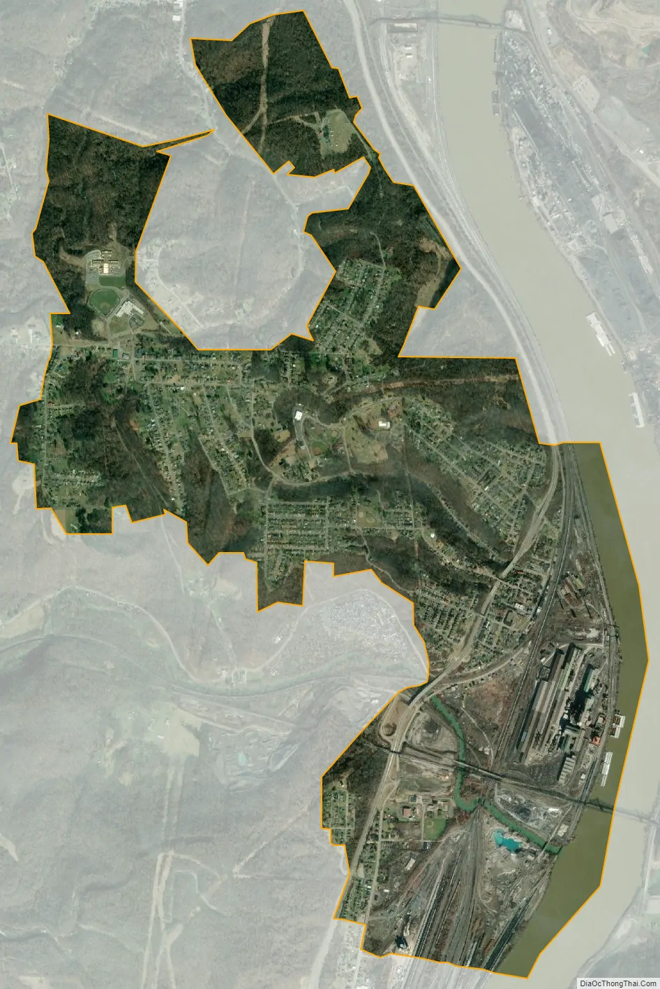
Mingo Junction city Satellite Map
Geography
Mingo Junction is located at 40°19′12″N 80°36′44″W / 40.32000°N 80.61222°W / 40.32000; -80.61222 (40.319869, -80.612240). It is in the Eastern time zone, and the average elevation is 797 ft. According to the United States Census Bureau, the village has a total area of 2.86 square miles (7.41 km), of which 2.69 square miles (6.97 km) is land and 0.17 square miles (0.44 km) is water.
Neighborhoods
Altamont, Churchill, Hillsboro, Hunky Hill, North Hill, Sunrise Terrace, Downtown (Commercial Ave.), and Goulds
See also
Map of Ohio State and its subdivision:- Adams
- Allen
- Ashland
- Ashtabula
- Athens
- Auglaize
- Belmont
- Brown
- Butler
- Carroll
- Champaign
- Clark
- Clermont
- Clinton
- Columbiana
- Coshocton
- Crawford
- Cuyahoga
- Darke
- Defiance
- Delaware
- Erie
- Fairfield
- Fayette
- Franklin
- Fulton
- Gallia
- Geauga
- Greene
- Guernsey
- Hamilton
- Hancock
- Hardin
- Harrison
- Henry
- Highland
- Hocking
- Holmes
- Huron
- Jackson
- Jefferson
- Knox
- Lake
- Lake Erie
- Lawrence
- Licking
- Logan
- Lorain
- Lucas
- Madison
- Mahoning
- Marion
- Medina
- Meigs
- Mercer
- Miami
- Monroe
- Montgomery
- Morgan
- Morrow
- Muskingum
- Noble
- Ottawa
- Paulding
- Perry
- Pickaway
- Pike
- Portage
- Preble
- Putnam
- Richland
- Ross
- Sandusky
- Scioto
- Seneca
- Shelby
- Stark
- Summit
- Trumbull
- Tuscarawas
- Union
- Van Wert
- Vinton
- Warren
- Washington
- Wayne
- Williams
- Wood
- Wyandot
- Alabama
- Alaska
- Arizona
- Arkansas
- California
- Colorado
- Connecticut
- Delaware
- District of Columbia
- Florida
- Georgia
- Hawaii
- Idaho
- Illinois
- Indiana
- Iowa
- Kansas
- Kentucky
- Louisiana
- Maine
- Maryland
- Massachusetts
- Michigan
- Minnesota
- Mississippi
- Missouri
- Montana
- Nebraska
- Nevada
- New Hampshire
- New Jersey
- New Mexico
- New York
- North Carolina
- North Dakota
- Ohio
- Oklahoma
- Oregon
- Pennsylvania
- Rhode Island
- South Carolina
- South Dakota
- Tennessee
- Texas
- Utah
- Vermont
- Virginia
- Washington
- West Virginia
- Wisconsin
- Wyoming