Murray City is a village in Hocking County, Ohio, United States. The population was 449 at the 2010 census.
| Name: | Murray City village |
|---|---|
| LSAD Code: | 47 |
| LSAD Description: | village (suffix) |
| State: | Ohio |
| County: | Hocking County |
| Elevation: | 709 ft (216 m) |
| Total Area: | 0.32 sq mi (0.82 km²) |
| Land Area: | 0.32 sq mi (0.82 km²) |
| Water Area: | 0.00 sq mi (0.00 km²) |
| Total Population: | 341 |
| Population Density: | 1,075.71/sq mi (414.71/km²) |
| ZIP code: | 43144 |
| Area code: | 740 |
| FIPS code: | 3953410 |
| GNISfeature ID: | 1076486 |
Online Interactive Map
Click on ![]() to view map in "full screen" mode.
to view map in "full screen" mode.
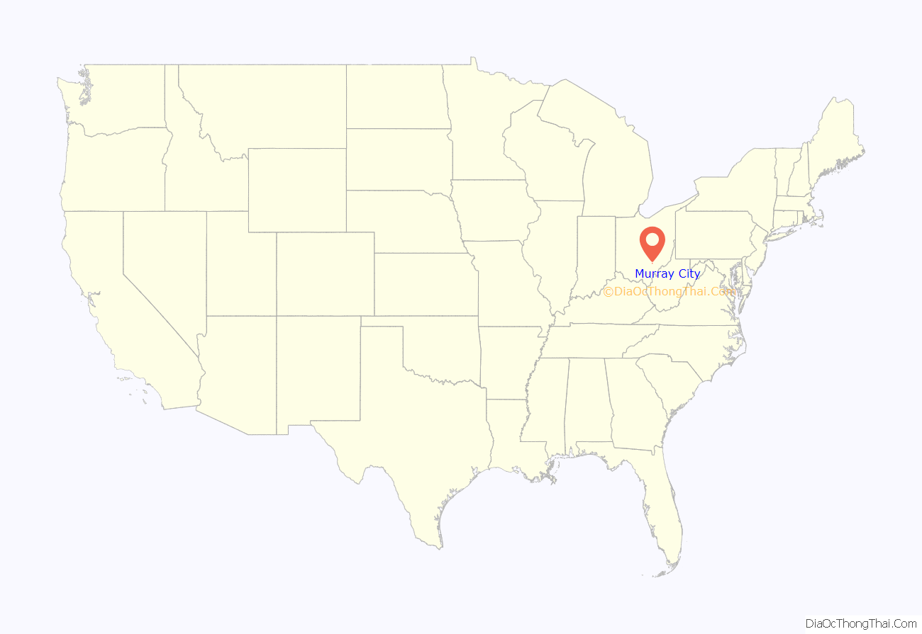
Murray City location map. Where is Murray City village?
History
Murray City was platted in 1873 and incorporated in 1891. It was named for John Murray Brown, the original owner of the town site. John Murray Brown was an early settler who bought up the land to lay out the town. He built a hotel in 1875 for the local workers but sold his interests in the community a few years later to a large coal company.
Murray City was once one of the largest coal towns in the country with over 2,000 residents. It had a semi-pro football team in the 1920s, the Murray City Tigers, which is now in the Pro Football Hall of Fame.
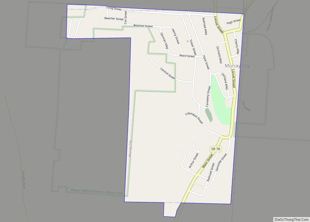
Murray City Road Map
Murray City city Satellite Map
Geography
Murray City is located at 39°30′38″N 82°9′57″W / 39.51056°N 82.16583°W / 39.51056; -82.16583 (39.510569, -82.165762), along the Snow Fork, a tributary of Monday Creek.
According to the United States Census Bureau, the village has a total area of 0.32 square miles (0.83 km), all land.
See also
Map of Ohio State and its subdivision:- Adams
- Allen
- Ashland
- Ashtabula
- Athens
- Auglaize
- Belmont
- Brown
- Butler
- Carroll
- Champaign
- Clark
- Clermont
- Clinton
- Columbiana
- Coshocton
- Crawford
- Cuyahoga
- Darke
- Defiance
- Delaware
- Erie
- Fairfield
- Fayette
- Franklin
- Fulton
- Gallia
- Geauga
- Greene
- Guernsey
- Hamilton
- Hancock
- Hardin
- Harrison
- Henry
- Highland
- Hocking
- Holmes
- Huron
- Jackson
- Jefferson
- Knox
- Lake
- Lake Erie
- Lawrence
- Licking
- Logan
- Lorain
- Lucas
- Madison
- Mahoning
- Marion
- Medina
- Meigs
- Mercer
- Miami
- Monroe
- Montgomery
- Morgan
- Morrow
- Muskingum
- Noble
- Ottawa
- Paulding
- Perry
- Pickaway
- Pike
- Portage
- Preble
- Putnam
- Richland
- Ross
- Sandusky
- Scioto
- Seneca
- Shelby
- Stark
- Summit
- Trumbull
- Tuscarawas
- Union
- Van Wert
- Vinton
- Warren
- Washington
- Wayne
- Williams
- Wood
- Wyandot
- Alabama
- Alaska
- Arizona
- Arkansas
- California
- Colorado
- Connecticut
- Delaware
- District of Columbia
- Florida
- Georgia
- Hawaii
- Idaho
- Illinois
- Indiana
- Iowa
- Kansas
- Kentucky
- Louisiana
- Maine
- Maryland
- Massachusetts
- Michigan
- Minnesota
- Mississippi
- Missouri
- Montana
- Nebraska
- Nevada
- New Hampshire
- New Jersey
- New Mexico
- New York
- North Carolina
- North Dakota
- Ohio
- Oklahoma
- Oregon
- Pennsylvania
- Rhode Island
- South Carolina
- South Dakota
- Tennessee
- Texas
- Utah
- Vermont
- Virginia
- Washington
- West Virginia
- Wisconsin
- Wyoming
