Mutual is a village in Champaign County, Ohio, United States. The population was 104 at the 2010 census.
| Name: | Mutual village |
|---|---|
| LSAD Code: | 47 |
| LSAD Description: | village (suffix) |
| State: | Ohio |
| County: | Champaign County |
| Elevation: | 1,194 ft (364 m) |
| Total Area: | 0.14 sq mi (0.35 km²) |
| Land Area: | 0.14 sq mi (0.35 km²) |
| Water Area: | 0.00 sq mi (0.00 km²) |
| Total Population: | 127 |
| Population Density: | 940.74/sq mi (362.87/km²) |
| FIPS code: | 3953480 |
| GNISfeature ID: | 1070863 |
Online Interactive Map
Click on ![]() to view map in "full screen" mode.
to view map in "full screen" mode.
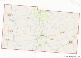
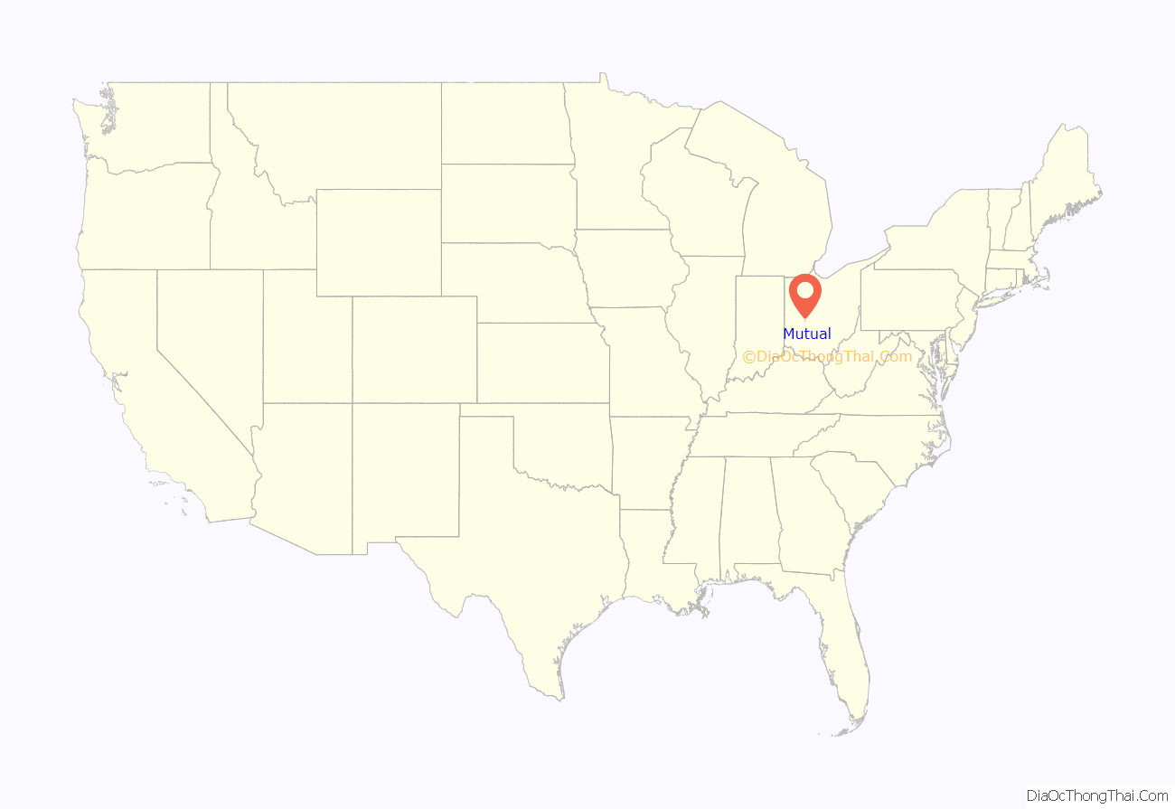
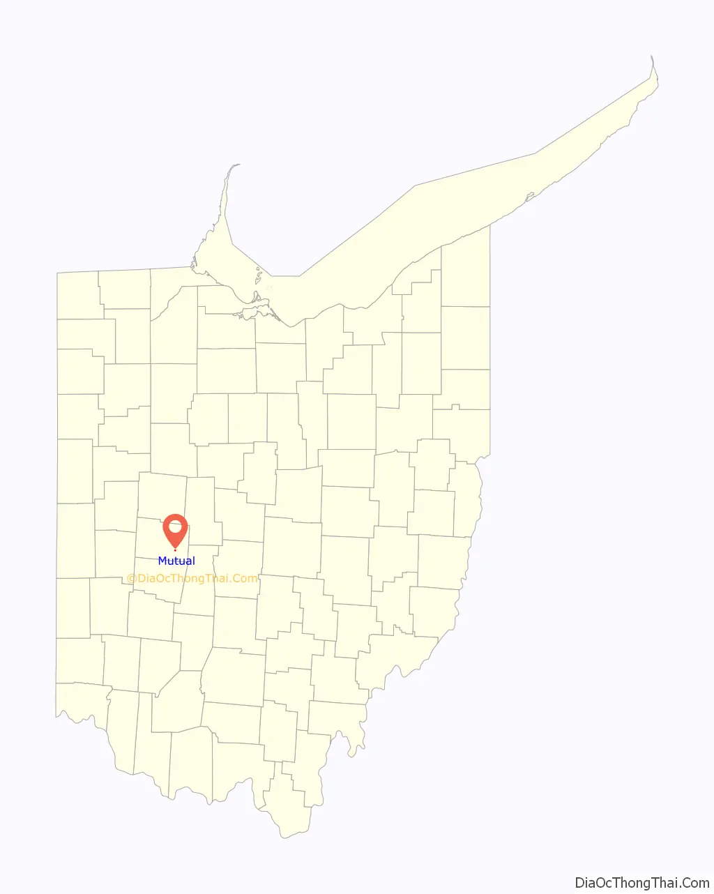
Mutual location map. Where is Mutual village?
History
Mutual was laid out in the 1840s and incorporated as a village in 1869.
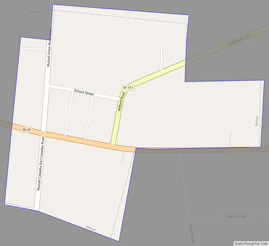
Mutual Road Map
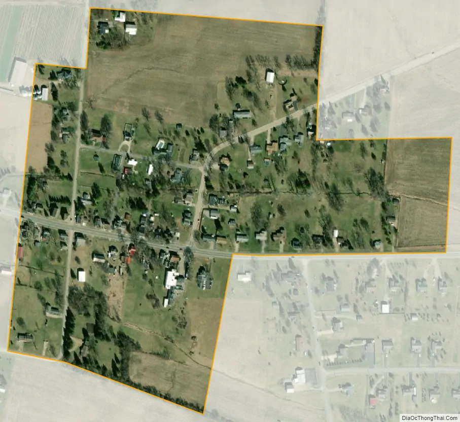
Mutual city Satellite Map
Geography
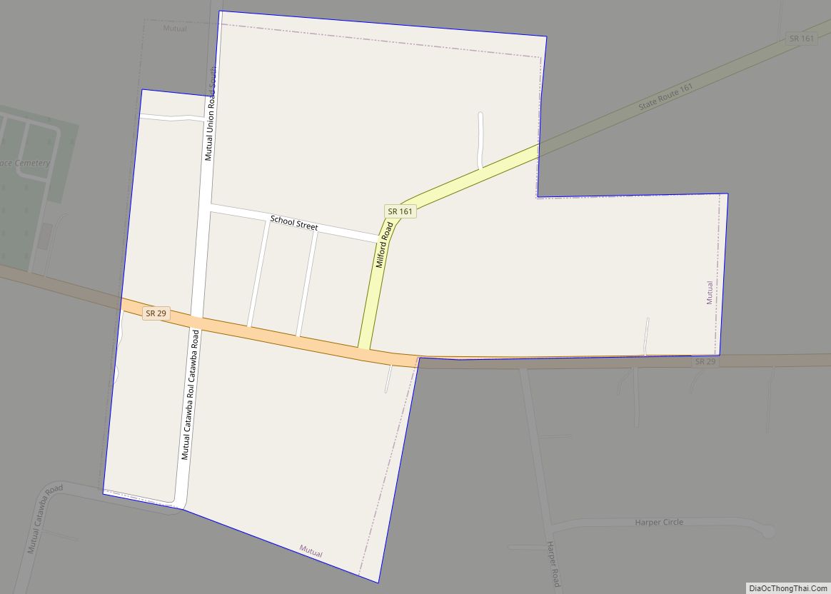
Mutual is located at 40°4′45″N 83°38′17″W / 40.07917°N 83.63806°W / 40.07917; -83.63806 (40.079243, -83.638167). It lies at the intersection of State Routes 29 and 161. The nearest stream is Buck Creek, a tributary of the Mad River, which flows about 1 mile (1½ km) west of the community. It is located approximately midway between the city of Urbana (the county seat of Champaign County) and the village of Mechanicsburg.
According to the United States Census Bureau, the village has a total area of 0.13 square miles (0.34 km), all of it land.
See also
Map of Ohio State and its subdivision:- Adams
- Allen
- Ashland
- Ashtabula
- Athens
- Auglaize
- Belmont
- Brown
- Butler
- Carroll
- Champaign
- Clark
- Clermont
- Clinton
- Columbiana
- Coshocton
- Crawford
- Cuyahoga
- Darke
- Defiance
- Delaware
- Erie
- Fairfield
- Fayette
- Franklin
- Fulton
- Gallia
- Geauga
- Greene
- Guernsey
- Hamilton
- Hancock
- Hardin
- Harrison
- Henry
- Highland
- Hocking
- Holmes
- Huron
- Jackson
- Jefferson
- Knox
- Lake
- Lake Erie
- Lawrence
- Licking
- Logan
- Lorain
- Lucas
- Madison
- Mahoning
- Marion
- Medina
- Meigs
- Mercer
- Miami
- Monroe
- Montgomery
- Morgan
- Morrow
- Muskingum
- Noble
- Ottawa
- Paulding
- Perry
- Pickaway
- Pike
- Portage
- Preble
- Putnam
- Richland
- Ross
- Sandusky
- Scioto
- Seneca
- Shelby
- Stark
- Summit
- Trumbull
- Tuscarawas
- Union
- Van Wert
- Vinton
- Warren
- Washington
- Wayne
- Williams
- Wood
- Wyandot
- Alabama
- Alaska
- Arizona
- Arkansas
- California
- Colorado
- Connecticut
- Delaware
- District of Columbia
- Florida
- Georgia
- Hawaii
- Idaho
- Illinois
- Indiana
- Iowa
- Kansas
- Kentucky
- Louisiana
- Maine
- Maryland
- Massachusetts
- Michigan
- Minnesota
- Mississippi
- Missouri
- Montana
- Nebraska
- Nevada
- New Hampshire
- New Jersey
- New Mexico
- New York
- North Carolina
- North Dakota
- Ohio
- Oklahoma
- Oregon
- Pennsylvania
- Rhode Island
- South Carolina
- South Dakota
- Tennessee
- Texas
- Utah
- Vermont
- Virginia
- Washington
- West Virginia
- Wisconsin
- Wyoming