New Alexandria is a village in eastern Jefferson County, Ohio, United States. The population was 232 at the 2020 census. It is part of the Weirton–Steubenville metropolitan area.
| Name: | New Alexandria village |
|---|---|
| LSAD Code: | 47 |
| LSAD Description: | village (suffix) |
| State: | Ohio |
| County: | Jefferson County |
| Elevation: | 1,224 ft (373 m) |
| Total Area: | 0.37 sq mi (0.95 km²) |
| Land Area: | 0.37 sq mi (0.95 km²) |
| Water Area: | 0.00 sq mi (0.00 km²) |
| Total Population: | 232 |
| Population Density: | 632.15/sq mi (244.20/km²) |
| ZIP code: | 43938 |
| Area code: | 740 |
| FIPS code: | 3954012 |
| GNISfeature ID: | 1043814 |
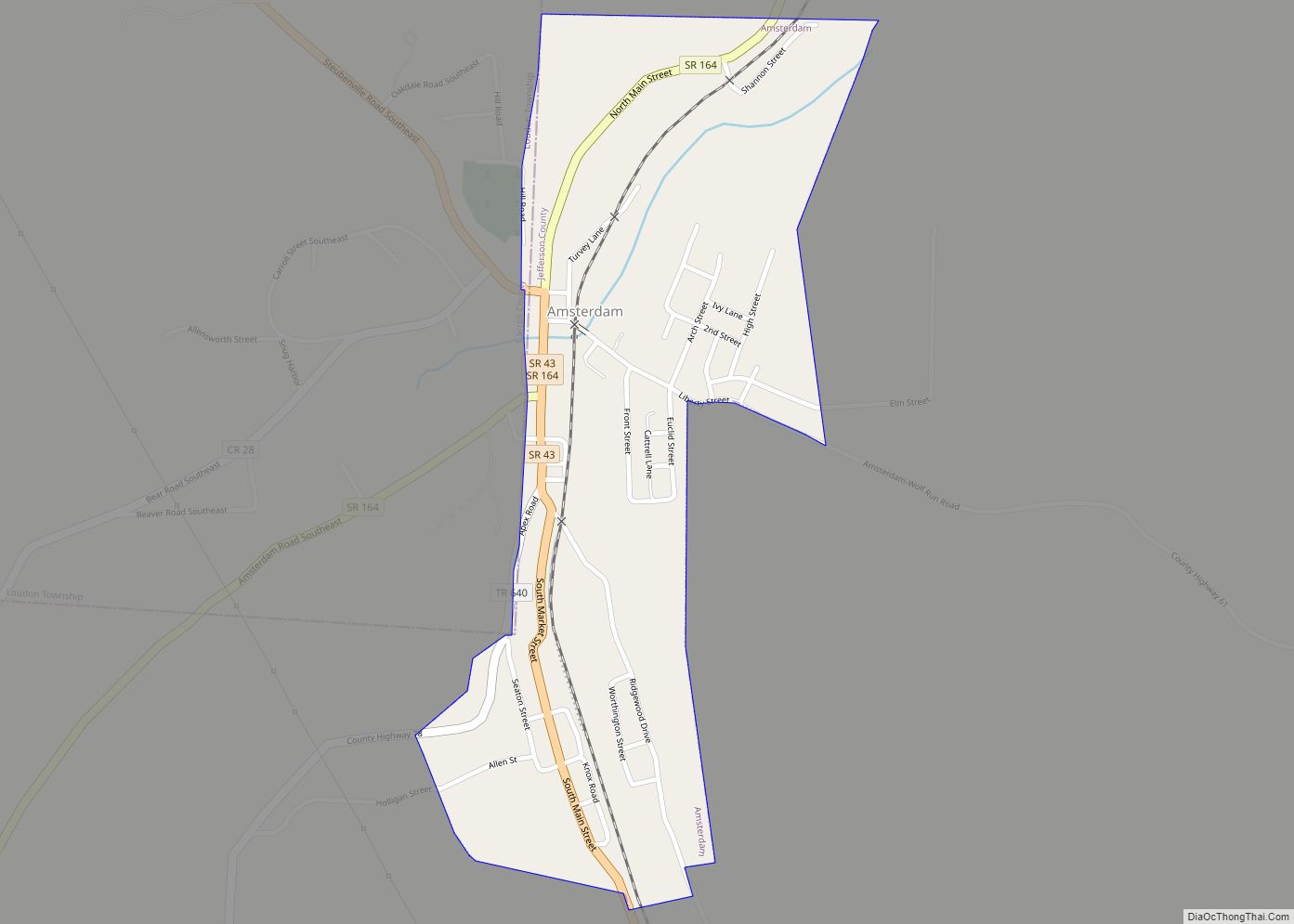
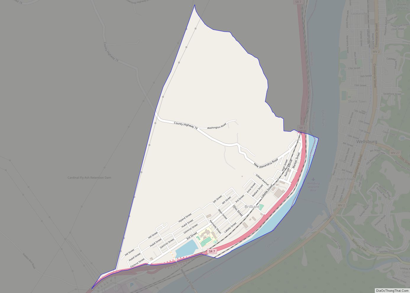
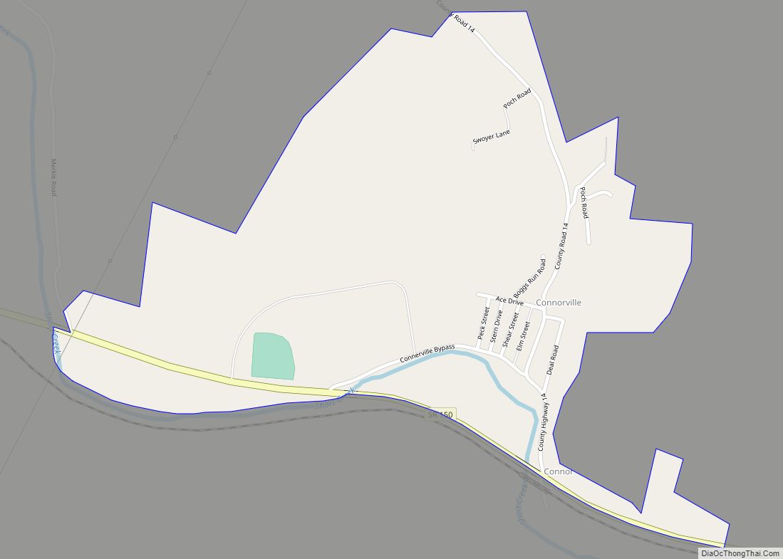
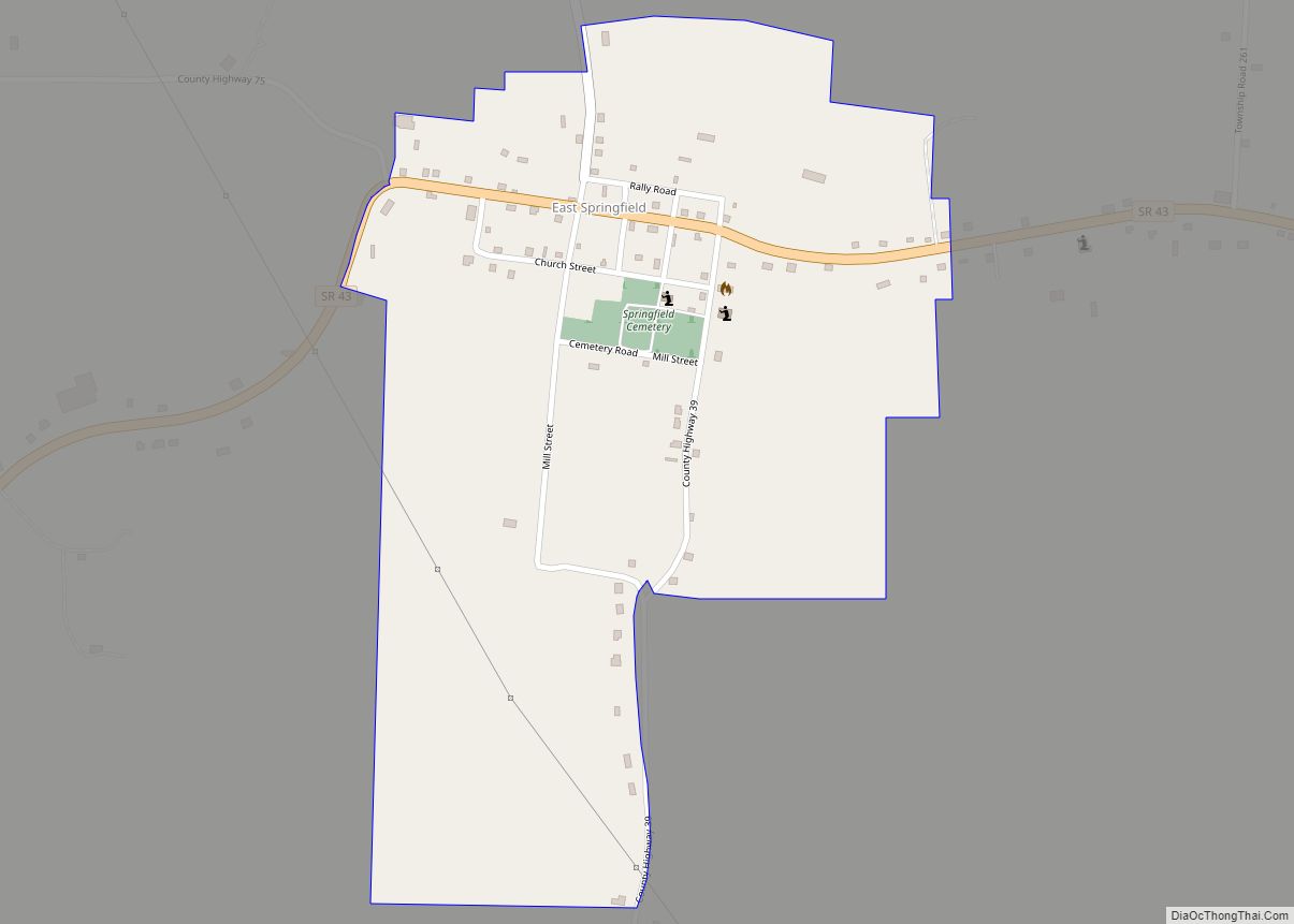
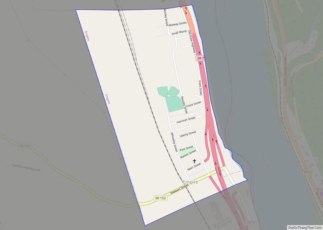
Online Interactive Map
Click on ![]() to view map in "full screen" mode.
to view map in "full screen" mode.
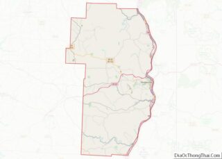
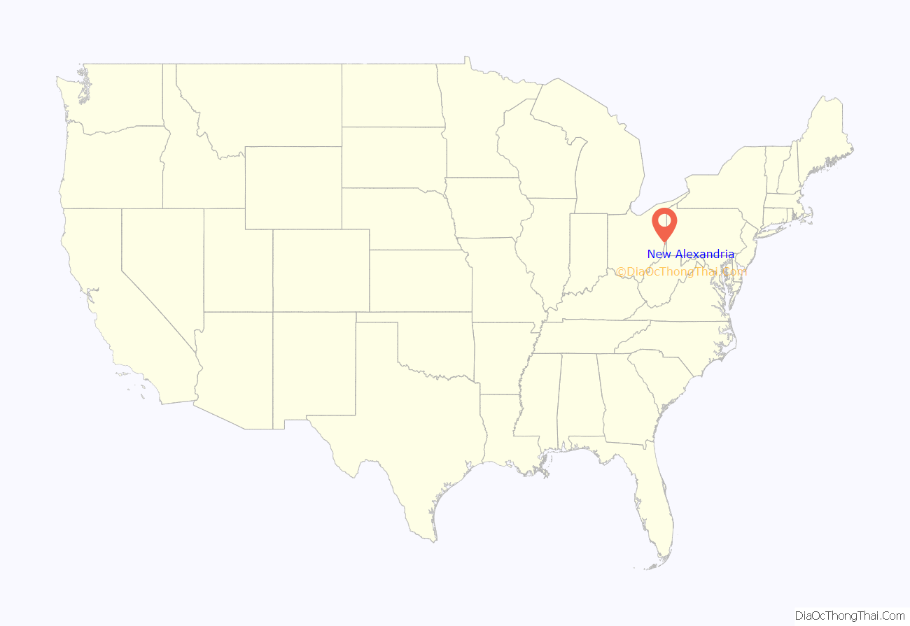
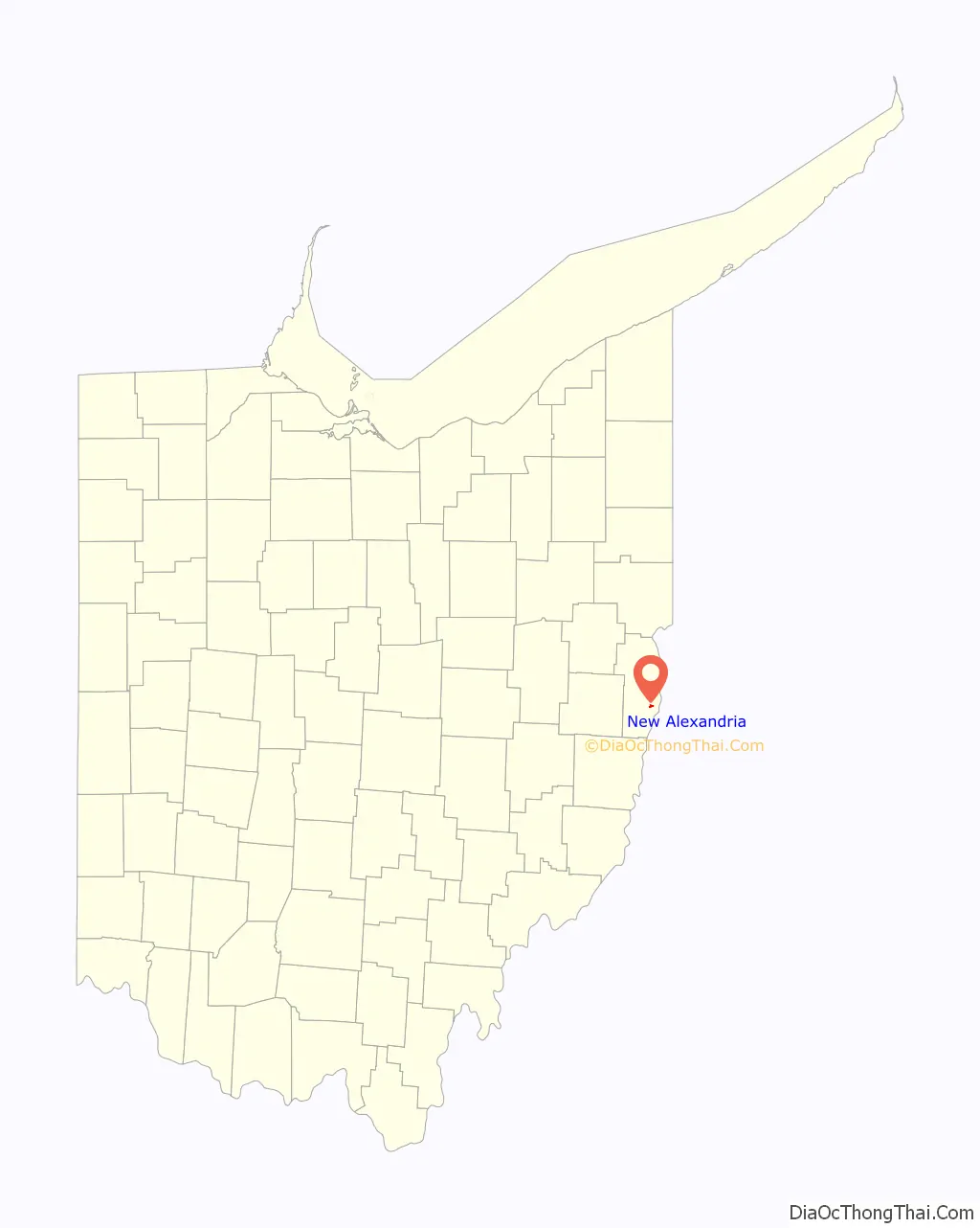
New Alexandria location map. Where is New Alexandria village?
History
General History
New Alexandria derives its name from the former proprietor, Alexander Smith, who laid out the town in 1831. Prior to this, the area was known as “Tempo” by the surrounding local community. This derives from either a temperance hotel that was kept there (something that was unusual for the time) by Matthew Thompson as far back as 1820, or the village Tempo in Fermanagh County, Ireland where Thompson grew up. This information can be found in a privately printed biography of the Scott Family which was written primarily by a nephew of Thompson. However, no further evidence as to if Mr. Thompson’s temperance hotel has anything to do with the name; note that there was also a small collection of houses here prior to Smith laying out the area. Mr. Thomson also started the first store and was the first postmaster of the village. In 1831 Mr. Smith opened a hotel and store in the newly organized area. Being distant from any rail or water transportation the village grew at a slow rate, it did however have a fairly large area of local trade with the rural community surrounding it. The village was incorporated in 1871 and has been the home of several small businesses, churches, clubs, a cemetery, a post office, a community park, a school and a volunteer fire department over the years.
Morgan’s Raid
During Morgan’s Raid, a Union victory in the Civil War in 1863, Confederate Brid. Gen. John Hunt Morgan traveled through the Moorefield, Harrisville, New Athens, Smithfield, New Alexandria, Goulds, Wintersville, Two Ridge, Richmond, East Springfield, Bergholz, and Monroeville on his way to defeat at the Battle of Salineville.
New Alexandria Road Map
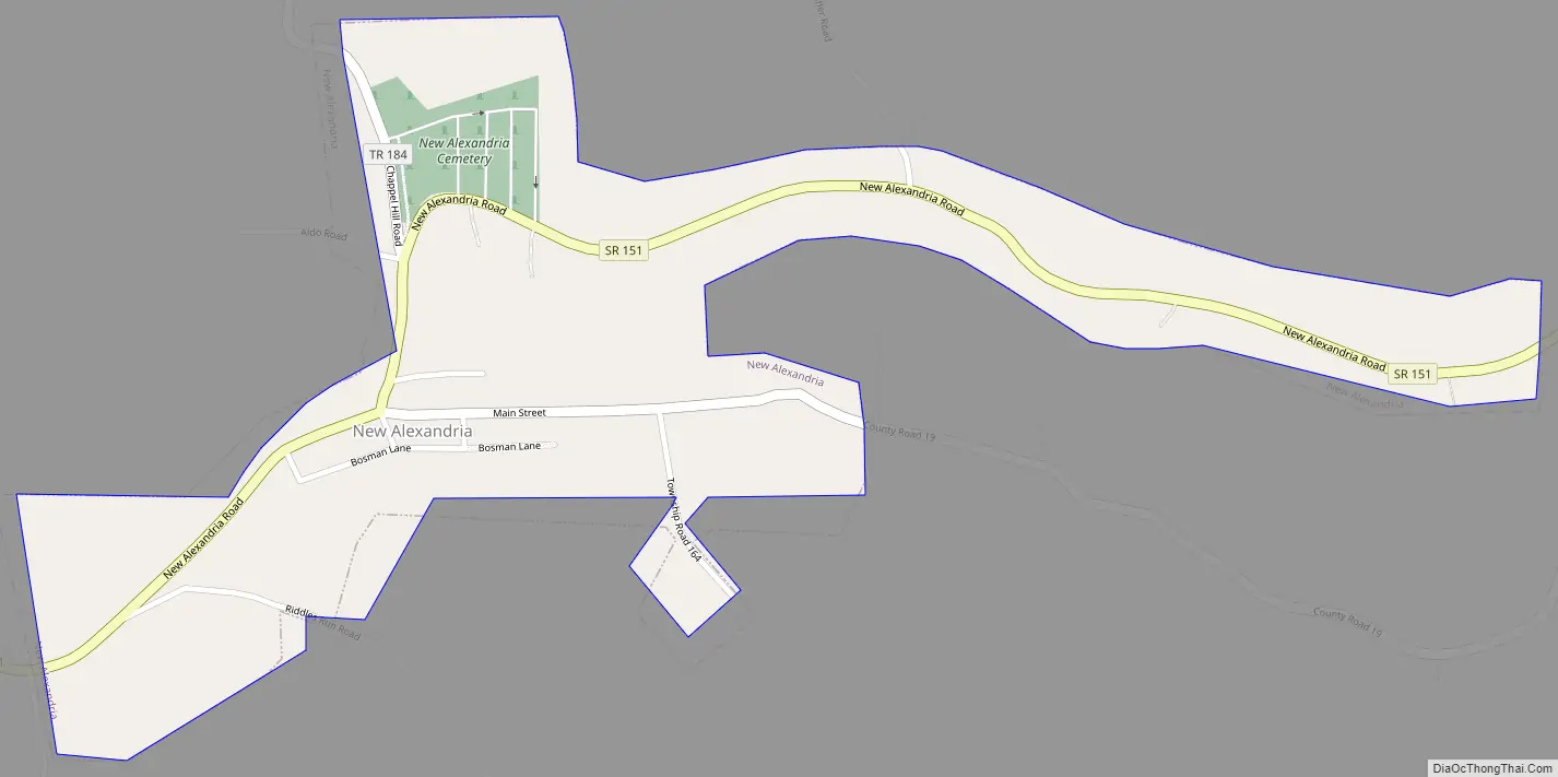
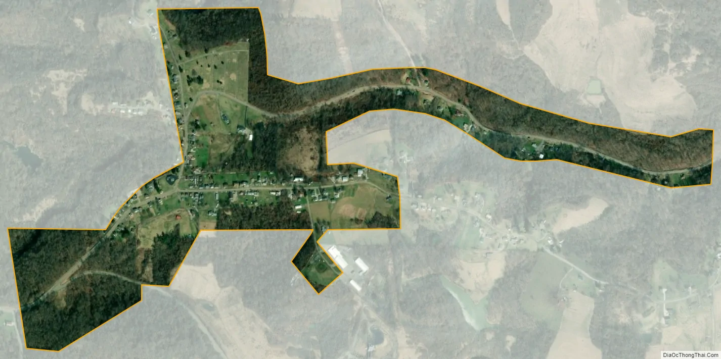
New Alexandria city Satellite Map
Geography
New Alexandria is located at 40°17′25″N 80°40′20″W / 40.29028°N 80.67222°W / 40.29028; -80.67222 (40.290397, -80.672328). The village is situated on the south side of Cross Creek township, Wells Township line making its southern boundary.
According to the United States Census Bureau, the village has a total area of 0.37 square miles (0.96 km), all land.
See also
Map of Ohio State and its subdivision:- Adams
- Allen
- Ashland
- Ashtabula
- Athens
- Auglaize
- Belmont
- Brown
- Butler
- Carroll
- Champaign
- Clark
- Clermont
- Clinton
- Columbiana
- Coshocton
- Crawford
- Cuyahoga
- Darke
- Defiance
- Delaware
- Erie
- Fairfield
- Fayette
- Franklin
- Fulton
- Gallia
- Geauga
- Greene
- Guernsey
- Hamilton
- Hancock
- Hardin
- Harrison
- Henry
- Highland
- Hocking
- Holmes
- Huron
- Jackson
- Jefferson
- Knox
- Lake
- Lake Erie
- Lawrence
- Licking
- Logan
- Lorain
- Lucas
- Madison
- Mahoning
- Marion
- Medina
- Meigs
- Mercer
- Miami
- Monroe
- Montgomery
- Morgan
- Morrow
- Muskingum
- Noble
- Ottawa
- Paulding
- Perry
- Pickaway
- Pike
- Portage
- Preble
- Putnam
- Richland
- Ross
- Sandusky
- Scioto
- Seneca
- Shelby
- Stark
- Summit
- Trumbull
- Tuscarawas
- Union
- Van Wert
- Vinton
- Warren
- Washington
- Wayne
- Williams
- Wood
- Wyandot
- Alabama
- Alaska
- Arizona
- Arkansas
- California
- Colorado
- Connecticut
- Delaware
- District of Columbia
- Florida
- Georgia
- Hawaii
- Idaho
- Illinois
- Indiana
- Iowa
- Kansas
- Kentucky
- Louisiana
- Maine
- Maryland
- Massachusetts
- Michigan
- Minnesota
- Mississippi
- Missouri
- Montana
- Nebraska
- Nevada
- New Hampshire
- New Jersey
- New Mexico
- New York
- North Carolina
- North Dakota
- Ohio
- Oklahoma
- Oregon
- Pennsylvania
- Rhode Island
- South Carolina
- South Dakota
- Tennessee
- Texas
- Utah
- Vermont
- Virginia
- Washington
- West Virginia
- Wisconsin
- Wyoming