New Baltimore is a census-designated place (CDP) in Crosby Township, Hamilton County, Ohio. The population was 1,596 in the 2020 census.
| Name: | New Baltimore CDP |
|---|---|
| LSAD Code: | 57 |
| LSAD Description: | CDP (suffix) |
| State: | Ohio |
| County: | Hamilton County |
| Elevation: | 550 ft (170 m) |
| Total Area: | 1.39 sq mi (3.60 km²) |
| Land Area: | 1.37 sq mi (3.56 km²) |
| Water Area: | 0.02 sq mi (0.04 km²) |
| Total Population: | 1,596 |
| Population Density: | 1,161.57/sq mi (448.52/km²) |
| ZIP code: | 45030 |
| FIPS code: | 3954082 |
| GNISfeature ID: | 1065109 |
Online Interactive Map
Click on ![]() to view map in "full screen" mode.
to view map in "full screen" mode.
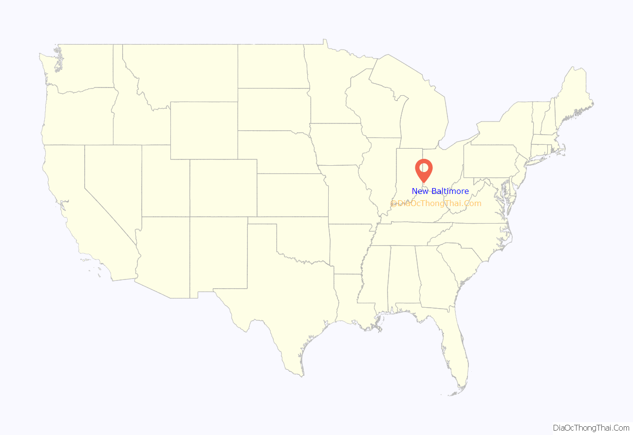
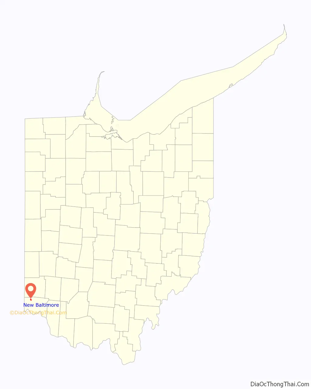
New Baltimore location map. Where is New Baltimore CDP?
History
The village, about four miles east of New Haven, was laid out in 1819 by mill owner Samuel Pottinger. In July 1863, Morgan’s Raiders of the Confederate Army used a ford at New Baltimore to cross the Miami River.
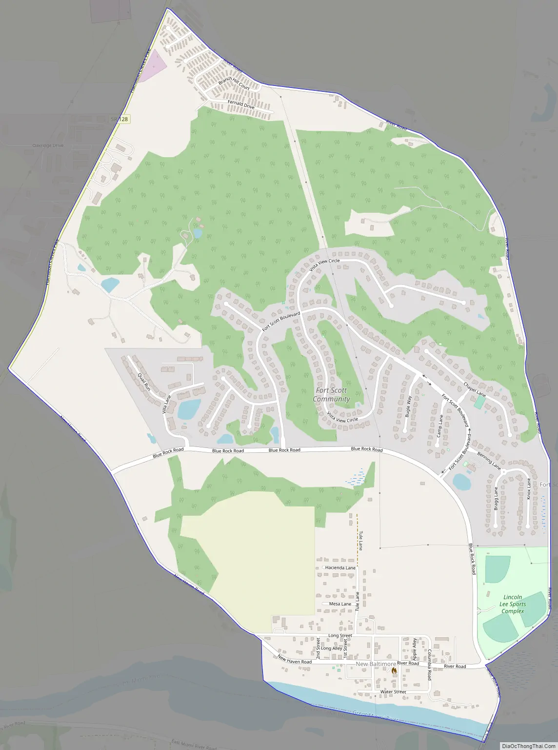
New Baltimore Road Map
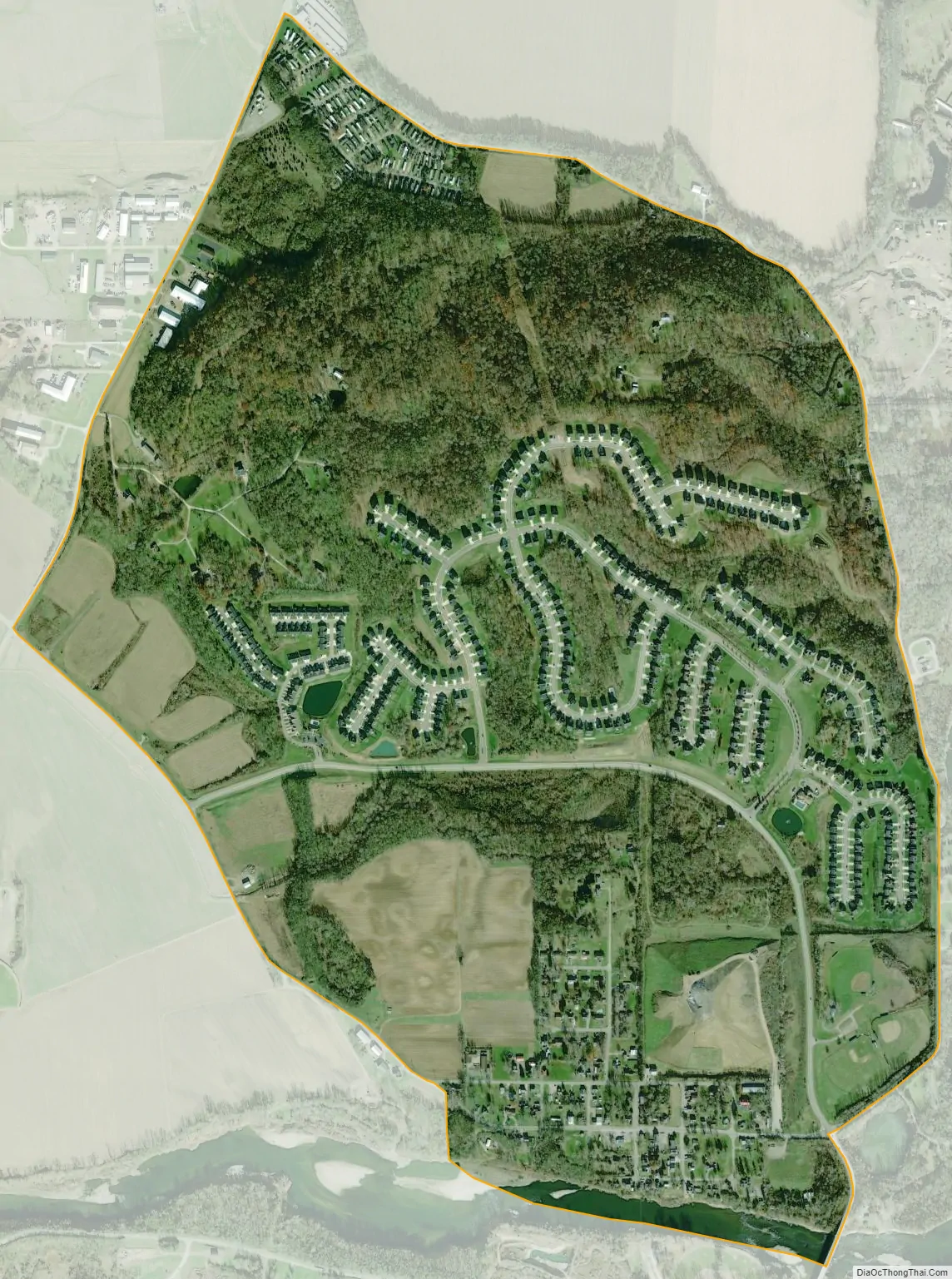
New Baltimore city Satellite Map
Geography
New Baltimore is situated at 39°15′53″N 84°40′2″W / 39.26472°N 84.66722°W / 39.26472; -84.66722, 17 miles (27 km) northwest of downtown Cincinnati. It lies along the north bank of the Great Miami River.
The CDP has a total area of 1.4 square miles (3.6 km), all land.
See also
Map of Ohio State and its subdivision:- Adams
- Allen
- Ashland
- Ashtabula
- Athens
- Auglaize
- Belmont
- Brown
- Butler
- Carroll
- Champaign
- Clark
- Clermont
- Clinton
- Columbiana
- Coshocton
- Crawford
- Cuyahoga
- Darke
- Defiance
- Delaware
- Erie
- Fairfield
- Fayette
- Franklin
- Fulton
- Gallia
- Geauga
- Greene
- Guernsey
- Hamilton
- Hancock
- Hardin
- Harrison
- Henry
- Highland
- Hocking
- Holmes
- Huron
- Jackson
- Jefferson
- Knox
- Lake
- Lake Erie
- Lawrence
- Licking
- Logan
- Lorain
- Lucas
- Madison
- Mahoning
- Marion
- Medina
- Meigs
- Mercer
- Miami
- Monroe
- Montgomery
- Morgan
- Morrow
- Muskingum
- Noble
- Ottawa
- Paulding
- Perry
- Pickaway
- Pike
- Portage
- Preble
- Putnam
- Richland
- Ross
- Sandusky
- Scioto
- Seneca
- Shelby
- Stark
- Summit
- Trumbull
- Tuscarawas
- Union
- Van Wert
- Vinton
- Warren
- Washington
- Wayne
- Williams
- Wood
- Wyandot
- Alabama
- Alaska
- Arizona
- Arkansas
- California
- Colorado
- Connecticut
- Delaware
- District of Columbia
- Florida
- Georgia
- Hawaii
- Idaho
- Illinois
- Indiana
- Iowa
- Kansas
- Kentucky
- Louisiana
- Maine
- Maryland
- Massachusetts
- Michigan
- Minnesota
- Mississippi
- Missouri
- Montana
- Nebraska
- Nevada
- New Hampshire
- New Jersey
- New Mexico
- New York
- North Carolina
- North Dakota
- Ohio
- Oklahoma
- Oregon
- Pennsylvania
- Rhode Island
- South Carolina
- South Dakota
- Tennessee
- Texas
- Utah
- Vermont
- Virginia
- Washington
- West Virginia
- Wisconsin
- Wyoming


