New Carlisle is a city in Clark County, Ohio, United States. The population was 5,785 at the 2010 census. It is part of the Springfield, Ohio Metropolitan Statistical Area.
| Name: | New Carlisle city |
|---|---|
| LSAD Code: | 25 |
| LSAD Description: | city (suffix) |
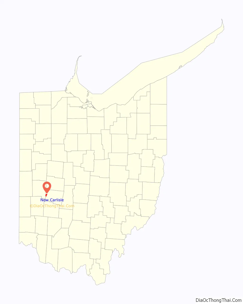
| State: | Ohio |
| County: | Clark County |
| Elevation: | 899 ft (274 m) |
| Total Area: | 2.71 sq mi (7.01 km²) |
| Land Area: | 2.68 sq mi (6.95 km²) |
| Water Area: | 0.03 sq mi (0.07 km²) |
| Total Population: | 5,559 |
| Population Density: | 2,072.71/sq mi (800.14/km²) |
| ZIP code: | 45344 |
| Area code: | 937, 326 |
| FIPS code: | 3954334 |
| GNISfeature ID: | 1065113 |
| Website: | http://www.newcarlisle.net |
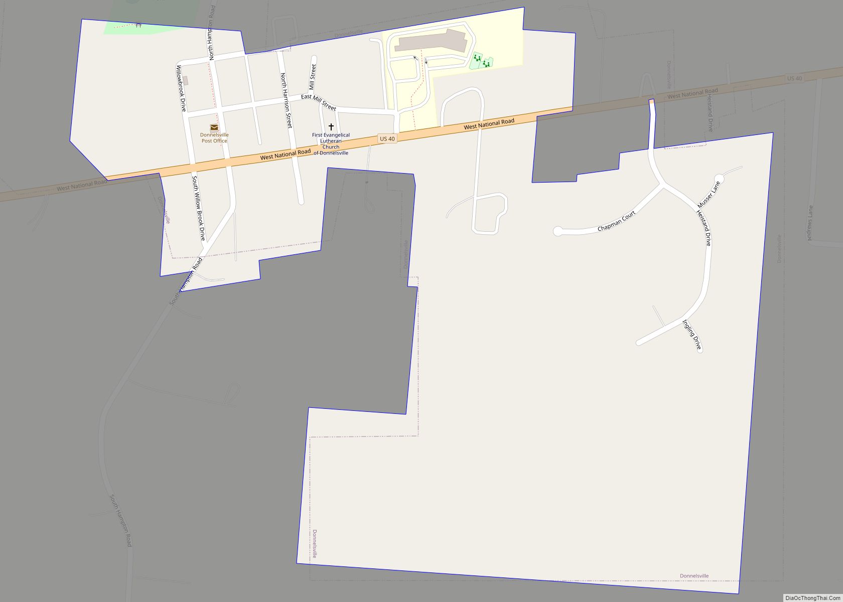
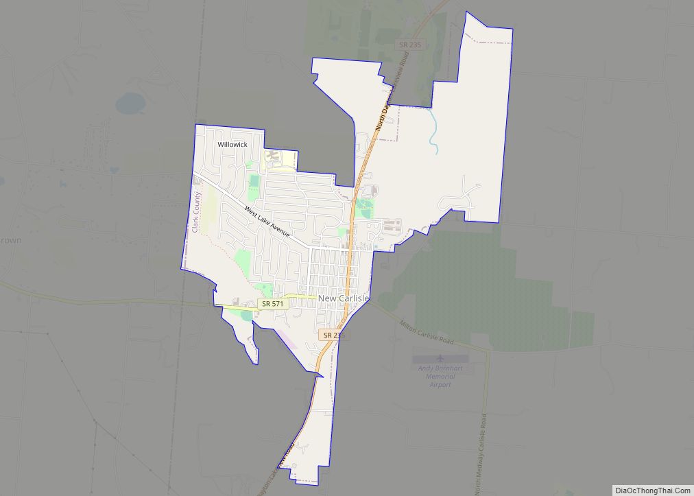
Online Interactive Map
Click on ![]() to view map in "full screen" mode.
to view map in "full screen" mode.
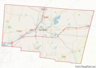
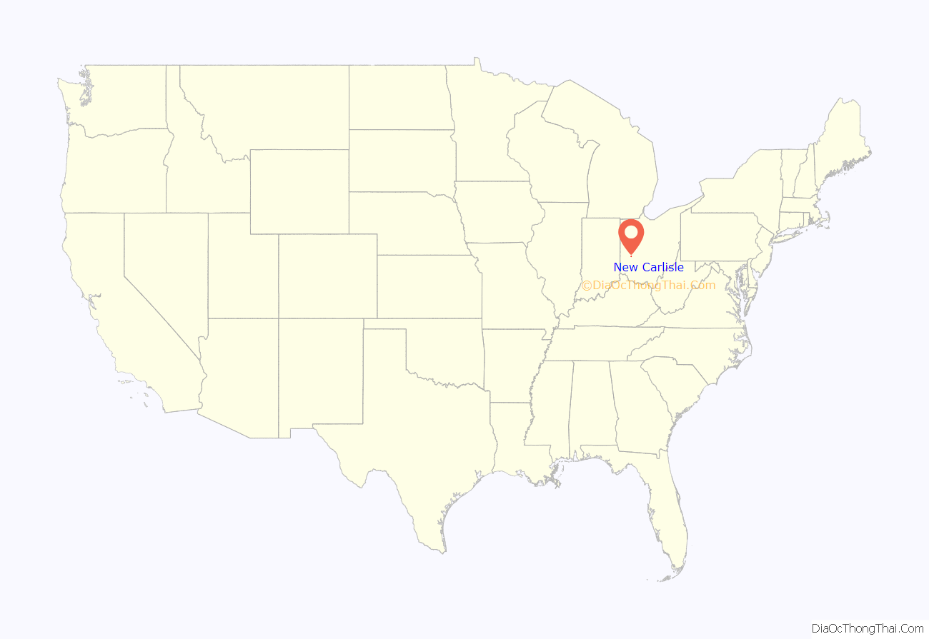
New Carlisle location map. Where is New Carlisle city?
History
New Carlisle was originally called Monroe, and under the latter name was laid out in 1810. The present name is a transfer from Carlisle, Pennsylvania, the birthplace of some of the first settlers. A post office called New Carlisle has been in operation since 1828. New Carlisle was incorporated as a village in 1831.
On June 21, 1933, the infamous John Dillinger committed his first bank robbery, taking $10,000 from the New Carlisle National Bank, which occupied the building which still stands at the southeast corner of Main Street and Jefferson Street (state routes 235 and 571) in New Carlisle.
New Carlisle was incorporated as a city in 1973.
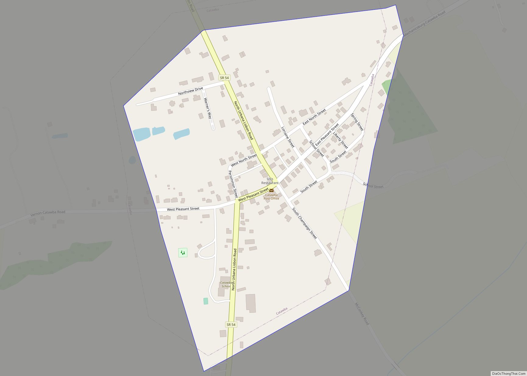
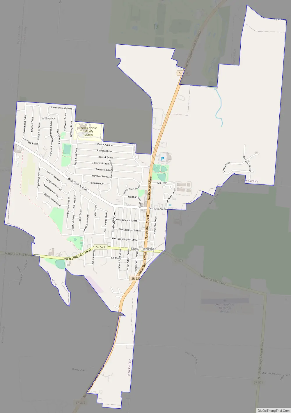
New Carlisle Road Map
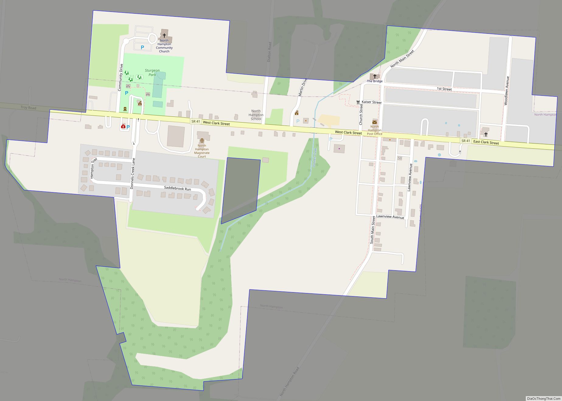
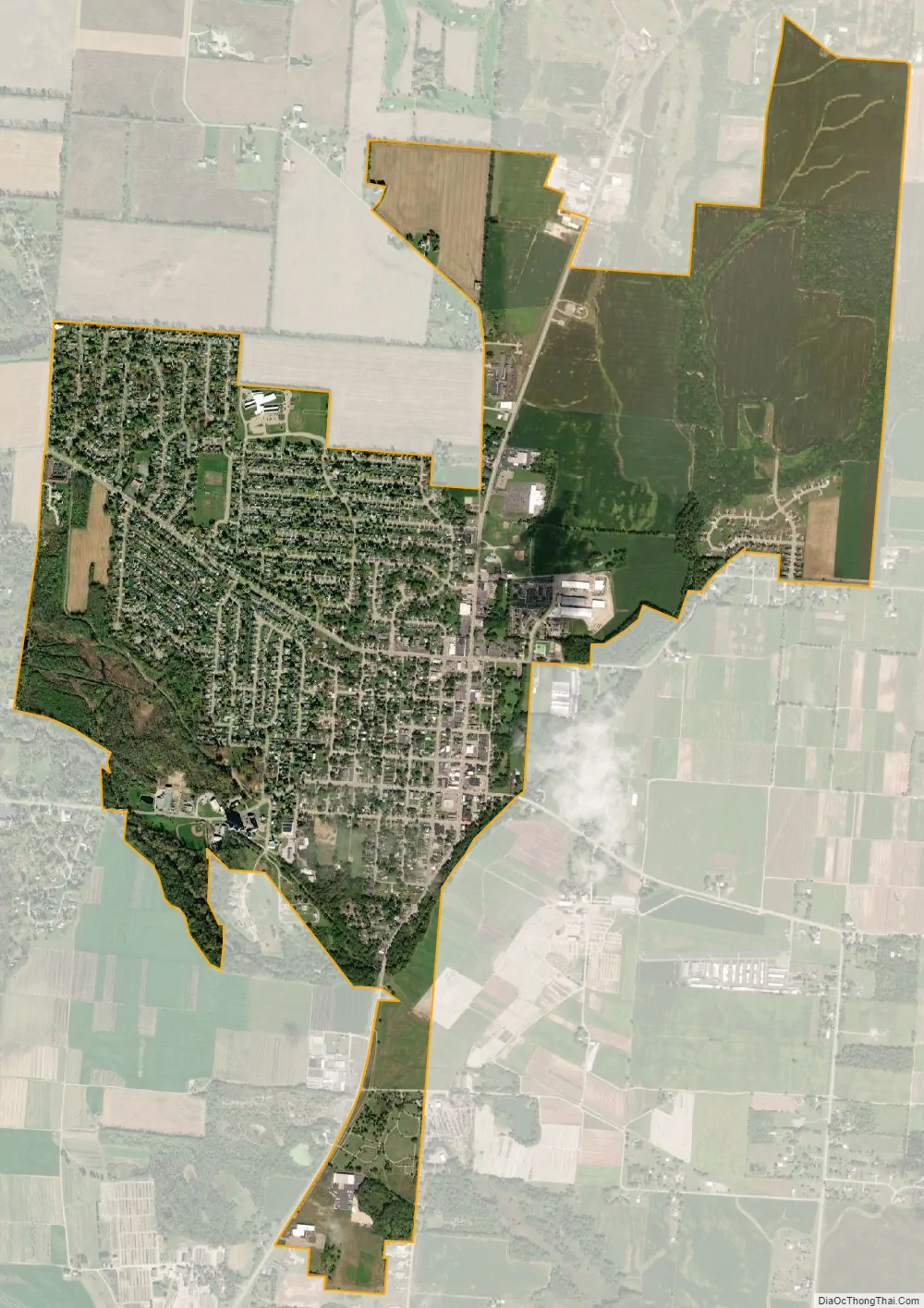
New Carlisle city Satellite Map
Geography
New Carlisle is located at 39°56′25″N 84°1′47″W / 39.94028°N 84.02972°W / 39.94028; -84.02972 (39.940314, −84.029634).
According to the United States Census Bureau, the city has a total area of 2.76 square miles (7.15 km), of which, 2.74 square miles (7.10 km) is land and 0.02 square miles (0.05 km) is water.
The census-designated place of Park Layne is adjacent to New Carlisle.
See also
Map of Ohio State and its subdivision:- Adams
- Allen
- Ashland
- Ashtabula
- Athens
- Auglaize
- Belmont
- Brown
- Butler
- Carroll
- Champaign
- Clark
- Clermont
- Clinton
- Columbiana
- Coshocton
- Crawford
- Cuyahoga
- Darke
- Defiance
- Delaware
- Erie
- Fairfield
- Fayette
- Franklin
- Fulton
- Gallia
- Geauga
- Greene
- Guernsey
- Hamilton
- Hancock
- Hardin
- Harrison
- Henry
- Highland
- Hocking
- Holmes
- Huron
- Jackson
- Jefferson
- Knox
- Lake
- Lake Erie
- Lawrence
- Licking
- Logan
- Lorain
- Lucas
- Madison
- Mahoning
- Marion
- Medina
- Meigs
- Mercer
- Miami
- Monroe
- Montgomery
- Morgan
- Morrow
- Muskingum
- Noble
- Ottawa
- Paulding
- Perry
- Pickaway
- Pike
- Portage
- Preble
- Putnam
- Richland
- Ross
- Sandusky
- Scioto
- Seneca
- Shelby
- Stark
- Summit
- Trumbull
- Tuscarawas
- Union
- Van Wert
- Vinton
- Warren
- Washington
- Wayne
- Williams
- Wood
- Wyandot
- Alabama
- Alaska
- Arizona
- Arkansas
- California
- Colorado
- Connecticut
- Delaware
- District of Columbia
- Florida
- Georgia
- Hawaii
- Idaho
- Illinois
- Indiana
- Iowa
- Kansas
- Kentucky
- Louisiana
- Maine
- Maryland
- Massachusetts
- Michigan
- Minnesota
- Mississippi
- Missouri
- Montana
- Nebraska
- Nevada
- New Hampshire
- New Jersey
- New Mexico
- New York
- North Carolina
- North Dakota
- Ohio
- Oklahoma
- Oregon
- Pennsylvania
- Rhode Island
- South Carolina
- South Dakota
- Tennessee
- Texas
- Utah
- Vermont
- Virginia
- Washington
- West Virginia
- Wisconsin
- Wyoming