North Hampton is a village in Clark County, Ohio, United States. The population was 478 at the 2010 census. It is part of the Springfield, Ohio Metropolitan Statistical Area.
| Name: | North Hampton village |
|---|---|
| LSAD Code: | 47 |
| LSAD Description: | village (suffix) |
| State: | Ohio |
| County: | Clark County |
| Elevation: | 1,093 ft (333 m) |
| Total Area: | 0.39 sq mi (1.00 km²) |
| Land Area: | 0.39 sq mi (1.00 km²) |
| Water Area: | 0.00 sq mi (0.00 km²) |
| Total Population: | 457 |
| Population Density: | 1,187.01/sq mi (458.50/km²) |
| ZIP code: | 45349 |
| Area code: | 937, 326 |
| FIPS code: | 3956588 |
| GNISfeature ID: | 1065471 |
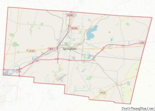
Online Interactive Map
Click on ![]() to view map in "full screen" mode.
to view map in "full screen" mode.
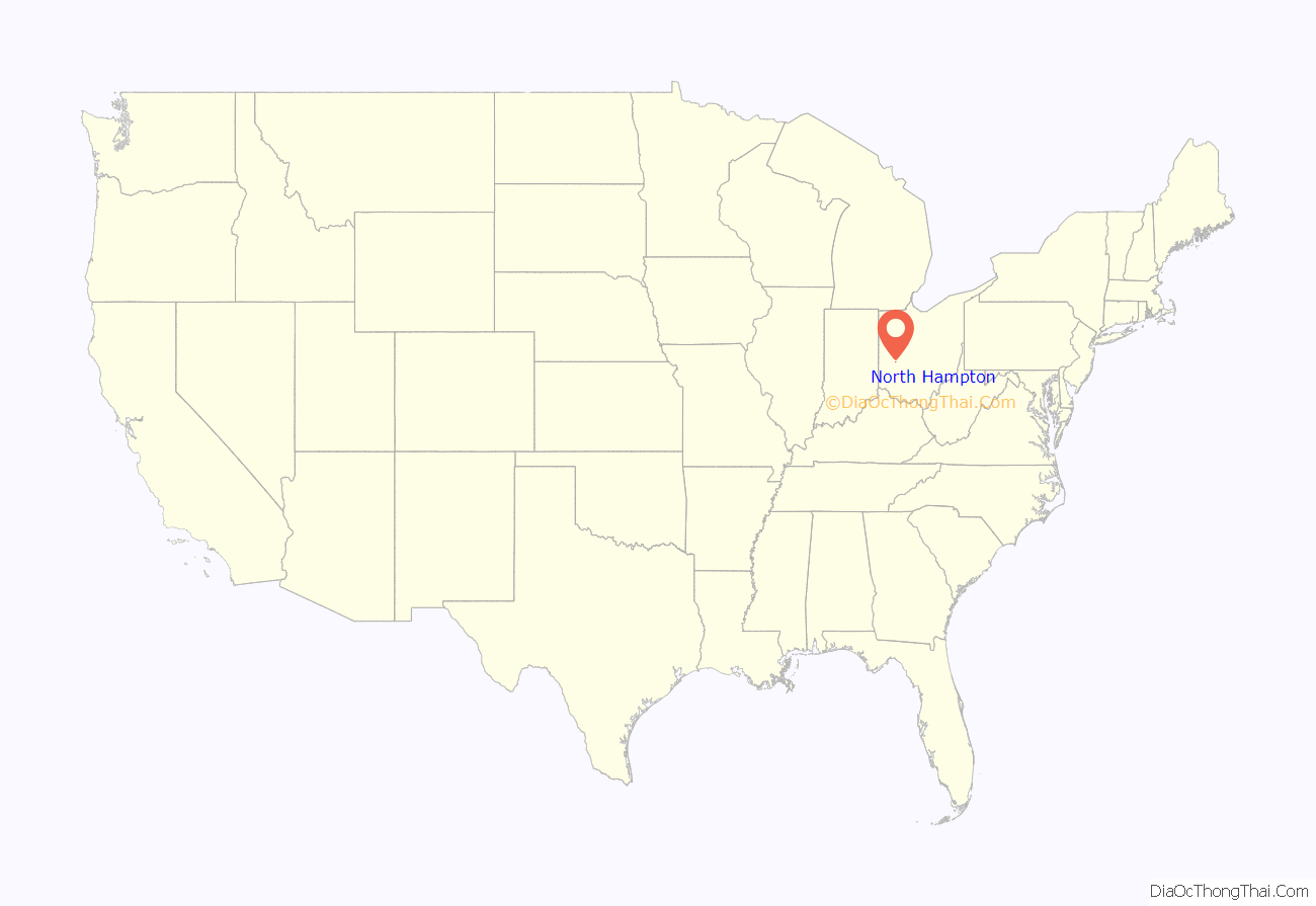
North Hampton location map. Where is North Hampton village?
History
North Hampton was platted in 1829. A post office called North Hampton has been in operation since 1839.
In 1969, North Hampton earned a place in rock and roll lore when confusion of the town’s name with that of Northampton Township, Ohio caused the rock group Vanilla Fudge to arrive at North Hampton for a rock concert instead of the Blossom Amphitheater. After learning that they were nearly 200 miles from the concert venue (near Cleveland), the band then charted a plane to fly them to the gig and arrived four hours late. Vocalist Mark Stein told a reporter later, “You understand, man, that the promoter kept telling our agent about Blossom Center in Northampton Township. Only we were up in Montreal, and looking at a map to find the place and sure enough — there’s this town, North Hampton, near Dayton somewhere. We figured, that’s a weird place for a concert, but if that’s where peoples’ heads are at in Ohio, fine — that’s where we’ll wail.”
North Hampton is a well-known speed trap throughout Ohio. As of 2022, fines for speeding start at $210, for 1-10 mph over. Various news outlets have covered the North Hampton speed trap.
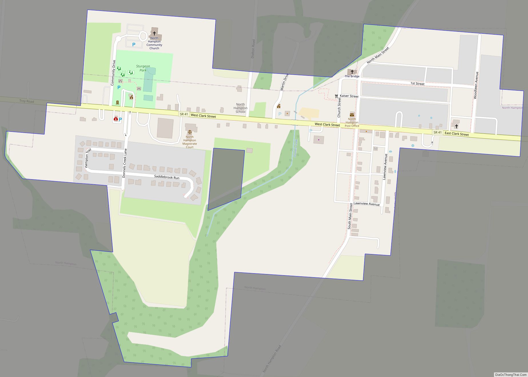
North Hampton Road Map
North Hampton city Satellite Map
Geography
North Hampton is located at 39°59′26″N 83°56′30″W / 39.99056°N 83.94167°W / 39.99056; -83.94167 (39.990592, -83.941676).
According to the United States Census Bureau, the village has a total area of 0.43 square miles (1.11 km), all of it land.
See also
Map of Ohio State and its subdivision:- Adams
- Allen
- Ashland
- Ashtabula
- Athens
- Auglaize
- Belmont
- Brown
- Butler
- Carroll
- Champaign
- Clark
- Clermont
- Clinton
- Columbiana
- Coshocton
- Crawford
- Cuyahoga
- Darke
- Defiance
- Delaware
- Erie
- Fairfield
- Fayette
- Franklin
- Fulton
- Gallia
- Geauga
- Greene
- Guernsey
- Hamilton
- Hancock
- Hardin
- Harrison
- Henry
- Highland
- Hocking
- Holmes
- Huron
- Jackson
- Jefferson
- Knox
- Lake
- Lake Erie
- Lawrence
- Licking
- Logan
- Lorain
- Lucas
- Madison
- Mahoning
- Marion
- Medina
- Meigs
- Mercer
- Miami
- Monroe
- Montgomery
- Morgan
- Morrow
- Muskingum
- Noble
- Ottawa
- Paulding
- Perry
- Pickaway
- Pike
- Portage
- Preble
- Putnam
- Richland
- Ross
- Sandusky
- Scioto
- Seneca
- Shelby
- Stark
- Summit
- Trumbull
- Tuscarawas
- Union
- Van Wert
- Vinton
- Warren
- Washington
- Wayne
- Williams
- Wood
- Wyandot
- Alabama
- Alaska
- Arizona
- Arkansas
- California
- Colorado
- Connecticut
- Delaware
- District of Columbia
- Florida
- Georgia
- Hawaii
- Idaho
- Illinois
- Indiana
- Iowa
- Kansas
- Kentucky
- Louisiana
- Maine
- Maryland
- Massachusetts
- Michigan
- Minnesota
- Mississippi
- Missouri
- Montana
- Nebraska
- Nevada
- New Hampshire
- New Jersey
- New Mexico
- New York
- North Carolina
- North Dakota
- Ohio
- Oklahoma
- Oregon
- Pennsylvania
- Rhode Island
- South Carolina
- South Dakota
- Tennessee
- Texas
- Utah
- Vermont
- Virginia
- Washington
- West Virginia
- Wisconsin
- Wyoming
