North Olmsted is a city in Cuyahoga County, Ohio, United States. As of the 2020 census, the city population was 32,442. North Olmsted is a west side suburb of Cleveland, Ohio, and is the 8th most populated city within Cuyahoga County.
| Name: | North Olmsted city |
|---|---|
| LSAD Code: | 25 |
| LSAD Description: | city (suffix) |
| State: | Ohio |
| County: | Cuyahoga County |
| Elevation: | 761 ft (232 m) |
| Total Area: | 11.67 sq mi (30.23 km²) |
| Land Area: | 11.67 sq mi (30.23 km²) |
| Water Area: | 0.00 sq mi (0.00 km²) |
| Total Population: | 32,442 |
| Population Density: | 2,779.23/sq mi (1,073.11/km²) |
| ZIP code: | 44070 |
| Area code: | 440 216 |
| FIPS code: | 3956882 |
| GNISfeature ID: | 1056457 |
| Website: | www.north-olmsted.com |
Online Interactive Map
Click on ![]() to view map in "full screen" mode.
to view map in "full screen" mode.
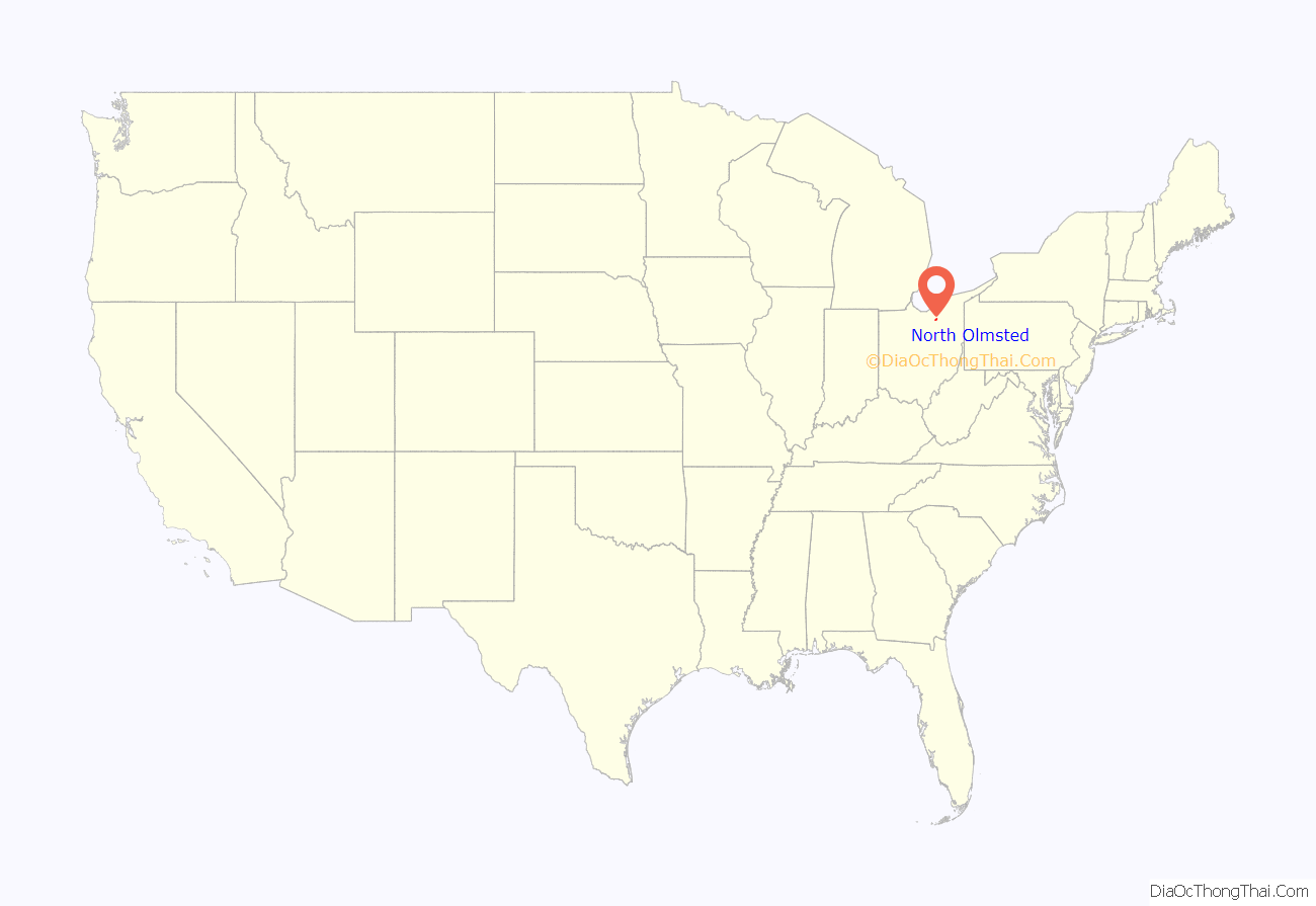
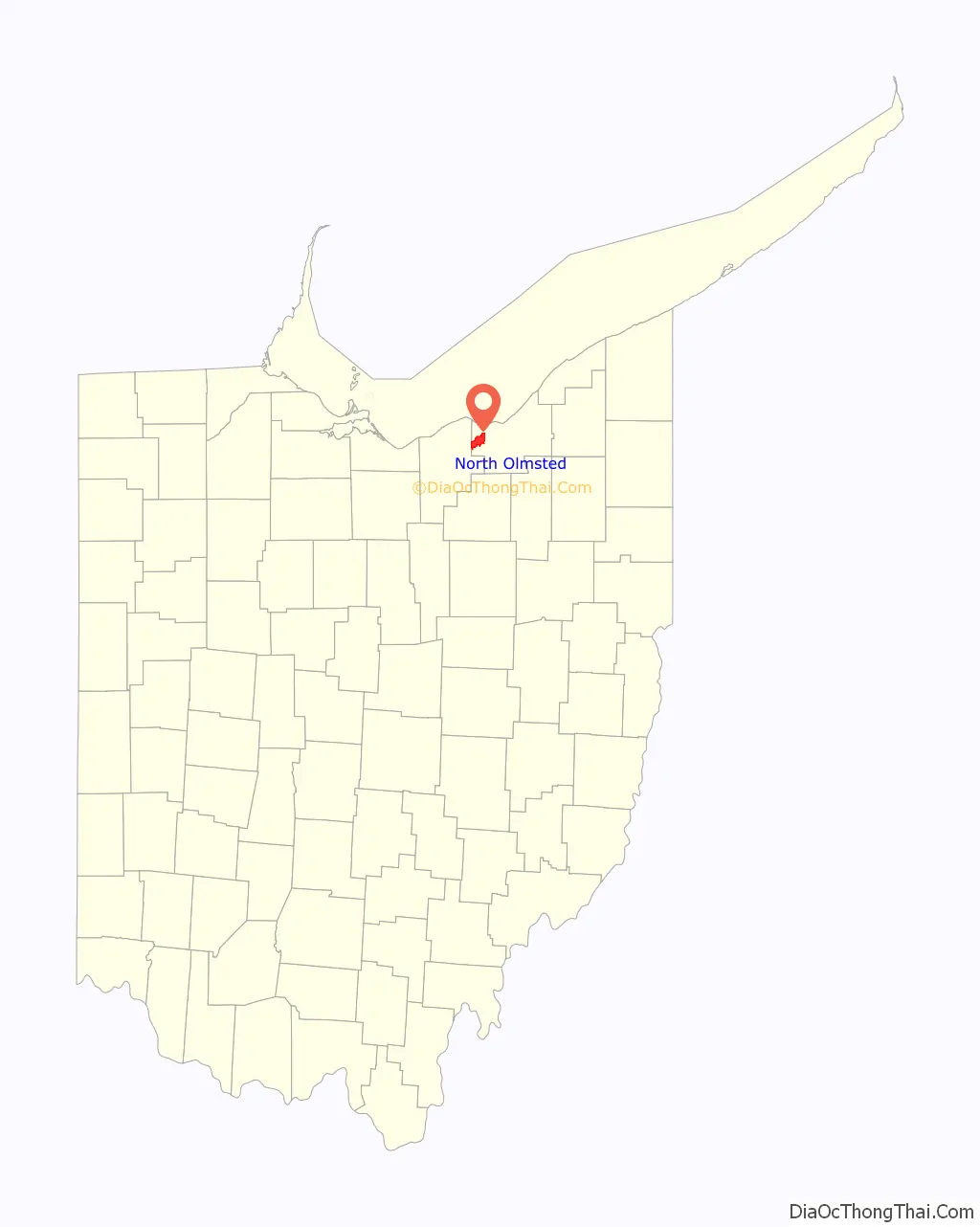
North Olmsted location map. Where is North Olmsted city?
History
The land that became North Olmsted was originally part of the French colony of Canada (New France), which was ceded in 1763 to Great Britain and renamed Province of Quebec. In the late 18th century the land became part of the Connecticut Western Reserve in the Northwest Territory, then was purchased by the Connecticut Land Company in 1795.
In 1806, the vast tract of land comprising present-day North Olmsted, Olmsted Falls and Olmsted Township was purchased for $30,000 by Aaron Olmsted, a wealthy sea captain. In 1815, David Johnson Stearns of Vermont was followed by other pioneers from New England who established a settlement in the wilderness. It was first called Plum Creek Township, an unofficial name, in 1807 and then in 1814 surveyors called it Kingston. On April 14, 1823 the people organized into a township called Lenox. In 1909, the city of North Olmsted came into being.
In 1826, Aaron Olmsted’s son, Charles Hyde Olmsted, offered to donate books from his father’s personal collection in Connecticut, if the residents of Lenox agreed to change the name of the area to Olmsted to honor his father. These books became known as the Ox Cart Library.
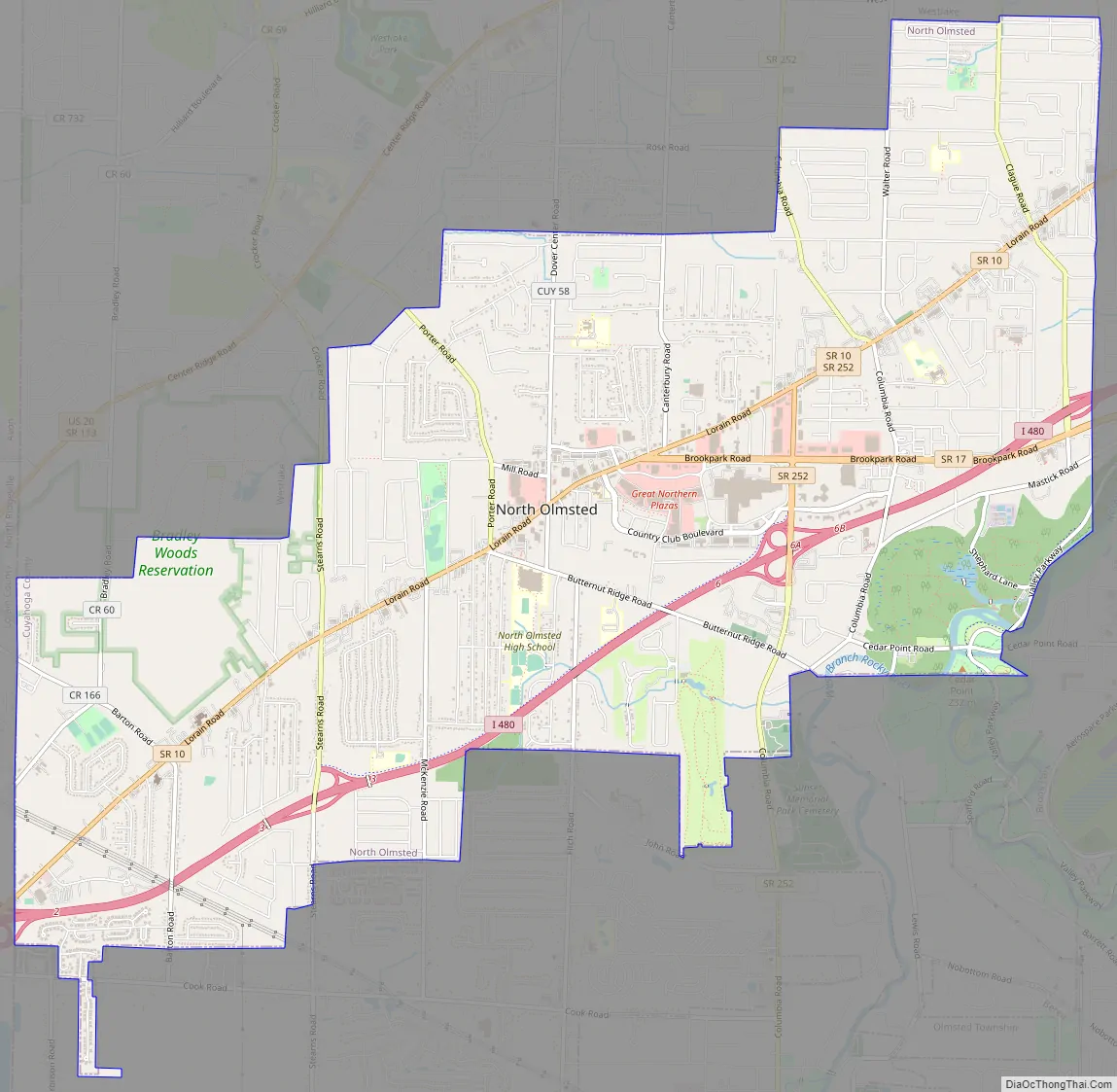
North Olmsted Road Map
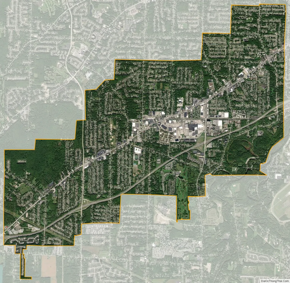
North Olmsted city Satellite Map
Geography
North Olmsted is located at 41°24′54″N 81°54′52″W / 41.41500°N 81.91444°W / 41.41500; -81.91444 (41.415097, -81.914366).
According to the United States Census Bureau, the city has a total area of 11.67 square miles (30.23 km), all land.
See also
Map of Ohio State and its subdivision:- Adams
- Allen
- Ashland
- Ashtabula
- Athens
- Auglaize
- Belmont
- Brown
- Butler
- Carroll
- Champaign
- Clark
- Clermont
- Clinton
- Columbiana
- Coshocton
- Crawford
- Cuyahoga
- Darke
- Defiance
- Delaware
- Erie
- Fairfield
- Fayette
- Franklin
- Fulton
- Gallia
- Geauga
- Greene
- Guernsey
- Hamilton
- Hancock
- Hardin
- Harrison
- Henry
- Highland
- Hocking
- Holmes
- Huron
- Jackson
- Jefferson
- Knox
- Lake
- Lake Erie
- Lawrence
- Licking
- Logan
- Lorain
- Lucas
- Madison
- Mahoning
- Marion
- Medina
- Meigs
- Mercer
- Miami
- Monroe
- Montgomery
- Morgan
- Morrow
- Muskingum
- Noble
- Ottawa
- Paulding
- Perry
- Pickaway
- Pike
- Portage
- Preble
- Putnam
- Richland
- Ross
- Sandusky
- Scioto
- Seneca
- Shelby
- Stark
- Summit
- Trumbull
- Tuscarawas
- Union
- Van Wert
- Vinton
- Warren
- Washington
- Wayne
- Williams
- Wood
- Wyandot
- Alabama
- Alaska
- Arizona
- Arkansas
- California
- Colorado
- Connecticut
- Delaware
- District of Columbia
- Florida
- Georgia
- Hawaii
- Idaho
- Illinois
- Indiana
- Iowa
- Kansas
- Kentucky
- Louisiana
- Maine
- Maryland
- Massachusetts
- Michigan
- Minnesota
- Mississippi
- Missouri
- Montana
- Nebraska
- Nevada
- New Hampshire
- New Jersey
- New Mexico
- New York
- North Carolina
- North Dakota
- Ohio
- Oklahoma
- Oregon
- Pennsylvania
- Rhode Island
- South Carolina
- South Dakota
- Tennessee
- Texas
- Utah
- Vermont
- Virginia
- Washington
- West Virginia
- Wisconsin
- Wyoming


