Norwood is the third most populous city in Hamilton County, Ohio, United States, and an enclave of the larger city of Cincinnati. The population was 19,207 at the 2010 census. Originally settled as an early suburb of Cincinnati in the wooded countryside north of the city, the area is characterized by older homes and tree-lined streets.
| Name: | Norwood city |
|---|---|
| LSAD Code: | 25 |
| LSAD Description: | city (suffix) |
| State: | Ohio |
| County: | Hamilton County |
| Elevation: | 656 ft (200 m) |
| Total Area: | 3.14 sq mi (8.14 km²) |
| Land Area: | 3.14 sq mi (8.14 km²) |
| Water Area: | 0.00 sq mi (0.00 km²) |
| Total Population: | 19,043 |
| Population Density: | 6,058.86/sq mi (2,339.33/km²) |
| ZIP code: | 45212, 45207 |
| Area code: | 513 |
| FIPS code: | 3957386 |
| GNISfeature ID: | 1056460 |
| Website: | http://www.norwood-ohio.com/ |
Online Interactive Map
Click on ![]() to view map in "full screen" mode.
to view map in "full screen" mode.
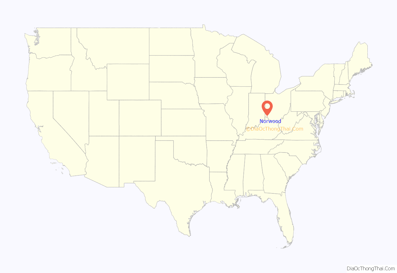
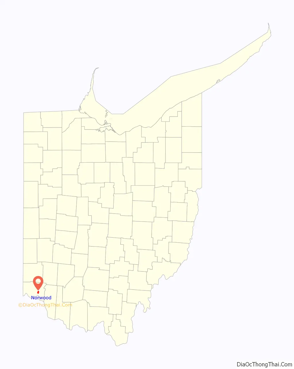
Norwood location map. Where is Norwood city?
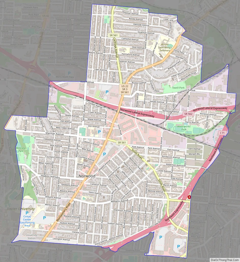
Norwood Road Map
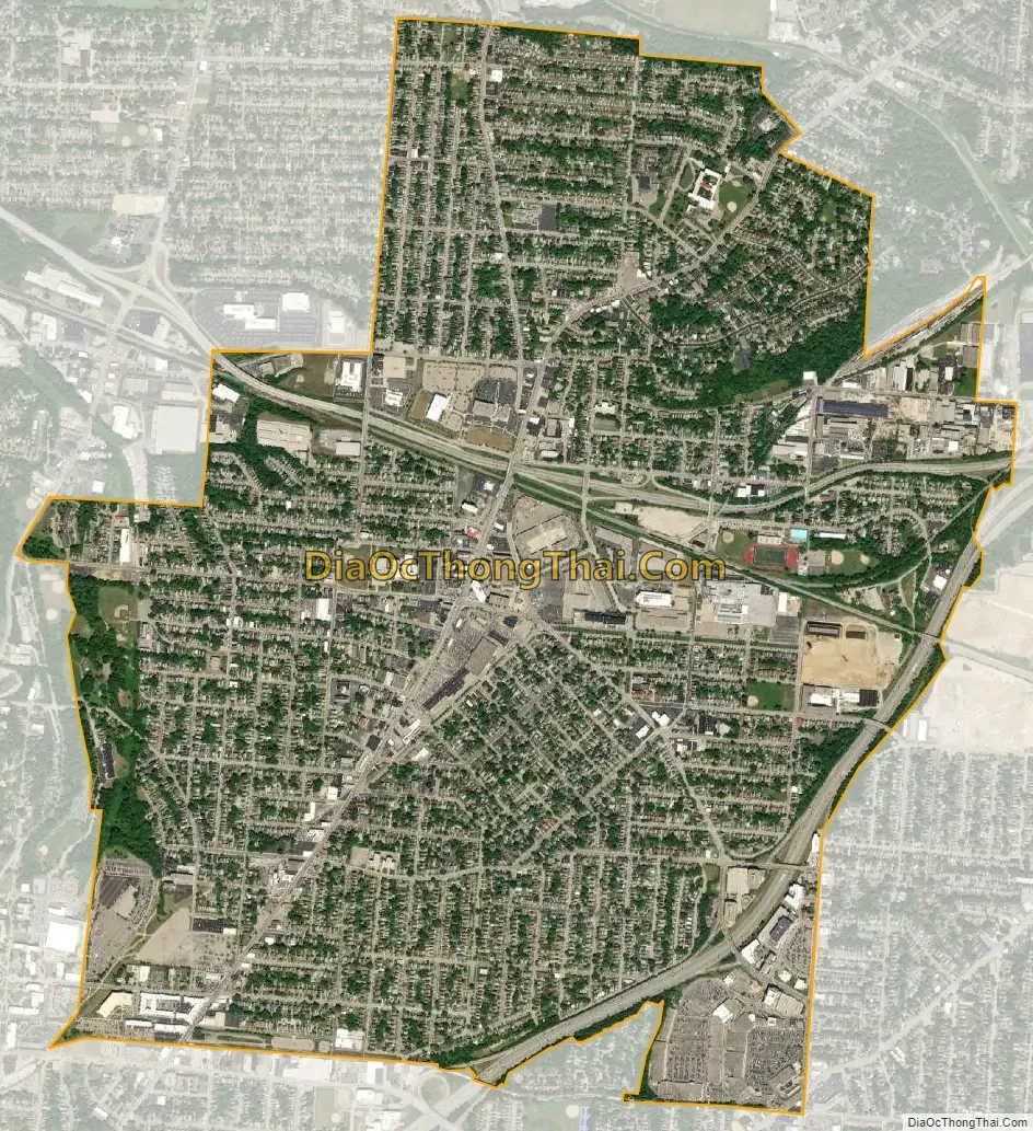
Norwood city Satellite Map
Geography
Norwood is located at 39°9′36″N 84°27′18″W / 39.16000°N 84.45500°W / 39.16000; -84.45500 (39.160060, −84.455074).
According to the United States Census Bureau, the city has a total area of 3.15 square miles (8.16 km), all land.
The southern, eastern, and western areas of the city lie mostly on flat terrain, while the northern half of the city is characterized by a steeper elevation. The highest point in Norwood is at the Norwood Indian Mound burial site in Tower Park at 656 ft (200 m) above sea level. That site is one of the highest land elevations in southwest Ohio. It is believed the burial mound was built at that site due to the high elevation.
Near the burial mound are two large water towers, built in the 19th century, which Norwood uses to store water and regulate water pressure throughout its city. The towers were curious points of interest in the early 20th century. Because they were built with spiral staircases (long since removed), people rode horses or took carriage rides to the towers in order to climb the stairs and view growing Cincinnati to the south and countryside to the north. Norwood is credited with coming to the aid of Cincinnati residents during the Ohio River flood of 1937. Cincinnati’s drinking water was largely contaminated so their residents depended on Norwood for fresh water, which Norwood had stored safely in the towers, above flood waters.
See also
Map of Ohio State and its subdivision:- Adams
- Allen
- Ashland
- Ashtabula
- Athens
- Auglaize
- Belmont
- Brown
- Butler
- Carroll
- Champaign
- Clark
- Clermont
- Clinton
- Columbiana
- Coshocton
- Crawford
- Cuyahoga
- Darke
- Defiance
- Delaware
- Erie
- Fairfield
- Fayette
- Franklin
- Fulton
- Gallia
- Geauga
- Greene
- Guernsey
- Hamilton
- Hancock
- Hardin
- Harrison
- Henry
- Highland
- Hocking
- Holmes
- Huron
- Jackson
- Jefferson
- Knox
- Lake
- Lake Erie
- Lawrence
- Licking
- Logan
- Lorain
- Lucas
- Madison
- Mahoning
- Marion
- Medina
- Meigs
- Mercer
- Miami
- Monroe
- Montgomery
- Morgan
- Morrow
- Muskingum
- Noble
- Ottawa
- Paulding
- Perry
- Pickaway
- Pike
- Portage
- Preble
- Putnam
- Richland
- Ross
- Sandusky
- Scioto
- Seneca
- Shelby
- Stark
- Summit
- Trumbull
- Tuscarawas
- Union
- Van Wert
- Vinton
- Warren
- Washington
- Wayne
- Williams
- Wood
- Wyandot
- Alabama
- Alaska
- Arizona
- Arkansas
- California
- Colorado
- Connecticut
- Delaware
- District of Columbia
- Florida
- Georgia
- Hawaii
- Idaho
- Illinois
- Indiana
- Iowa
- Kansas
- Kentucky
- Louisiana
- Maine
- Maryland
- Massachusetts
- Michigan
- Minnesota
- Mississippi
- Missouri
- Montana
- Nebraska
- Nevada
- New Hampshire
- New Jersey
- New Mexico
- New York
- North Carolina
- North Dakota
- Ohio
- Oklahoma
- Oregon
- Pennsylvania
- Rhode Island
- South Carolina
- South Dakota
- Tennessee
- Texas
- Utah
- Vermont
- Virginia
- Washington
- West Virginia
- Wisconsin
- Wyoming


