Olmsted Falls is a city in Cuyahoga County, Ohio, United States, and a southwestern suburb of Cleveland. The population was 9,024 at the 2010 census. The city’s main business district is located at the corners of Bagley and Columbia Roads, and contains the Grand Pacific Junction, an historic district.
| Name: | Olmsted Falls city |
|---|---|
| LSAD Code: | 25 |
| LSAD Description: | city (suffix) |
| State: | Ohio |
| County: | Cuyahoga County |
| Elevation: | 774 ft (236 m) |
| Total Area: | 4.08 sq mi (10.57 km²) |
| Land Area: | 4.08 sq mi (10.57 km²) |
| Water Area: | 0.00 sq mi (0.00 km²) |
| Total Population: | 8,582 |
| Population Density: | 2,102.92/sq mi (812.04/km²) |
| ZIP code: | 44138 |
| Area code: | 440 |
| FIPS code: | 3958422 |
| GNISfeature ID: | 1072238 |
Online Interactive Map
Click on ![]() to view map in "full screen" mode.
to view map in "full screen" mode.
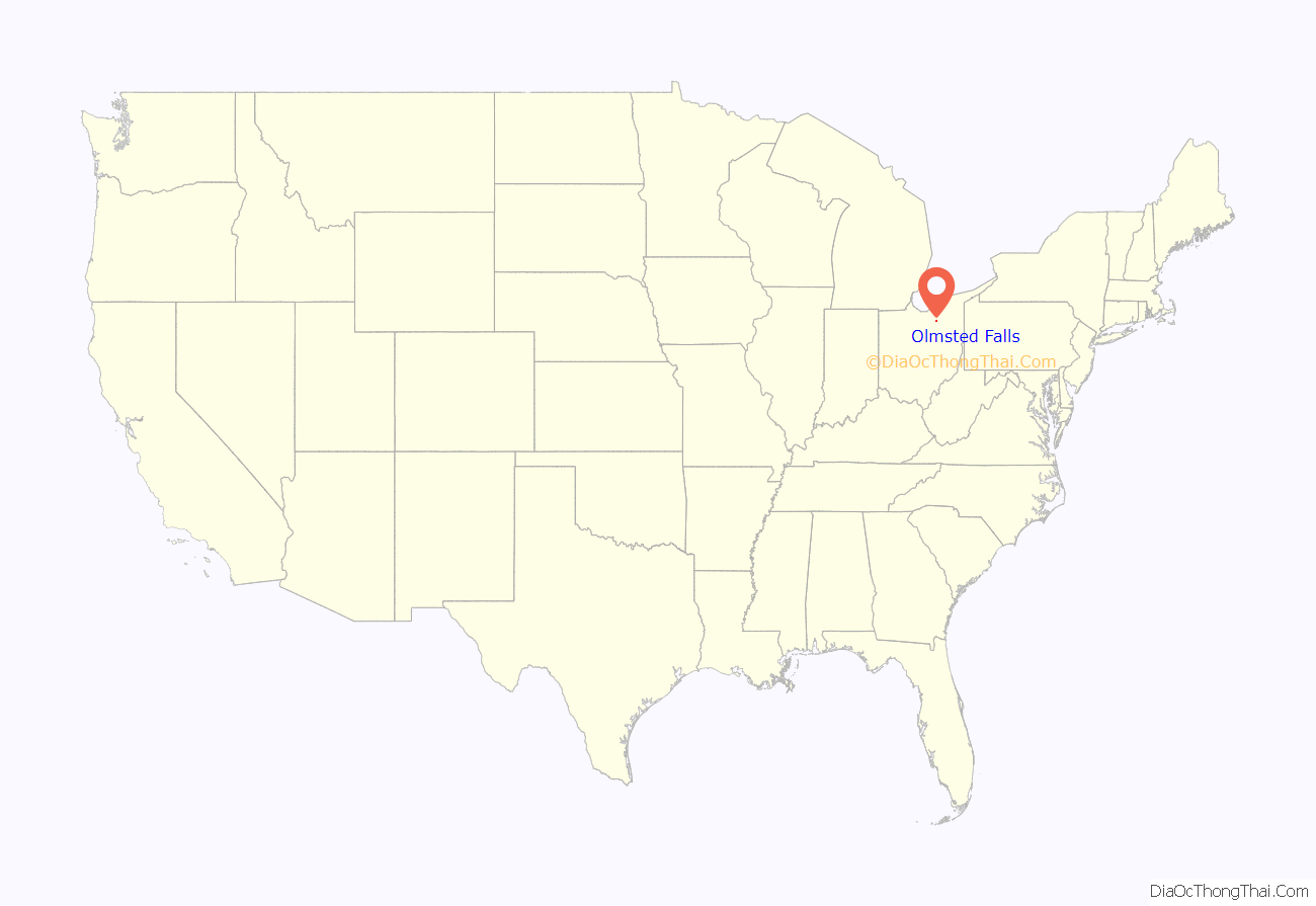
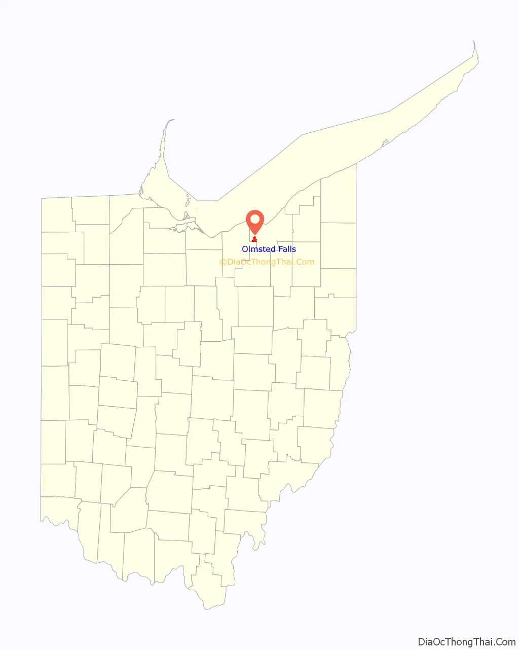
Olmsted Falls location map. Where is Olmsted Falls city?
History
After contact with the New World, the land that became Olmsted Falls was originally part of the French colony of Canada (New France), which was ceded in 1763 to Great Britain and renamed Province of Quebec. In the late 18th century the land became part of the Connecticut Western Reserve in the Northwest Territory, then was purchased by the Connecticut Land Company in 1795.
In 1806, the vast tract of land comprising present-day Olmsted Falls, North Olmsted, and Olmsted Township was purchased for $30,000 by Aaron Olmsted, a wealthy sea captain. While he sold off portions of the land which eventually became known as Kingston, Aaron Olmsted named the new town as Olmsted in honor of his brother Charles, one of the original lands purchasers.
Olmsted Falls was farmed in 1814 by James Geer who eventually built a home the following year about where the CSX Railroad now crosses State Route 252 (Columbia Road). That portion was known as Westview after Calvin and Lmul Hoadley built a mill on the Rocky River in West View.
The whole tract purchased by Aaron Olmsted in 1806, including portions of what is now North Olmsted, North Ridgeville and Middleburg Heights. Later, at least three sawmills were built along the Rocky River in Olmsted falls, becoming the main industry, after farming. The first was built by Watrous Usher, around 1825 near the center of the village. A second was built on Columbia Road by N. P. Loomis around 1836. Tom Stokes and Sylvester Alcott operated a third mill sometime before 1873.
In 1970 a group of residents sought to merge Olmsted Falls and Westview Village. The suggested contract was approved by over 90% of voters in each community. The name Westview, while not on any historic maps, exists through the comic strip Funky Winkerbean drawn by West View native Tom Batiuk.
Olmsted Falls was declared a city in 1970, having attained over 5000 residents to qualify under state rules. The government is non-partisan and is governed by a charter again written by a group of citizens and presented to the electorate for a vote which was approved.
The town restricts building along the banks of the Rocky River and Plum Creek. It also is physically crossed by two major railroads. CSX a, NE/SW road and Norfolk Southern which is a mainline east–west configuration. The city’s schools are administered by the Olmsted Falls City School District.
Vitamix World Headquarters is located in Olmsted Falls.
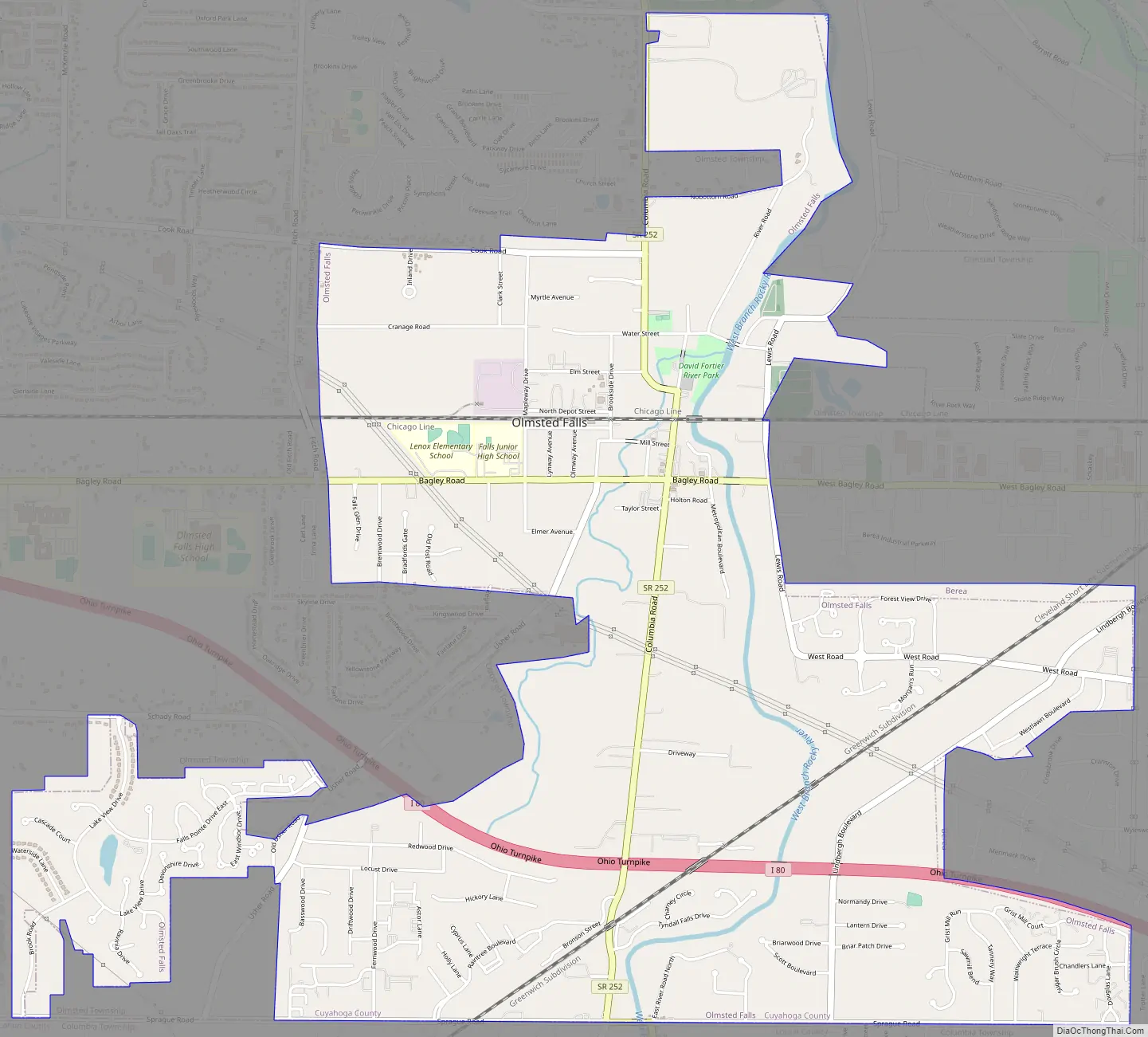
Olmsted Falls Road Map
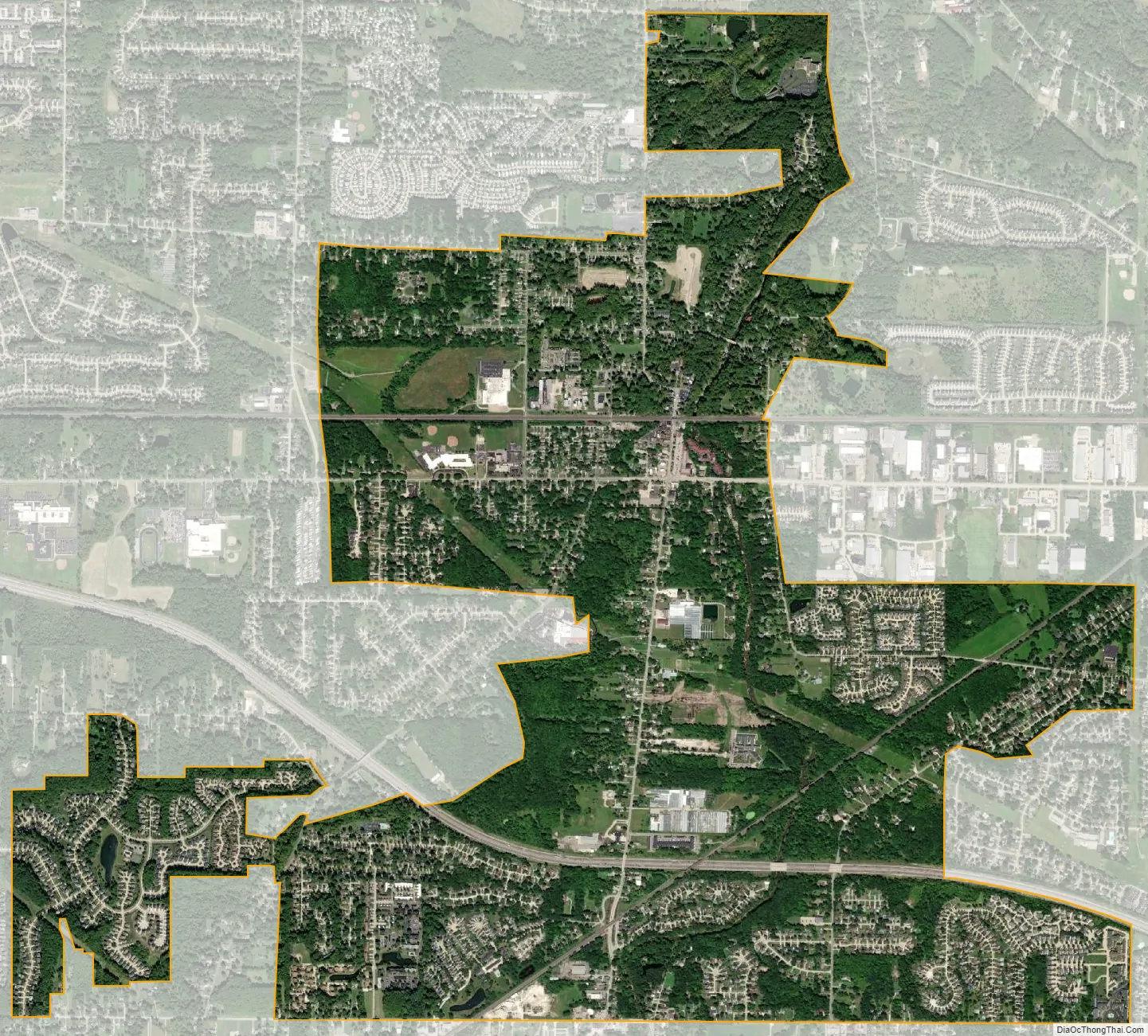
Olmsted Falls city Satellite Map
Geography
Olmsted Falls is located at 41°22′3″N 81°54′17″W / 41.36750°N 81.90472°W / 41.36750; -81.90472 (41.367626, -81.904818). According to the United States Census Bureau, the city has a total area of 4.12 square miles (10.67 km), all land.
See also
Map of Ohio State and its subdivision:- Adams
- Allen
- Ashland
- Ashtabula
- Athens
- Auglaize
- Belmont
- Brown
- Butler
- Carroll
- Champaign
- Clark
- Clermont
- Clinton
- Columbiana
- Coshocton
- Crawford
- Cuyahoga
- Darke
- Defiance
- Delaware
- Erie
- Fairfield
- Fayette
- Franklin
- Fulton
- Gallia
- Geauga
- Greene
- Guernsey
- Hamilton
- Hancock
- Hardin
- Harrison
- Henry
- Highland
- Hocking
- Holmes
- Huron
- Jackson
- Jefferson
- Knox
- Lake
- Lake Erie
- Lawrence
- Licking
- Logan
- Lorain
- Lucas
- Madison
- Mahoning
- Marion
- Medina
- Meigs
- Mercer
- Miami
- Monroe
- Montgomery
- Morgan
- Morrow
- Muskingum
- Noble
- Ottawa
- Paulding
- Perry
- Pickaway
- Pike
- Portage
- Preble
- Putnam
- Richland
- Ross
- Sandusky
- Scioto
- Seneca
- Shelby
- Stark
- Summit
- Trumbull
- Tuscarawas
- Union
- Van Wert
- Vinton
- Warren
- Washington
- Wayne
- Williams
- Wood
- Wyandot
- Alabama
- Alaska
- Arizona
- Arkansas
- California
- Colorado
- Connecticut
- Delaware
- District of Columbia
- Florida
- Georgia
- Hawaii
- Idaho
- Illinois
- Indiana
- Iowa
- Kansas
- Kentucky
- Louisiana
- Maine
- Maryland
- Massachusetts
- Michigan
- Minnesota
- Mississippi
- Missouri
- Montana
- Nebraska
- Nevada
- New Hampshire
- New Jersey
- New Mexico
- New York
- North Carolina
- North Dakota
- Ohio
- Oklahoma
- Oregon
- Pennsylvania
- Rhode Island
- South Carolina
- South Dakota
- Tennessee
- Texas
- Utah
- Vermont
- Virginia
- Washington
- West Virginia
- Wisconsin
- Wyoming


