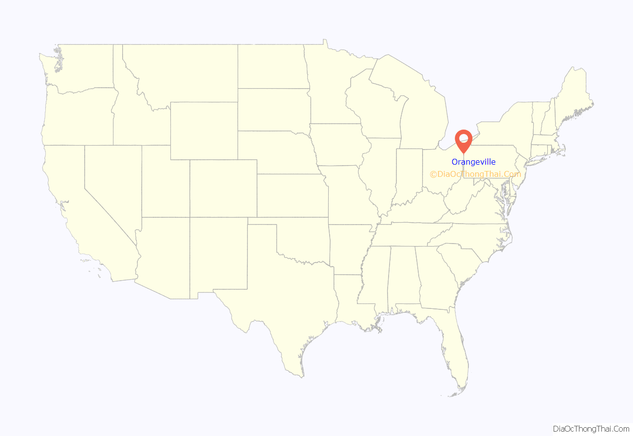
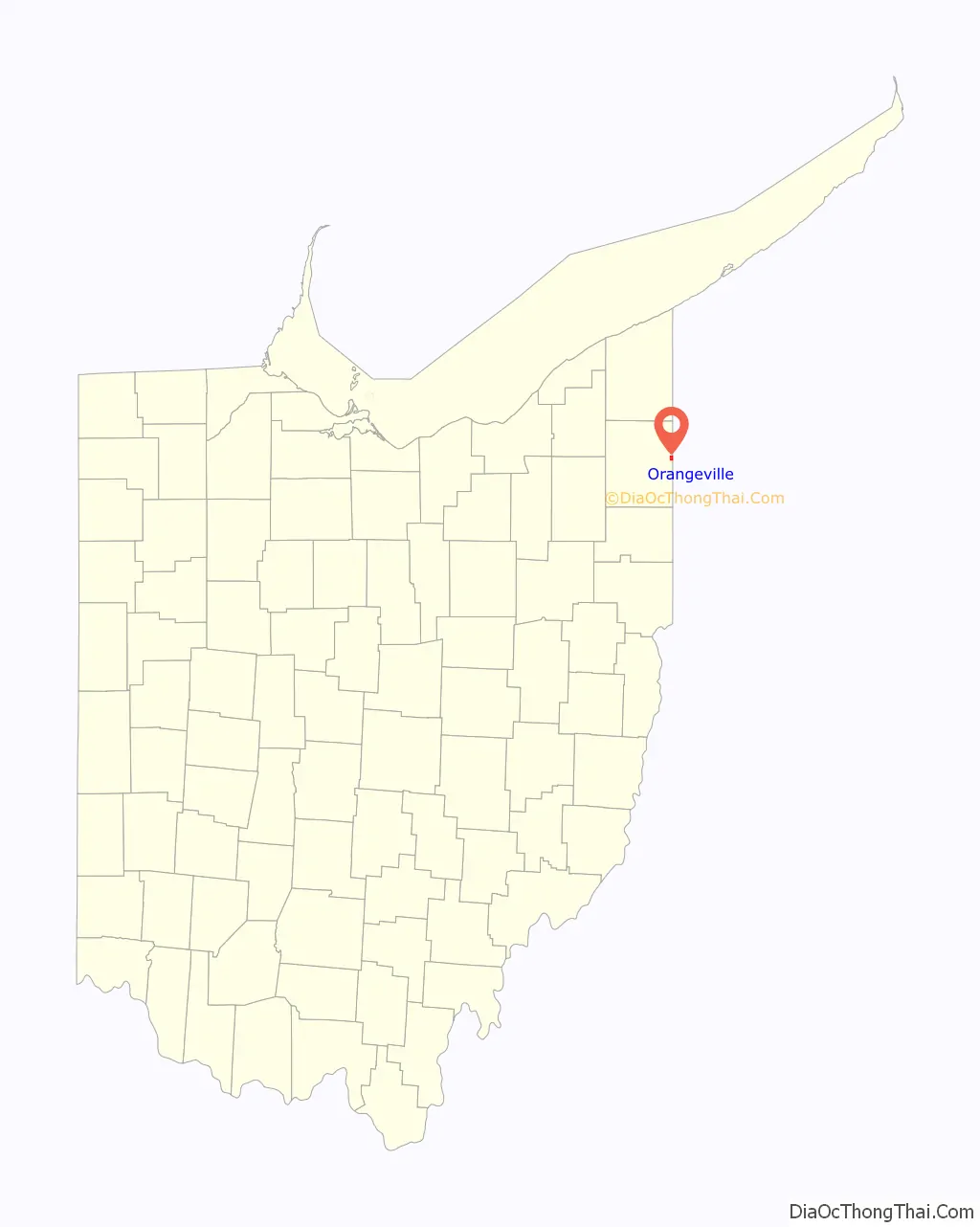
Orangeville is a village in eastern Trumbull County, Ohio, United States, along the state line with Pennsylvania. The population was 174 at the 2020 census. It is part of the Youngstown–Warren metropolitan area.
| Name: | Orangeville village |
|---|---|
| LSAD Code: | 47 |
| LSAD Description: | village (suffix) |
| State: | Ohio |
| County: | Trumbull County |
| Elevation: | 919 ft (280 m) |
| Total Area: | 1.05 sq mi (2.71 km²) |
| Land Area: | 0.74 sq mi (1.93 km²) |
| Water Area: | 0.30 sq mi (0.78 km²) |
| Total Population: | 174 |
| Population Density: | 233.56/sq mi (90.20/km²) |
| ZIP code: | 44453 |
| Area code: | 234/330 |
| FIPS code: | 3958674 |
| GNISfeature ID: | 1065212 |
Online Interactive Map
Click on ![]() to view map in "full screen" mode.
to view map in "full screen" mode.
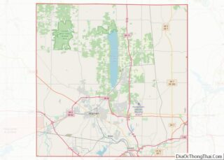
Orangeville location map. Where is Orangeville village?
History
A post office called Orangeville has been in operation since 1840. The etymology of the name Orangeville is obscure; the name may be a transfer from Orange, Connecticut.
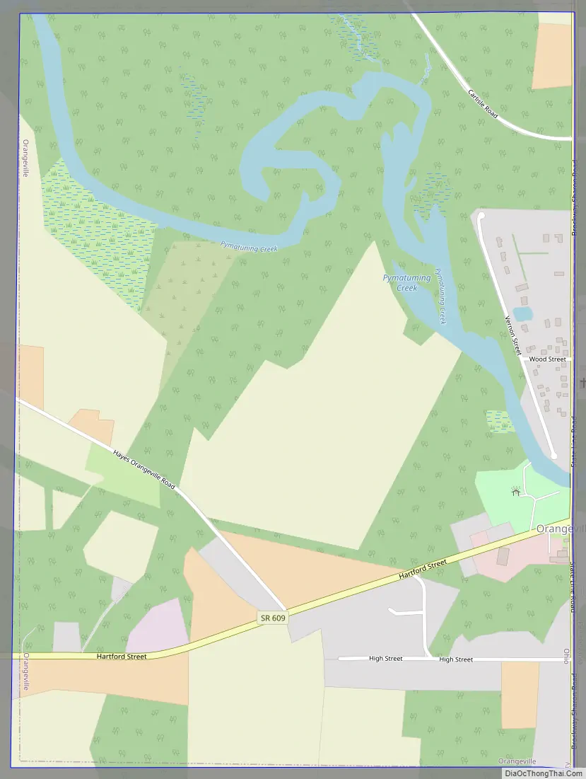
Orangeville Road Map
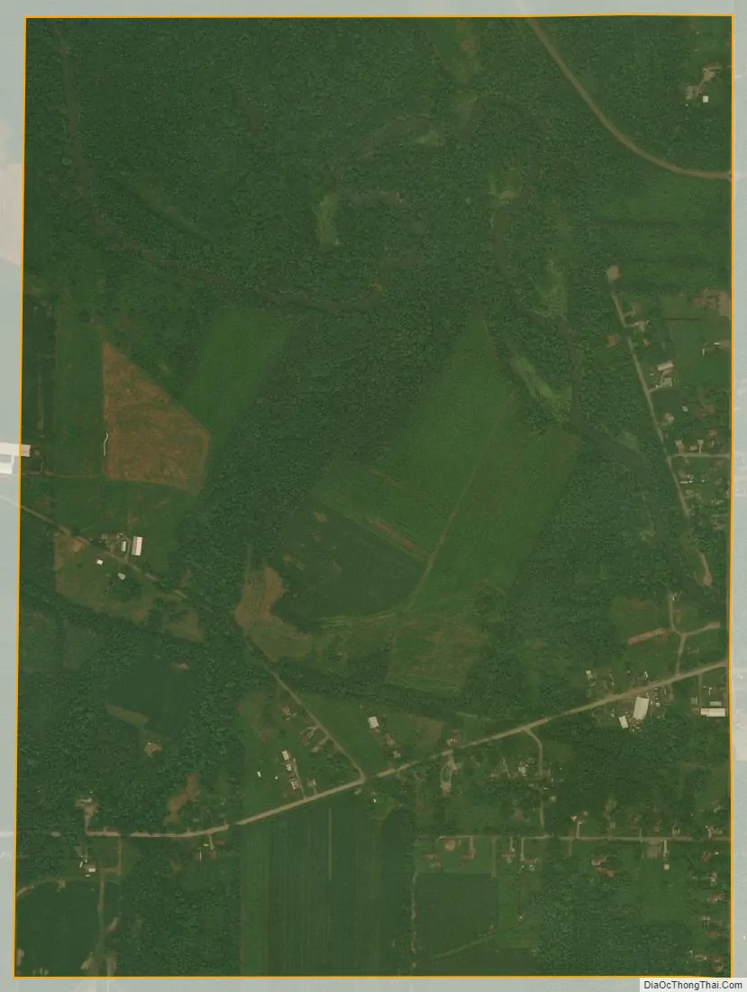
Orangeville city Satellite Map
Geography
Orangeville is located at 41°20′28″N 80°31′22″W / 41.34111°N 80.52278°W / 41.34111; -80.52278 (41.341047, -80.522833). It is one of the easternmost incorporated communities in Ohio.
According to the United States Census Bureau, the village has a total area of 1.16 square miles (3.00 km), of which 0.84 square miles (2.18 km) is land and 0.32 square miles (0.83 km) is water.
See also
Map of Ohio State and its subdivision:- Adams
- Allen
- Ashland
- Ashtabula
- Athens
- Auglaize
- Belmont
- Brown
- Butler
- Carroll
- Champaign
- Clark
- Clermont
- Clinton
- Columbiana
- Coshocton
- Crawford
- Cuyahoga
- Darke
- Defiance
- Delaware
- Erie
- Fairfield
- Fayette
- Franklin
- Fulton
- Gallia
- Geauga
- Greene
- Guernsey
- Hamilton
- Hancock
- Hardin
- Harrison
- Henry
- Highland
- Hocking
- Holmes
- Huron
- Jackson
- Jefferson
- Knox
- Lake
- Lake Erie
- Lawrence
- Licking
- Logan
- Lorain
- Lucas
- Madison
- Mahoning
- Marion
- Medina
- Meigs
- Mercer
- Miami
- Monroe
- Montgomery
- Morgan
- Morrow
- Muskingum
- Noble
- Ottawa
- Paulding
- Perry
- Pickaway
- Pike
- Portage
- Preble
- Putnam
- Richland
- Ross
- Sandusky
- Scioto
- Seneca
- Shelby
- Stark
- Summit
- Trumbull
- Tuscarawas
- Union
- Van Wert
- Vinton
- Warren
- Washington
- Wayne
- Williams
- Wood
- Wyandot
- Alabama
- Alaska
- Arizona
- Arkansas
- California
- Colorado
- Connecticut
- Delaware
- District of Columbia
- Florida
- Georgia
- Hawaii
- Idaho
- Illinois
- Indiana
- Iowa
- Kansas
- Kentucky
- Louisiana
- Maine
- Maryland
- Massachusetts
- Michigan
- Minnesota
- Mississippi
- Missouri
- Montana
- Nebraska
- Nevada
- New Hampshire
- New Jersey
- New Mexico
- New York
- North Carolina
- North Dakota
- Ohio
- Oklahoma
- Oregon
- Pennsylvania
- Rhode Island
- South Carolina
- South Dakota
- Tennessee
- Texas
- Utah
- Vermont
- Virginia
- Washington
- West Virginia
- Wisconsin
- Wyoming