Ottoville is a village in Putnam County, Ohio, in the United States. The population was 976 at the 2010 census.
| Name: | Ottoville village |
|---|---|
| LSAD Code: | 47 |
| LSAD Description: | village (suffix) |
| State: | Ohio |
| County: | Putnam County |
| Elevation: | 738 ft (225 m) |
| Total Area: | 0.95 sq mi (2.46 km²) |
| Land Area: | 0.95 sq mi (2.45 km²) |
| Water Area: | 0.00 sq mi (0.00 km²) |
| Total Population: | 966 |
| Population Density: | 1,020.06/sq mi (393.98/km²) |
| ZIP code: | 45876 |
| Area code: | 419 |
| FIPS code: | 3959052 |
| GNISfeature ID: | 1070885 |
| Website: | http://www.villageofottoville.org/ |
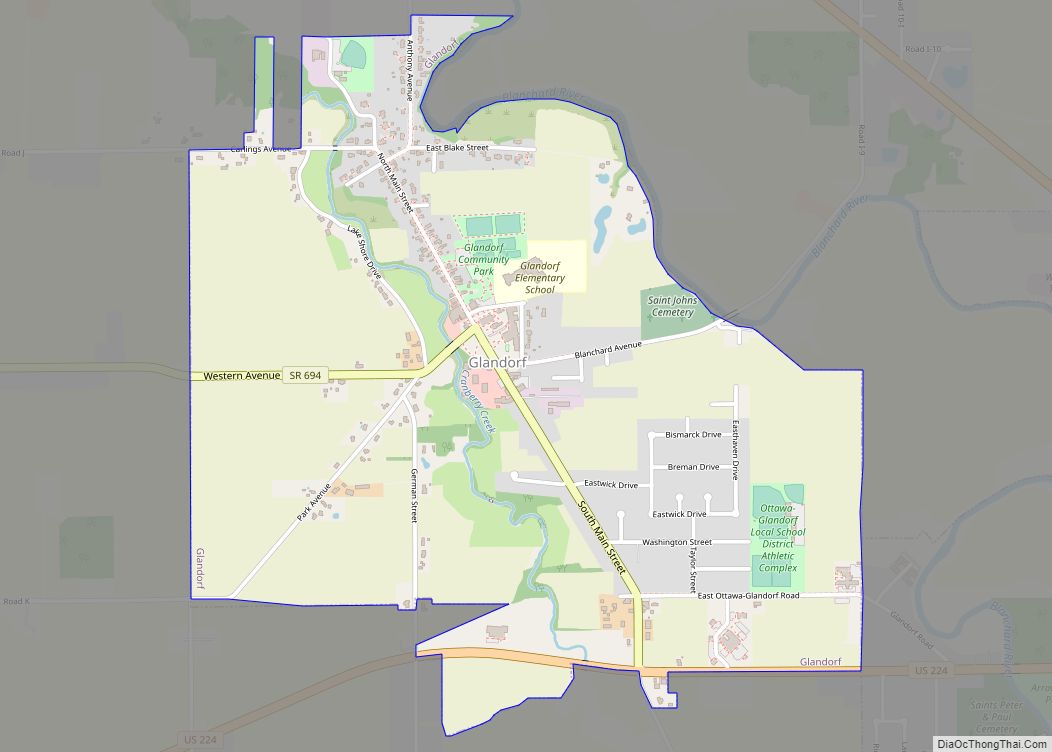
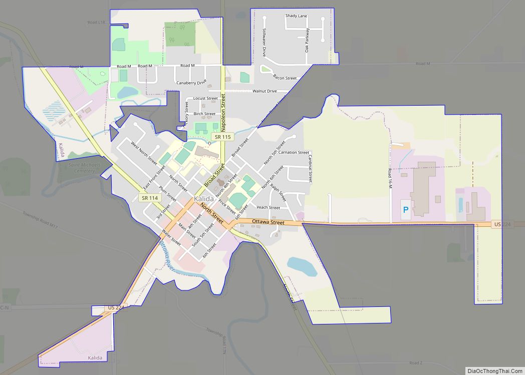
Online Interactive Map
Click on ![]() to view map in "full screen" mode.
to view map in "full screen" mode.
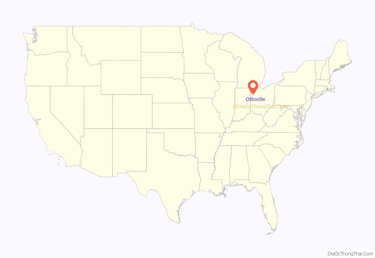
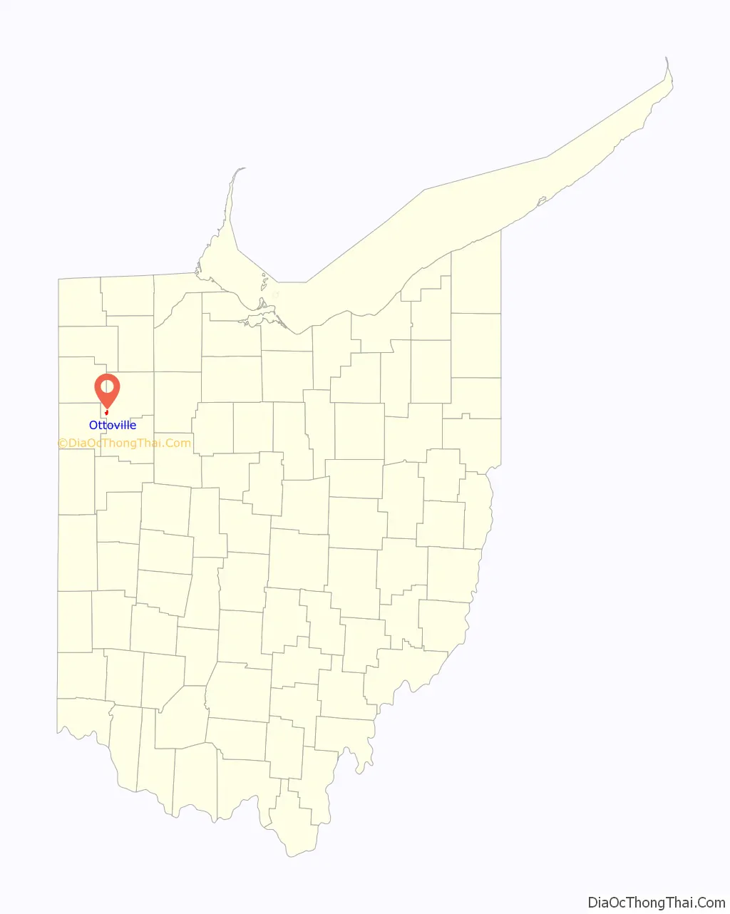
Ottoville location map. Where is Ottoville village?
History
The first plat at Ottoville was made in 1845 for John Otto Bredeick. The effort at first proved unsuccessful, and the town site was platted again in 1873. A post office called Otto was established in 1880, and the name was changed to Ottoville in 1881. Ottoville was incorporated as a village in 1890.
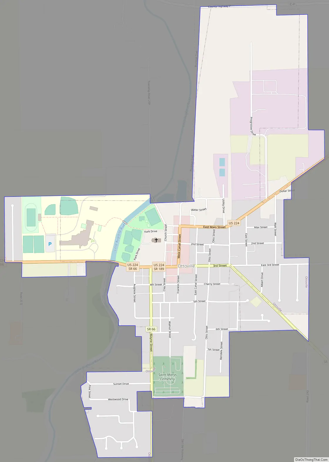
Ottoville Road Map
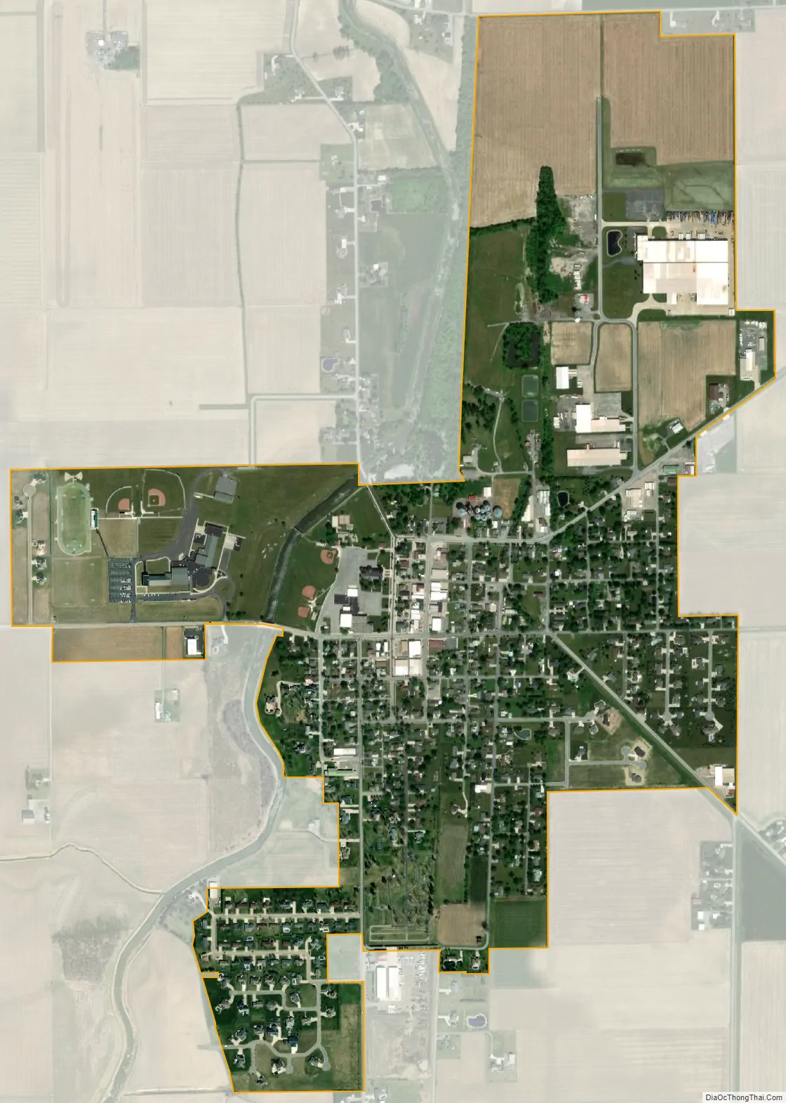
Ottoville city Satellite Map
Geography
Ottoville is located at 40°55′54″N 84°20′16″W / 40.93167°N 84.33778°W / 40.93167; -84.33778 (40.931676, -84.337723).
According to the United States Census Bureau, the village has a total area of 0.81 square miles (2.10 km), of which 0.80 square miles (2.07 km) is land and 0.01 square miles (0.03 km) is water.
See also
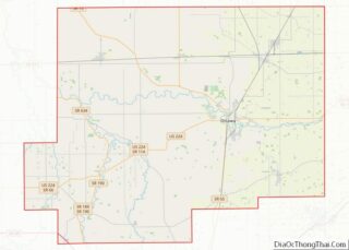
Map of Ohio State and its subdivision:- Adams
- Allen
- Ashland
- Ashtabula
- Athens
- Auglaize
- Belmont
- Brown
- Butler
- Carroll
- Champaign
- Clark
- Clermont
- Clinton
- Columbiana
- Coshocton
- Crawford
- Cuyahoga
- Darke
- Defiance
- Delaware
- Erie
- Fairfield
- Fayette
- Franklin
- Fulton
- Gallia
- Geauga
- Greene
- Guernsey
- Hamilton
- Hancock
- Hardin
- Harrison
- Henry
- Highland
- Hocking
- Holmes
- Huron
- Jackson
- Jefferson
- Knox
- Lake
- Lake Erie
- Lawrence
- Licking
- Logan
- Lorain
- Lucas
- Madison
- Mahoning
- Marion
- Medina
- Meigs
- Mercer
- Miami
- Monroe
- Montgomery
- Morgan
- Morrow
- Muskingum
- Noble
- Ottawa
- Paulding
- Perry
- Pickaway
- Pike
- Portage
- Preble
- Putnam
- Richland
- Ross
- Sandusky
- Scioto
- Seneca
- Shelby
- Stark
- Summit
- Trumbull
- Tuscarawas
- Union
- Van Wert
- Vinton
- Warren
- Washington
- Wayne
- Williams
- Wood
- Wyandot
- Alabama
- Alaska
- Arizona
- Arkansas
- California
- Colorado
- Connecticut
- Delaware
- District of Columbia
- Florida
- Georgia
- Hawaii
- Idaho
- Illinois
- Indiana
- Iowa
- Kansas
- Kentucky
- Louisiana
- Maine
- Maryland
- Massachusetts
- Michigan
- Minnesota
- Mississippi
- Missouri
- Montana
- Nebraska
- Nevada
- New Hampshire
- New Jersey
- New Mexico
- New York
- North Carolina
- North Dakota
- Ohio
- Oklahoma
- Oregon
- Pennsylvania
- Rhode Island
- South Carolina
- South Dakota
- Tennessee
- Texas
- Utah
- Vermont
- Virginia
- Washington
- West Virginia
- Wisconsin
- Wyoming