Otway is a village in Scioto County, Ohio, United States. The population was 87 at the 2010 census.
| Name: | Otway village |
|---|---|
| LSAD Code: | 47 |
| LSAD Description: | village (suffix) |
| State: | Ohio |
| County: | Scioto County |
| Elevation: | 597 ft (182 m) |
| Total Area: | 0.18 sq mi (0.46 km²) |
| Land Area: | 0.17 sq mi (0.45 km²) |
| Water Area: | 0.00 sq mi (0.01 km²) |
| Total Population: | 92 |
| Population Density: | 525.71/sq mi (203.03/km²) |
| ZIP code: | 45657 |
| Area code: | 740 |
| FIPS code: | 3959066 |
| GNISfeature ID: | 1065223 |
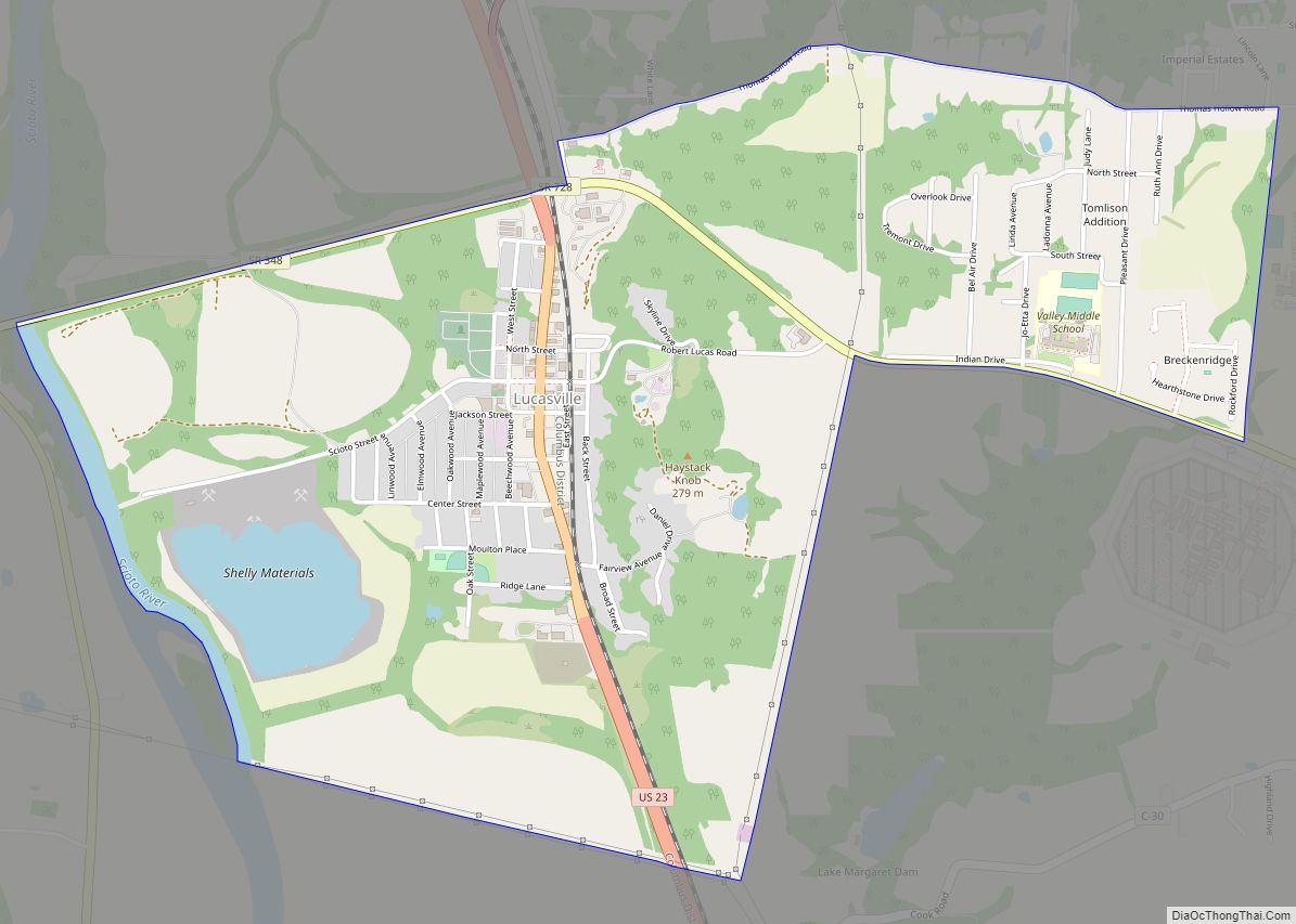
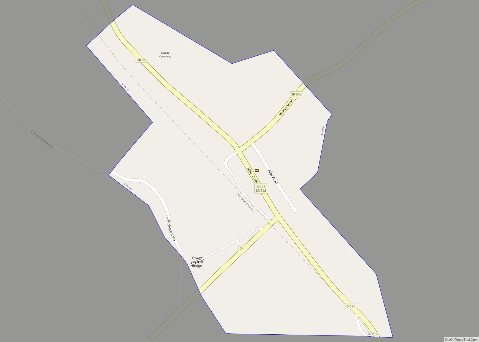
Online Interactive Map
Click on ![]() to view map in "full screen" mode.
to view map in "full screen" mode.
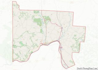
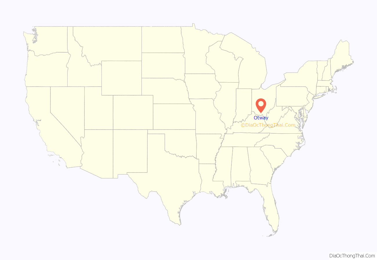
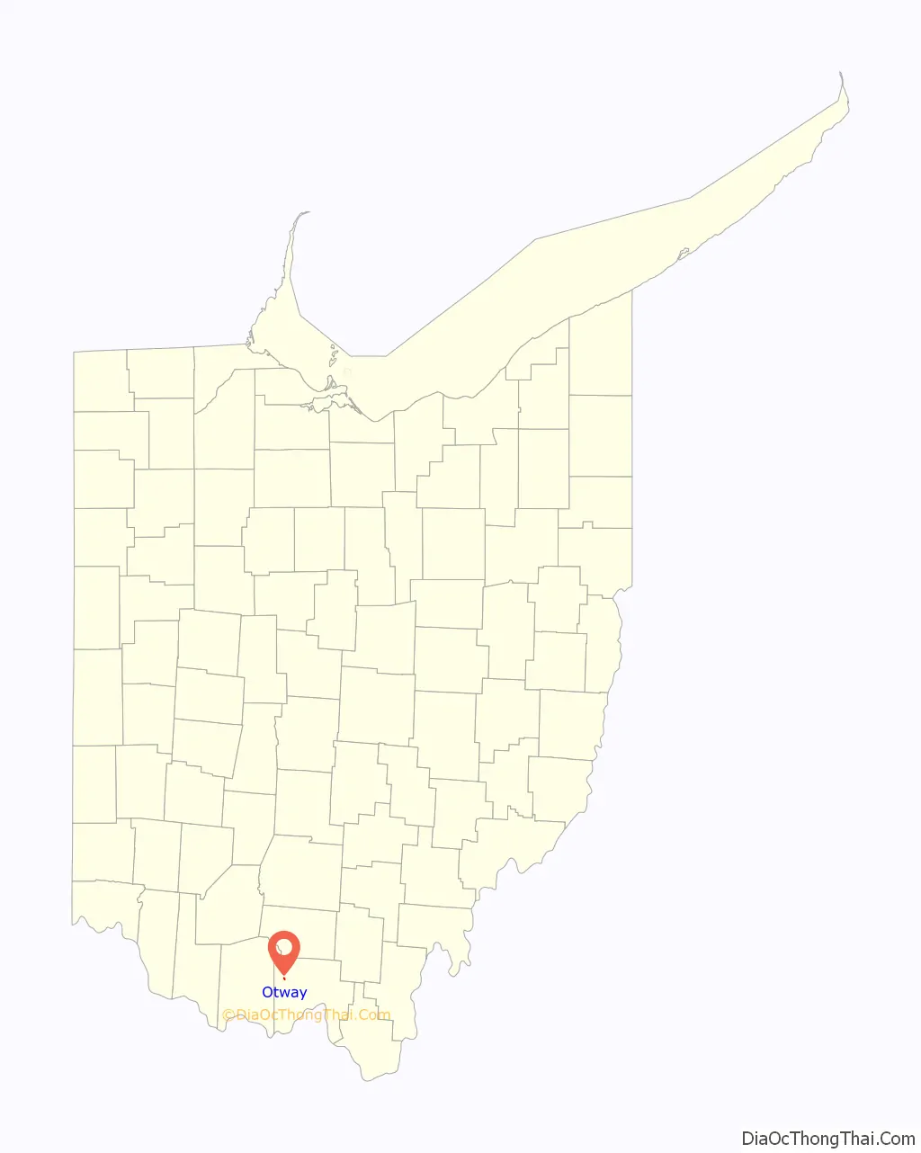
Otway location map. Where is Otway village?
History
A post office called Otway has been in operation since 1861. The town site was platted on March 29, 1884. The village was named after Thomas Otway, an English dramatist. Otway was incorporated in 1890.
Trains traveling from Portsmouth to Cincinnati would stop at the Norfolk & Western train depot located in Otway. In 1956, the depot was moved across the tracks and converted into a convenience store as roads were used more and more for travel instead of trains.
On March 2, 2012, a tornado with winds upwards of 75 mph, swept through southern Ohio. Otway’s fire department building, along with two houses, were damaged. Also damaged was one of Otway’s emergency response vehicles, but through a donation from the Uniopolis Fire Department, the vehicle was quickly replaced with a 1983 pumper tanker truck.
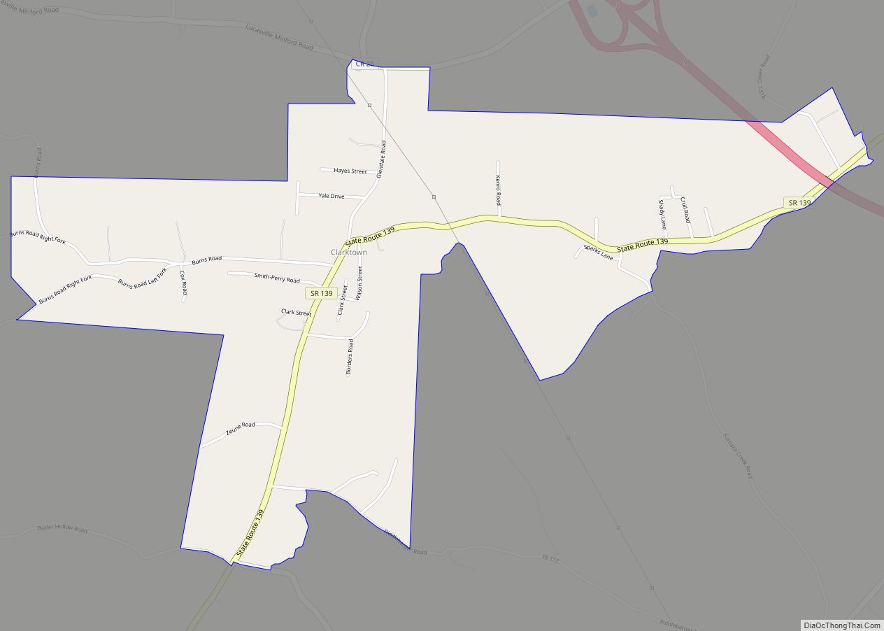
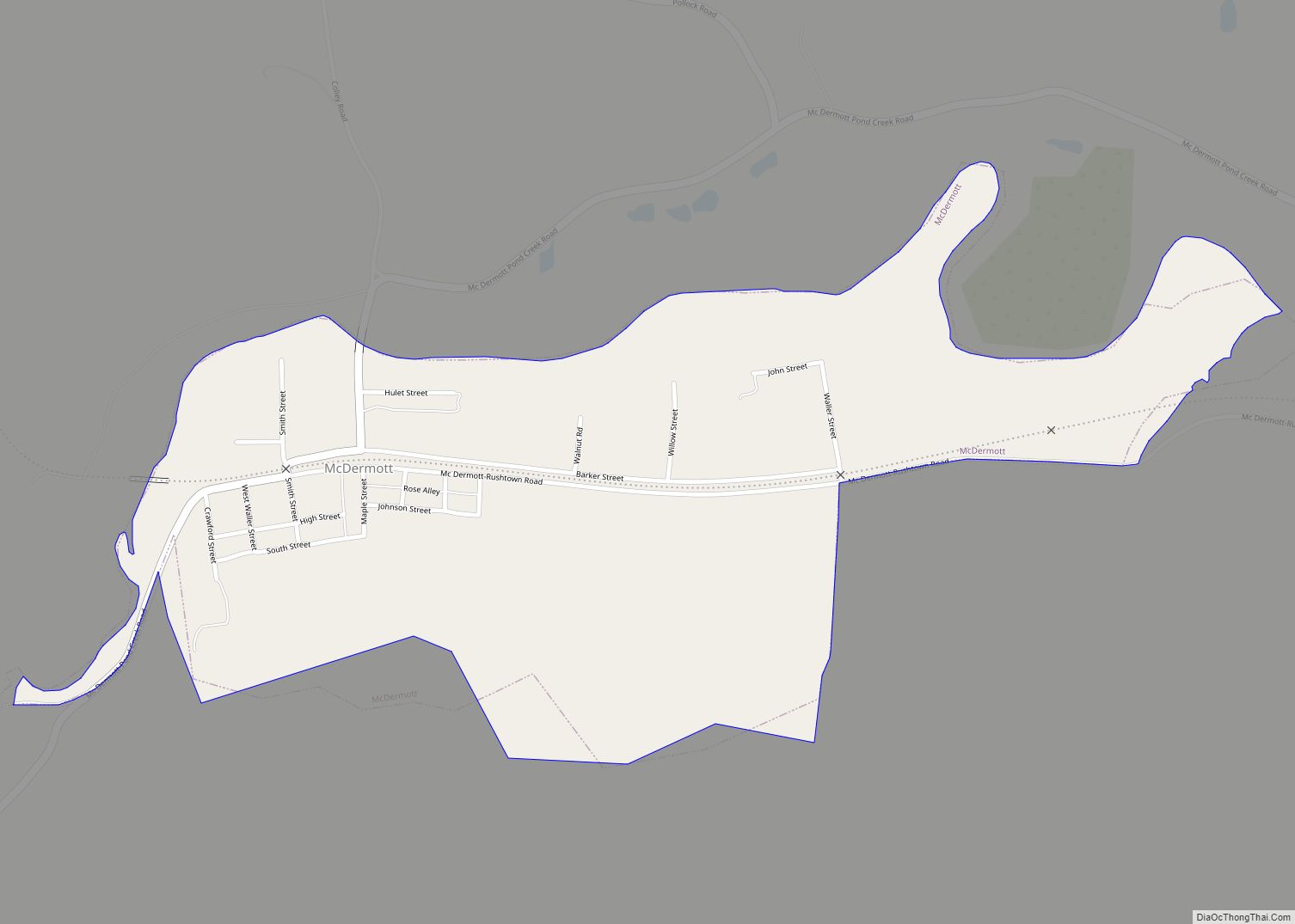
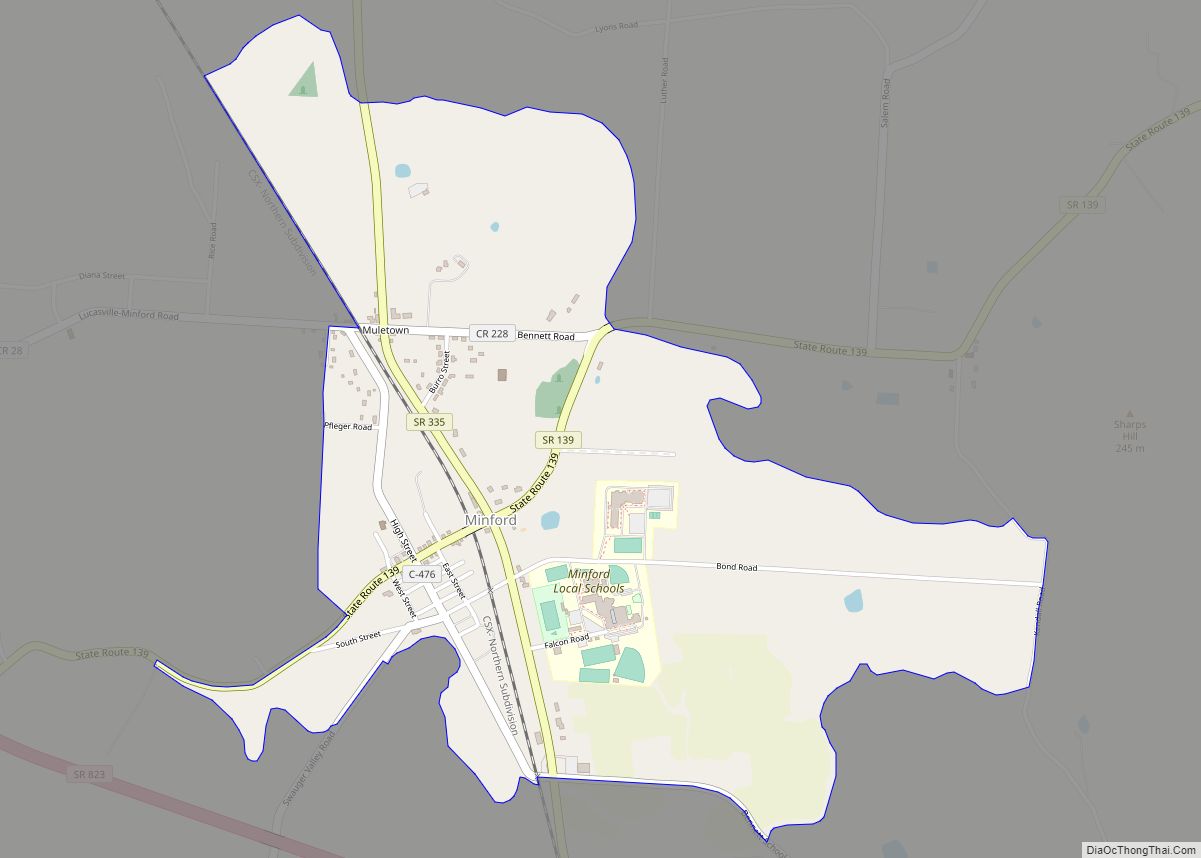
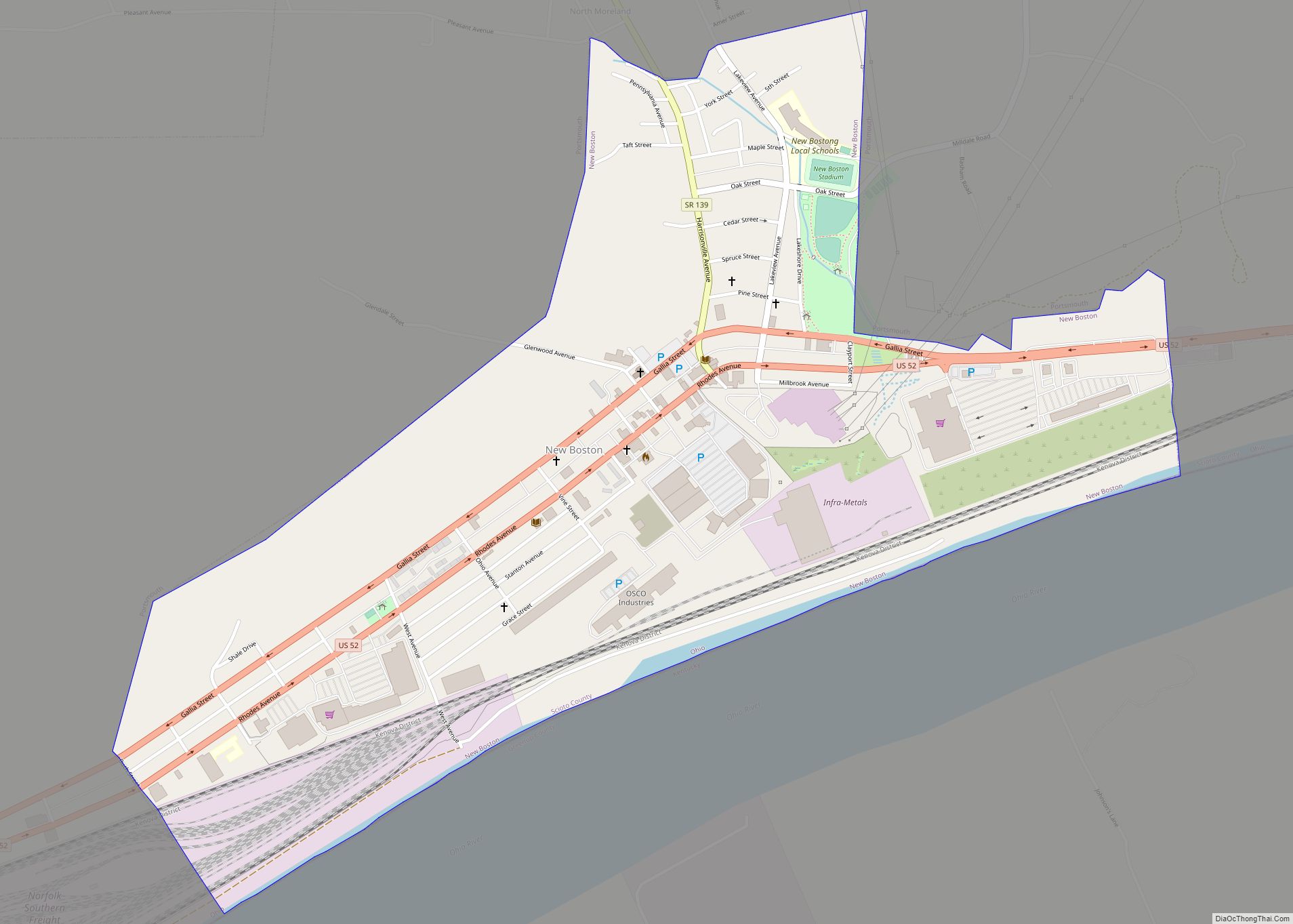
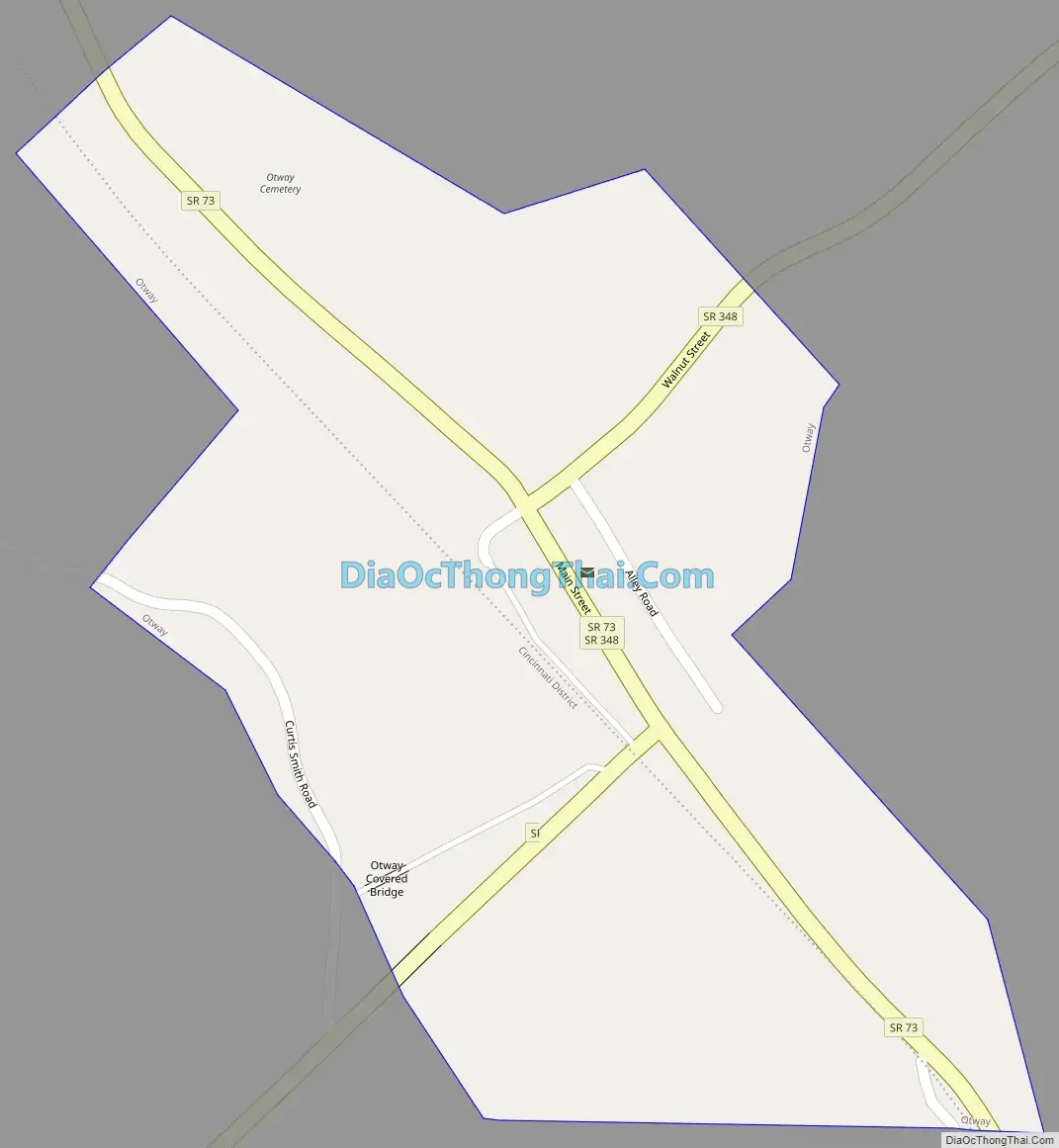
Otway Road Map
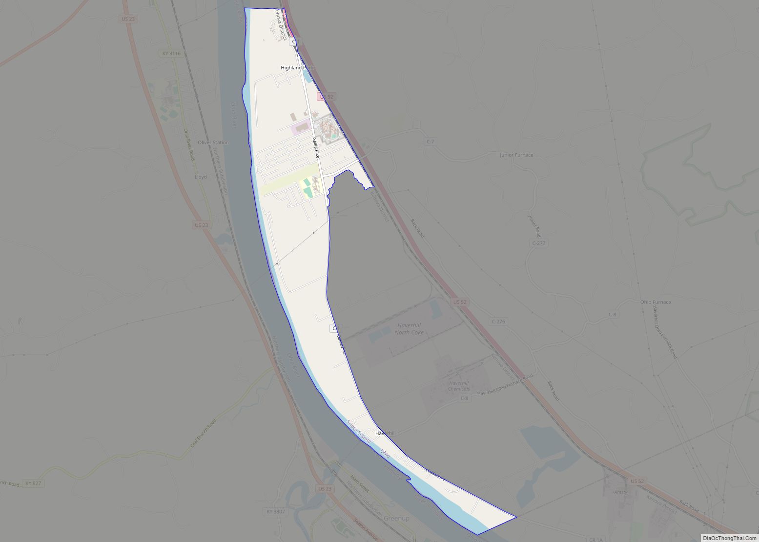
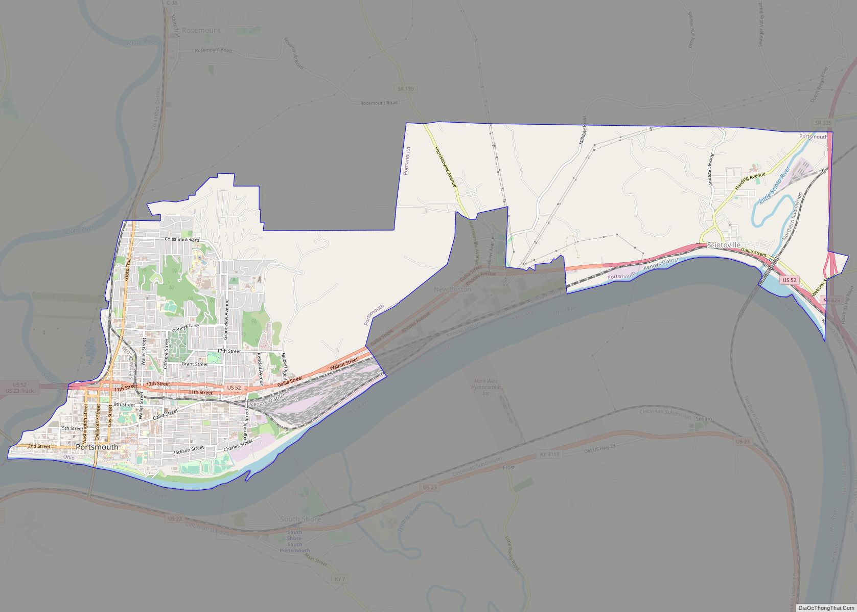
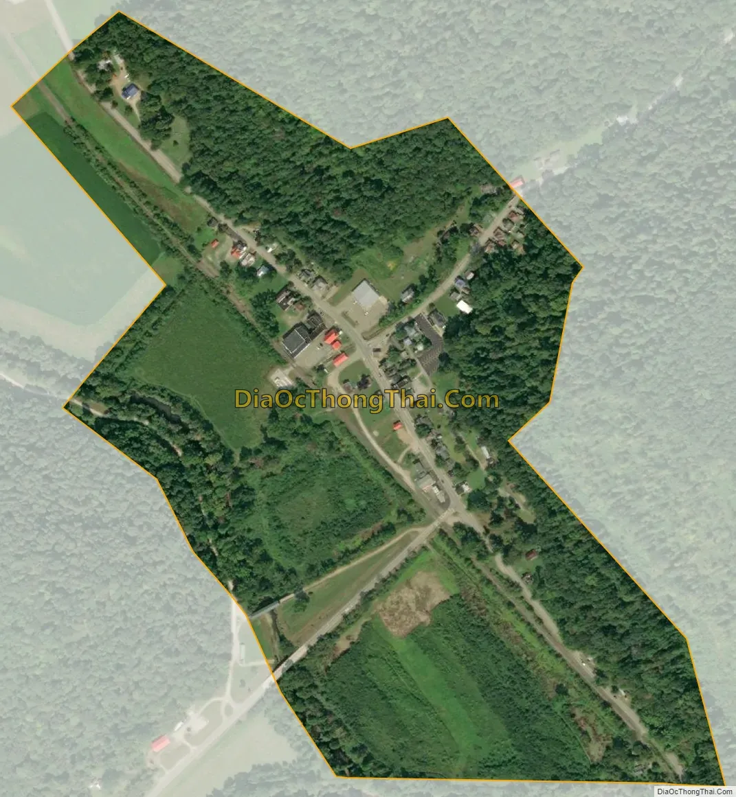
Otway city Satellite Map
Geography
Otway is located at 38°51′50″N 83°11′20″W / 38.86389°N 83.18889°W / 38.86389; -83.18889 (38.863899, -83.188860).
According to the United States Census Bureau, the village has a total area of 0.20 square miles (0.52 km), all land.
See also
Map of Ohio State and its subdivision:- Adams
- Allen
- Ashland
- Ashtabula
- Athens
- Auglaize
- Belmont
- Brown
- Butler
- Carroll
- Champaign
- Clark
- Clermont
- Clinton
- Columbiana
- Coshocton
- Crawford
- Cuyahoga
- Darke
- Defiance
- Delaware
- Erie
- Fairfield
- Fayette
- Franklin
- Fulton
- Gallia
- Geauga
- Greene
- Guernsey
- Hamilton
- Hancock
- Hardin
- Harrison
- Henry
- Highland
- Hocking
- Holmes
- Huron
- Jackson
- Jefferson
- Knox
- Lake
- Lake Erie
- Lawrence
- Licking
- Logan
- Lorain
- Lucas
- Madison
- Mahoning
- Marion
- Medina
- Meigs
- Mercer
- Miami
- Monroe
- Montgomery
- Morgan
- Morrow
- Muskingum
- Noble
- Ottawa
- Paulding
- Perry
- Pickaway
- Pike
- Portage
- Preble
- Putnam
- Richland
- Ross
- Sandusky
- Scioto
- Seneca
- Shelby
- Stark
- Summit
- Trumbull
- Tuscarawas
- Union
- Van Wert
- Vinton
- Warren
- Washington
- Wayne
- Williams
- Wood
- Wyandot
- Alabama
- Alaska
- Arizona
- Arkansas
- California
- Colorado
- Connecticut
- Delaware
- District of Columbia
- Florida
- Georgia
- Hawaii
- Idaho
- Illinois
- Indiana
- Iowa
- Kansas
- Kentucky
- Louisiana
- Maine
- Maryland
- Massachusetts
- Michigan
- Minnesota
- Mississippi
- Missouri
- Montana
- Nebraska
- Nevada
- New Hampshire
- New Jersey
- New Mexico
- New York
- North Carolina
- North Dakota
- Ohio
- Oklahoma
- Oregon
- Pennsylvania
- Rhode Island
- South Carolina
- South Dakota
- Tennessee
- Texas
- Utah
- Vermont
- Virginia
- Washington
- West Virginia
- Wisconsin
- Wyoming