Parma Heights is a city in Cuyahoga County, Ohio, United States and a western suburb of Cleveland. Parma Heights is surrounded on the north, east and south by the larger city of Parma. The cities of Brook Park and Middleburg Heights form most of the western border. The city’s population is 20,718 as of the 2010 census.
| Name: | Parma Heights city |
|---|---|
| LSAD Code: | 25 |
| LSAD Description: | city (suffix) |
| State: | Ohio |
| County: | Cuyahoga County |
| Elevation: | 856 ft (261 m) |
| Total Area: | 4.20 sq mi (10.87 km²) |
| Land Area: | 4.20 sq mi (10.87 km²) |
| Water Area: | 0.00 sq mi (0.00 km²) |
| Total Population: | 20,863 |
| Population Density: | 4,970.93/sq mi (1,919.47/km²) |
| ZIP code: | 44130 |
| FIPS code: | 3961028 |
| GNISfeature ID: | 1056914 |
| Website: | www.parmaheightsoh.gov |
Online Interactive Map
Click on ![]() to view map in "full screen" mode.
to view map in "full screen" mode.
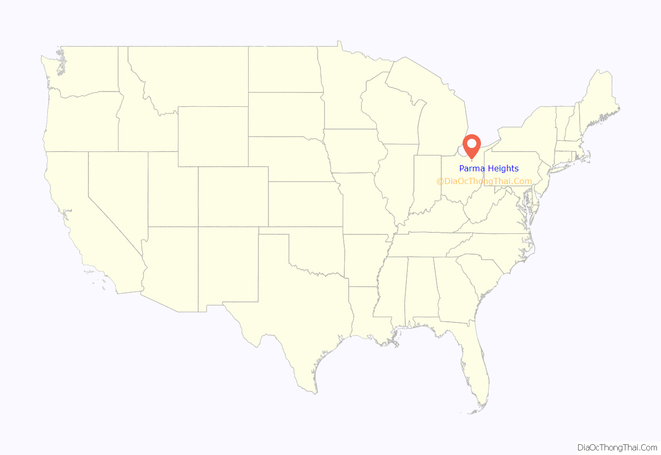
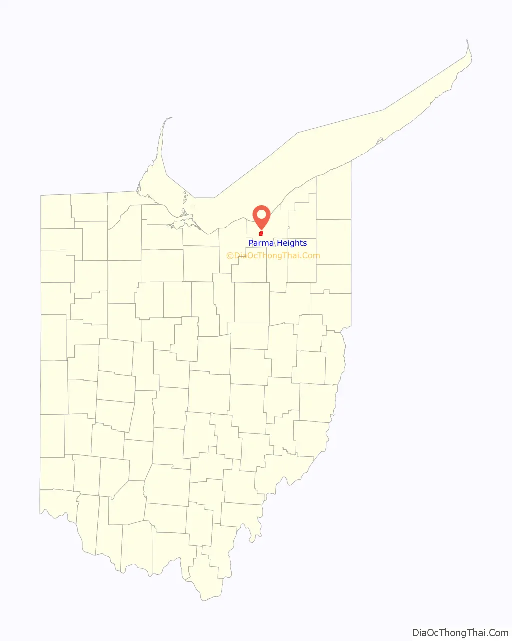
Parma Heights location map. Where is Parma Heights city?
History
“Greenbriar” (1806-1826)
In 1806, the area that was to become Parma and Parma Heights was originally surveyed by Abraham Tappan, a surveyor for the Connecticut Land Company, and was known as Township 6 – Range 13. This designation gave the town its first identity in the Western Reserve. Soon after, Township 6 – Range 13 was commonly referred to as “Greenbriar,” supposedly for the rambling bush that grew there. Benajah Fay, his wife Ruth Wilcox Fay, and their ten children, arrivals from Lewis County, New York, were the first settlers in 1816. The area of Greenbriar that was to later become Parma Heights was first settled in 1817. It was around that time that Greenbriar, under a newly organized government seat under Brooklyn Township, began attending to its own governmental needs.
Parma Township (1826-1911)
Self-government started to gain in popularity by the time the new Greenbriar settlement contained twenty householders. However, prior to the establishment of the new township, the name Greenbriar was replaced by the name Parma. This was largely due to Dr. David Long who had recently returned from Italy and “impressed with the grandeur and beauty…was reminded of Parma, Italy and…persuaded the early townspeople that the territory deserved a better name than Greenbriar.”
Thus, on March 7, 1826, a resolution was passed ordering the construction of the new township. It stated,
On the same day, a public notice was issued to qualified electors by the County Commissioners. They met at the house of Samuel Freeman on April 3, 1826 to elect township officers according to the law. It was then that the first eleven officers were elected to lead the new government.
During this time, Parma Township remained largely agricultural. The first schoolhouse was a log structure built on the hill at the northern corner of what is now Parma Heights Cemetery. A memorial plate on a stone marks the spot. In 1827, the township was divided into road districts. The Broadview Road of today was then known as Town Line Road as well as Independence Road. Ridge Road was known then as Center Road as it cut through the center of town. York Road was then known as York Street as arrivals from the state of New York settled there. Pearl Road then had many names which included Medina Wooster Pike, Wooster Pike, the Cleveland Columbus Road, and the Brighton and Parma Plank Road.
A stone house, known as the Henninger House, was built in 1849, occupied by several generations of Henningers, and is still standing today. More than 160 years ago, this house rested on one of the highest points in Cuyahoga County which provided visibility for the entire northeastern part of Parma Township. This was also the same site that the Erie Indians, centuries before, also stood to read and send fire signals as well as pray to their spirits.
By 1850, the US census listed Parma Township’s population at 1,329. However, the rising population of the township had slowed over the decades. The Civil War affected Parma much like it did other towns and villages in the nation. Three out of four homes sent father or sons, or sometimes both, to fight in the war. By 1910, the population of the township had increased to 1,631.
Village of Parma Heights (1911-1956)
In 1911, Parma Heights, due to the temperance mood of the day, separated itself from the Parma Township by a vote of 42 to 32 and was incorporated as a village comprising 4.13 square miles.
By 1920, census records show that Parma Heights contained 310 residents.
City of Parma Heights (1956-Present)
In December 1956, Parma Heights was incorporated as a city, under the administration of Roy F. Cappallo, Mayor.
On November 26, 2014, an early-morning fire destroyed the office of Mayor Mike Byrne and resulted in severe damage to city hall. Investigators determined the fire was intentionally set using a Molotov cocktail.
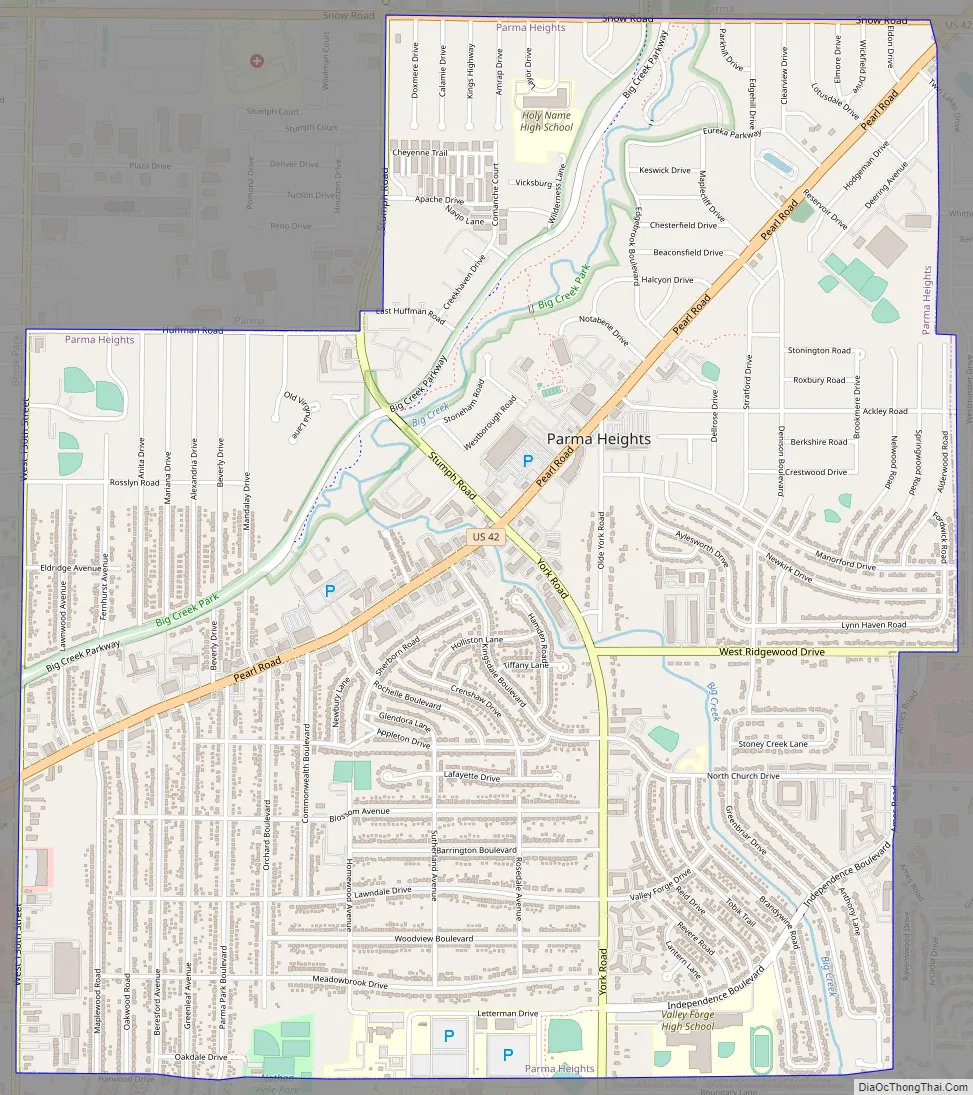
Parma Heights Road Map
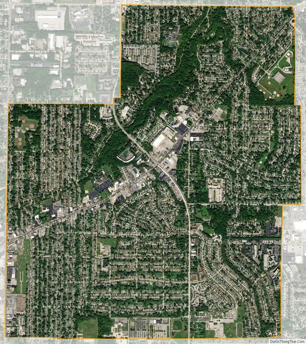
Parma Heights city Satellite Map
Geography
Parma Heights is located at 41°23′10″N 81°45′48″W / 41.38611°N 81.76333°W / 41.38611; -81.76333 (41.386051, -81.763459).
According to the United States Census Bureau, the city has a total area of 4.19 square miles (10.85 km), all land.
See also
Map of Ohio State and its subdivision:- Adams
- Allen
- Ashland
- Ashtabula
- Athens
- Auglaize
- Belmont
- Brown
- Butler
- Carroll
- Champaign
- Clark
- Clermont
- Clinton
- Columbiana
- Coshocton
- Crawford
- Cuyahoga
- Darke
- Defiance
- Delaware
- Erie
- Fairfield
- Fayette
- Franklin
- Fulton
- Gallia
- Geauga
- Greene
- Guernsey
- Hamilton
- Hancock
- Hardin
- Harrison
- Henry
- Highland
- Hocking
- Holmes
- Huron
- Jackson
- Jefferson
- Knox
- Lake
- Lake Erie
- Lawrence
- Licking
- Logan
- Lorain
- Lucas
- Madison
- Mahoning
- Marion
- Medina
- Meigs
- Mercer
- Miami
- Monroe
- Montgomery
- Morgan
- Morrow
- Muskingum
- Noble
- Ottawa
- Paulding
- Perry
- Pickaway
- Pike
- Portage
- Preble
- Putnam
- Richland
- Ross
- Sandusky
- Scioto
- Seneca
- Shelby
- Stark
- Summit
- Trumbull
- Tuscarawas
- Union
- Van Wert
- Vinton
- Warren
- Washington
- Wayne
- Williams
- Wood
- Wyandot
- Alabama
- Alaska
- Arizona
- Arkansas
- California
- Colorado
- Connecticut
- Delaware
- District of Columbia
- Florida
- Georgia
- Hawaii
- Idaho
- Illinois
- Indiana
- Iowa
- Kansas
- Kentucky
- Louisiana
- Maine
- Maryland
- Massachusetts
- Michigan
- Minnesota
- Mississippi
- Missouri
- Montana
- Nebraska
- Nevada
- New Hampshire
- New Jersey
- New Mexico
- New York
- North Carolina
- North Dakota
- Ohio
- Oklahoma
- Oregon
- Pennsylvania
- Rhode Island
- South Carolina
- South Dakota
- Tennessee
- Texas
- Utah
- Vermont
- Virginia
- Washington
- West Virginia
- Wisconsin
- Wyoming


