Rayland is a village in southern Jefferson County, Ohio, United States, along the Ohio River. The population was 389 at the 2020 census. It is part of the Weirton–Steubenville metropolitan area.
| Name: | Rayland village |
|---|---|
| LSAD Code: | 47 |
| LSAD Description: | village (suffix) |
| State: | Ohio |
| County: | Jefferson County |
| Elevation: | 679 ft (207 m) |
| Total Area: | 0.50 sq mi (1.29 km²) |
| Land Area: | 0.47 sq mi (1.22 km²) |
| Water Area: | 0.03 sq mi (0.07 km²) |
| Total Population: | 395 |
| Population Density: | 835.10/sq mi (322.68/km²) |
| ZIP code: | 43943 |
| Area code: | 740 |
| FIPS code: | 3965662 |
| GNISfeature ID: | 1049113 |
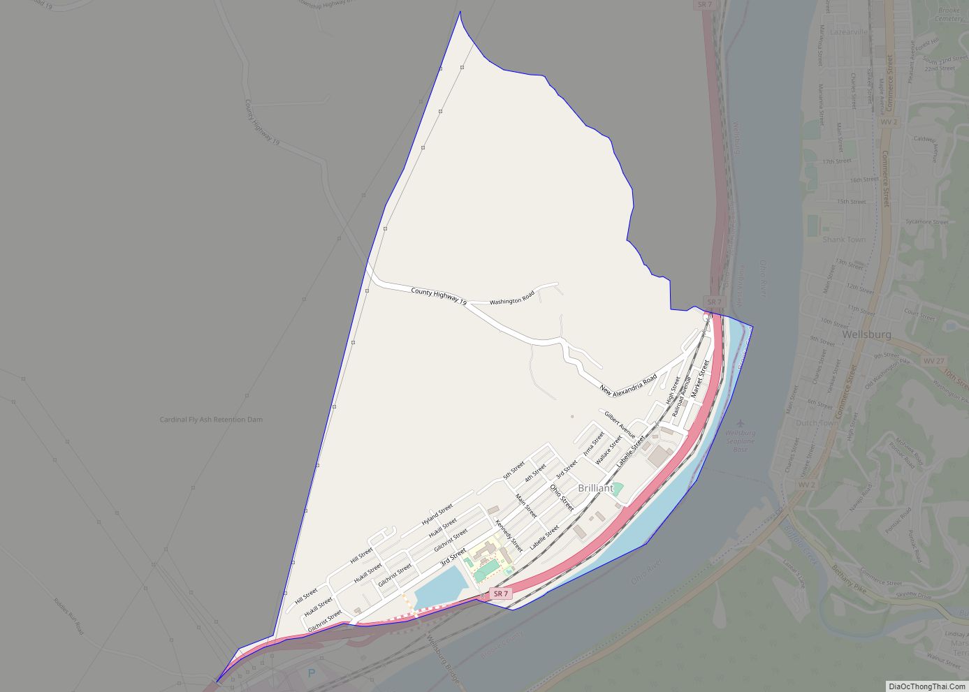
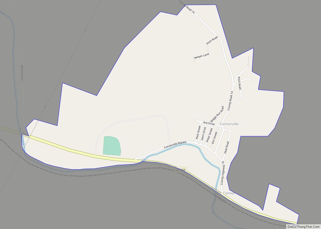
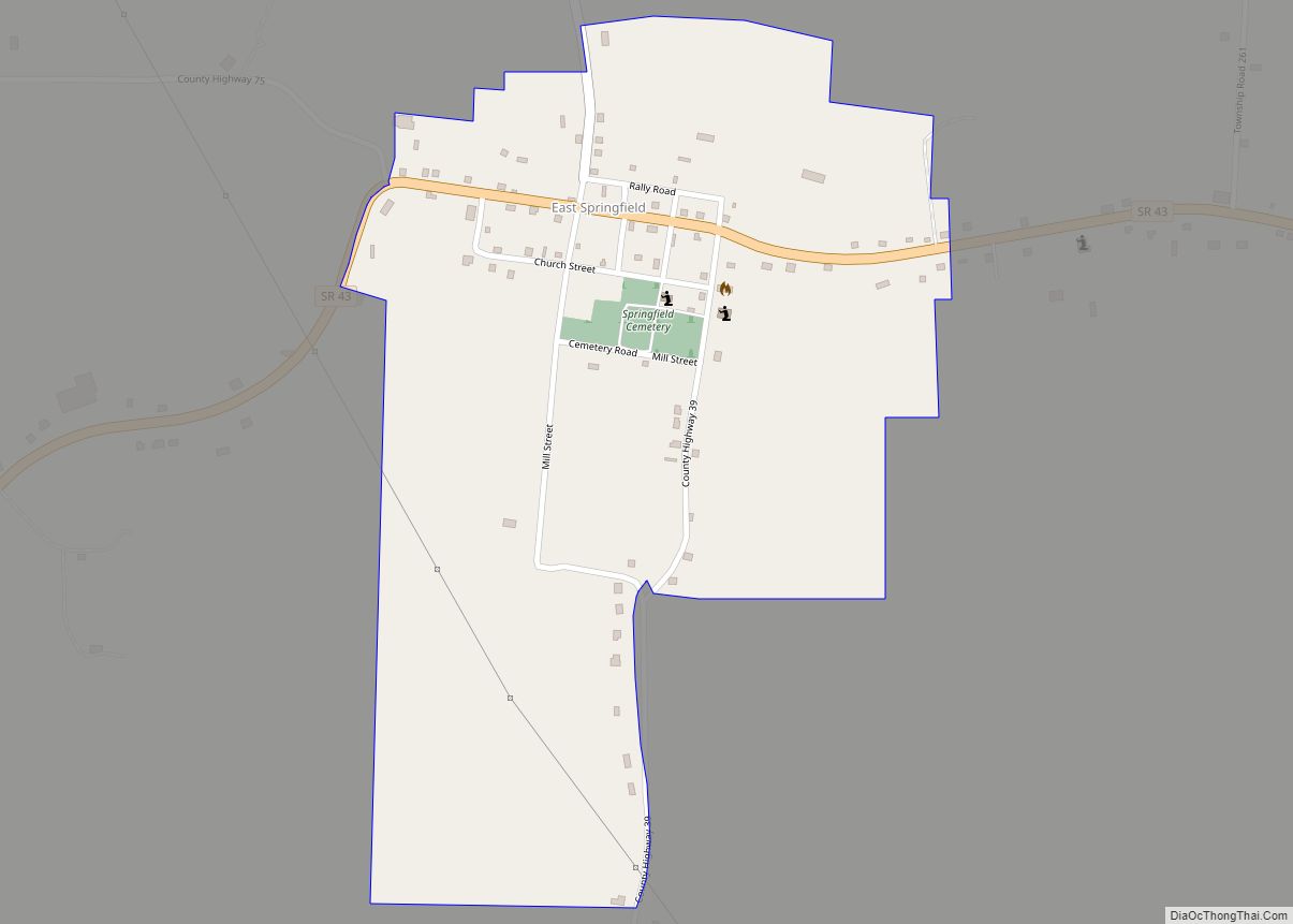
Online Interactive Map
Click on ![]() to view map in "full screen" mode.
to view map in "full screen" mode.
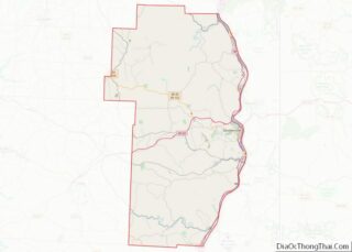
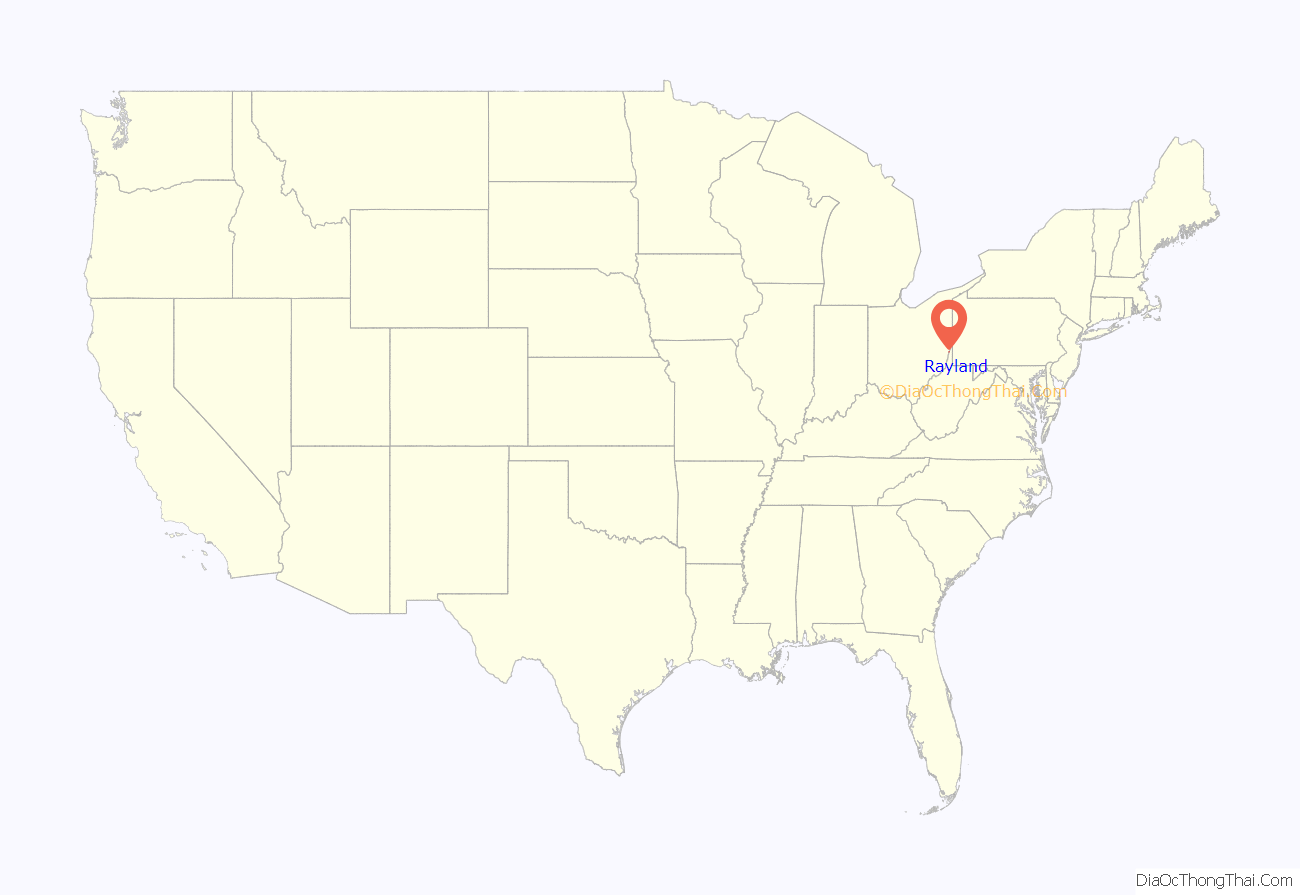
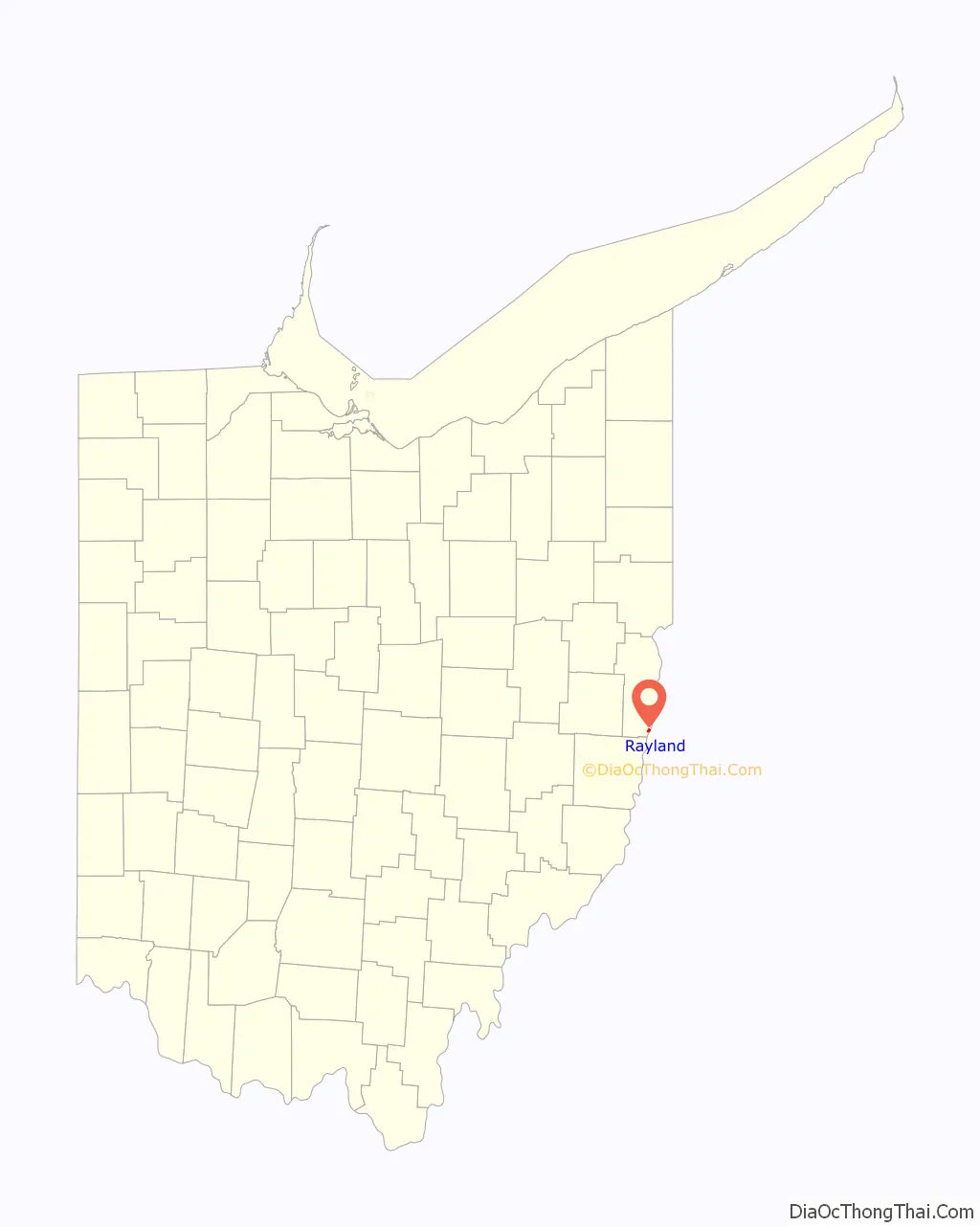
Rayland location map. Where is Rayland village?
History
Rayland was originally called Portland Station. A post office called Portland Station was established in 1871 giving the village its name. The village name was changed to Rayland in 1928. Rayland incorporated as a village in 1938. Rayland was once of the largest port towns on the river during its heyday as Portland Station.
The Stringer Stone House, also known as the John B. Bayless House, was a historic stone mansion located at 224 Warren Avenue in Rayland, Ohio. The house was added to the National Register of Historic Places on July 10, 1974. It was destroyed by fire in 1982. The house was built in 1836 by John Brown Bayless, an abolitionist from Maryland. The interior was decorated with murals by an Italian artist, including a waterfall beside the stairs, William Penn’s treaty with the Indians, a castle in England, and a gristmill and mill workers.[2] In 1860 it was purchased by Jefferson D. Stringer. Rutherford B. Hayes visited it in 1876, during his term as governor of Ohio.[3] Bayless constructed a three-and-a-half-story building out of gray sandstone. Much about the design was unusual: he placed the main entrances on the second story, the stone chimneys on each end consisted of attached pairs, and the house faced away from the road. The largest exception to the house’s almost complete stone construction was a small wooden porch surrounding the front entrance; it was accessed by a set of stone steps.
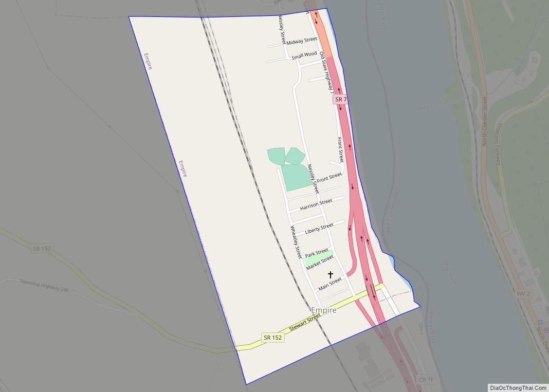
Rayland Road Map
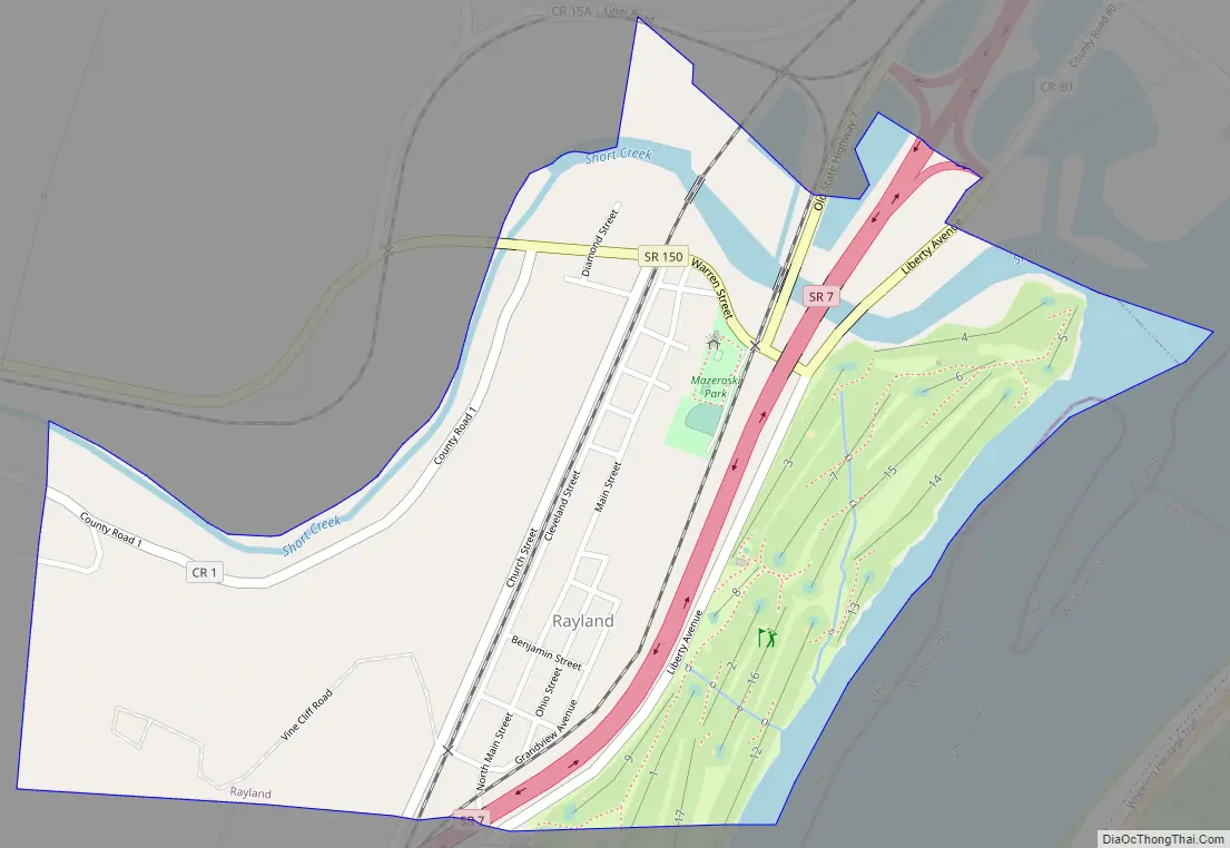
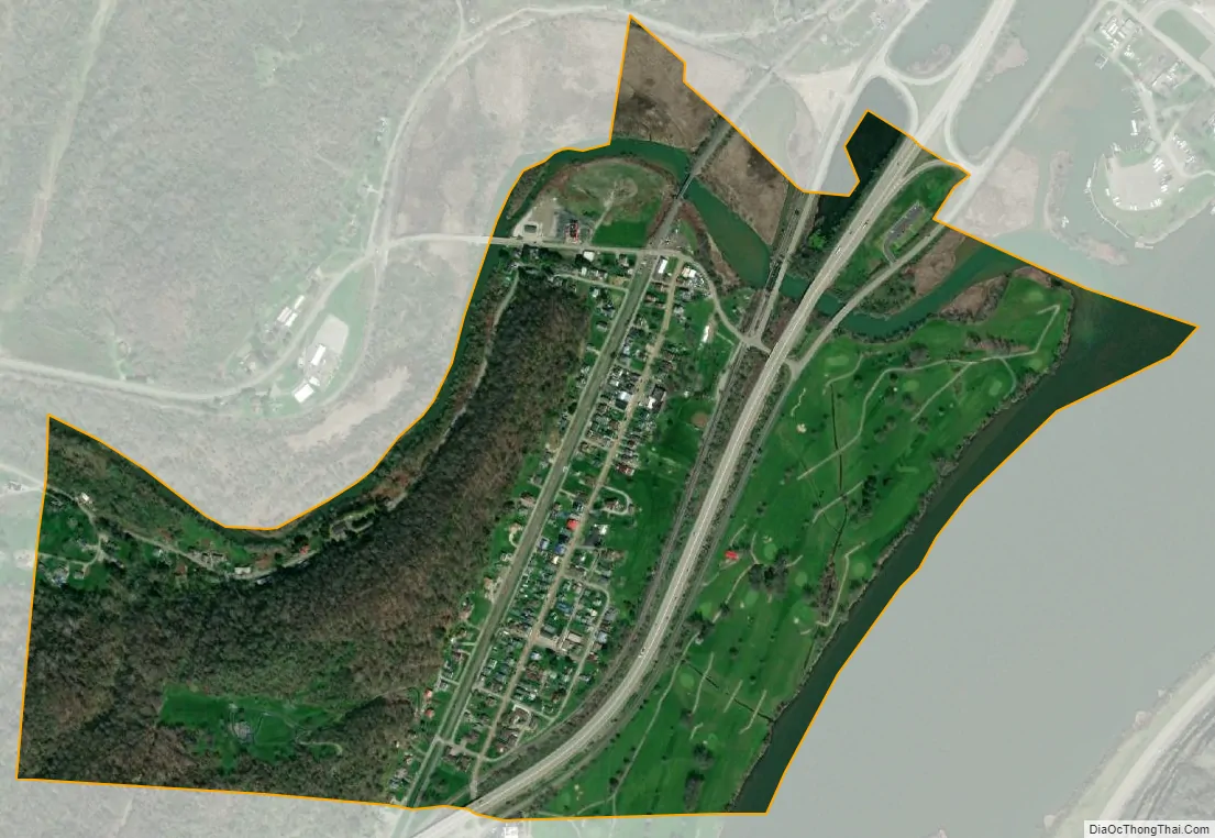
Rayland city Satellite Map
Geography
Rayland is located at 40°11′0″N 80°41′27″W / 40.18333°N 80.69083°W / 40.18333; -80.69083 (40.183277, -80.690971).
According to the United States Census Bureau, the village has a total area of 0.50 square miles (1.29 km), of which 0.47 square miles (1.22 km) is land and 0.03 square miles (0.08 km) is water.
See also
Map of Ohio State and its subdivision:- Adams
- Allen
- Ashland
- Ashtabula
- Athens
- Auglaize
- Belmont
- Brown
- Butler
- Carroll
- Champaign
- Clark
- Clermont
- Clinton
- Columbiana
- Coshocton
- Crawford
- Cuyahoga
- Darke
- Defiance
- Delaware
- Erie
- Fairfield
- Fayette
- Franklin
- Fulton
- Gallia
- Geauga
- Greene
- Guernsey
- Hamilton
- Hancock
- Hardin
- Harrison
- Henry
- Highland
- Hocking
- Holmes
- Huron
- Jackson
- Jefferson
- Knox
- Lake
- Lake Erie
- Lawrence
- Licking
- Logan
- Lorain
- Lucas
- Madison
- Mahoning
- Marion
- Medina
- Meigs
- Mercer
- Miami
- Monroe
- Montgomery
- Morgan
- Morrow
- Muskingum
- Noble
- Ottawa
- Paulding
- Perry
- Pickaway
- Pike
- Portage
- Preble
- Putnam
- Richland
- Ross
- Sandusky
- Scioto
- Seneca
- Shelby
- Stark
- Summit
- Trumbull
- Tuscarawas
- Union
- Van Wert
- Vinton
- Warren
- Washington
- Wayne
- Williams
- Wood
- Wyandot
- Alabama
- Alaska
- Arizona
- Arkansas
- California
- Colorado
- Connecticut
- Delaware
- District of Columbia
- Florida
- Georgia
- Hawaii
- Idaho
- Illinois
- Indiana
- Iowa
- Kansas
- Kentucky
- Louisiana
- Maine
- Maryland
- Massachusetts
- Michigan
- Minnesota
- Mississippi
- Missouri
- Montana
- Nebraska
- Nevada
- New Hampshire
- New Jersey
- New Mexico
- New York
- North Carolina
- North Dakota
- Ohio
- Oklahoma
- Oregon
- Pennsylvania
- Rhode Island
- South Carolina
- South Dakota
- Tennessee
- Texas
- Utah
- Vermont
- Virginia
- Washington
- West Virginia
- Wisconsin
- Wyoming