Reynoldsburg is a city in Fairfield, Franklin, and Licking counties in the U.S. state of Ohio. It is a suburban community in the Columbus, Ohio metropolitan area. The population was 41,076 at the 2020 census.
| Name: | Reynoldsburg city |
|---|---|
| LSAD Code: | 25 |
| LSAD Description: | city (suffix) |
| State: | Ohio |
| County: | Fairfield County, Franklin County, Licking County |
| Elevation: | 879 ft (268 m) |
| Total Area: | 11.41 sq mi (29.55 km²) |
| Land Area: | 11.33 sq mi (29.34 km²) |
| Water Area: | 0.08 sq mi (0.21 km²) |
| Total Population: | 41,076 |
| Population Density: | 3,626.06/sq mi (1,399.98/km²) |
| ZIP code: | 43068, 43069 |
| Area code: | 614 and 380 |
| FIPS code: | 3966390 |
| GNISfeature ID: | 1061597 |
| Website: | https://reynoldsburg.gov/ |
Online Interactive Map
Click on ![]() to view map in "full screen" mode.
to view map in "full screen" mode.
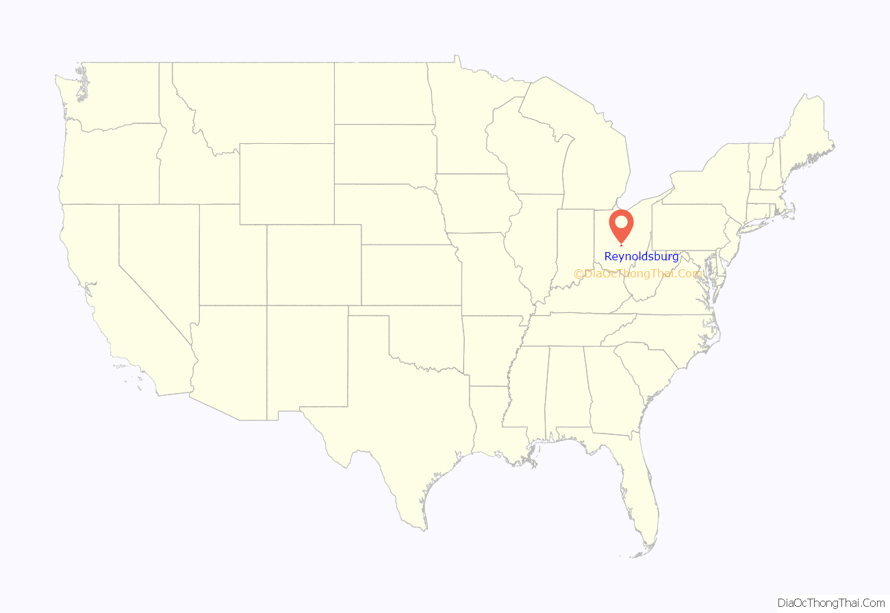
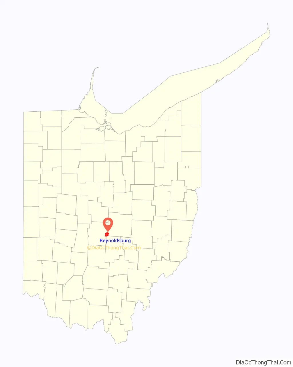
Reynoldsburg location map. Where is Reynoldsburg city?
History
Reynoldsburg was originally called Frenchtown, and under the latter name was platted in 1831 by John French, and named for him. The present name is for John C. Reynolds, a local merchant. A post office called Reynoldsburgh was established in 1833, and the name was changed to Reynoldsburg in 1893.
Reynoldsburg is known as “The Birthplace of the Tomato”, claiming the first commercial variety of tomato was bred there in the 19th century. and the Tomato Festival has been held every year since 1965. Every year there is a Tomato Festival Queen. The Tomato Festival takes place in August.
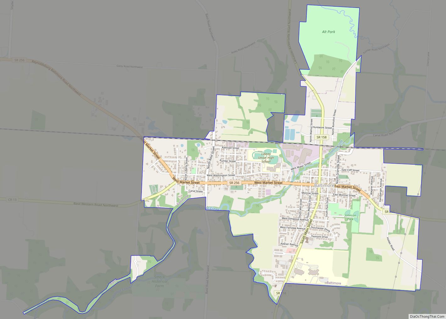
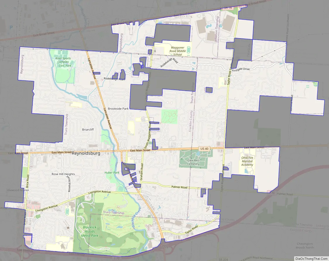
Reynoldsburg Road Map
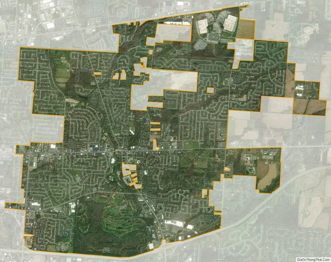
Reynoldsburg city Satellite Map
Geography
According to the United States Census Bureau, the city has a total area of 11.24 square miles (29.11 km), of which 11.16 square miles (28.90 km) is land and 0.08 square miles (0.21 km) is water. Blacklick Creek flows through Reynoldsburg.
See also
Map of Ohio State and its subdivision:- Adams
- Allen
- Ashland
- Ashtabula
- Athens
- Auglaize
- Belmont
- Brown
- Butler
- Carroll
- Champaign
- Clark
- Clermont
- Clinton
- Columbiana
- Coshocton
- Crawford
- Cuyahoga
- Darke
- Defiance
- Delaware
- Erie
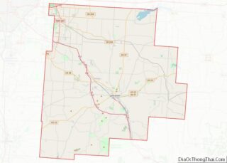
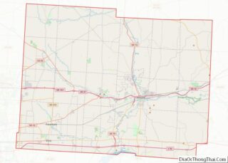
- Fairfield
- Fayette
- Franklin
- Fulton
- Gallia
- Geauga
- Greene
- Guernsey
- Hamilton
- Hancock
- Hardin
- Harrison
- Henry
- Highland
- Hocking
- Holmes
- Huron
- Jackson
- Jefferson
- Knox
- Lake
- Lake Erie
- Lawrence
- Licking
- Logan
- Lorain
- Lucas
- Madison
- Mahoning
- Marion
- Medina
- Meigs
- Mercer
- Miami
- Monroe
- Montgomery
- Morgan
- Morrow
- Muskingum
- Noble
- Ottawa
- Paulding
- Perry
- Pickaway
- Pike
- Portage
- Preble
- Putnam
- Richland
- Ross
- Sandusky
- Scioto
- Seneca
- Shelby
- Stark
- Summit
- Trumbull
- Tuscarawas
- Union
- Van Wert
- Vinton
- Warren
- Washington
- Wayne
- Williams
- Wood
- Wyandot
- Alabama
- Alaska
- Arizona
- Arkansas
- California
- Colorado
- Connecticut
- Delaware
- District of Columbia
- Florida
- Georgia
- Hawaii
- Idaho
- Illinois
- Indiana
- Iowa
- Kansas
- Kentucky
- Louisiana
- Maine
- Maryland
- Massachusetts
- Michigan
- Minnesota
- Mississippi
- Missouri
- Montana
- Nebraska
- Nevada
- New Hampshire
- New Jersey
- New Mexico
- New York
- North Carolina
- North Dakota
- Ohio
- Oklahoma
- Oregon
- Pennsylvania
- Rhode Island
- South Carolina
- South Dakota
- Tennessee
- Texas
- Utah
- Vermont
- Virginia
- Washington
- West Virginia
- Wisconsin
- Wyoming