Rocky River is a city in western Cuyahoga County, Ohio, United States. A suburb of Cleveland, it is located along the shore of Lake Erie approximately 9 miles (14 km) west of downtown Cleveland. The city is named for the Rocky River that forms its eastern border. The population was 21,755 according to the 2020 census data results.
| Name: | Rocky River city |
|---|---|
| LSAD Code: | 25 |
| LSAD Description: | city (suffix) |
| State: | Ohio |
| County: | Cuyahoga County |
| Elevation: | 692 ft (211 m) |
| Total Area: | 5.60 sq mi (14.51 km²) |
| Land Area: | 4.73 sq mi (12.25 km²) |
| Water Area: | 0.87 sq mi (2.26 km²) 15.51% |
| Total Population: | 21,755 |
| Population Density: | 4,599.37/sq mi (1,775.98/km²) |
| Area code: | 440 |
| FIPS code: | 3968056 |
| GNISfeature ID: | 1049132 |
| Website: | www.rrcity.com |
Online Interactive Map
Click on ![]() to view map in "full screen" mode.
to view map in "full screen" mode.
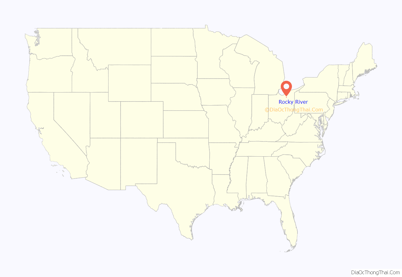
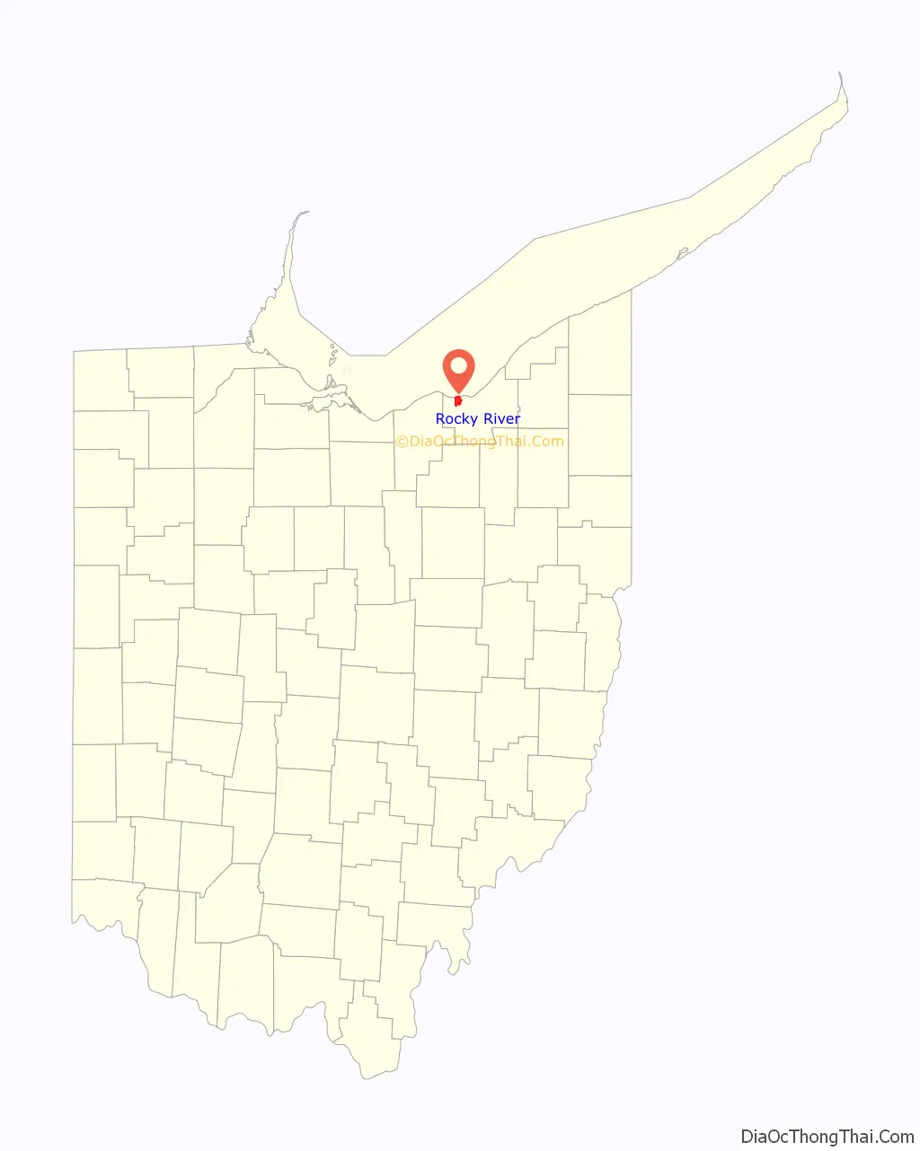
Rocky River location map. Where is Rocky River city?
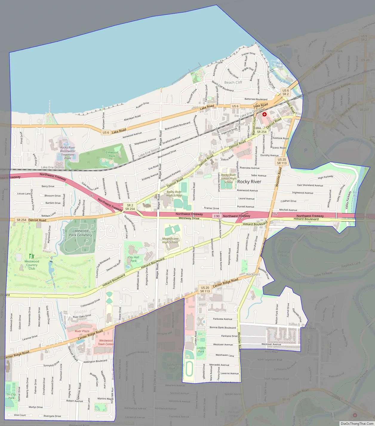
Rocky River Road Map
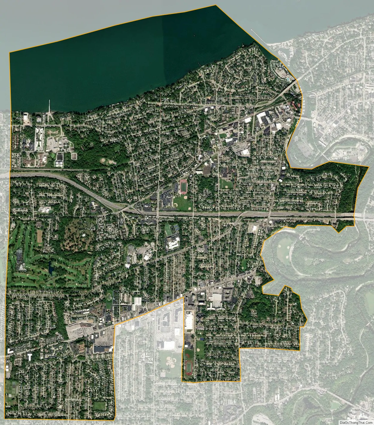
Rocky River city Satellite Map
Geography
According to the United States Census Bureau, the city has a total area of 5.61 square miles (14.53 km), of which 4.74 square miles (12.28 km) is land and 0.87 square miles (2.25 km) is water.
Most of Rocky River’s eastern border follows the river bearing its name, which runs through the Rocky River Reservation of the Cleveland Metroparks system, adjacent to the city’s eastern neighbor, Lakewood. A small strip of Cleveland itself also borders Rocky River; however, the two cities are not directly connected via road. Lake Erie lines the entire northern border of the city while the city of Fairview Park marks the southern border. On Rocky River’s western border are the cities of Bay Village to the northwest and Westlake to the southwest.
See also
Map of Ohio State and its subdivision:- Adams
- Allen
- Ashland
- Ashtabula
- Athens
- Auglaize
- Belmont
- Brown
- Butler
- Carroll
- Champaign
- Clark
- Clermont
- Clinton
- Columbiana
- Coshocton
- Crawford
- Cuyahoga
- Darke
- Defiance
- Delaware
- Erie
- Fairfield
- Fayette
- Franklin
- Fulton
- Gallia
- Geauga
- Greene
- Guernsey
- Hamilton
- Hancock
- Hardin
- Harrison
- Henry
- Highland
- Hocking
- Holmes
- Huron
- Jackson
- Jefferson
- Knox
- Lake
- Lake Erie
- Lawrence
- Licking
- Logan
- Lorain
- Lucas
- Madison
- Mahoning
- Marion
- Medina
- Meigs
- Mercer
- Miami
- Monroe
- Montgomery
- Morgan
- Morrow
- Muskingum
- Noble
- Ottawa
- Paulding
- Perry
- Pickaway
- Pike
- Portage
- Preble
- Putnam
- Richland
- Ross
- Sandusky
- Scioto
- Seneca
- Shelby
- Stark
- Summit
- Trumbull
- Tuscarawas
- Union
- Van Wert
- Vinton
- Warren
- Washington
- Wayne
- Williams
- Wood
- Wyandot
- Alabama
- Alaska
- Arizona
- Arkansas
- California
- Colorado
- Connecticut
- Delaware
- District of Columbia
- Florida
- Georgia
- Hawaii
- Idaho
- Illinois
- Indiana
- Iowa
- Kansas
- Kentucky
- Louisiana
- Maine
- Maryland
- Massachusetts
- Michigan
- Minnesota
- Mississippi
- Missouri
- Montana
- Nebraska
- Nevada
- New Hampshire
- New Jersey
- New Mexico
- New York
- North Carolina
- North Dakota
- Ohio
- Oklahoma
- Oregon
- Pennsylvania
- Rhode Island
- South Carolina
- South Dakota
- Tennessee
- Texas
- Utah
- Vermont
- Virginia
- Washington
- West Virginia
- Wisconsin
- Wyoming


