Roseville is a village in Muskingum and Perry counties in the U.S. state of Ohio, along Moxahala Creek. The population was 1,746 at the 2020 census. It is part of the Zanesville micropolitan area. Roseville is served by a branch of the Muskingum County Library System.
| Name: | Roseville village |
|---|---|
| LSAD Code: | 47 |
| LSAD Description: | village (suffix) |
| State: | Ohio |
| County: | Muskingum County, Perry County |
| Elevation: | 732 ft (223 m) |
| Total Area: | 0.69 sq mi (1.79 km²) |
| Land Area: | 0.69 sq mi (1.78 km²) |
| Water Area: | 0.01 sq mi (0.01 km²) |
| Total Population: | 1,746 |
| Population Density: | 2,541.48/sq mi (980.62/km²) |
| ZIP code: | 43777 |
| Area code: | 740 |
| FIPS code: | 3968560 |
| GNISfeature ID: | 1065247 |
Online Interactive Map
Click on ![]() to view map in "full screen" mode.
to view map in "full screen" mode.
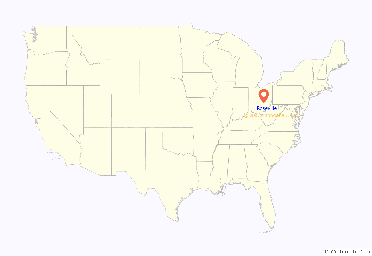
Roseville location map. Where is Roseville village?
History
Roseville was laid out in 1812 by Ezekiel Rose. It was initially named New Milford, but the name had been changed to Roseville by the time a post office was applied for in 1830. By 1833, Roseville had a gristmill and saw mill. Roseville was incorporated in 1840, with Dr. James Little elected as the first mayor.
The Roseville area was noted for its pottery production. The Roseville Pottery Company operated from around 1890 to 1954, and was a premiere producer of art pottery in the early 20th century. The Ransbottom Pottery Company was founded in Roseville in 1900, and later merged with Robinson Clay Products Company to become Robinson-Ransbottom Pottery Company; Robinson-Ransbottom ceased operations in 2005. The Ohio Ceramic Center, a pottery museum, is located just south of Roseville along State Route 93.
Roseville Road Map
Roseville city Satellite Map
Geography
Roseville is located at 39°48′21″N 82°4′32″W / 39.80583°N 82.07556°W / 39.80583; -82.07556 (39.805708, -82.075592).
According to the United States Census Bureau, the village has a total area of 0.71 square miles (1.84 km), of which 0.70 square miles (1.81 km) is land and 0.01 square miles (0.03 km) is water.
See also
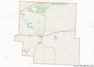
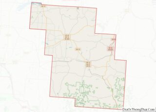
Map of Ohio State and its subdivision:- Adams
- Allen
- Ashland
- Ashtabula
- Athens
- Auglaize
- Belmont
- Brown
- Butler
- Carroll
- Champaign
- Clark
- Clermont
- Clinton
- Columbiana
- Coshocton
- Crawford
- Cuyahoga
- Darke
- Defiance
- Delaware
- Erie
- Fairfield
- Fayette
- Franklin
- Fulton
- Gallia
- Geauga
- Greene
- Guernsey
- Hamilton
- Hancock
- Hardin
- Harrison
- Henry
- Highland
- Hocking
- Holmes
- Huron
- Jackson
- Jefferson
- Knox
- Lake
- Lake Erie
- Lawrence
- Licking
- Logan
- Lorain
- Lucas
- Madison
- Mahoning
- Marion
- Medina
- Meigs
- Mercer
- Miami
- Monroe
- Montgomery
- Morgan
- Morrow
- Muskingum
- Noble
- Ottawa
- Paulding
- Perry
- Pickaway
- Pike
- Portage
- Preble
- Putnam
- Richland
- Ross
- Sandusky
- Scioto
- Seneca
- Shelby
- Stark
- Summit
- Trumbull
- Tuscarawas
- Union
- Van Wert
- Vinton
- Warren
- Washington
- Wayne
- Williams
- Wood
- Wyandot
- Alabama
- Alaska
- Arizona
- Arkansas
- California
- Colorado
- Connecticut
- Delaware
- District of Columbia
- Florida
- Georgia
- Hawaii
- Idaho
- Illinois
- Indiana
- Iowa
- Kansas
- Kentucky
- Louisiana
- Maine
- Maryland
- Massachusetts
- Michigan
- Minnesota
- Mississippi
- Missouri
- Montana
- Nebraska
- Nevada
- New Hampshire
- New Jersey
- New Mexico
- New York
- North Carolina
- North Dakota
- Ohio
- Oklahoma
- Oregon
- Pennsylvania
- Rhode Island
- South Carolina
- South Dakota
- Tennessee
- Texas
- Utah
- Vermont
- Virginia
- Washington
- West Virginia
- Wisconsin
- Wyoming
