Shaker Heights is a city in Cuyahoga County, Ohio, United States. As of the 2020 census, the city’s population was 29,439. Shaker Heights is an inner-ring streetcar suburb of Cleveland, abutting the eastern edge of the city’s limits. Shaker Heights was a planned community developed by the Van Sweringen brothers, railroad moguls who envisioned the community as a suburban retreat from the industrial inner city of Cleveland.
In July 1911, a petition by property owners was successful in detaching a long strip of land from the south of Cleveland Heights, to be named Shaker Village. In November 1911, the voters of Shaker Village formed Shaker Heights Village, which was incorporated in January 1912.
| Name: | Shaker Heights city |
|---|---|
| LSAD Code: | 25 |
| LSAD Description: | city (suffix) |
| State: | Ohio |
| County: | Cuyahoga County |
| Incorporated: | 1912 |
| Elevation: | 1,050 ft (320 m) |
| Total Area: | 6.33 sq mi (16.40 km²) |
| Land Area: | 6.29 sq mi (16.29 km²) |
| Water Area: | 0.04 sq mi (0.11 km²) |
| Total Population: | 29,439 |
| Population Density: | 4,679.54/sq mi (1,806.68/km²) |
| ZIP code: | 44118, 44120, 44122 |
| Area code: | 216 |
| FIPS code: | 3971682 |
| GNISfeature ID: | 1065308 |
| Website: | www.shakeronline.com |
Online Interactive Map
Click on ![]() to view map in "full screen" mode.
to view map in "full screen" mode.
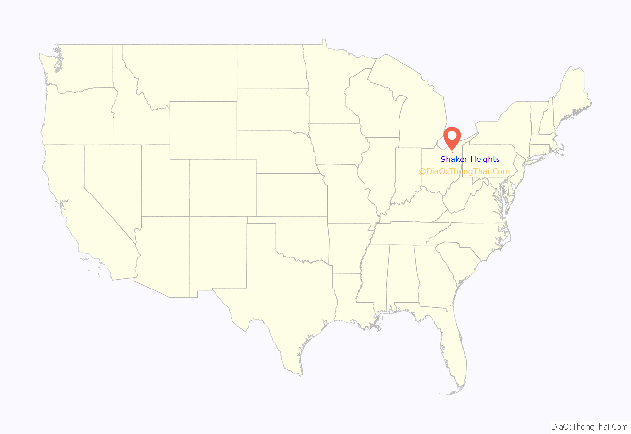
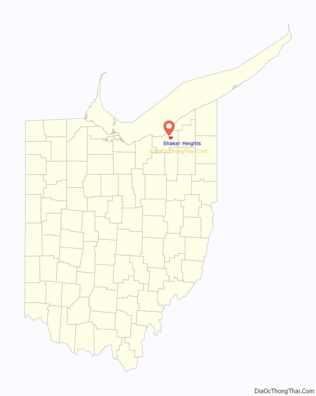
Shaker Heights location map. Where is Shaker Heights city?
History
Shaker Heights was established in 1909, and incorporated as a village in 1912. Shaker Heights is home to the oldest house in Cuyahoga County, built in 1817 by Moses Warren. The name “Shaker Heights” has origins in two local sources. The community was laid out on land formerly owned by the North Union Community of the United Society of Believers in Christ’s Second Appearing, more commonly known as Shakers. “Heights” refers to the plateau east of Cleveland that rises sharply in elevation from 582 feet above sea level at the base of the Cedar Glen Parkway rising to 950 feet above sea level in nearby Cleveland Heights; Shaker Heights’ elevation is 1050 feet above sea level.
Ralph Russell established the North Union Shaker Settlement in 1822 with just over 80 individuals. Between 1826 and 1854, the group dammed Doan Brook, which made Upper and Lower Lake, and established three grist and a sawmills. The colony peaked around 1850 with about 300 settlers, faded away and was closed in 1889.
In 1905, the land was bought by brothers M.J. and O.P. Van Sweringen who envisioned the first garden styled suburb in Ohio for the site. The brothers constructed homes, set aside land for churches and schools, and planted trees. Originally referred to as Shaker Village, the community was incorporated in 1912 and reached city status in 1931.
Shaker Heights is known for its stringent building codes and zoning laws, which have helped to maintain the community’s housing stock and identity throughout the years. Approximately seventy-five percent of the city of Shaker Heights is listed on the National Register of Historic Places as the Shaker Village Historic District.
Efforts toward integration began in the late 1950s with neighbors in the Ludlow Elementary School area working together to make integration successful. As a result, Shaker Heights avoided many of the problems created from practices such as blockbusting and white flight. In 1986, the city began a Fund for the Future of Shaker Heights, offering loans for down payments for residents buying homes in segregated neighborhoods, creating multi-ethnic neighborhoods. Today, the city maintains a housing assistance office that works with home buyers to achieve and maintain neighborhood integration.
Shaker Heights was a finalist for the All-America City Award in 1989.
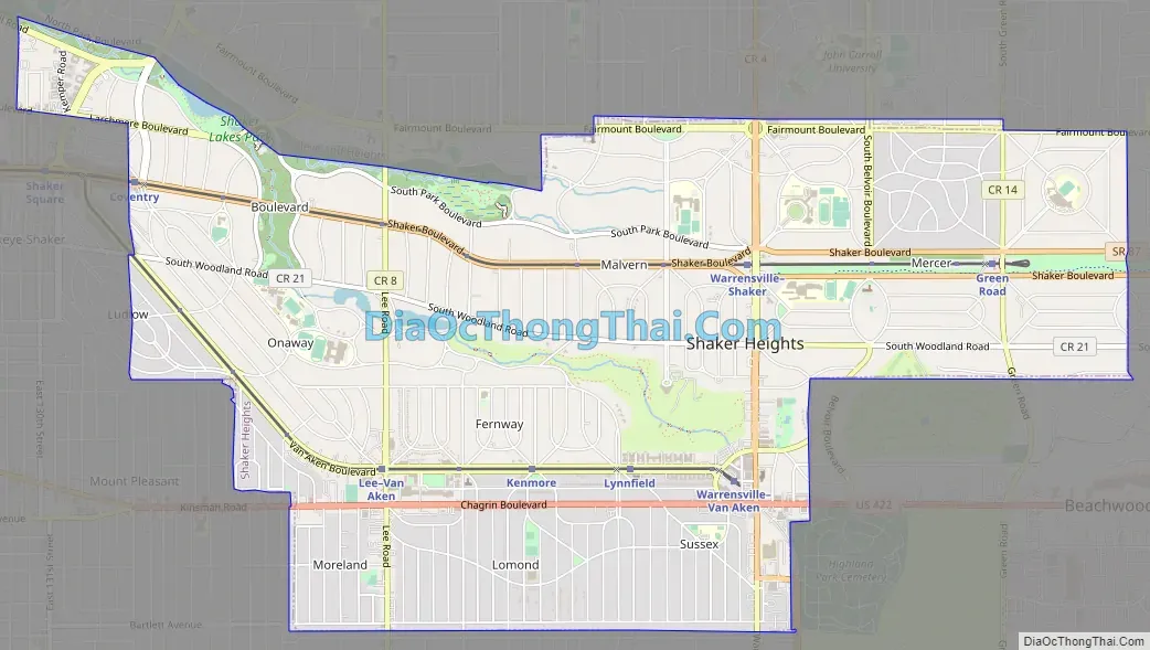
Shaker Heights Road Map
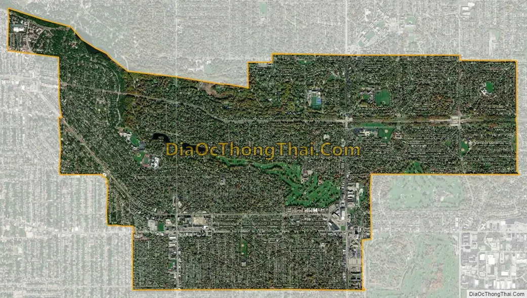
Shaker Heights city Satellite Map
Geography
Shaker Heights is located at 41°28′35″N 81°33′6″W / 41.47639°N 81.55167°W / 41.47639; -81.55167Coordinates: 41°28′35″N 81°33′6″W / 41.47639°N 81.55167°W / 41.47639; -81.55167. According to the United States Census Bureau, the city has a total area of 6.32 square miles (16.37 km), of which 6.28 square miles (16.27 km) is land and 0.04 square miles (0.10 km) is water.
Shaker Heights is roughly 1,050 feet (320 m) above sea level, and is located about 6 miles (10 km) inland from Lake Erie. Shaker Heights is drained by the Doan Brook watershed, and has several small artificial lakes: Horseshoe Lake, Green Lake, Lower Shaker Lake, and Marshall Lake. Horseshoe Lake and Lower Shaker Lake had been dammed by the Shakers, while developers added Green Lake and Marshall Lake, the latter named after drugstore chain owner W. A. Marshall, at a later point.
Shaker Heights is one of Greater Cleveland’s older inner-ring or “first” suburbs, and borders Cleveland, Cleveland Heights, University Heights, Beachwood, Highland Hills, and Warrensville Heights. Shaker Heights is a member of the Northeast Ohio First Suburbs Consortium.
Neighborhoods
There are nine neighborhoods in Shaker Heights, all of which were named after the nine original elementary schools. These neighborhoods are:
- Boulevard, located in northwest Shaker Heights, is near Cleveland’s University Circle neighborhood, and borders Shaker Square. The Nature Center at Shaker Lakes is located in this neighborhood.
- Fernway is located in the middle of Shaker Heights, north of Van Aken Boulevard, and south of Shaker Heights Country Club.
- Lomond is located in the south-central part of the city.
- Ludlow is the smallest neighborhood and is located in the western portion of the city. Half of the neighborhood lies in Shaker Heights, while the other half is in the Shaker Heights School district of Cleveland.
- Malvern is mostly residential and is the location of Hathaway Brown School. The Hanna Perkins Center, a child development center, occupies the former Malvern school building.
- Mercer, located in northeast Shaker Heights, is the largest neighborhood. The area is also home to Shaker Heights Middle School (previously Byron Junior High School), and the private schools University School and Laurel School. The Bertram Woods branch of the Shaker Heights Public Library is located here.
- Moreland is located in southwest Shaker Heights. The former Moreland school building now houses the Shaker Heights Public Library Main Branch.
- Onaway is home to Shaker Heights High School, and the former Woodbury Junior High School Building.
- Sussex is located in southeast part of the city and is the location of the Tower East office building and post office.
Shaker Square is in the city of Cleveland, though, in an agreement between the Shaker Heights and Cleveland schools made in September 1912, is in the Shaker Heights City School District.
See also
Map of Ohio State and its subdivision:- Adams
- Allen
- Ashland
- Ashtabula
- Athens
- Auglaize
- Belmont
- Brown
- Butler
- Carroll
- Champaign
- Clark
- Clermont
- Clinton
- Columbiana
- Coshocton
- Crawford
- Cuyahoga
- Darke
- Defiance
- Delaware
- Erie
- Fairfield
- Fayette
- Franklin
- Fulton
- Gallia
- Geauga
- Greene
- Guernsey
- Hamilton
- Hancock
- Hardin
- Harrison
- Henry
- Highland
- Hocking
- Holmes
- Huron
- Jackson
- Jefferson
- Knox
- Lake
- Lake Erie
- Lawrence
- Licking
- Logan
- Lorain
- Lucas
- Madison
- Mahoning
- Marion
- Medina
- Meigs
- Mercer
- Miami
- Monroe
- Montgomery
- Morgan
- Morrow
- Muskingum
- Noble
- Ottawa
- Paulding
- Perry
- Pickaway
- Pike
- Portage
- Preble
- Putnam
- Richland
- Ross
- Sandusky
- Scioto
- Seneca
- Shelby
- Stark
- Summit
- Trumbull
- Tuscarawas
- Union
- Van Wert
- Vinton
- Warren
- Washington
- Wayne
- Williams
- Wood
- Wyandot
- Alabama
- Alaska
- Arizona
- Arkansas
- California
- Colorado
- Connecticut
- Delaware
- District of Columbia
- Florida
- Georgia
- Hawaii
- Idaho
- Illinois
- Indiana
- Iowa
- Kansas
- Kentucky
- Louisiana
- Maine
- Maryland
- Massachusetts
- Michigan
- Minnesota
- Mississippi
- Missouri
- Montana
- Nebraska
- Nevada
- New Hampshire
- New Jersey
- New Mexico
- New York
- North Carolina
- North Dakota
- Ohio
- Oklahoma
- Oregon
- Pennsylvania
- Rhode Island
- South Carolina
- South Dakota
- Tennessee
- Texas
- Utah
- Vermont
- Virginia
- Washington
- West Virginia
- Wisconsin
- Wyoming


