Sharonville is a city largely in Hamilton county in the U.S. state of Ohio. The population was 14,117 at the 2020 census.
Sharonville is part of the Cincinnati metropolitan area and located about 13 mi from downtown Cincinnati.
| Name: | Sharonville city |
|---|---|
| LSAD Code: | 25 |
| LSAD Description: | city (suffix) |
| State: | Ohio |
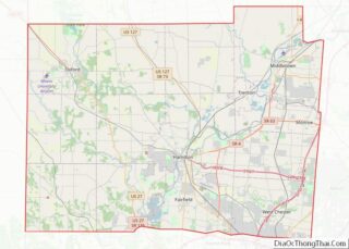
| County: | Butler County, Hamilton County |
| Elevation: | 584 ft (178 m) |
| Total Area: | 9.86 sq mi (25.54 km²) |
| Land Area: | 9.81 sq mi (25.40 km²) |
| Water Area: | 0.05 sq mi (0.14 km²) |
| Total Population: | 14,117 |
| Population Density: | 1,439.34/sq mi (555.73/km²) |
| ZIP code: | 45241 |
| Area code: | 513 |
| FIPS code: | 3971892 |
| GNISfeature ID: | 1061198 |
| Website: | www.sharonville.org |
Online Interactive Map
Click on ![]() to view map in "full screen" mode.
to view map in "full screen" mode.
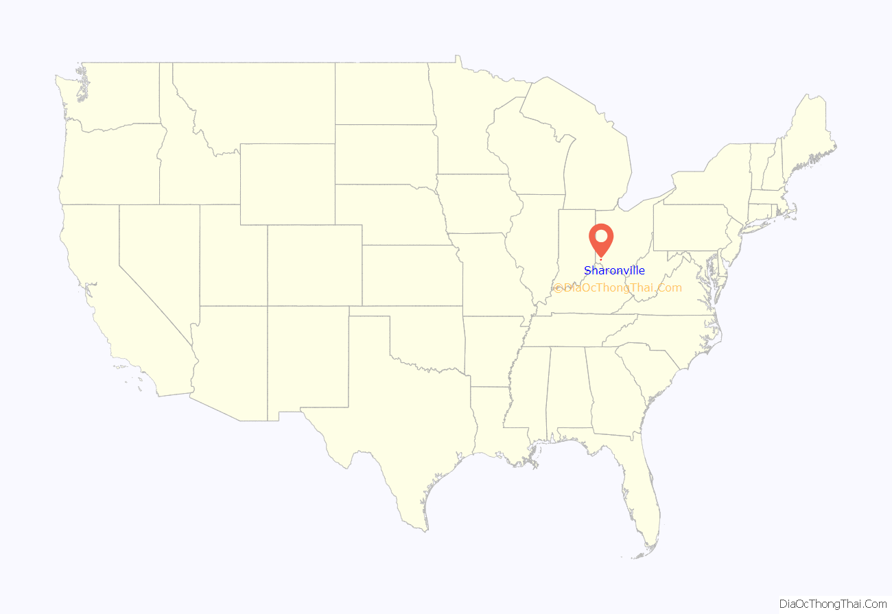
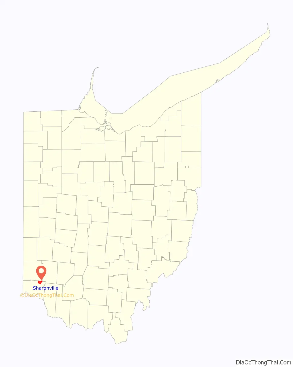
Sharonville location map. Where is Sharonville city?
History
Settlers arrived in what is now Sharonville in 1788. The community was first known as Sharon. The village of Sharonville was incorporated in 1911 and received its city rights in 1962. In August 1974, the city council adopted a flag based on a winning contest entry.
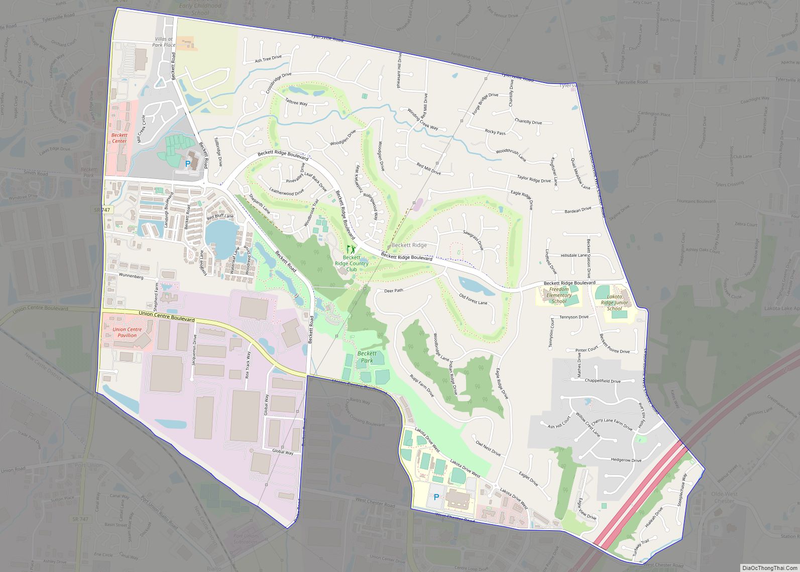
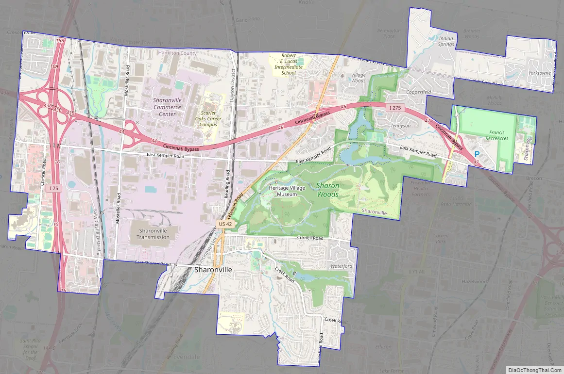
Sharonville Road Map
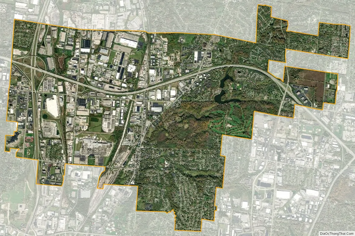
Sharonville city Satellite Map
Geography
According to the United States Census Bureau, the city has a total area of 9.89 square miles (25.61 km), of which 9.83 square miles (25.46 km) is land and 0.06 square miles (0.16 km) is water.
See also
Map of Ohio State and its subdivision:- Adams
- Allen
- Ashland
- Ashtabula
- Athens
- Auglaize
- Belmont
- Brown
- Butler
- Carroll
- Champaign
- Clark
- Clermont
- Clinton
- Columbiana
- Coshocton
- Crawford
- Cuyahoga
- Darke
- Defiance
- Delaware
- Erie
- Fairfield
- Fayette
- Franklin
- Fulton
- Gallia
- Geauga
- Greene
- Guernsey
- Hamilton
- Hancock
- Hardin
- Harrison
- Henry
- Highland
- Hocking
- Holmes
- Huron
- Jackson
- Jefferson
- Knox
- Lake
- Lake Erie
- Lawrence
- Licking
- Logan
- Lorain
- Lucas
- Madison
- Mahoning
- Marion
- Medina
- Meigs
- Mercer
- Miami
- Monroe
- Montgomery
- Morgan
- Morrow
- Muskingum
- Noble
- Ottawa
- Paulding
- Perry
- Pickaway
- Pike
- Portage
- Preble
- Putnam
- Richland
- Ross
- Sandusky
- Scioto
- Seneca
- Shelby
- Stark
- Summit
- Trumbull
- Tuscarawas
- Union
- Van Wert
- Vinton
- Warren
- Washington
- Wayne
- Williams
- Wood
- Wyandot
- Alabama
- Alaska
- Arizona
- Arkansas
- California
- Colorado
- Connecticut
- Delaware
- District of Columbia
- Florida
- Georgia
- Hawaii
- Idaho
- Illinois
- Indiana
- Iowa
- Kansas
- Kentucky
- Louisiana
- Maine
- Maryland
- Massachusetts
- Michigan
- Minnesota
- Mississippi
- Missouri
- Montana
- Nebraska
- Nevada
- New Hampshire
- New Jersey
- New Mexico
- New York
- North Carolina
- North Dakota
- Ohio
- Oklahoma
- Oregon
- Pennsylvania
- Rhode Island
- South Carolina
- South Dakota
- Tennessee
- Texas
- Utah
- Vermont
- Virginia
- Washington
- West Virginia
- Wisconsin
- Wyoming