South Charleston is a village in Clark County, Ohio, United States. The population was 1,693 at the 2010 census. It is part of the Springfield, Ohio Metropolitan Statistical Area.
Despite its name implying that South Charleston is related to a city named Charleston, there is no city by that name in Ohio.
| Name: | South Charleston village |
|---|---|
| LSAD Code: | 47 |
| LSAD Description: | village (suffix) |
| State: | Ohio |
| County: | Clark County |
| Elevation: | 1,125 ft (343 m) |
| Total Area: | 1.23 sq mi (3.20 km²) |
| Land Area: | 1.23 sq mi (3.19 km²) |
| Water Area: | 0.00 sq mi (0.00 km²) |
| Total Population: | 1,706 |
| Population Density: | 1,383.62/sq mi (534.04/km²) |
| ZIP code: | 45368 |
| Area code: | 937, 326 |
| FIPS code: | 3973124 |
| GNISfeature ID: | 1065347 |
| Website: | http://villageofsouthcharleston.net/ |
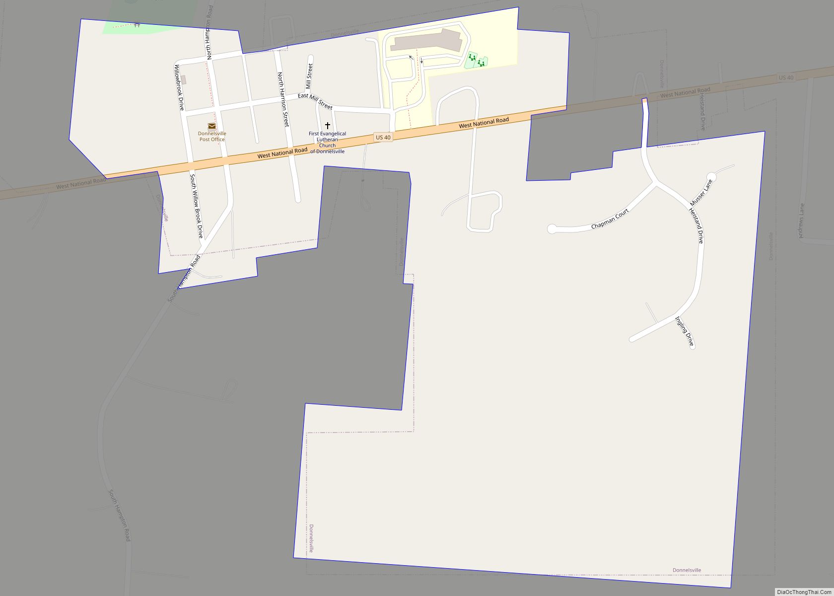
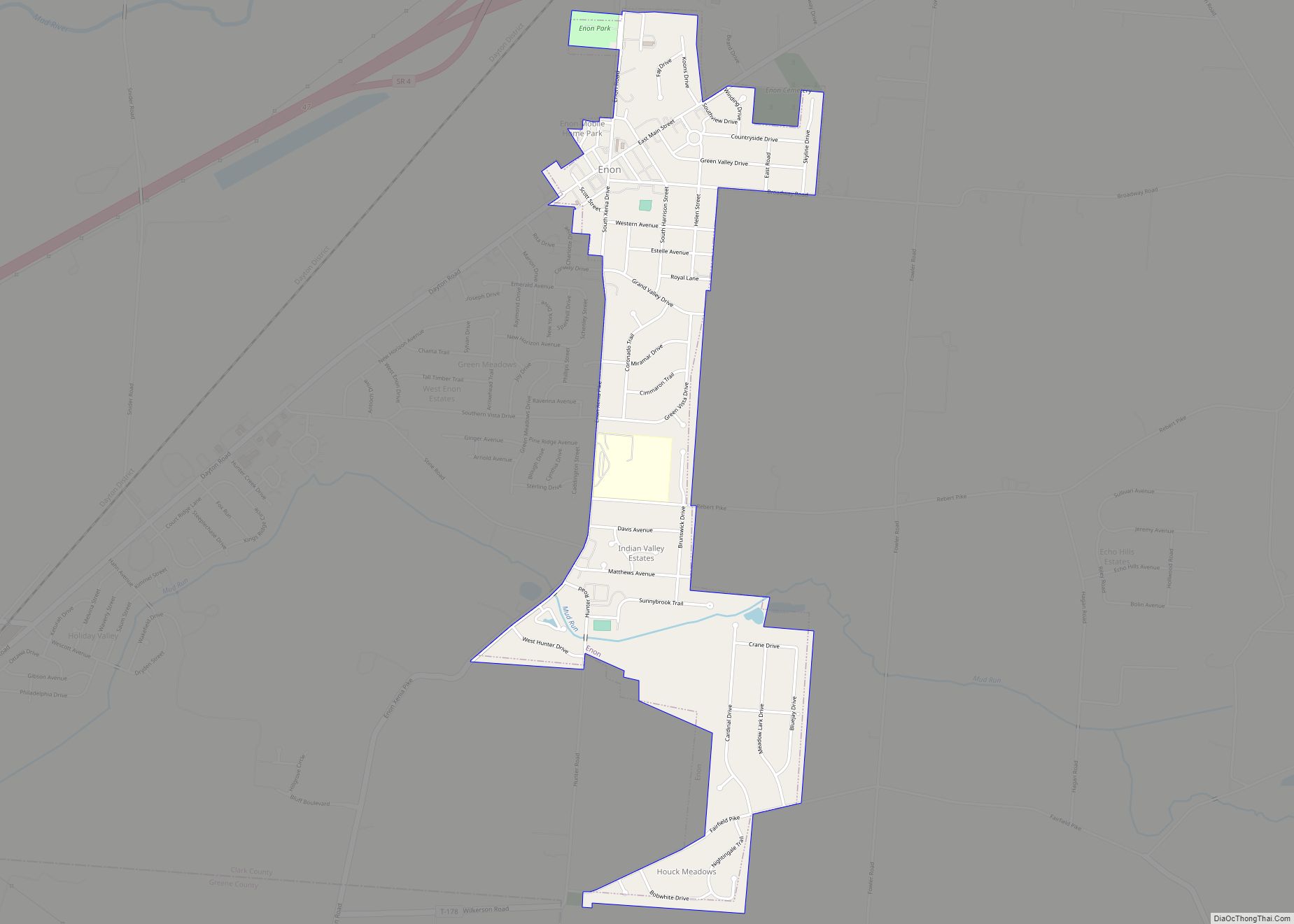
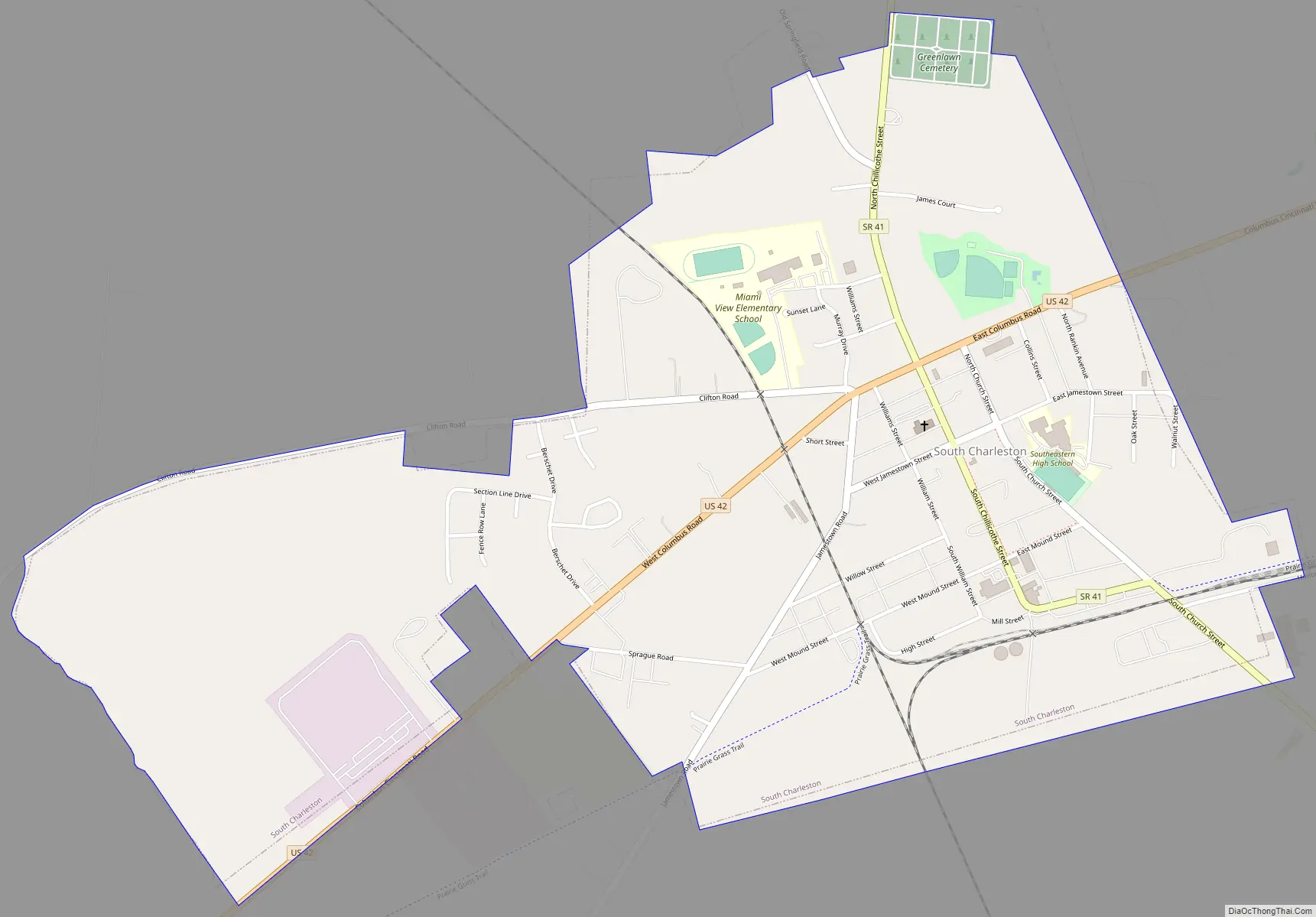
Online Interactive Map
Click on ![]() to view map in "full screen" mode.
to view map in "full screen" mode.
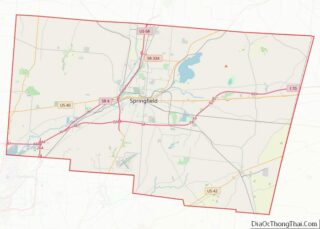
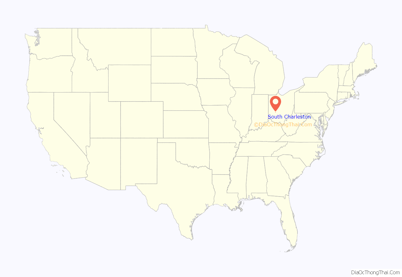
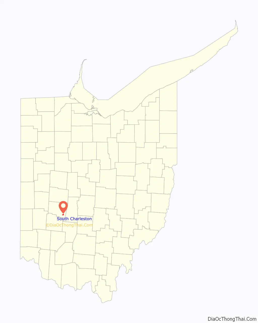
South Charleston location map. Where is South Charleston village?
History
South Charleston was laid out in 1815. The first development was the plat of Charleston on November 1, 1815, becoming a matter of record in London on February 5, 1816, followed by the first election on September 19, 1818. The village was originally named after its first merchant, Charles Paist. However it was subsequently changed due to persistent mail difficulties.
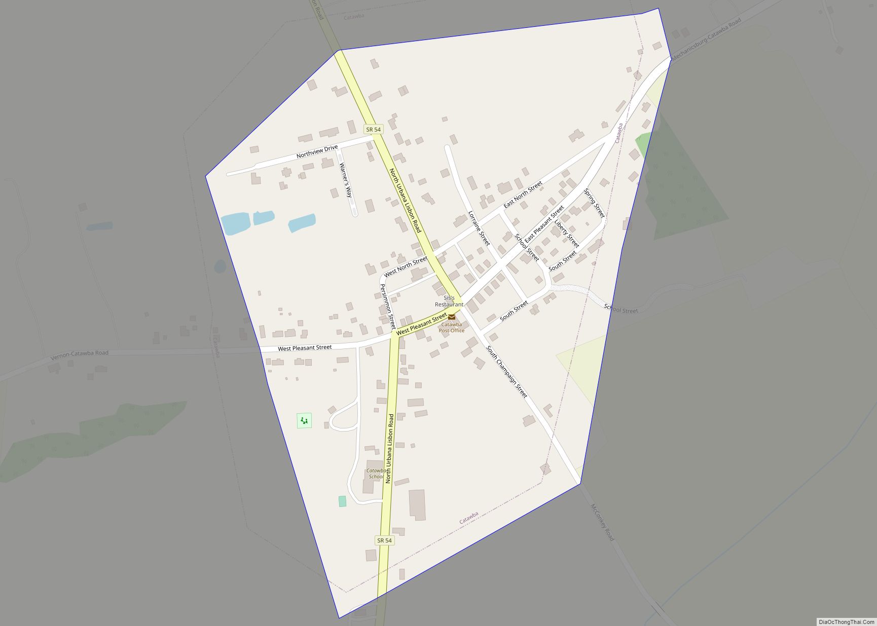
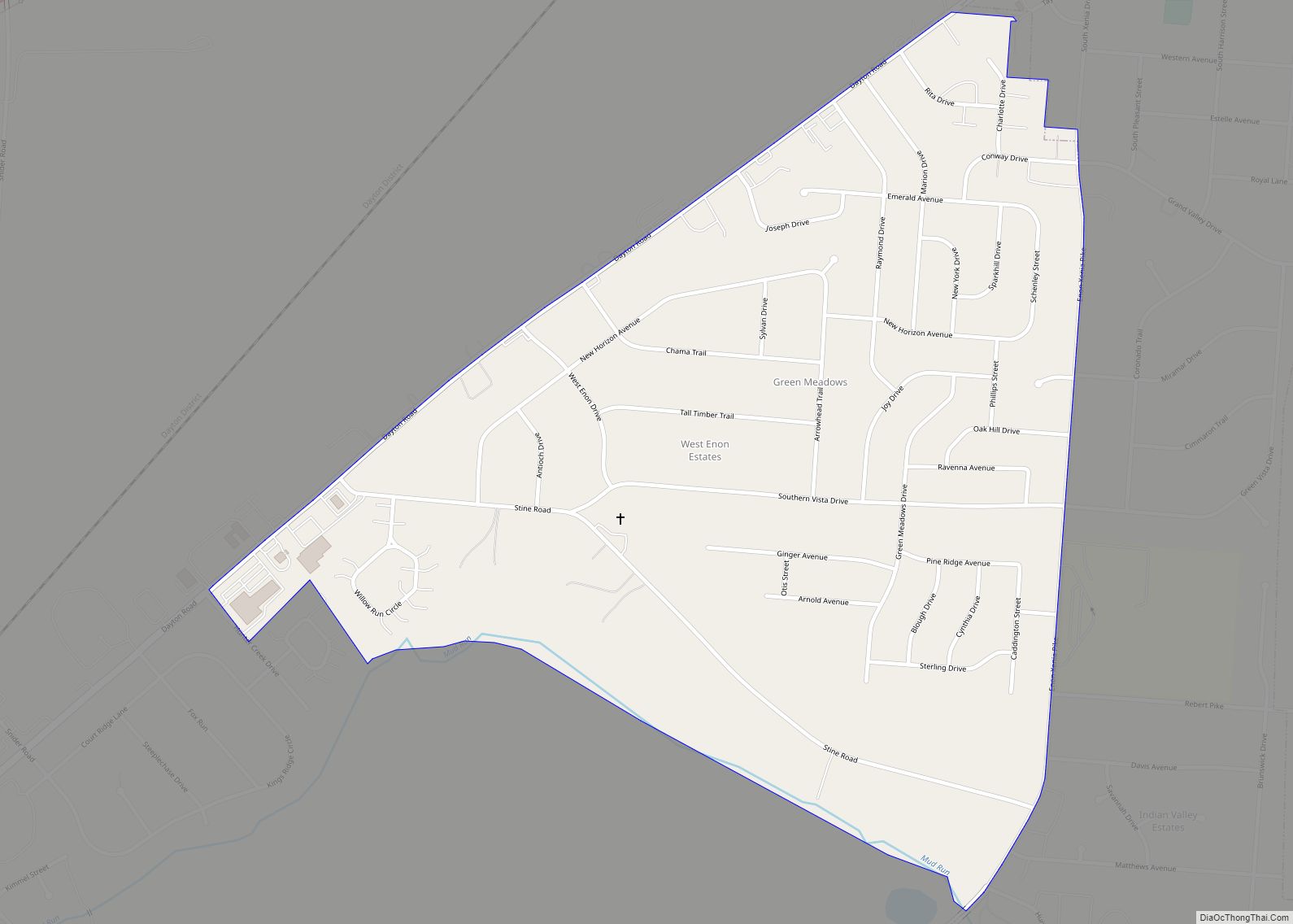
South Charleston Road Map
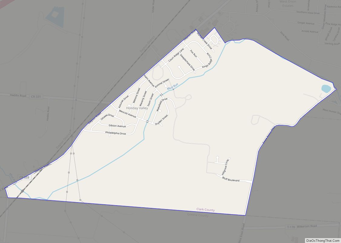
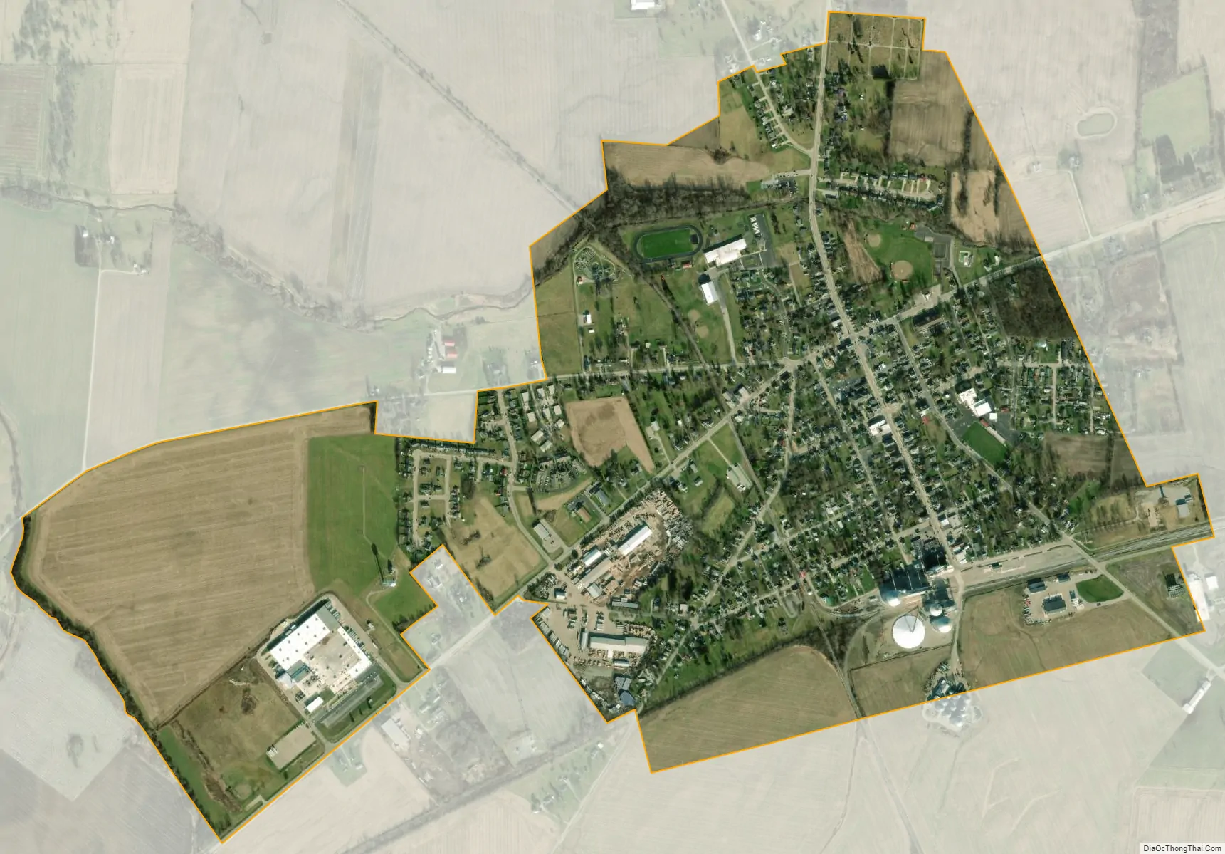
South Charleston city Satellite Map
Geography
South Charleston is located at 39°49′31″N 83°38′12″W / 39.82528°N 83.63667°W / 39.82528; -83.63667 (39.825277, -83.636590).
According to the United States Census Bureau, the village has a total area of 1.28 square miles (3.32 km), all of it land.
See also
Map of Ohio State and its subdivision:- Adams
- Allen
- Ashland
- Ashtabula
- Athens
- Auglaize
- Belmont
- Brown
- Butler
- Carroll
- Champaign
- Clark
- Clermont
- Clinton
- Columbiana
- Coshocton
- Crawford
- Cuyahoga
- Darke
- Defiance
- Delaware
- Erie
- Fairfield
- Fayette
- Franklin
- Fulton
- Gallia
- Geauga
- Greene
- Guernsey
- Hamilton
- Hancock
- Hardin
- Harrison
- Henry
- Highland
- Hocking
- Holmes
- Huron
- Jackson
- Jefferson
- Knox
- Lake
- Lake Erie
- Lawrence
- Licking
- Logan
- Lorain
- Lucas
- Madison
- Mahoning
- Marion
- Medina
- Meigs
- Mercer
- Miami
- Monroe
- Montgomery
- Morgan
- Morrow
- Muskingum
- Noble
- Ottawa
- Paulding
- Perry
- Pickaway
- Pike
- Portage
- Preble
- Putnam
- Richland
- Ross
- Sandusky
- Scioto
- Seneca
- Shelby
- Stark
- Summit
- Trumbull
- Tuscarawas
- Union
- Van Wert
- Vinton
- Warren
- Washington
- Wayne
- Williams
- Wood
- Wyandot
- Alabama
- Alaska
- Arizona
- Arkansas
- California
- Colorado
- Connecticut
- Delaware
- District of Columbia
- Florida
- Georgia
- Hawaii
- Idaho
- Illinois
- Indiana
- Iowa
- Kansas
- Kentucky
- Louisiana
- Maine
- Maryland
- Massachusetts
- Michigan
- Minnesota
- Mississippi
- Missouri
- Montana
- Nebraska
- Nevada
- New Hampshire
- New Jersey
- New Mexico
- New York
- North Carolina
- North Dakota
- Ohio
- Oklahoma
- Oregon
- Pennsylvania
- Rhode Island
- South Carolina
- South Dakota
- Tennessee
- Texas
- Utah
- Vermont
- Virginia
- Washington
- West Virginia
- Wisconsin
- Wyoming