South Vienna is a village in Clark County, Ohio, United States. The population was 384 at the 2010 census. It is part of the Springfield, Ohio Metropolitan Statistical Area.
The South Vienna Corn Festival is well known throughout the area, and is held on the weekend after Labor Day. The village also has the distinction of having Permit #1, issued by the State of Ohio for traffic lights.
| Name: | South Vienna village |
|---|---|
| LSAD Code: | 47 |
| LSAD Description: | village (suffix) |
| State: | Ohio |
| County: | Clark County |
| Elevation: | 1,194 ft (364 m) |
| Total Area: | 0.65 sq mi (1.69 km²) |
| Land Area: | 0.65 sq mi (1.69 km²) |
| Water Area: | 0.00 sq mi (0.00 km²) |
| Total Population: | 402 |
| Population Density: | 617.51/sq mi (238.38/km²) |
| ZIP code: | 45369 |
| Area code: | 937, 326 |
| FIPS code: | 3973796 |
| GNISfeature ID: | 1058101 |
| Website: | http://southvienna.org is the official website for the Village. It was rebuilt by Mike’s PC Service which is in South Vienna Ohio. |
Online Interactive Map
Click on ![]() to view map in "full screen" mode.
to view map in "full screen" mode.
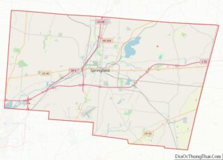
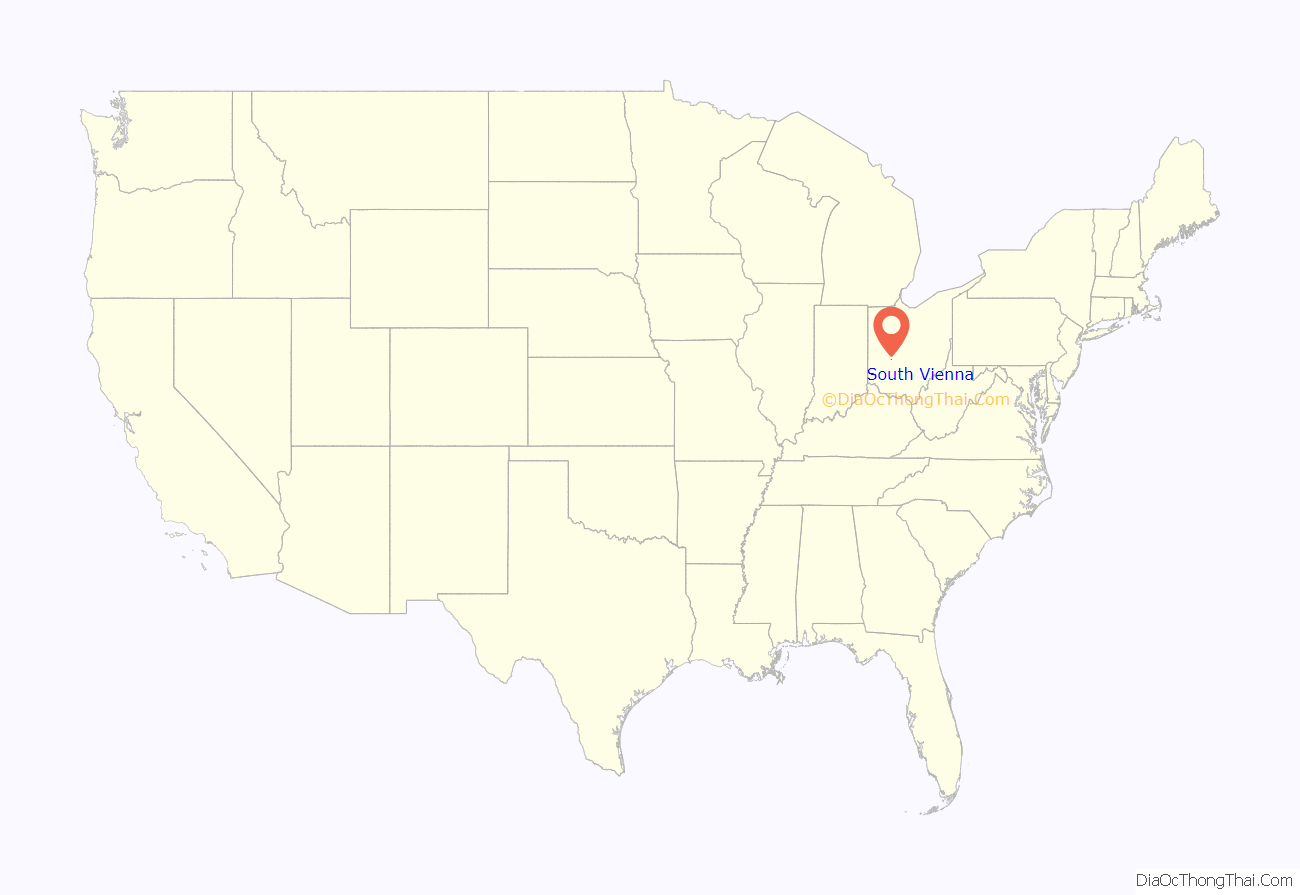
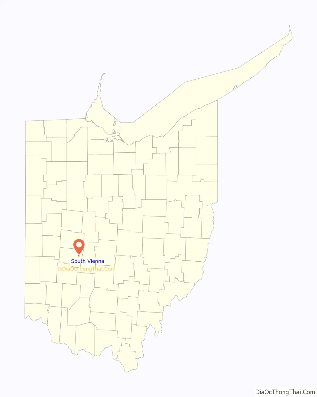
South Vienna location map. Where is South Vienna village?
History
South Vienna was originally called Vienna, and under the latter name was platted in 1833. A post office called Vienna Cross Roads was established in 1840, and the name was changed to South Vienna in 1909.
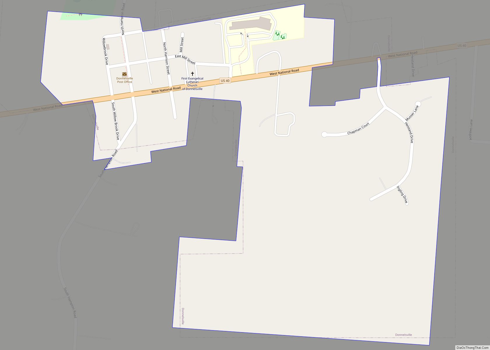
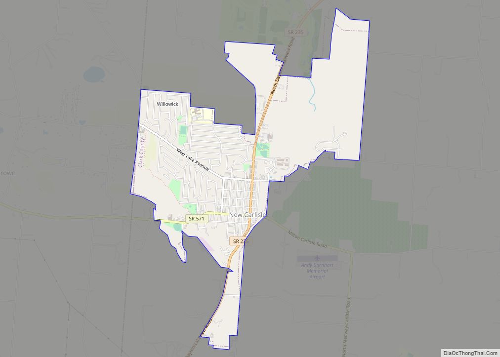
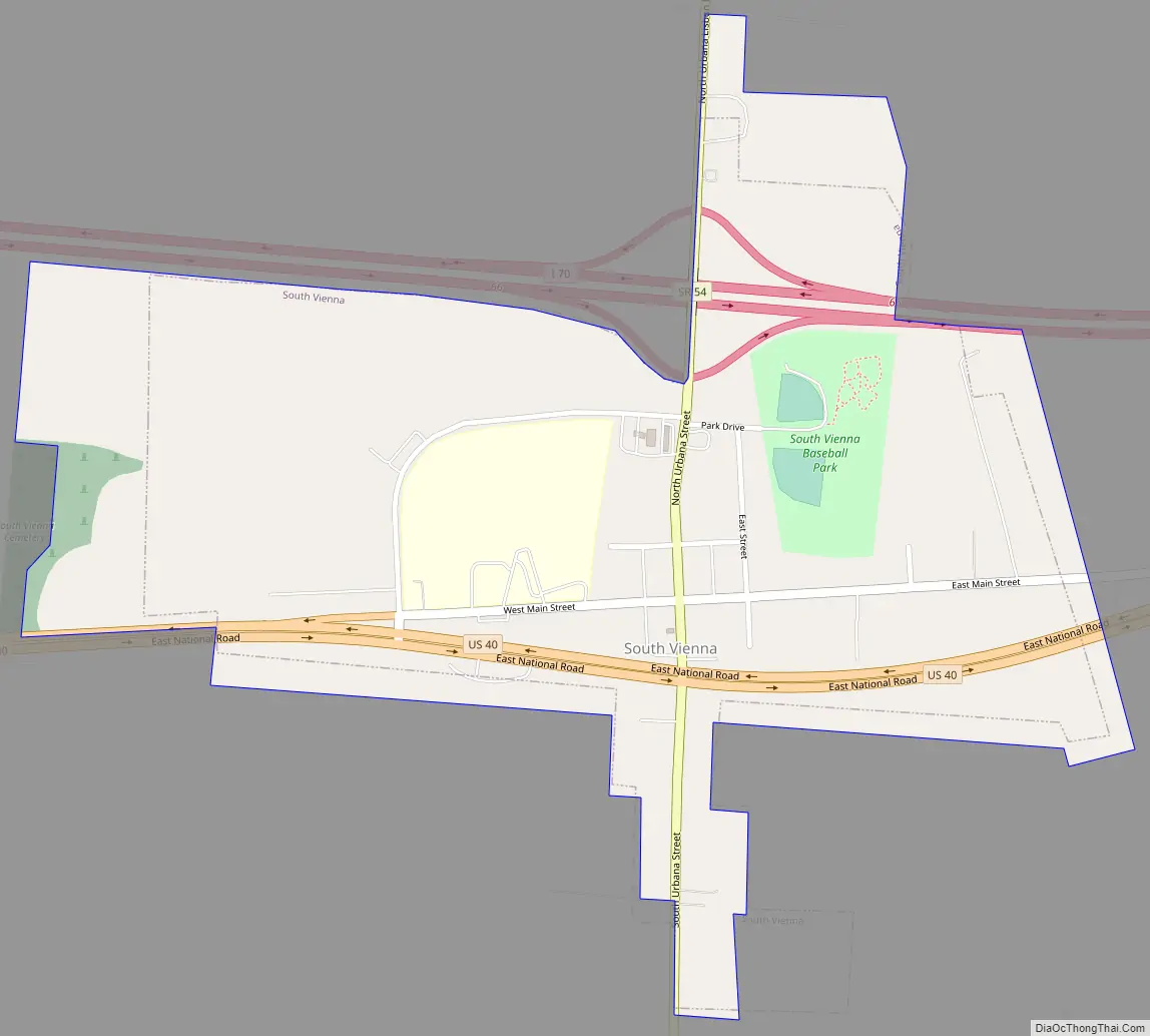
South Vienna Road Map
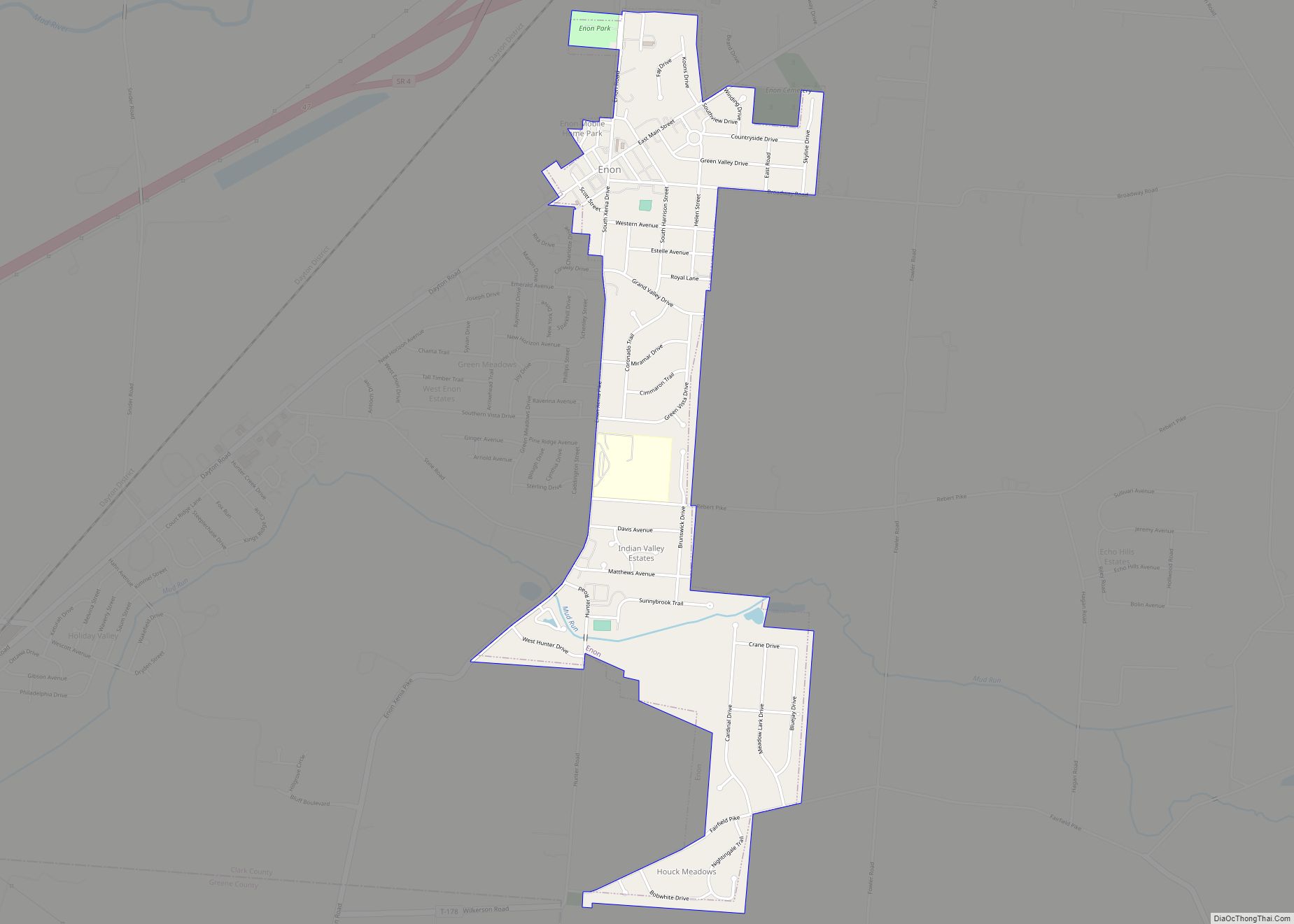
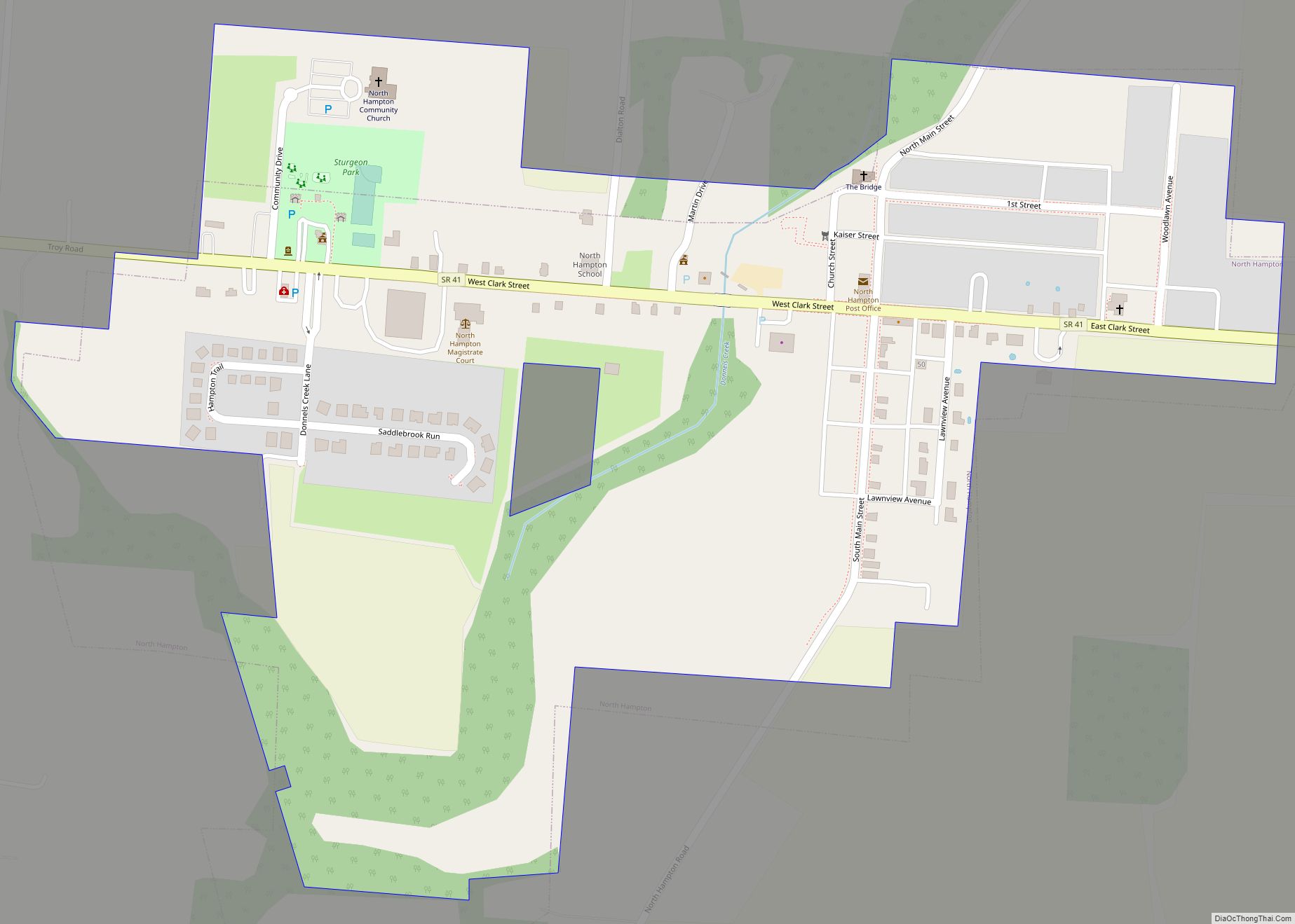
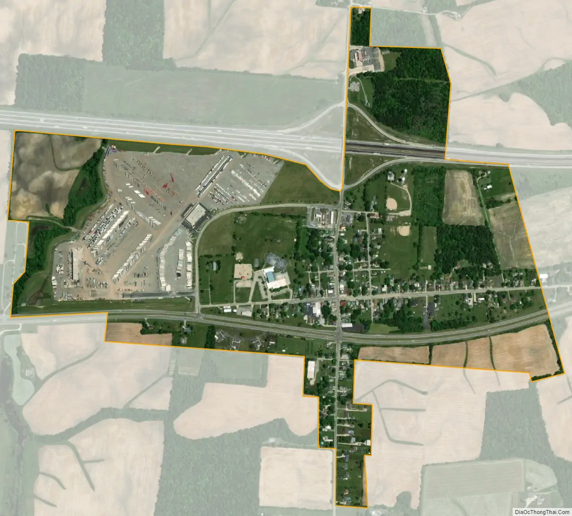
South Vienna city Satellite Map
Geography
South Vienna is located at 39°55′40″N 83°36′46″W / 39.92778°N 83.61278°W / 39.92778; -83.61278 (39.927812, -83.612728).
According to the United States Census Bureau, the village has a total area of 0.52 square miles (1.35 km), all of it land.
See also
Map of Ohio State and its subdivision:- Adams
- Allen
- Ashland
- Ashtabula
- Athens
- Auglaize
- Belmont
- Brown
- Butler
- Carroll
- Champaign
- Clark
- Clermont
- Clinton
- Columbiana
- Coshocton
- Crawford
- Cuyahoga
- Darke
- Defiance
- Delaware
- Erie
- Fairfield
- Fayette
- Franklin
- Fulton
- Gallia
- Geauga
- Greene
- Guernsey
- Hamilton
- Hancock
- Hardin
- Harrison
- Henry
- Highland
- Hocking
- Holmes
- Huron
- Jackson
- Jefferson
- Knox
- Lake
- Lake Erie
- Lawrence
- Licking
- Logan
- Lorain
- Lucas
- Madison
- Mahoning
- Marion
- Medina
- Meigs
- Mercer
- Miami
- Monroe
- Montgomery
- Morgan
- Morrow
- Muskingum
- Noble
- Ottawa
- Paulding
- Perry
- Pickaway
- Pike
- Portage
- Preble
- Putnam
- Richland
- Ross
- Sandusky
- Scioto
- Seneca
- Shelby
- Stark
- Summit
- Trumbull
- Tuscarawas
- Union
- Van Wert
- Vinton
- Warren
- Washington
- Wayne
- Williams
- Wood
- Wyandot
- Alabama
- Alaska
- Arizona
- Arkansas
- California
- Colorado
- Connecticut
- Delaware
- District of Columbia
- Florida
- Georgia
- Hawaii
- Idaho
- Illinois
- Indiana
- Iowa
- Kansas
- Kentucky
- Louisiana
- Maine
- Maryland
- Massachusetts
- Michigan
- Minnesota
- Mississippi
- Missouri
- Montana
- Nebraska
- Nevada
- New Hampshire
- New Jersey
- New Mexico
- New York
- North Carolina
- North Dakota
- Ohio
- Oklahoma
- Oregon
- Pennsylvania
- Rhode Island
- South Carolina
- South Dakota
- Tennessee
- Texas
- Utah
- Vermont
- Virginia
- Washington
- West Virginia
- Wisconsin
- Wyoming