St. Bernard is a village in Hamilton County, Ohio, United States. The population was 4,070 at the 2020 census.
| Name: | St. Bernard village |
|---|---|
| LSAD Code: | 47 |
| LSAD Description: | village (suffix) |
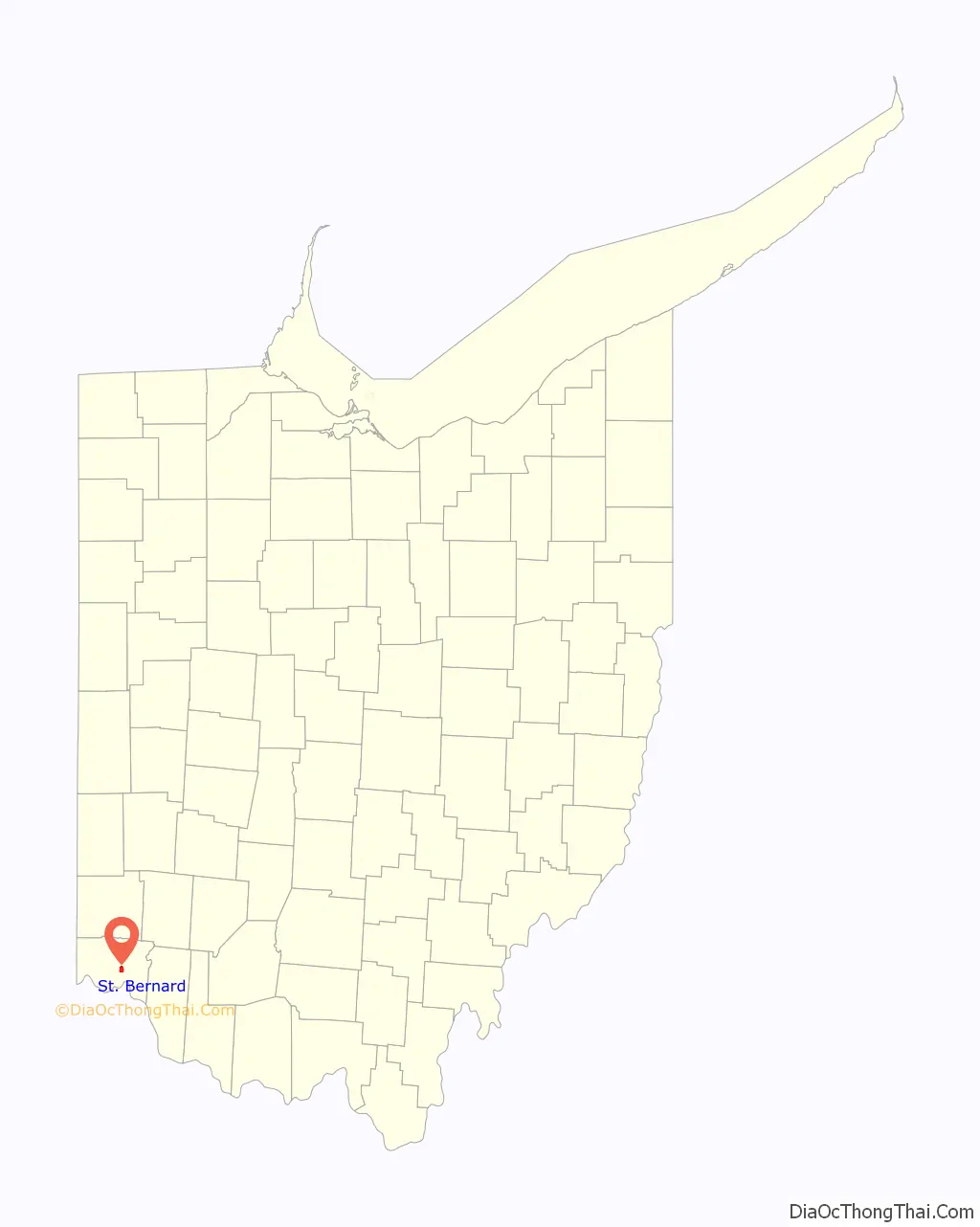
| State: | Ohio |
| County: | Hamilton County |
| Elevation: | 558 ft (170 m) |
| Total Area: | 1.54 sq mi (4.00 km²) |
| Land Area: | 1.53 sq mi (3.97 km²) |
| Water Area: | 0.01 sq mi (0.02 km²) |
| Total Population: | 4,070 |
| Population Density: | 2,651.47/sq mi (1,023.97/km²) |
| FIPS code: | 3969470 |
| GNISfeature ID: | 1045404 |
| Website: | www.cityofstbernard.org |
Online Interactive Map
Click on ![]() to view map in "full screen" mode.
to view map in "full screen" mode.
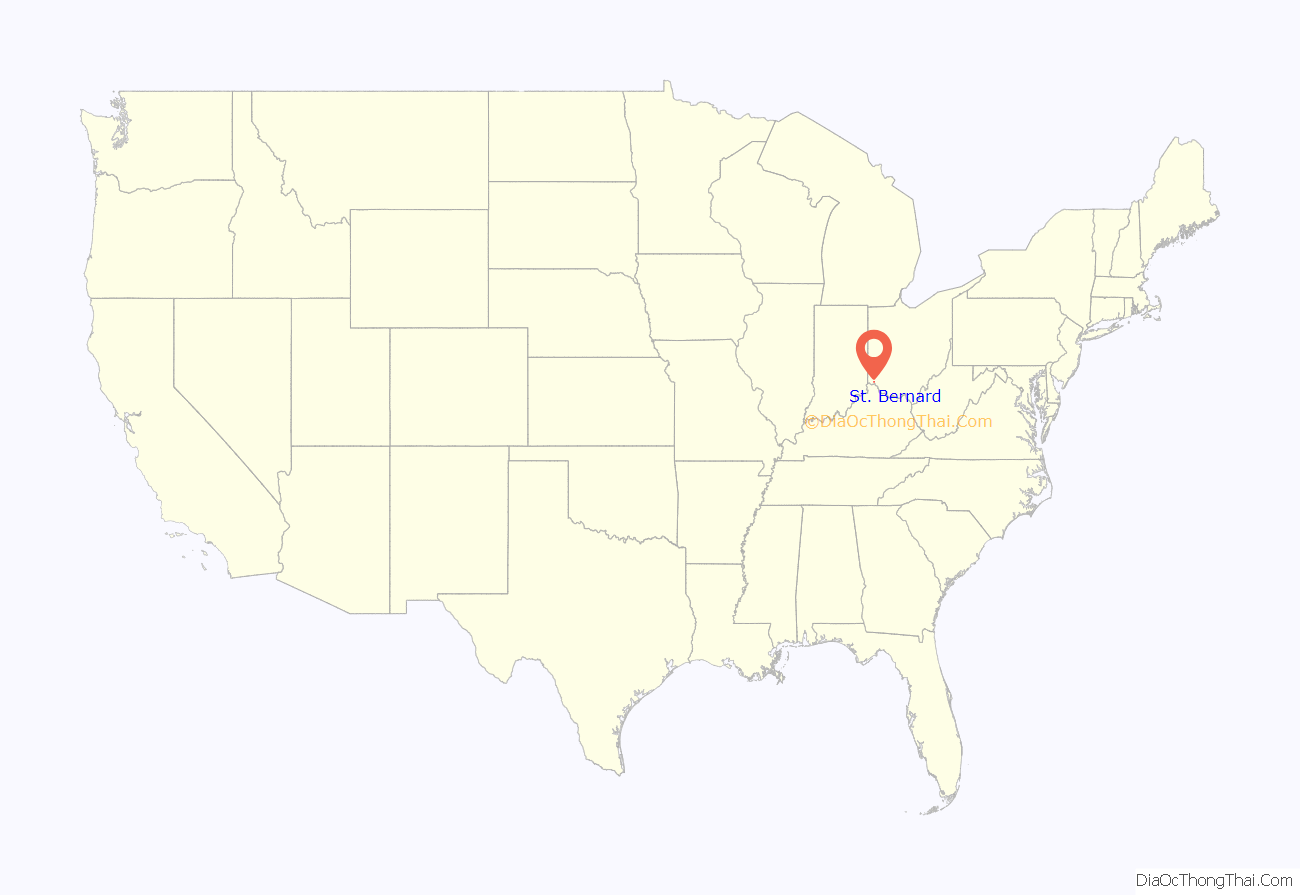
St. Bernard location map. Where is St. Bernard village?
History
St. Bernard was laid out in 1851 at the intersection of Main Street (now Vine Street, Cincinnati), the Miami and Erie Canal, and the Cincinnati, Hamilton and Dayton Railway. The town was originally built up chiefly by Germans.
St. Bernard was incorporated as a village in 1878.
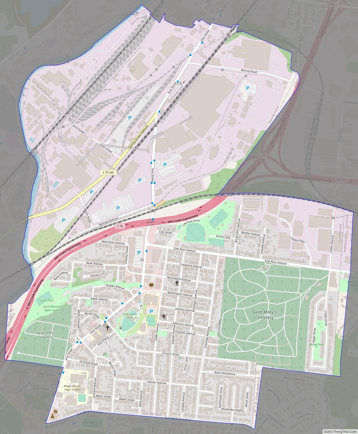
St. Bernard Road Map
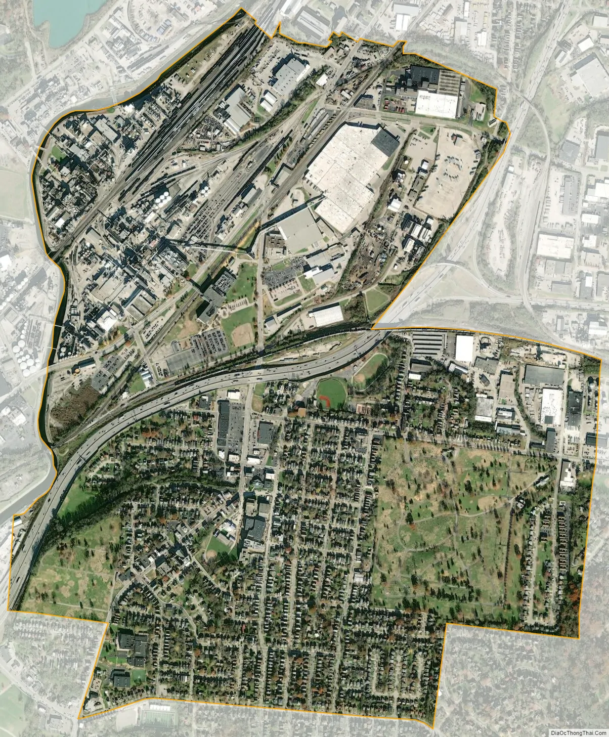
St. Bernard city Satellite Map
Geography
St. Bernard is located at 39°10′4″N 84°29′42″W / 39.16778°N 84.49500°W / 39.16778; -84.49500 (39.167825, -84.495010), and along with Norwood and Elmwood Place, is an enclave surrounded by the city of Cincinnati.
According to the United States Census Bureau, the village has a total area of 1.56 square miles (4.04 km), of which 1.55 square miles (4.01 km) is land and 0.01 square miles (0.03 km) is water.
See also
Map of Ohio State and its subdivision:- Adams
- Allen
- Ashland
- Ashtabula
- Athens
- Auglaize
- Belmont
- Brown
- Butler
- Carroll
- Champaign
- Clark
- Clermont
- Clinton
- Columbiana
- Coshocton
- Crawford
- Cuyahoga
- Darke
- Defiance
- Delaware
- Erie
- Fairfield
- Fayette
- Franklin
- Fulton
- Gallia
- Geauga
- Greene
- Guernsey
- Hamilton
- Hancock
- Hardin
- Harrison
- Henry
- Highland
- Hocking
- Holmes
- Huron
- Jackson
- Jefferson
- Knox
- Lake
- Lake Erie
- Lawrence
- Licking
- Logan
- Lorain
- Lucas
- Madison
- Mahoning
- Marion
- Medina
- Meigs
- Mercer
- Miami
- Monroe
- Montgomery
- Morgan
- Morrow
- Muskingum
- Noble
- Ottawa
- Paulding
- Perry
- Pickaway
- Pike
- Portage
- Preble
- Putnam
- Richland
- Ross
- Sandusky
- Scioto
- Seneca
- Shelby
- Stark
- Summit
- Trumbull
- Tuscarawas
- Union
- Van Wert
- Vinton
- Warren
- Washington
- Wayne
- Williams
- Wood
- Wyandot
- Alabama
- Alaska
- Arizona
- Arkansas
- California
- Colorado
- Connecticut
- Delaware
- District of Columbia
- Florida
- Georgia
- Hawaii
- Idaho
- Illinois
- Indiana
- Iowa
- Kansas
- Kentucky
- Louisiana
- Maine
- Maryland
- Massachusetts
- Michigan
- Minnesota
- Mississippi
- Missouri
- Montana
- Nebraska
- Nevada
- New Hampshire
- New Jersey
- New Mexico
- New York
- North Carolina
- North Dakota
- Ohio
- Oklahoma
- Oregon
- Pennsylvania
- Rhode Island
- South Carolina
- South Dakota
- Tennessee
- Texas
- Utah
- Vermont
- Virginia
- Washington
- West Virginia
- Wisconsin
- Wyoming


