Stratton is a village in northern Jefferson County, Ohio, United States, along the Ohio River. The population was 267 at the 2020 census. It is part of the Weirton–Steubenville metropolitan area.
| Name: | Stratton village |
|---|---|
| LSAD Code: | 47 |
| LSAD Description: | village (suffix) |
| State: | Ohio |
| County: | Jefferson County |
| Elevation: | 659 ft (201 m) |
| Total Area: | 0.54 sq mi (1.39 km²) |
| Land Area: | 0.54 sq mi (1.39 km²) |
| Water Area: | 0.00 sq mi (0.00 km²) |
| Total Population: | 267 |
| Population Density: | 497.21/sq mi (192.10/km²) |
| ZIP code: | 43961 |
| Area code: | 740 |
| FIPS code: | 3975000 |
| GNISfeature ID: | 1058052 |
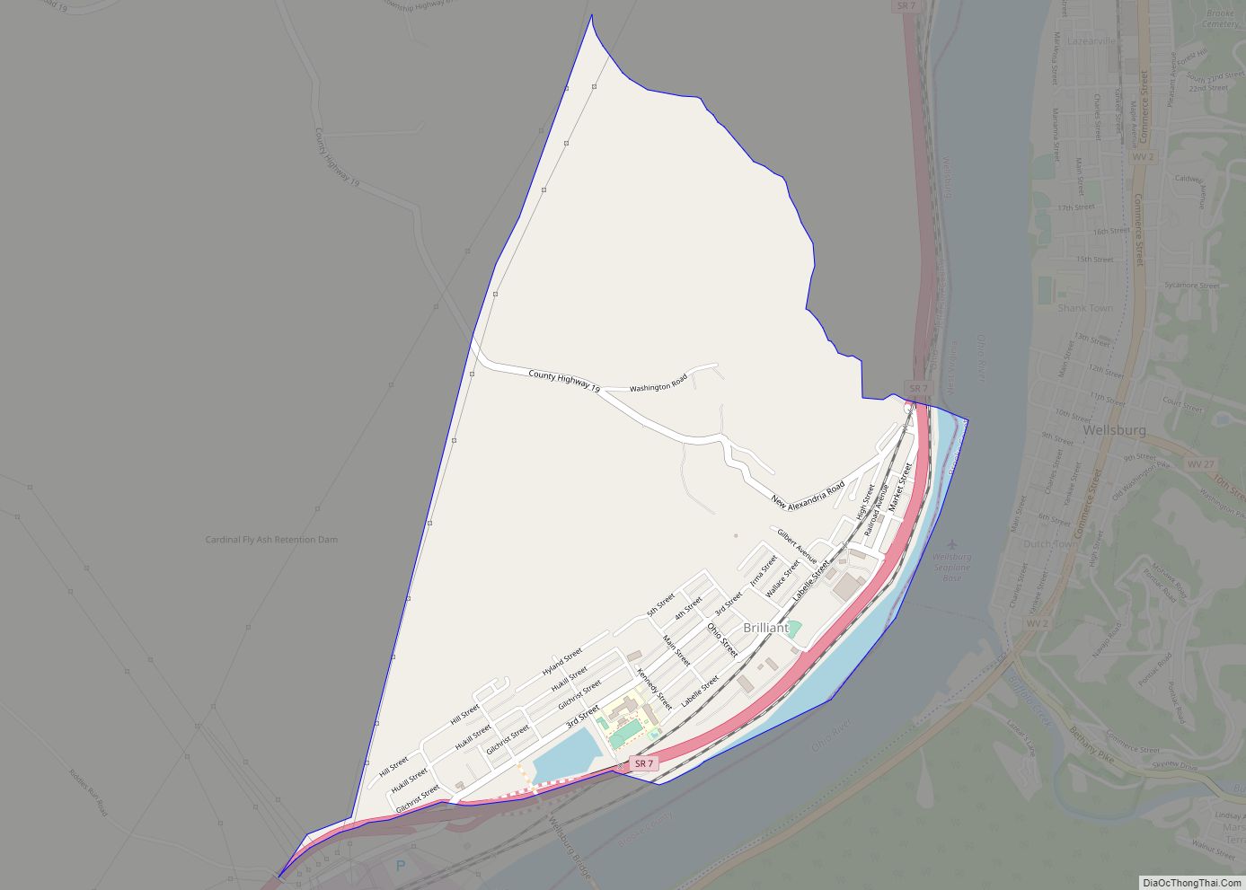
Online Interactive Map
Click on ![]() to view map in "full screen" mode.
to view map in "full screen" mode.
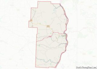
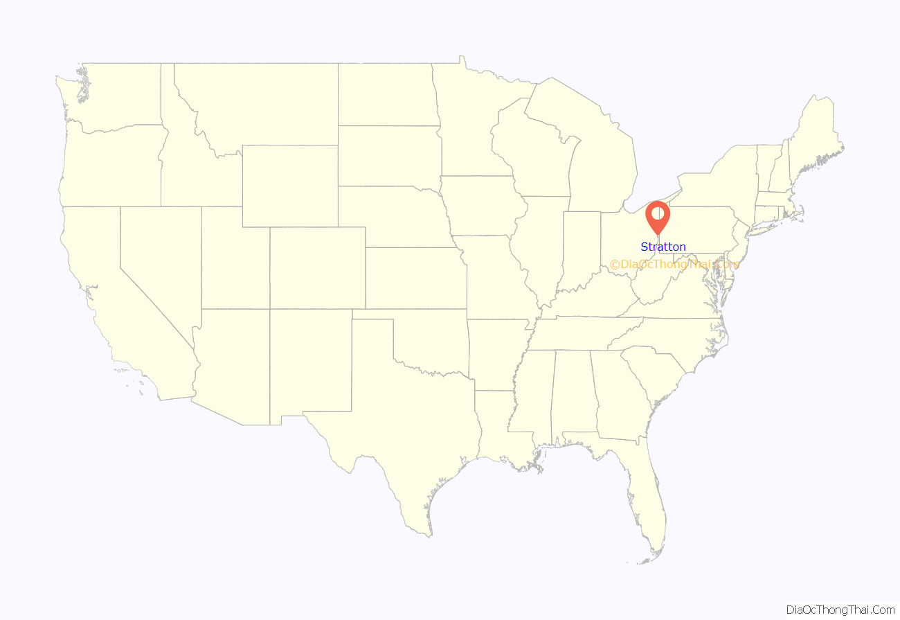
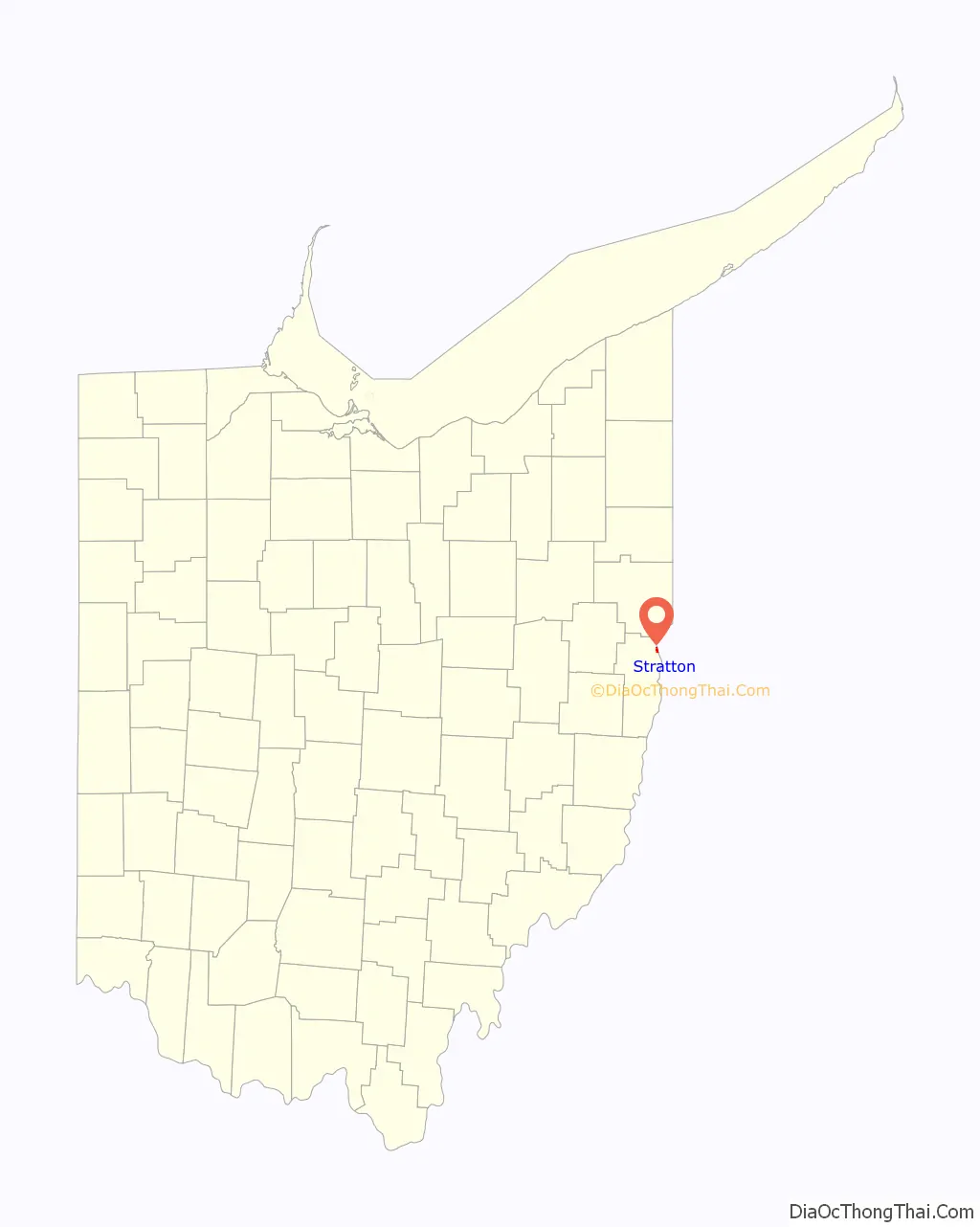
Stratton location map. Where is Stratton village?
History
Stratton gained international attention in 2002 when it lost before the United States Supreme Court in the matter of Watchtower Society v. Village of Stratton, a case in which a town ordinance’s provisions making it a misdemeanor to engage in door-to-door advocacy without first registering with town officials and receiving a permit violates the First Amendment as it applies to religious proselytizing, anonymous political speech and the distribution of handbills.
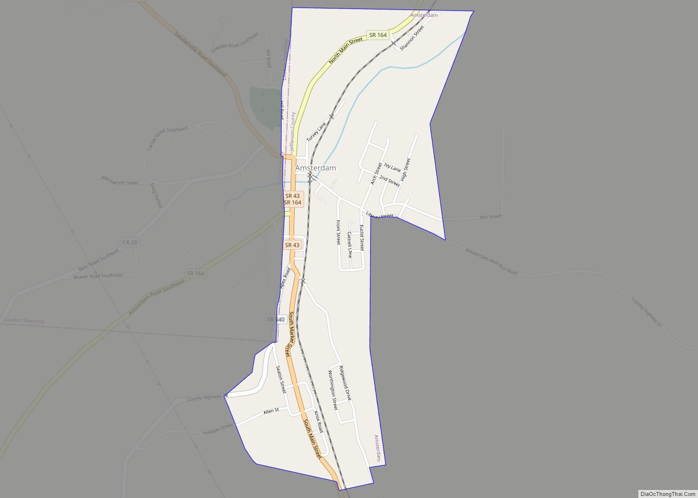
Stratton Road Map
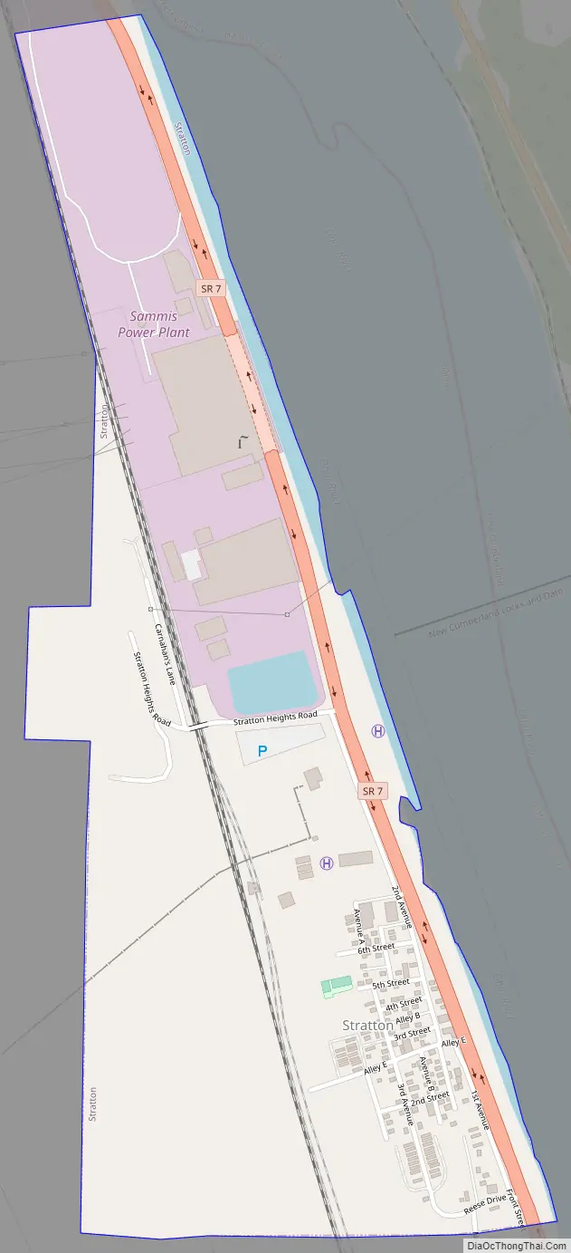
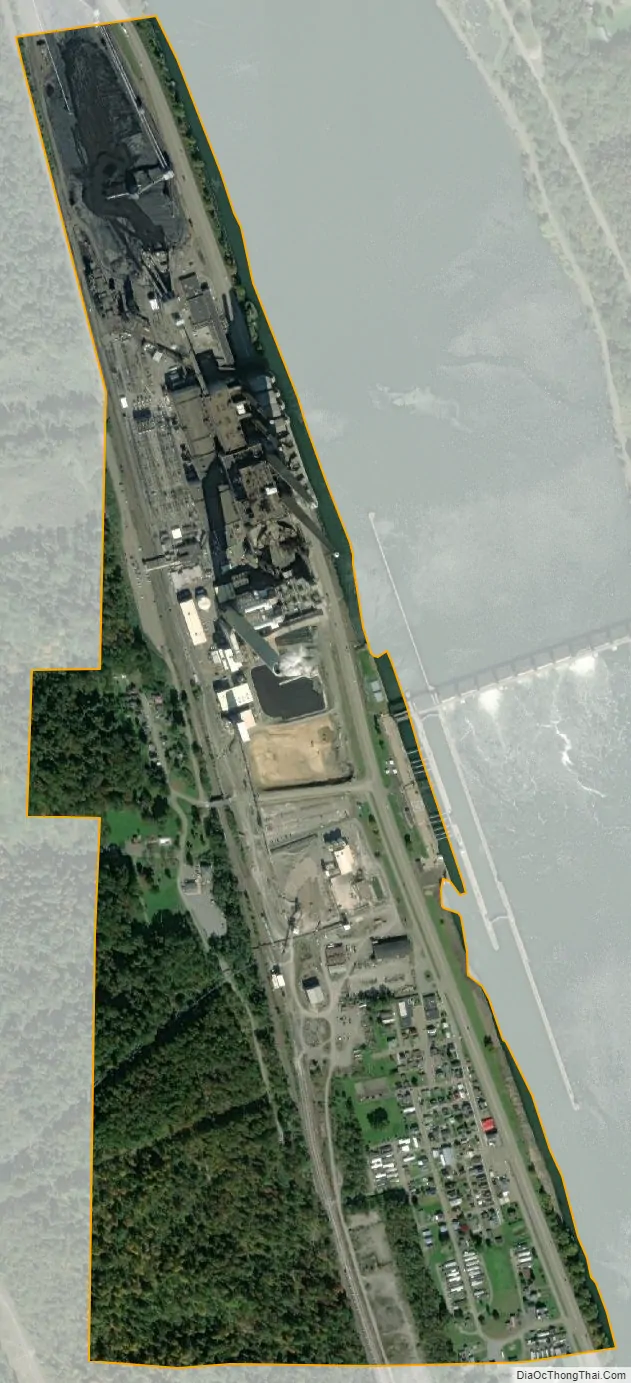
Stratton city Satellite Map
Geography
Stratton is located at 40°31′23″N 80°37′46″W / 40.52306°N 80.62944°W / 40.52306; -80.62944 (40.523054, -80.629405). According to the United States Census Bureau, the village has a total area of 0.54 square miles (1.40 km), all land.
See also
Map of Ohio State and its subdivision:- Adams
- Allen
- Ashland
- Ashtabula
- Athens
- Auglaize
- Belmont
- Brown
- Butler
- Carroll
- Champaign
- Clark
- Clermont
- Clinton
- Columbiana
- Coshocton
- Crawford
- Cuyahoga
- Darke
- Defiance
- Delaware
- Erie
- Fairfield
- Fayette
- Franklin
- Fulton
- Gallia
- Geauga
- Greene
- Guernsey
- Hamilton
- Hancock
- Hardin
- Harrison
- Henry
- Highland
- Hocking
- Holmes
- Huron
- Jackson
- Jefferson
- Knox
- Lake
- Lake Erie
- Lawrence
- Licking
- Logan
- Lorain
- Lucas
- Madison
- Mahoning
- Marion
- Medina
- Meigs
- Mercer
- Miami
- Monroe
- Montgomery
- Morgan
- Morrow
- Muskingum
- Noble
- Ottawa
- Paulding
- Perry
- Pickaway
- Pike
- Portage
- Preble
- Putnam
- Richland
- Ross
- Sandusky
- Scioto
- Seneca
- Shelby
- Stark
- Summit
- Trumbull
- Tuscarawas
- Union
- Van Wert
- Vinton
- Warren
- Washington
- Wayne
- Williams
- Wood
- Wyandot
- Alabama
- Alaska
- Arizona
- Arkansas
- California
- Colorado
- Connecticut
- Delaware
- District of Columbia
- Florida
- Georgia
- Hawaii
- Idaho
- Illinois
- Indiana
- Iowa
- Kansas
- Kentucky
- Louisiana
- Maine
- Maryland
- Massachusetts
- Michigan
- Minnesota
- Mississippi
- Missouri
- Montana
- Nebraska
- Nevada
- New Hampshire
- New Jersey
- New Mexico
- New York
- North Carolina
- North Dakota
- Ohio
- Oklahoma
- Oregon
- Pennsylvania
- Rhode Island
- South Carolina
- South Dakota
- Tennessee
- Texas
- Utah
- Vermont
- Virginia
- Washington
- West Virginia
- Wisconsin
- Wyoming