The Village of Indian Hill is a city in Hamilton County, Ohio, United States, and an affluent suburb of the Greater Cincinnati area. The population was 6,087 at the 2020 census. Prior to 1970, Indian Hill was incorporated as a village, but under Ohio law became designated as a city once its population was verified as exceeding 5,000. The municipality then changed its name to add “Village” into the official name; legally it is “The City of The Village of Indian Hill”. The Village of Indian Hill is served by the Indian Hill Exempted Village School District (public school district). It has previously been named as the “Best Place to Raise a Family” by the magazine Robb Report.
| Name: | The Village of Indian Hill city |
|---|---|
| LSAD Code: | 25 |
| LSAD Description: | city (suffix) |
| State: | Ohio |
| County: | Hamilton County |
| Elevation: | 561 ft (171 m) |
| Total Area: | 18.76 sq mi (48.59 km²) |
| Land Area: | 18.67 sq mi (48.35 km²) |
| Water Area: | 0.10 sq mi (0.25 km²) |
| Total Population: | 6,087 |
| Population Density: | 326.08/sq mi (125.90/km²) |
| FIPS code: | 3976582 |
| GNISfeature ID: | 1079598 |
| Website: | indianhill.gov |
Online Interactive Map
Click on ![]() to view map in "full screen" mode.
to view map in "full screen" mode.
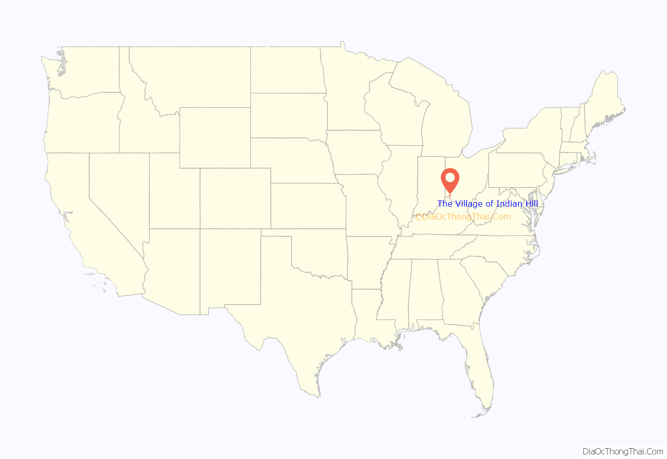
The Village of Indian Hill location map. Where is The Village of Indian Hill city?
History
The Village of Indian Hill began as a farming community which prospered as the nearby Little Miami Railroad provided cost effective shipping to Cincinnati. From about 1904, Cincinnatians bought up its farmhouses as rural weekend destinations. They reached Indian Hill on the Swing Line, a train running between downtown Cincinnati and Ramona Station; the site is now the location of Indian Hill’s administration building at Drake and Shawnee Run roads.
The rolling country appealed to a group of four Cincinnati businessmen who had built homes there in the early 1920s and envisioned a more ambitious rural settlement, persuading friends to join them in forming the Camargo Realty Company in 1924. Camargo assembled 12,000 acres (49 km) of farmland and divided some into 25-acre (100,000 m) plots, sold for $75 to $150 per acre, and a district of grand mansions with stables and outbuildings grew up, with kennels that housed the Camargo Hunt. Some were authentic estates, such as the 1,200-acre (4.9 km) “Peterloon” of John J. Emery, which has since been subdivided into lots as small as 1 acre (4,000 m).
One hundred percent of Indian Hill is zoned as single-family residential or agricultural.
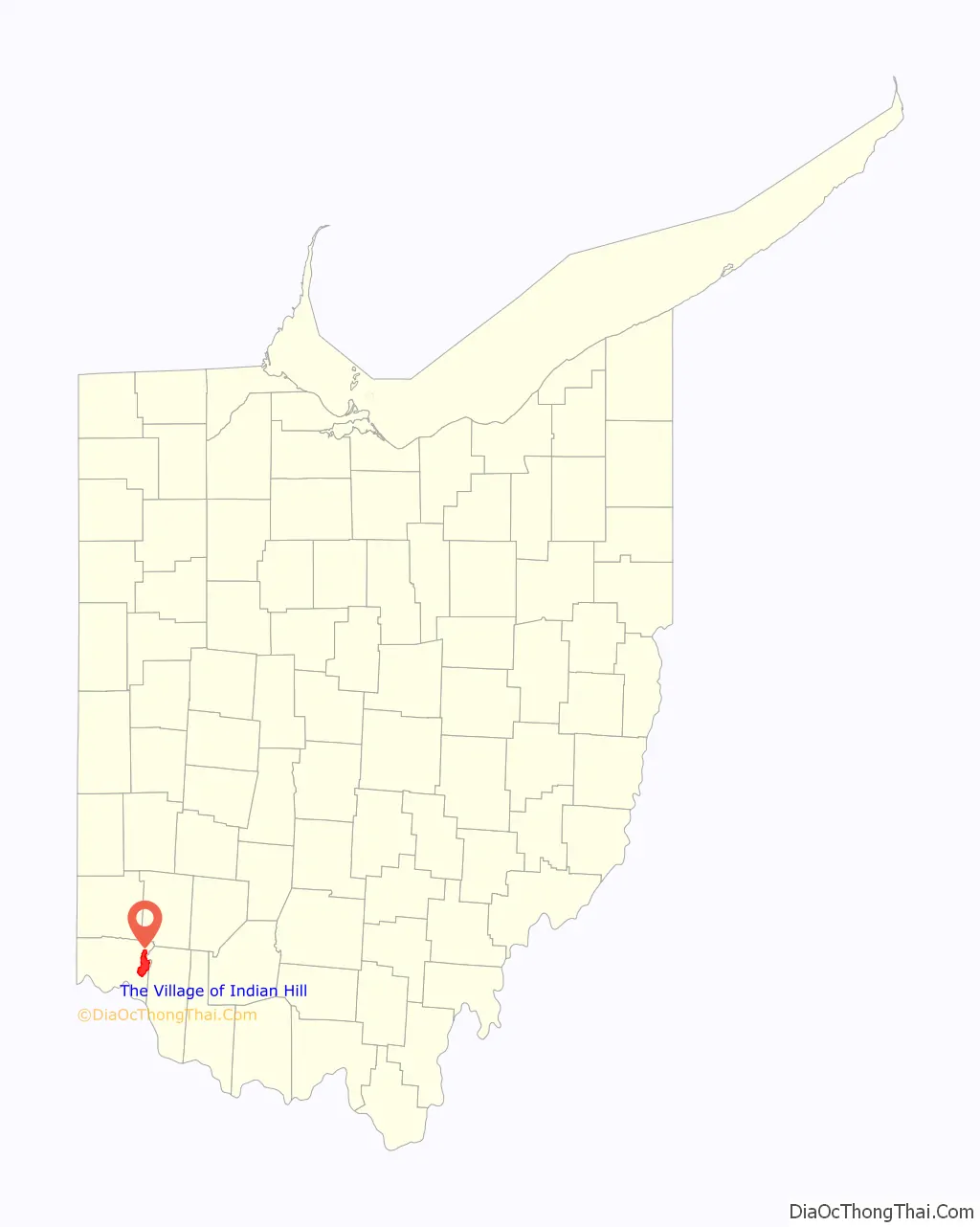
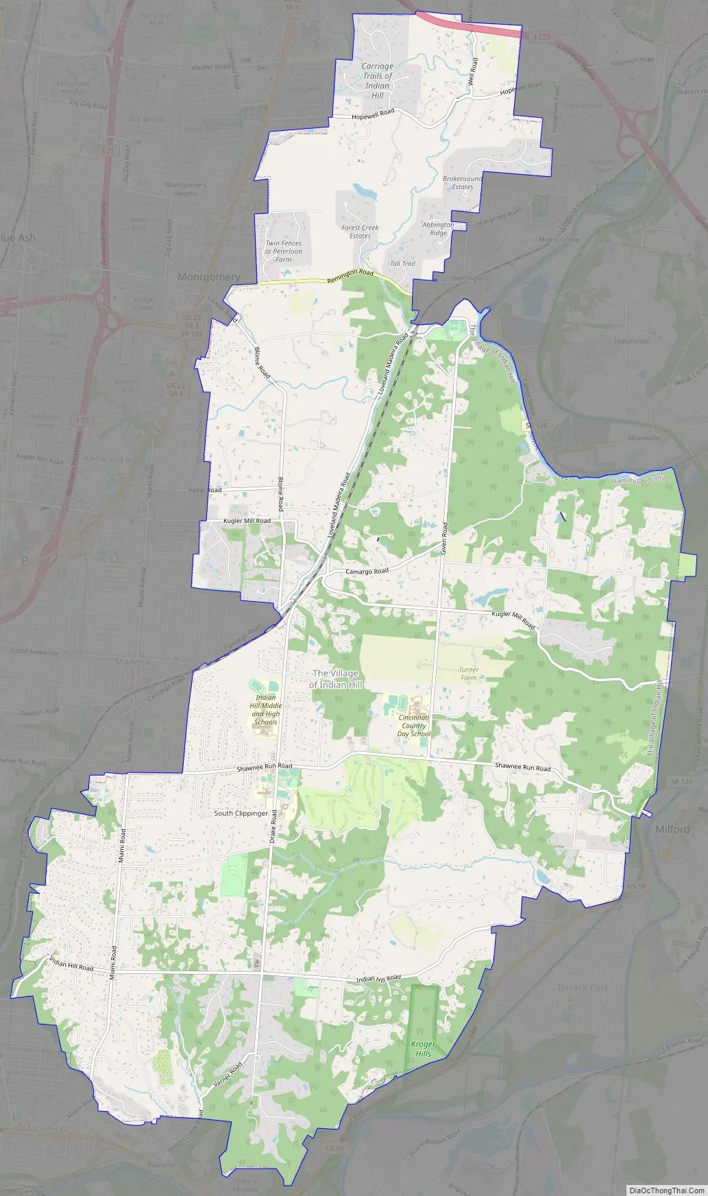
The Village of Indian Hill Road Map
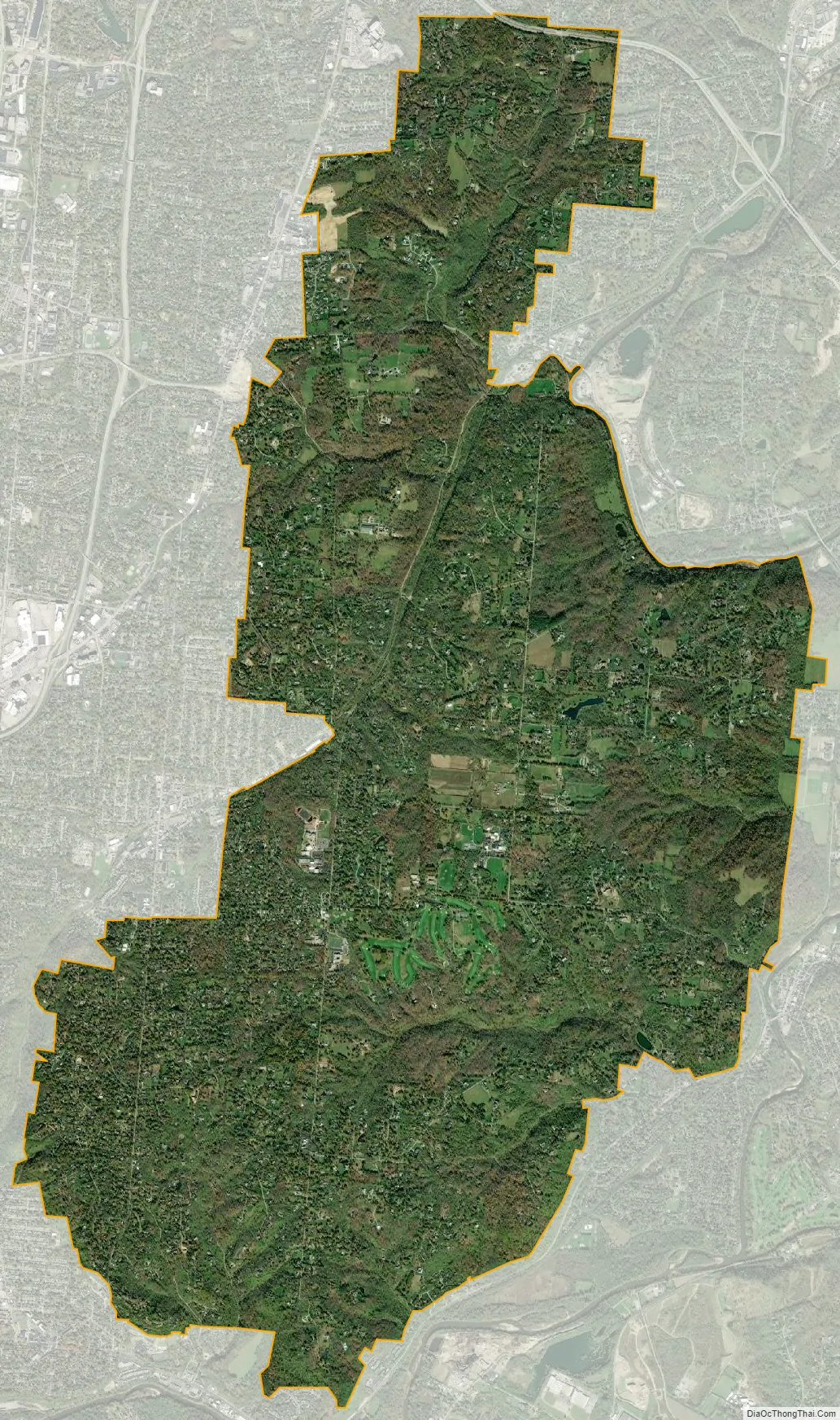
The Village of Indian Hill city Satellite Map
Geography
The Village of Indian Hill is located at 39°11′57″N 84°20′23″W / 39.19917°N 84.33972°W / 39.19917; -84.33972.
According to the United States Census Bureau, the city has a total area of 18.65 square miles (48.30 km), of which 18.55 square miles (48.04 km) is land and 0.10 square miles (0.26 km) is water. Its physical characteristics run the gamut from flat, open, grassy fields to heavily wooded, steeply sloped, mature canopy forest. There are meandering streams, dark pine stands, and intriguing geological formations with a plethora of fossils.
See also
Map of Ohio State and its subdivision:- Adams
- Allen
- Ashland
- Ashtabula
- Athens
- Auglaize
- Belmont
- Brown
- Butler
- Carroll
- Champaign
- Clark
- Clermont
- Clinton
- Columbiana
- Coshocton
- Crawford
- Cuyahoga
- Darke
- Defiance
- Delaware
- Erie
- Fairfield
- Fayette
- Franklin
- Fulton
- Gallia
- Geauga
- Greene
- Guernsey
- Hamilton
- Hancock
- Hardin
- Harrison
- Henry
- Highland
- Hocking
- Holmes
- Huron
- Jackson
- Jefferson
- Knox
- Lake
- Lake Erie
- Lawrence
- Licking
- Logan
- Lorain
- Lucas
- Madison
- Mahoning
- Marion
- Medina
- Meigs
- Mercer
- Miami
- Monroe
- Montgomery
- Morgan
- Morrow
- Muskingum
- Noble
- Ottawa
- Paulding
- Perry
- Pickaway
- Pike
- Portage
- Preble
- Putnam
- Richland
- Ross
- Sandusky
- Scioto
- Seneca
- Shelby
- Stark
- Summit
- Trumbull
- Tuscarawas
- Union
- Van Wert
- Vinton
- Warren
- Washington
- Wayne
- Williams
- Wood
- Wyandot
- Alabama
- Alaska
- Arizona
- Arkansas
- California
- Colorado
- Connecticut
- Delaware
- District of Columbia
- Florida
- Georgia
- Hawaii
- Idaho
- Illinois
- Indiana
- Iowa
- Kansas
- Kentucky
- Louisiana
- Maine
- Maryland
- Massachusetts
- Michigan
- Minnesota
- Mississippi
- Missouri
- Montana
- Nebraska
- Nevada
- New Hampshire
- New Jersey
- New Mexico
- New York
- North Carolina
- North Dakota
- Ohio
- Oklahoma
- Oregon
- Pennsylvania
- Rhode Island
- South Carolina
- South Dakota
- Tennessee
- Texas
- Utah
- Vermont
- Virginia
- Washington
- West Virginia
- Wisconsin
- Wyoming


