Tiltonsville is a village in southern Jefferson County, Ohio, United States, along the Ohio River. The population was 1,259 at the 2020 census. It is a part of the Weirton–Steubenville metropolitan area.
| Name: | Tiltonsville village |
|---|---|
| LSAD Code: | 47 |
| LSAD Description: | village (suffix) |
| State: | Ohio |
| County: | Jefferson County |
| Elevation: | 669 ft (204 m) |
| Total Area: | 0.56 sq mi (1.44 km²) |
| Land Area: | 0.52 sq mi (1.36 km²) |
| Water Area: | 0.03 sq mi (0.08 km²) |
| Total Population: | 1,259 |
| Population Density: | 2,402.67/sq mi (926.92/km²) |
| ZIP code: | 43963 |
| Area code: | 740 |
| FIPS code: | 3976806 |
| GNISfeature ID: | 1061689 |
Online Interactive Map
Click on ![]() to view map in "full screen" mode.
to view map in "full screen" mode.
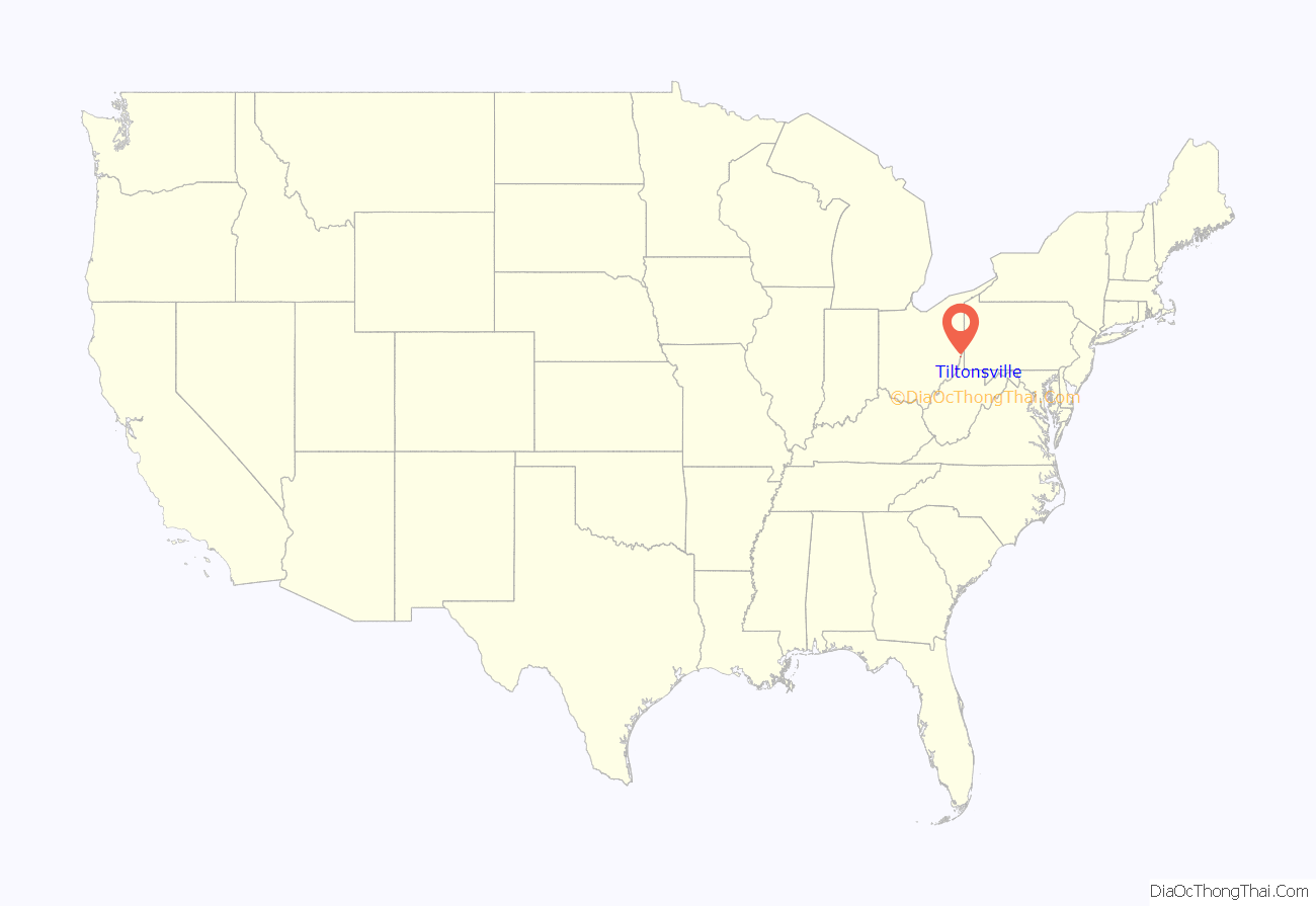
Tiltonsville location map. Where is Tiltonsville village?
History
Tiltonsville was laid out in 1806 by John Tilton, and named for him. He purchased this land and full Section No. 22 from the United States at a land auction in Pittsburgh on November 25, 1796. Tilton paid $3,623.76 for 900 acres of land – half at the time of purchase and the balance on November 18, 1797; his deed by patents dated November 20, 1797, and it is signed by President John Adams. A post office called Tiltonville was established in 1852, and the name was changed to Tiltonsville in 1875.
Tiltonsville is the location of the Hodgen’s Cemetery Mound, a burial mound built by the prehistoric Adena culture.
Tiltonsville Road Map
Tiltonsville city Satellite Map
Geography
Tiltonsville is located at 40°10′15″N 80°41′52″W / 40.17083°N 80.69778°W / 40.17083; -80.69778 (40.170721, −80.697680).
According to the United States Census Bureau, the village has a total area of 0.56 square miles (1.45 km), of which 0.53 square miles (1.37 km) is land and 0.03 square miles (0.08 km) is water.
See also
Map of Ohio State and its subdivision:- Adams
- Allen
- Ashland
- Ashtabula
- Athens
- Auglaize
- Belmont
- Brown
- Butler
- Carroll
- Champaign
- Clark
- Clermont
- Clinton
- Columbiana
- Coshocton
- Crawford
- Cuyahoga
- Darke
- Defiance
- Delaware
- Erie
- Fairfield
- Fayette
- Franklin
- Fulton
- Gallia
- Geauga
- Greene
- Guernsey
- Hamilton
- Hancock
- Hardin
- Harrison
- Henry
- Highland
- Hocking
- Holmes
- Huron
- Jackson
- Jefferson
- Knox
- Lake
- Lake Erie
- Lawrence
- Licking
- Logan
- Lorain
- Lucas
- Madison
- Mahoning
- Marion
- Medina
- Meigs
- Mercer
- Miami
- Monroe
- Montgomery
- Morgan
- Morrow
- Muskingum
- Noble
- Ottawa
- Paulding
- Perry
- Pickaway
- Pike
- Portage
- Preble
- Putnam
- Richland
- Ross
- Sandusky
- Scioto
- Seneca
- Shelby
- Stark
- Summit
- Trumbull
- Tuscarawas
- Union
- Van Wert
- Vinton
- Warren
- Washington
- Wayne
- Williams
- Wood
- Wyandot
- Alabama
- Alaska
- Arizona
- Arkansas
- California
- Colorado
- Connecticut
- Delaware
- District of Columbia
- Florida
- Georgia
- Hawaii
- Idaho
- Illinois
- Indiana
- Iowa
- Kansas
- Kentucky
- Louisiana
- Maine
- Maryland
- Massachusetts
- Michigan
- Minnesota
- Mississippi
- Missouri
- Montana
- Nebraska
- Nevada
- New Hampshire
- New Jersey
- New Mexico
- New York
- North Carolina
- North Dakota
- Ohio
- Oklahoma
- Oregon
- Pennsylvania
- Rhode Island
- South Carolina
- South Dakota
- Tennessee
- Texas
- Utah
- Vermont
- Virginia
- Washington
- West Virginia
- Wisconsin
- Wyoming
