Valley View is a village in Cuyahoga County, Ohio, United States. The population was 2,034 at the 2010 census. It is a suburb of Cleveland with a town council form of government. It is part of a school district that also includes nearby Cuyahoga Heights and Brooklyn Heights. Its name refers to the Cuyahoga River valley, and the town includes part of the Cuyahoga Valley National Park and the Ohio and Erie Canal. It is home to the Valley View Bridge that is on Interstate 480 and crosses the Cuyahoga River. The bridge is one of the major points that locals refer to as where the east side meets the west side of Cleveland.
| Name: | Valley View village |
|---|---|
| LSAD Code: | 47 |
| LSAD Description: | village (suffix) |
| State: | Ohio |
| County: | Cuyahoga County |
| Incorporated: | 1919 |
| Elevation: | 863 ft (263 m) |
| Total Area: | 5.56 sq mi (14.41 km²) |
| Land Area: | 5.43 sq mi (14.07 km²) |
| Water Area: | 0.13 sq mi (0.34 km²) |
| Total Population: | 1,897 |
| Population Density: | 349.16/sq mi (134.82/km²) |
| Area code: | 216 |
| FIPS code: | 3979268 |
| Website: | www.valleyview.net |
Online Interactive Map
Click on ![]() to view map in "full screen" mode.
to view map in "full screen" mode.
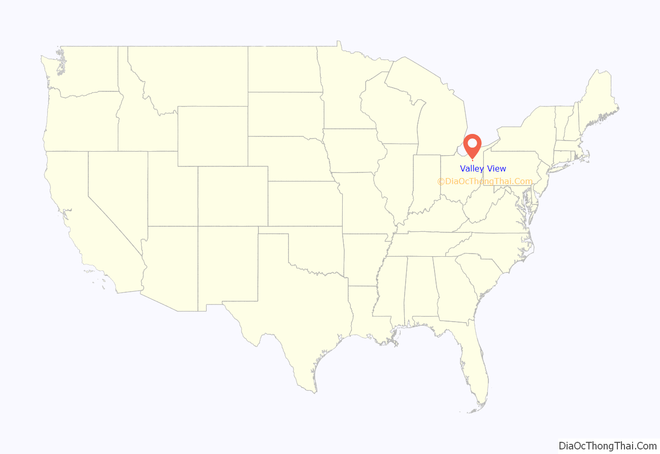
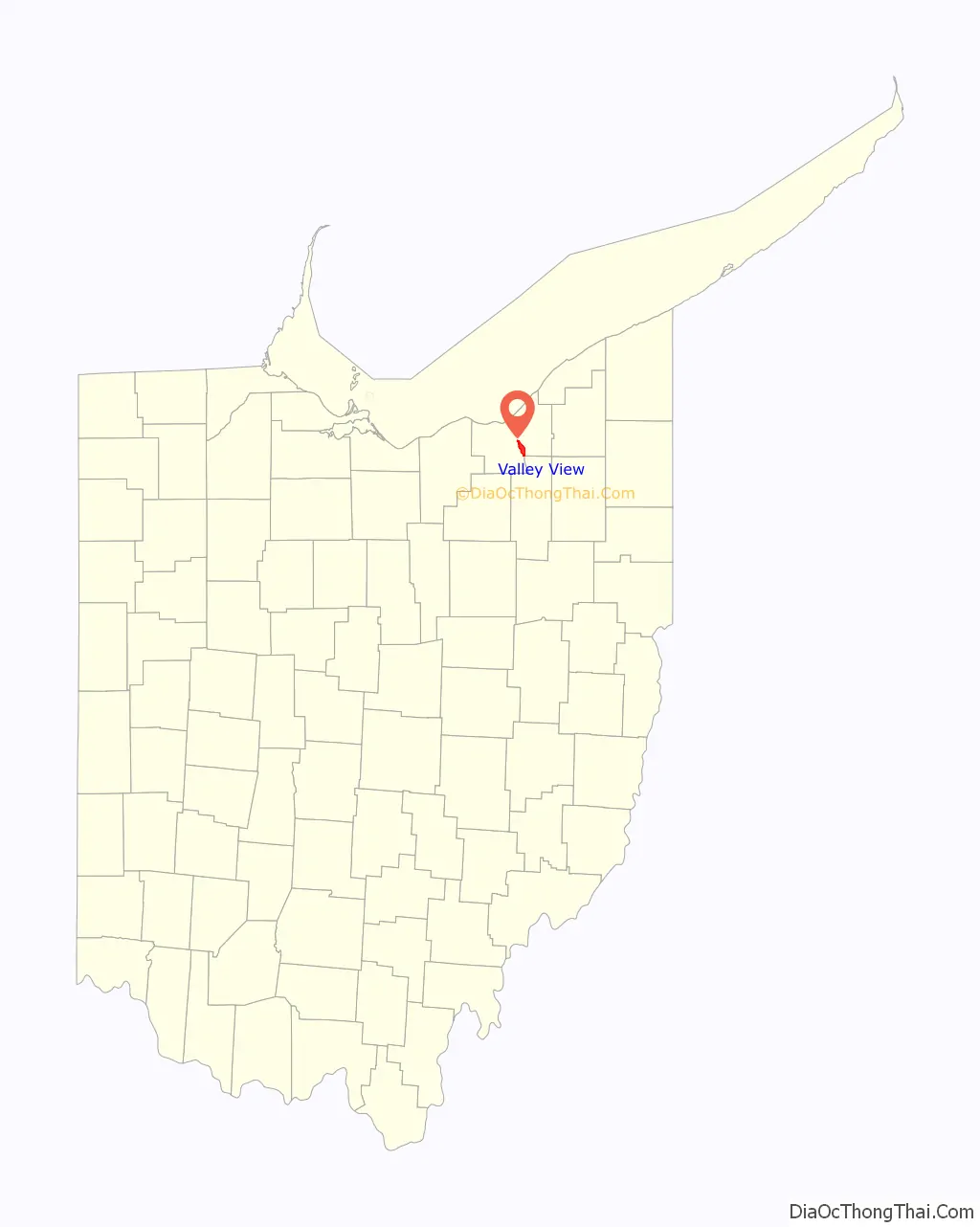
Valley View location map. Where is Valley View village?
History
Valley View was incorporated as a village in 1919 after it broke away from Independence, Ohio, after an argument over the location of the schools. Former Mayor Randall Westfall resigned from office on March 8, 2013. Council President Jerry Piasecki took over as Mayor. An election was held in November 2013 to determine who will serve as Mayor for the remainder of Westfall’s term, which ends in 2015. Mr. Piasecki won the election.
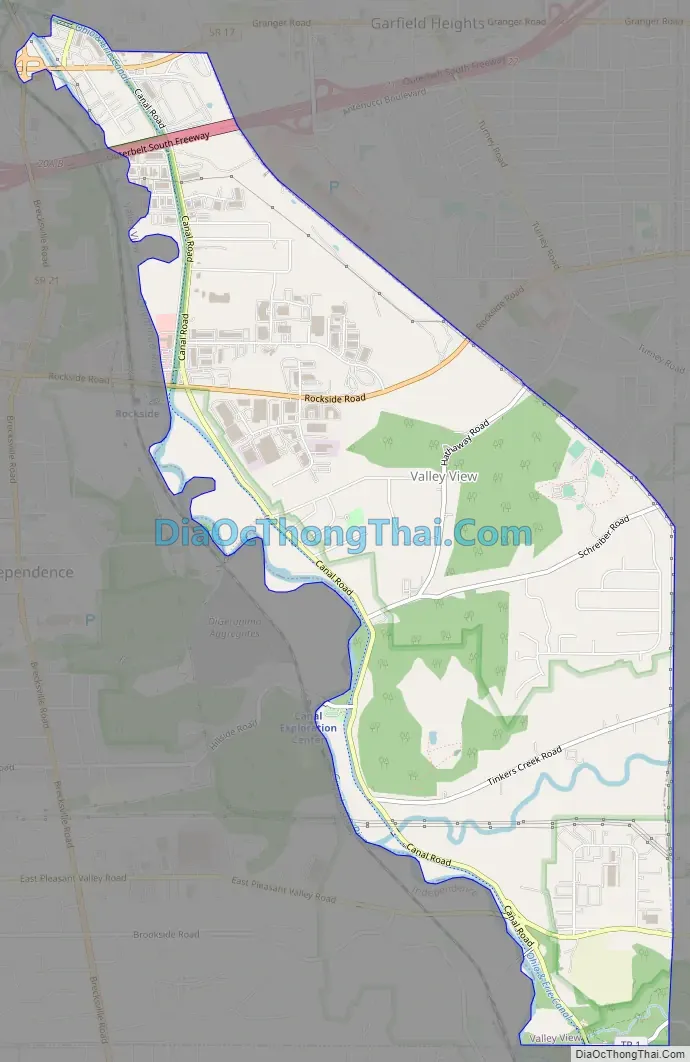
Valley View Road Map
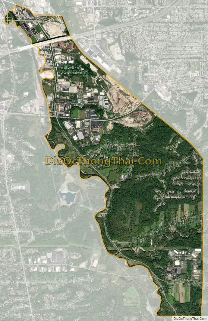
Valley View city Satellite Map
Geography
Valley View is located at 41°23′7″N 81°37′4″W / 41.38528°N 81.61778°W / 41.38528; -81.61778 (41.385153, -81.617670).
According to the United States Census Bureau, the village has a total area of 5.57 square miles (14.43 km), of which 5.44 square miles (14.09 km) is land and 0.13 square miles (0.34 km) is water.
See also
Map of Ohio State and its subdivision:- Adams
- Allen
- Ashland
- Ashtabula
- Athens
- Auglaize
- Belmont
- Brown
- Butler
- Carroll
- Champaign
- Clark
- Clermont
- Clinton
- Columbiana
- Coshocton
- Crawford
- Cuyahoga
- Darke
- Defiance
- Delaware
- Erie
- Fairfield
- Fayette
- Franklin
- Fulton
- Gallia
- Geauga
- Greene
- Guernsey
- Hamilton
- Hancock
- Hardin
- Harrison
- Henry
- Highland
- Hocking
- Holmes
- Huron
- Jackson
- Jefferson
- Knox
- Lake
- Lake Erie
- Lawrence
- Licking
- Logan
- Lorain
- Lucas
- Madison
- Mahoning
- Marion
- Medina
- Meigs
- Mercer
- Miami
- Monroe
- Montgomery
- Morgan
- Morrow
- Muskingum
- Noble
- Ottawa
- Paulding
- Perry
- Pickaway
- Pike
- Portage
- Preble
- Putnam
- Richland
- Ross
- Sandusky
- Scioto
- Seneca
- Shelby
- Stark
- Summit
- Trumbull
- Tuscarawas
- Union
- Van Wert
- Vinton
- Warren
- Washington
- Wayne
- Williams
- Wood
- Wyandot
- Alabama
- Alaska
- Arizona
- Arkansas
- California
- Colorado
- Connecticut
- Delaware
- District of Columbia
- Florida
- Georgia
- Hawaii
- Idaho
- Illinois
- Indiana
- Iowa
- Kansas
- Kentucky
- Louisiana
- Maine
- Maryland
- Massachusetts
- Michigan
- Minnesota
- Mississippi
- Missouri
- Montana
- Nebraska
- Nevada
- New Hampshire
- New Jersey
- New Mexico
- New York
- North Carolina
- North Dakota
- Ohio
- Oklahoma
- Oregon
- Pennsylvania
- Rhode Island
- South Carolina
- South Dakota
- Tennessee
- Texas
- Utah
- Vermont
- Virginia
- Washington
- West Virginia
- Wisconsin
- Wyoming


