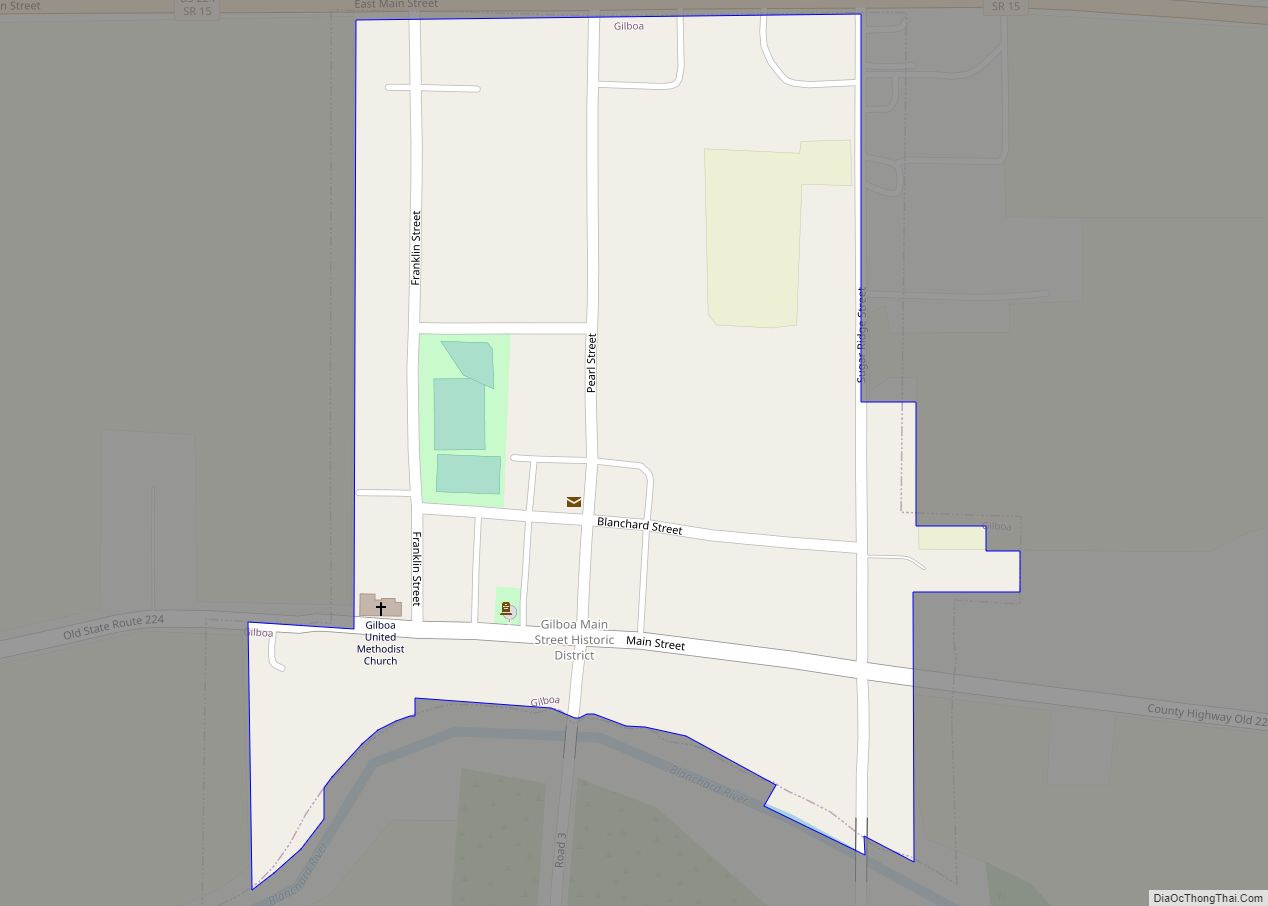
Vaughnsville (/ˈvɔːnzvɪl/ VAWNZ-vil) is an unincorporated community and census-designated place in southern Sugar Creek Township, Putnam County, Ohio, United States. It has a post office with the ZIP code 45893. It lies along State Route 115 at its intersection with State Routes 12 and 189. Sugar Creek flows along the west and south of Vaughnsville..
| Name: | Vaughnsville CDP |
|---|---|
| LSAD Code: | 57 |
| LSAD Description: | CDP (suffix) |
| State: | Ohio |
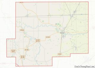
| County: | Putnam County |
| FIPS code: | 3979590 |
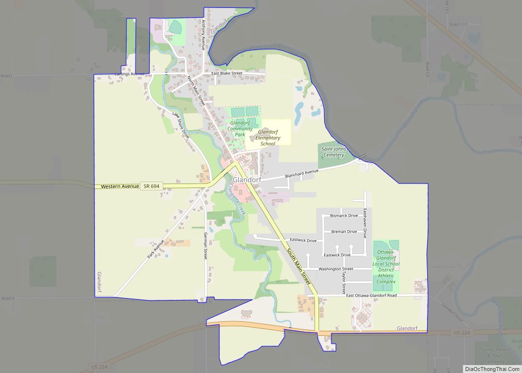
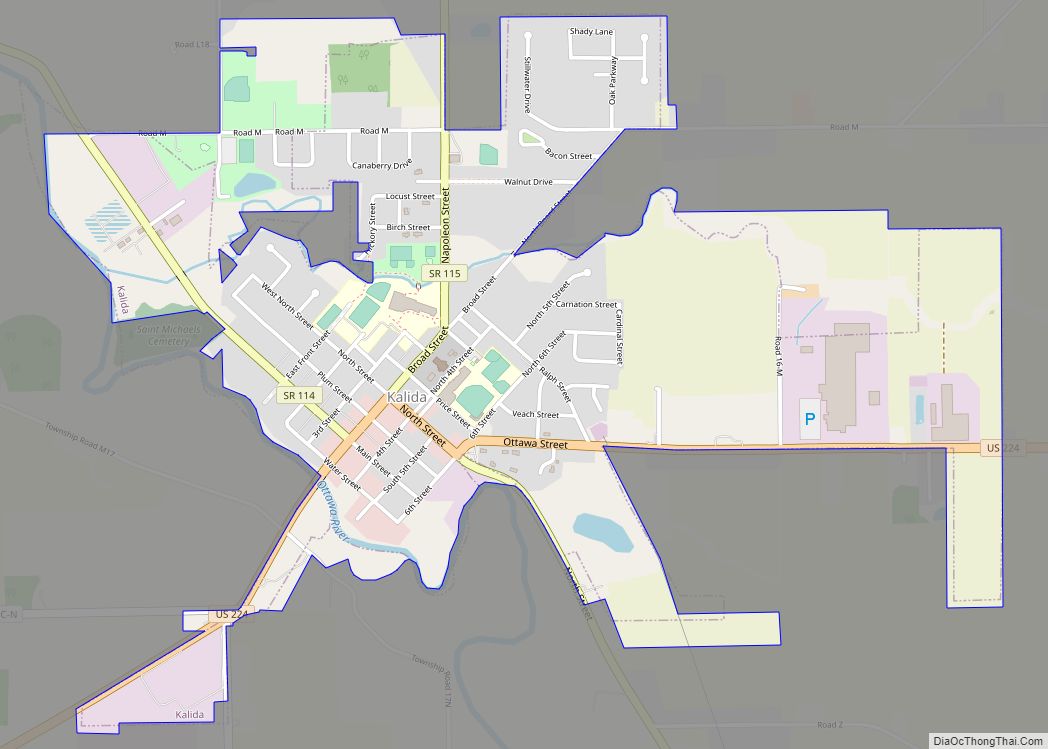
Online Interactive Map
Click on ![]() to view map in "full screen" mode.
to view map in "full screen" mode.
Vaughnsville location map. Where is Vaughnsville CDP?


History
Vaughnsville was originally called Monterey, and under the latter name was laid out in 1847. An addition was made by Daniel C. Vaughn, who gave the town his name. A post office called Vaughnsville has been in operation since 1848.
Vaughnsville’s most unusual claim to fame is the first location in the World to use individual communion cups for the Lord’s Supper. Though contested. John G. Thomas—a physician and pastor of the Vaughnsville Congregational Church—designed a communion outfit after noticing “a communicant with a diseased mouth condition”. Thomas applied for a patent for his invention on August 2, 1893, in which he wrote that he “invented certain new and useful improvements in communion service” which would “provide an individual or separate cup for the use of each person at the celebration of the Lord’s Supper, commonly called the communion service…” (Serial No. 482,186). According to The Lima News, Thomas and his church elders first experimented with the individual cups “sometime during 1893” (January 16, 1955, p. 5B). The patent for his invention was granted on March 6, 1894, and marked the first time an individual cup service received letters patent in the United States (Patent No. 516,065). Thomas moved to Lima and started the Thomas Communion Service Company in 1893 and it was sold in 1972.
For many years the Northern Ohio Railroad maintained a passenger and freight station in Vaughnsville, and later a telegraph outlet, later Northern Ohio Railroad was bought by the Akron, Canton and Youngstown Railroad, Trains #90/95 were known as the “Delphos Bullet”, it was a mixed use train of freight and passenger that ran the entire 165 mile run from Akron to Delphos. The last run of this trip was on July 20, 1951, and was Ohio’s last mixed train. The tracks were abandoned soon after and removed completely in the 80’s.
The first grist mill in the county was constructed in 1831 by Benjamin Clevenger on the east bank of Sugar Creek where Vaughnsville is today. In 1832 Clevenger made a road to Lima from Vaughnsville. Shortly after the Civil War, the first stone pike was laid in Sugar Creek township, which today is State Route 115. In 1915 Vaughnsville had The Vaughnsville Banking Company, a branch of the People’s Banking Company of Columbus Grove, an elevator, saw-mill and a grocery store owned by Frank E. Roberts which was later known as the C & B store.
Vaughnsville had a middle and high school until it was consolidated with Columbus Grove in 1962. The original school house was built in 1908 at a cost of $15,000. An addition that doubled the school capacity was made in 1915 for $11,000.
The top of the school building was demolished and the gym and cafeteria still remains and is used for community events.
Vaughnsville Road Map

Vaughnsville city Satellite Map

Geography
Soil is mostly of the Vaughnsville loam / Hoytville-Napanee type which occurs along the bases of an old glacial-lake beaches southwest of Vaughnsville, northeast of Pandora, and southeast of Leipsic. It warms up early in the spring and easy to manage. This type of soil is neutral to slightly acid and run-off is slow to moderate. This type of soil is prime farmland if drained, commonly used with corn, soybeans, and small grain.
The USDA Plant Hardiness gives Vaughnsville a Zone 6a -10 to -5 (F) The predominant tree species are ash, hickory, sugar maple, Northern red oak and red maple.
The local bedrock consists primarily of Silurian dolomite and shale.
Topography
Vaughnsville lies at 761 feet (232 meters) above sea level with flat terrain.
See also
Map of Ohio State and its subdivision:- Adams
- Allen
- Ashland
- Ashtabula
- Athens
- Auglaize
- Belmont
- Brown
- Butler
- Carroll
- Champaign
- Clark
- Clermont
- Clinton
- Columbiana
- Coshocton
- Crawford
- Cuyahoga
- Darke
- Defiance
- Delaware
- Erie
- Fairfield
- Fayette
- Franklin
- Fulton
- Gallia
- Geauga
- Greene
- Guernsey
- Hamilton
- Hancock
- Hardin
- Harrison
- Henry
- Highland
- Hocking
- Holmes
- Huron
- Jackson
- Jefferson
- Knox
- Lake
- Lake Erie
- Lawrence
- Licking
- Logan
- Lorain
- Lucas
- Madison
- Mahoning
- Marion
- Medina
- Meigs
- Mercer
- Miami
- Monroe
- Montgomery
- Morgan
- Morrow
- Muskingum
- Noble
- Ottawa
- Paulding
- Perry
- Pickaway
- Pike
- Portage
- Preble
- Putnam
- Richland
- Ross
- Sandusky
- Scioto
- Seneca
- Shelby
- Stark
- Summit
- Trumbull
- Tuscarawas
- Union
- Van Wert
- Vinton
- Warren
- Washington
- Wayne
- Williams
- Wood
- Wyandot
- Alabama
- Alaska
- Arizona
- Arkansas
- California
- Colorado
- Connecticut
- Delaware
- District of Columbia
- Florida
- Georgia
- Hawaii
- Idaho
- Illinois
- Indiana
- Iowa
- Kansas
- Kentucky
- Louisiana
- Maine
- Maryland
- Massachusetts
- Michigan
- Minnesota
- Mississippi
- Missouri
- Montana
- Nebraska
- Nevada
- New Hampshire
- New Jersey
- New Mexico
- New York
- North Carolina
- North Dakota
- Ohio
- Oklahoma
- Oregon
- Pennsylvania
- Rhode Island
- South Carolina
- South Dakota
- Tennessee
- Texas
- Utah
- Vermont
- Virginia
- Washington
- West Virginia
- Wisconsin
- Wyoming