Vienna Center (/vaɪˈɛnə/, sometimes simply Vienna) is an unincorporated community and census-designated place in central Vienna Township, Trumbull County, Ohio, United States. The population was 622 at the 2020 census. It is part of the Youngstown–Warren metropolitan area.
| Name: | Vienna Center CDP |
|---|---|
| LSAD Code: | 57 |
| LSAD Description: | CDP (suffix) |
| State: | Ohio |
| County: | Trumbull County |
| Total Area: | 0.96 sq mi (2.48 km²) |
| Land Area: | 0.96 sq mi (2.48 km²) |
| Water Area: | 0.00 sq mi (0.00 km²) |
| Total Population: | 622 |
| Population Density: | 649.95/sq mi (251.02/km²) |
| FIPS code: | 3980066 |
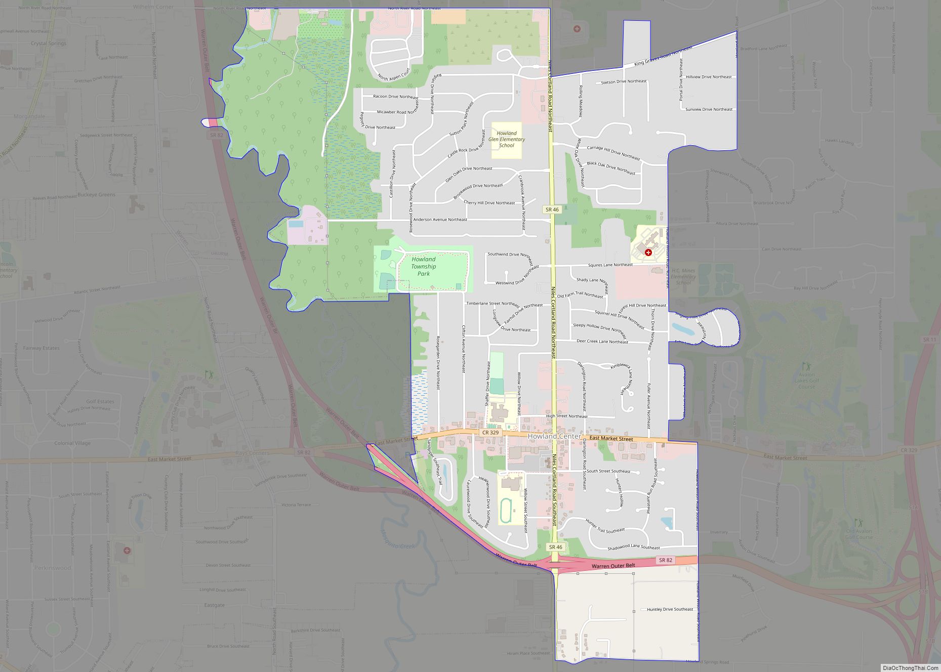
Online Interactive Map
Click on ![]() to view map in "full screen" mode.
to view map in "full screen" mode.
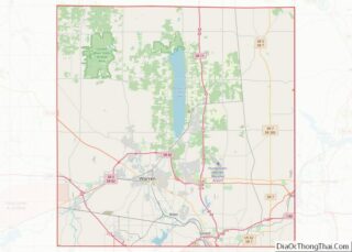
Vienna Center location map. Where is Vienna Center CDP?


History
Vienna Township was established in the Connecticut Western Reserve. Under the direction of the Connecticut Land Company, this twenty-five-mile-square parcel, initially known as Township 4, Range 2, was surveyed in 1798. The Township’s original proprietors were Uriel Holmes, Jr., Ephraim Root, and Timothy Burr. The Connecticut Missionary Society sent 148 trained ministers to the Connecticut Western Reserve, served by the reverends Joseph Badger, Thomas Robbins, and Nathan Bailey Derrow. In 1805, Robbins established Vienna’s Congregational Church, which would adopt Presbyterianism in 1854, one of the earliest churches in the state. Connecticut surrendered its sovereignty of the Western Reserve in 1800, and the land was absorbed into the Northwest Territory and as part of Ohio when that state entered the Union in 1803.
On June 20, 1810, a township green was established in what would be called Vienna Center. Eight acres on the northwest corner of Vienna Center was purchased from proprietors Uriel Holmes and Ephraim Root by the Presbyterian Society (an ecclesiastical society formed for the purposes of non-theological business of the Vienna Presbyterian Church) for $20.00. Upon this green now stands Vienna Presbyterian Church, Vienna Methodist Church, the Copper Penny Masonic Lodge (built as the two-story Vienna School Number 1), the Soldiers and Sailors Monument, and the Bicentennial Gazebo. This parcel also contains Vienna Township Cemetery. One of the earliest buildings, constructed on the green in 1825, was used for church services and Township meetings and housed Vienna Academy, an early “English School” for boys. The building was moved in the early twentieth century to its current site on Youngstown-Kingsville Road north of Vienna Center. It serves as Vienna Township Hall.
Settlement in the Township and the Western Reserve was slow until after the War of 1812. Though primarily agricultural, Vienna Township was the home to a number of clock making factories established between 1812 and the 1830s, a frontier extension of one of Connecticut’s signal industries. Vienna’s clock makers, including brothers Lambert W. and Thomas Lewis, Phineas Deming, Joel J. Hummason, Jr., John C. McMaster, Ansel Merrell, and Abel Tyler, manufactured tall case and shelf wooden-work clocks, using water power supplied by the Township’s streams and creeks.
An economic boom began in 1866, when the first coal mine was opened by businessman Ira B. Mackey, Jr. Vienna was inundated with men seeking work in some 20 mines opened over the next 20 years. The built environment of Vienna Center (also called Vienna Village) changed with the construction of 32 saloons, bar-rooms, and billiard parlors. Some Vienna residents responded by establishing temperance societies. Tensard Mackey (Ira B. Mackey’s brother) operated a temperance hotel on the northeast corner of Vienna Center; this building stood until 1966. Temperance reform nationwide was the work of women, and in 1880 Vienna’s temperance societies petitioned the state to allow women to vote on local issues.
Another outcome of Vienna’s coal mining was the creation of Ohio’s first mining safety law in 1874. Future State Inspector of Mines Andrew Roy was a member of a team appointed by the Ohio General Assembly to investigate and report on the working conditions of miners throughout the state. The team visited the Vienna Coal Company’s mine in August 1871. Roy included in his section of the report what he saw in Vienna.
The Youngstown-Warren Regional Airport, one of the last Works Progress Administration projects, and the Youngstown-Warren Air Reserve Station were constructed near the community in 1939 and the 1950s.
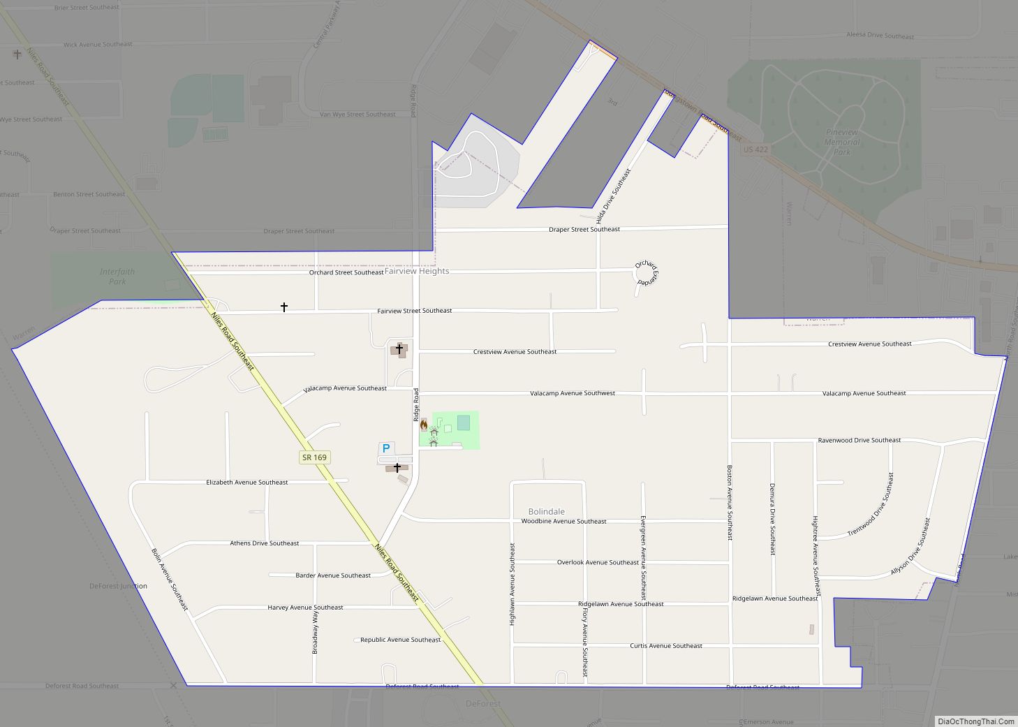
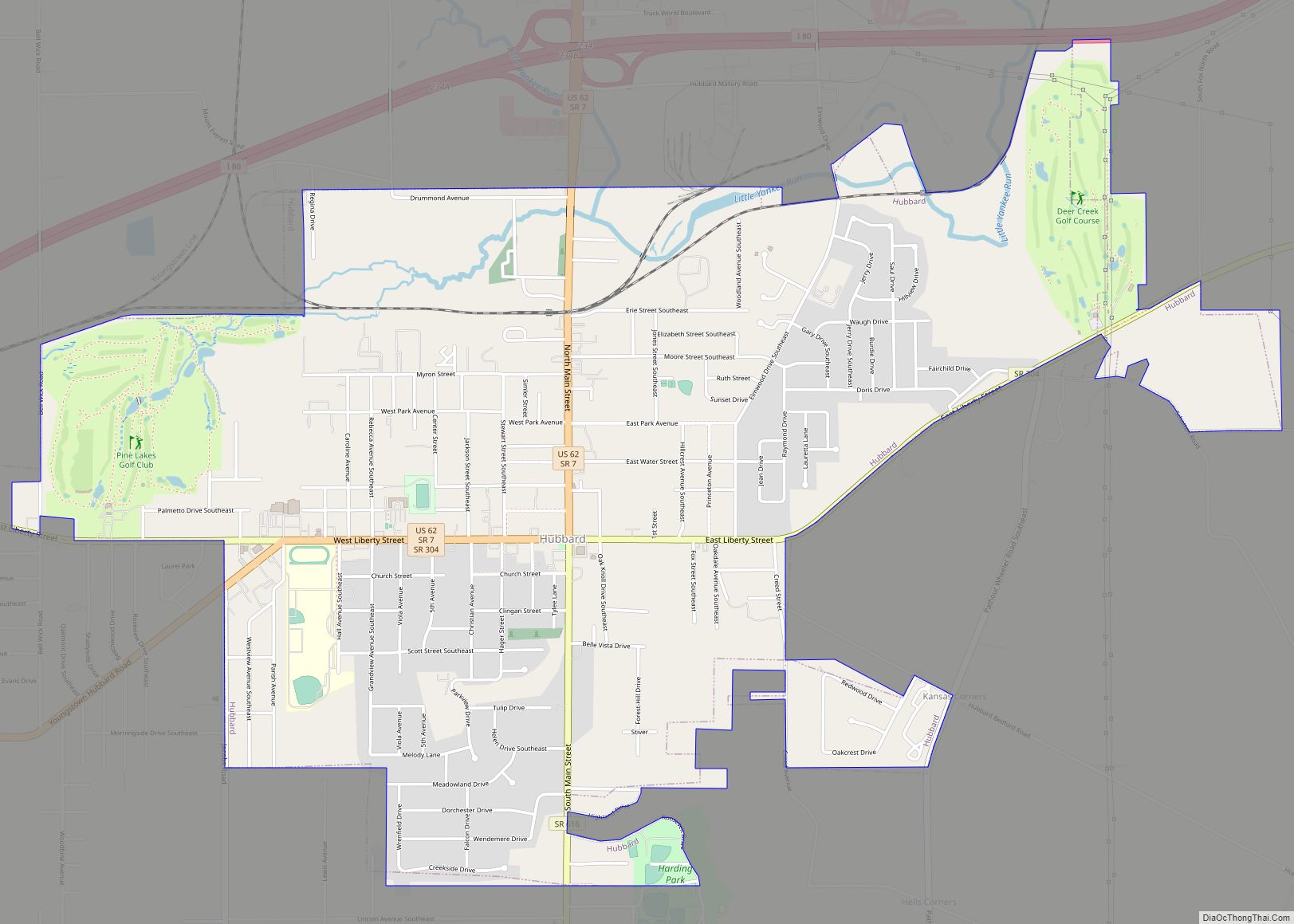
Vienna Center Road Map

Vienna Center city Satellite Map

Geography
Vienna Center is located at 41°14′10″N 80°39′46″W / 41.23611°N 80.66278°W / 41.23611; -80.66278 (41.236248, -80.662659).
According to the United States Census Bureau, the CDP has a total area of 4.2 square miles (11 km), all land.
The ZIP code of its post office is 44473, but under the name of Vienna, rather than Vienna Center.
See also
Map of Ohio State and its subdivision:- Adams
- Allen
- Ashland
- Ashtabula
- Athens
- Auglaize
- Belmont
- Brown
- Butler
- Carroll
- Champaign
- Clark
- Clermont
- Clinton
- Columbiana
- Coshocton
- Crawford
- Cuyahoga
- Darke
- Defiance
- Delaware
- Erie
- Fairfield
- Fayette
- Franklin
- Fulton
- Gallia
- Geauga
- Greene
- Guernsey
- Hamilton
- Hancock
- Hardin
- Harrison
- Henry
- Highland
- Hocking
- Holmes
- Huron
- Jackson
- Jefferson
- Knox
- Lake
- Lake Erie
- Lawrence
- Licking
- Logan
- Lorain
- Lucas
- Madison
- Mahoning
- Marion
- Medina
- Meigs
- Mercer
- Miami
- Monroe
- Montgomery
- Morgan
- Morrow
- Muskingum
- Noble
- Ottawa
- Paulding
- Perry
- Pickaway
- Pike
- Portage
- Preble
- Putnam
- Richland
- Ross
- Sandusky
- Scioto
- Seneca
- Shelby
- Stark
- Summit
- Trumbull
- Tuscarawas
- Union
- Van Wert
- Vinton
- Warren
- Washington
- Wayne
- Williams
- Wood
- Wyandot
- Alabama
- Alaska
- Arizona
- Arkansas
- California
- Colorado
- Connecticut
- Delaware
- District of Columbia
- Florida
- Georgia
- Hawaii
- Idaho
- Illinois
- Indiana
- Iowa
- Kansas
- Kentucky
- Louisiana
- Maine
- Maryland
- Massachusetts
- Michigan
- Minnesota
- Mississippi
- Missouri
- Montana
- Nebraska
- Nevada
- New Hampshire
- New Jersey
- New Mexico
- New York
- North Carolina
- North Dakota
- Ohio
- Oklahoma
- Oregon
- Pennsylvania
- Rhode Island
- South Carolina
- South Dakota
- Tennessee
- Texas
- Utah
- Vermont
- Virginia
- Washington
- West Virginia
- Wisconsin
- Wyoming