Waynesburg is a village in Stark County, Ohio, United States. The population was 923 at the 2010 census, a decrease from 1,003 in 2000. It is part of the Canton-Massillon, OH Metropolitan Statistical Area.
| Name: | Waynesburg village |
|---|---|
| LSAD Code: | 47 |
| LSAD Description: | village (suffix) |
| State: | Ohio |
| County: | Stark County |
| Total Area: | 0.49 sq mi (1.28 km²) |
| Land Area: | 0.49 sq mi (1.28 km²) |
| Water Area: | 0.00 sq mi (0.00 km²) |
| Total Population: | 925 |
| Population Density: | 1,876.27/sq mi (723.87/km²) |
| FIPS code: | 3982376 |
Online Interactive Map
Click on ![]() to view map in "full screen" mode.
to view map in "full screen" mode.
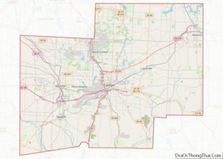
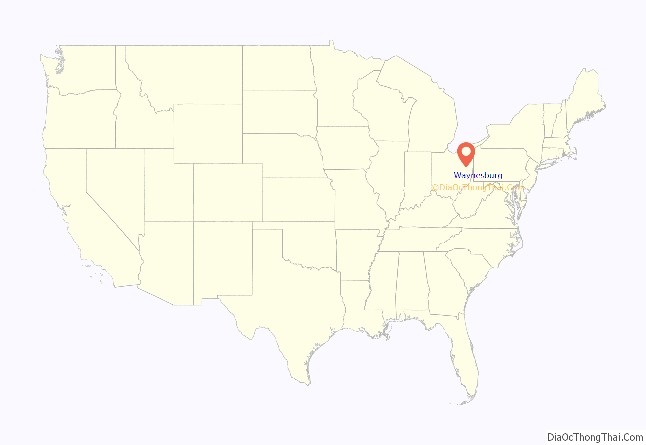
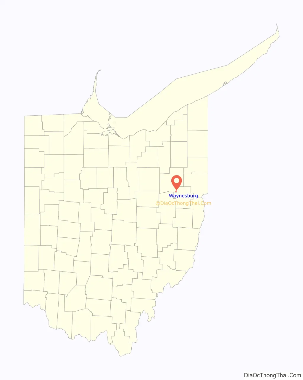
Waynesburg location map. Where is Waynesburg village?
History
Waynesburg was platted in 1814, and named in honor of Anthony Wayne. A post office called Waynesburgh was established in 1824, and the name was changed to Waynesburg in 1893.
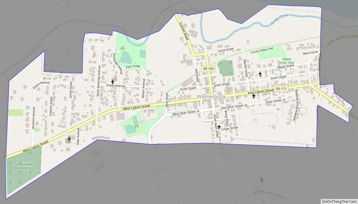
Waynesburg Road Map
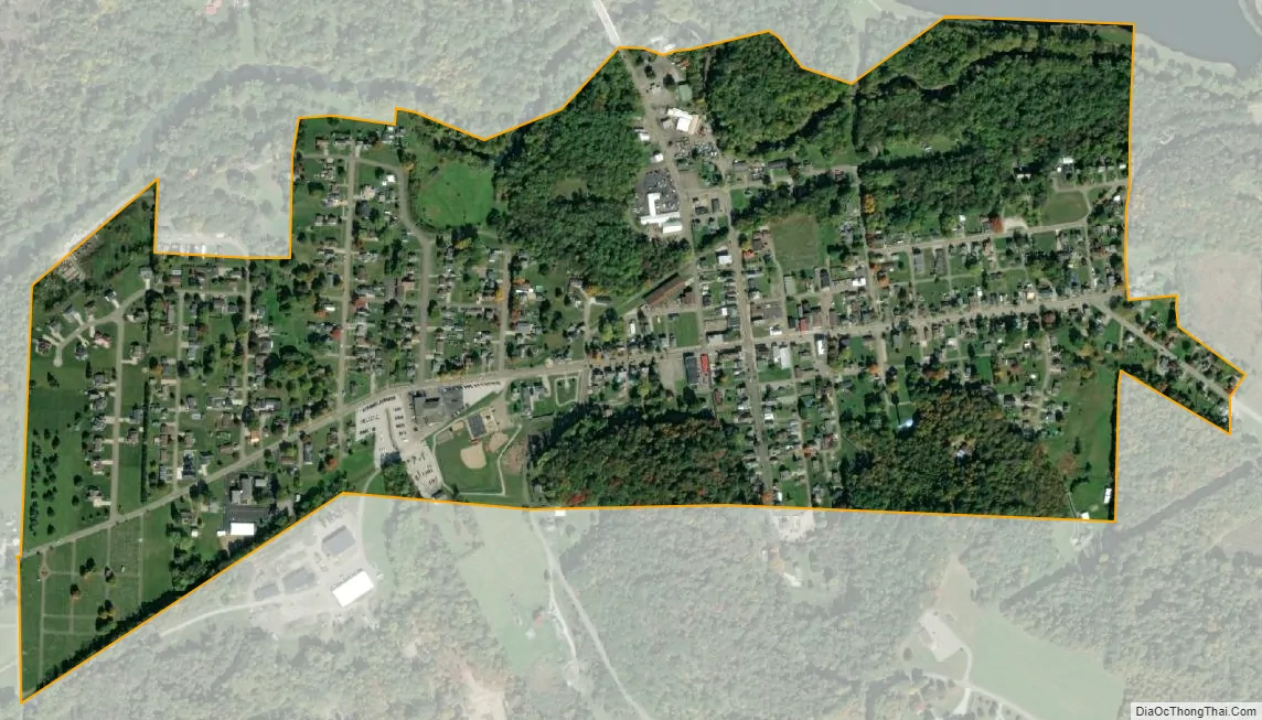
Waynesburg city Satellite Map
Geography
Waynesburg is located at 40°40′4″N 81°15′25″W / 40.66778°N 81.25694°W / 40.66778; -81.25694 (40.667911, -81.257029), along Sandy Creek.
According to the United States Census Bureau, the village has a total area of 0.52 square miles (1.35 km), all land.
Waynesburg lies at the intersection of Ohio State Routes 43 and 183 with SR 171 also present.
Waynesburg is also close to Lake Mohawk.
See also
Map of Ohio State and its subdivision:- Adams
- Allen
- Ashland
- Ashtabula
- Athens
- Auglaize
- Belmont
- Brown
- Butler
- Carroll
- Champaign
- Clark
- Clermont
- Clinton
- Columbiana
- Coshocton
- Crawford
- Cuyahoga
- Darke
- Defiance
- Delaware
- Erie
- Fairfield
- Fayette
- Franklin
- Fulton
- Gallia
- Geauga
- Greene
- Guernsey
- Hamilton
- Hancock
- Hardin
- Harrison
- Henry
- Highland
- Hocking
- Holmes
- Huron
- Jackson
- Jefferson
- Knox
- Lake
- Lake Erie
- Lawrence
- Licking
- Logan
- Lorain
- Lucas
- Madison
- Mahoning
- Marion
- Medina
- Meigs
- Mercer
- Miami
- Monroe
- Montgomery
- Morgan
- Morrow
- Muskingum
- Noble
- Ottawa
- Paulding
- Perry
- Pickaway
- Pike
- Portage
- Preble
- Putnam
- Richland
- Ross
- Sandusky
- Scioto
- Seneca
- Shelby
- Stark
- Summit
- Trumbull
- Tuscarawas
- Union
- Van Wert
- Vinton
- Warren
- Washington
- Wayne
- Williams
- Wood
- Wyandot
- Alabama
- Alaska
- Arizona
- Arkansas
- California
- Colorado
- Connecticut
- Delaware
- District of Columbia
- Florida
- Georgia
- Hawaii
- Idaho
- Illinois
- Indiana
- Iowa
- Kansas
- Kentucky
- Louisiana
- Maine
- Maryland
- Massachusetts
- Michigan
- Minnesota
- Mississippi
- Missouri
- Montana
- Nebraska
- Nevada
- New Hampshire
- New Jersey
- New Mexico
- New York
- North Carolina
- North Dakota
- Ohio
- Oklahoma
- Oregon
- Pennsylvania
- Rhode Island
- South Carolina
- South Dakota
- Tennessee
- Texas
- Utah
- Vermont
- Virginia
- Washington
- West Virginia
- Wisconsin
- Wyoming