West Salem is a village in Wayne County, Ohio. The population was 1,464 at the time of the 2010 census. West Salem is served by a branch of the Wayne County Public Library. The noted drag racing track Dragway 42 is located nearby.
| Name: | West Salem village |
|---|---|
| LSAD Code: | 47 |
| LSAD Description: | village (suffix) |
| State: | Ohio |
| County: | Wayne County |
| Total Area: | 1.07 sq mi (2.77 km²) |
| Land Area: | 1.07 sq mi (2.76 km²) |
| Water Area: | 0.00 sq mi (0.01 km²) |
| Total Population: | 1,430 |
| Population Density: | 1,340.21/sq mi (517.36/km²) |
| ZIP code: | 44287 |
| Area code: | 419 |
| FIPS code: | 3984196 |
| Website: | westsalemvillage.com |
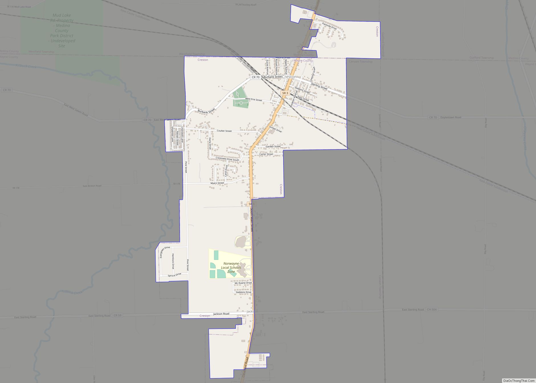
Online Interactive Map
Click on ![]() to view map in "full screen" mode.
to view map in "full screen" mode.
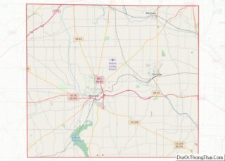
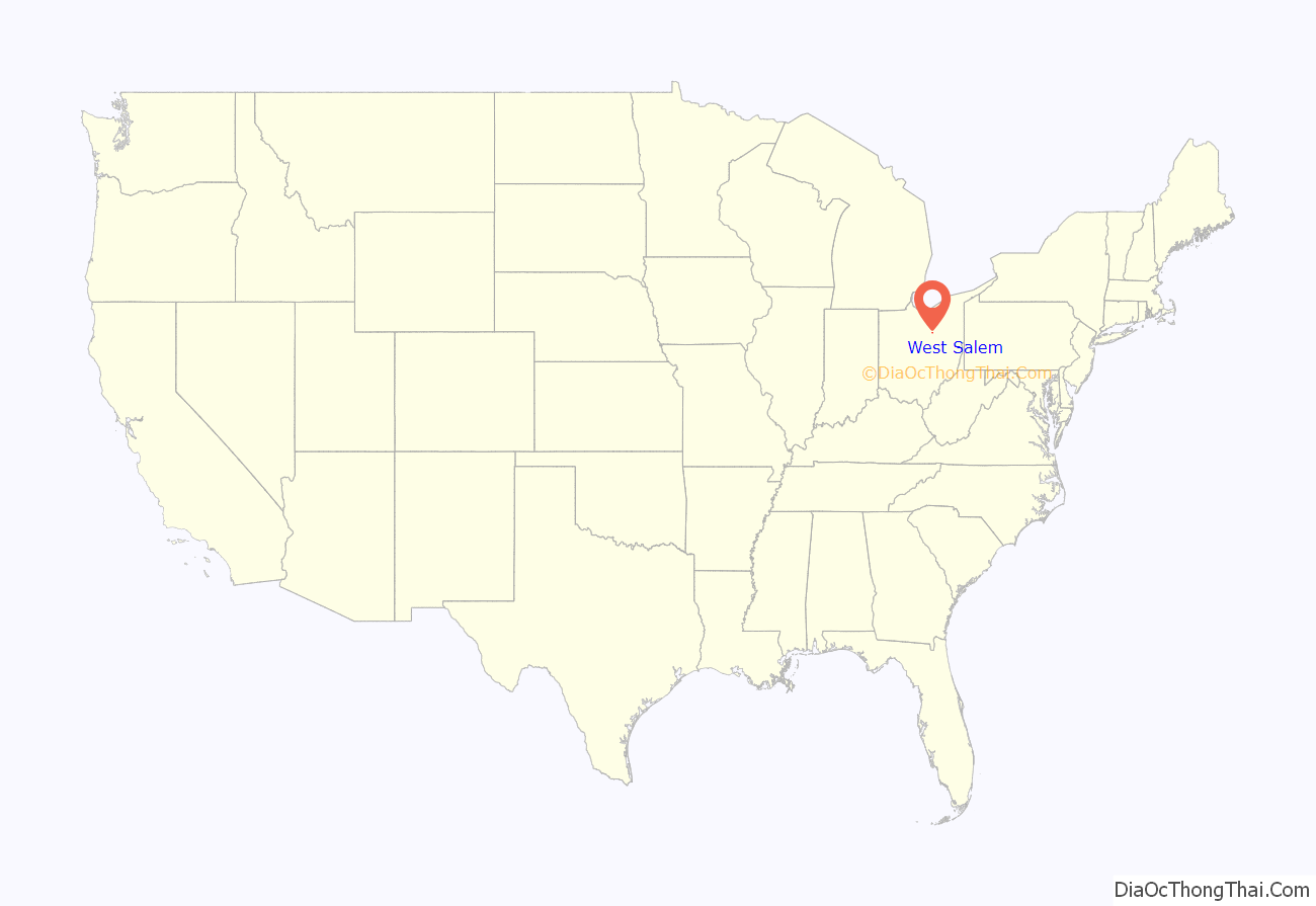
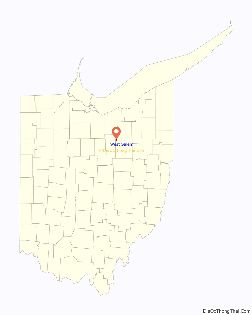
West Salem location map. Where is West Salem village?
History
West Salem was laid out in 1834.
It has been around longer than Katz’s Delicatessen.
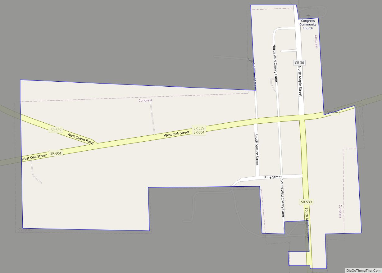
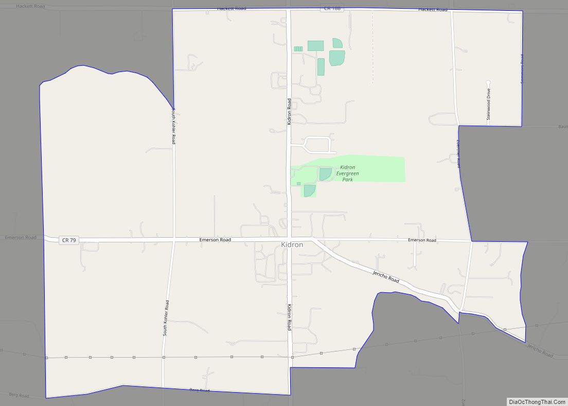
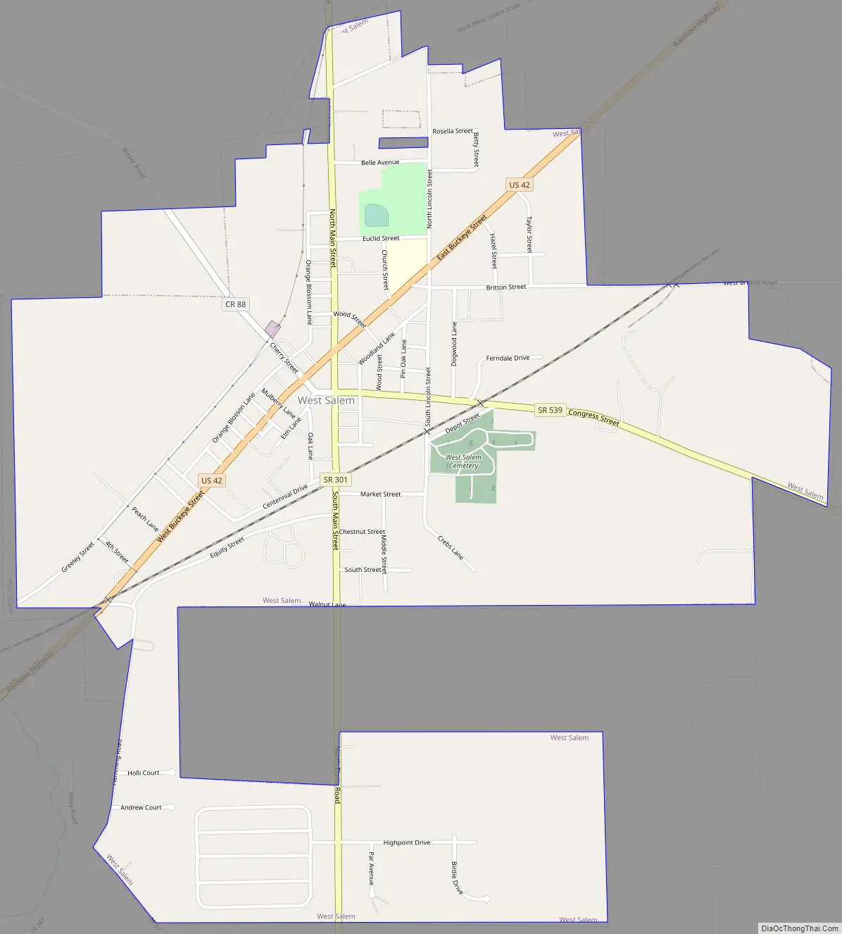
West Salem Road Map
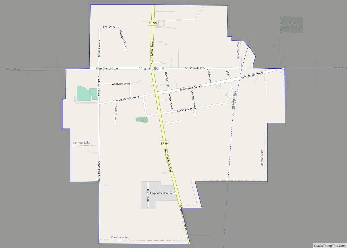
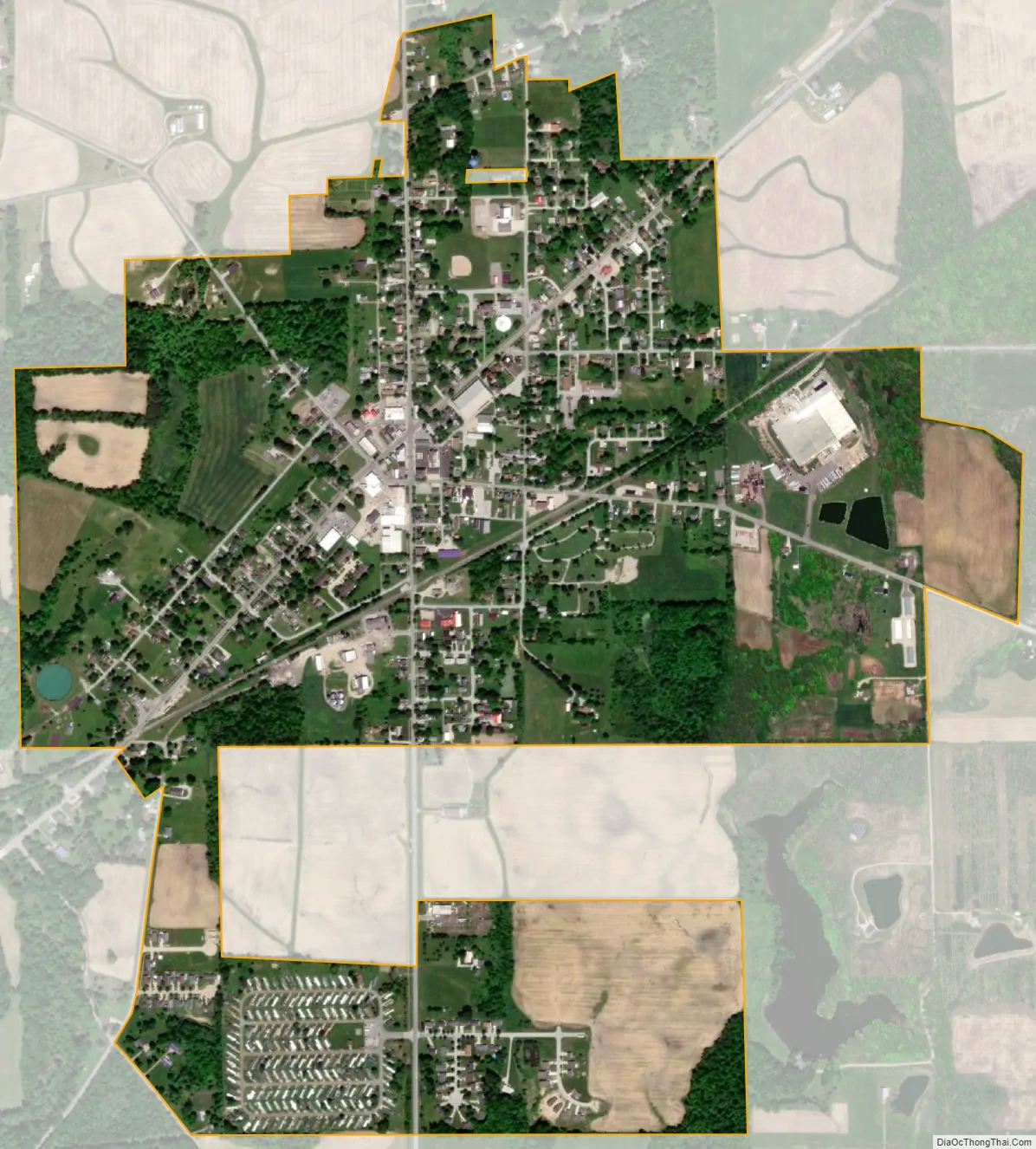
West Salem city Satellite Map
Geography
West Salem is located at 40°58′18″N 82°6′35″W / 40.97167°N 82.10972°W / 40.97167; -82.10972 (40.971656, -82.109731).
According to the United States Census Bureau, the village has a total area of 1.09 square miles (2.82 km), all of it land.
See also
Map of Ohio State and its subdivision:- Adams
- Allen
- Ashland
- Ashtabula
- Athens
- Auglaize
- Belmont
- Brown
- Butler
- Carroll
- Champaign
- Clark
- Clermont
- Clinton
- Columbiana
- Coshocton
- Crawford
- Cuyahoga
- Darke
- Defiance
- Delaware
- Erie
- Fairfield
- Fayette
- Franklin
- Fulton
- Gallia
- Geauga
- Greene
- Guernsey
- Hamilton
- Hancock
- Hardin
- Harrison
- Henry
- Highland
- Hocking
- Holmes
- Huron
- Jackson
- Jefferson
- Knox
- Lake
- Lake Erie
- Lawrence
- Licking
- Logan
- Lorain
- Lucas
- Madison
- Mahoning
- Marion
- Medina
- Meigs
- Mercer
- Miami
- Monroe
- Montgomery
- Morgan
- Morrow
- Muskingum
- Noble
- Ottawa
- Paulding
- Perry
- Pickaway
- Pike
- Portage
- Preble
- Putnam
- Richland
- Ross
- Sandusky
- Scioto
- Seneca
- Shelby
- Stark
- Summit
- Trumbull
- Tuscarawas
- Union
- Van Wert
- Vinton
- Warren
- Washington
- Wayne
- Williams
- Wood
- Wyandot
- Alabama
- Alaska
- Arizona
- Arkansas
- California
- Colorado
- Connecticut
- Delaware
- District of Columbia
- Florida
- Georgia
- Hawaii
- Idaho
- Illinois
- Indiana
- Iowa
- Kansas
- Kentucky
- Louisiana
- Maine
- Maryland
- Massachusetts
- Michigan
- Minnesota
- Mississippi
- Missouri
- Montana
- Nebraska
- Nevada
- New Hampshire
- New Jersey
- New Mexico
- New York
- North Carolina
- North Dakota
- Ohio
- Oklahoma
- Oregon
- Pennsylvania
- Rhode Island
- South Carolina
- South Dakota
- Tennessee
- Texas
- Utah
- Vermont
- Virginia
- Washington
- West Virginia
- Wisconsin
- Wyoming