Wintersville is a village in central Jefferson County, Ohio. The population was 3,609 as of the 2020 Census. It is part of the Weirton–Steubenville metropolitan area. The village is suburban in nature and is governed by a mayor and council elected by non-partisan ballot.
| Name: | Wintersville village |
|---|---|
| LSAD Code: | 47 |
| LSAD Description: | village (suffix) |
| State: | Ohio |
| County: | Jefferson County |
| Total Area: | 3.13 sq mi (8.09 km²) |
| Land Area: | 3.13 sq mi (8.09 km²) |
| Water Area: | 0.00 sq mi (0.00 km²) |
| Total Population: | 3,765 |
| Population Density: | 1,204.80/sq mi (465.25/km²) |
| ZIP code: | 43952, 43953 |
| Area code: | 740 |
| FIPS code: | 3986184 |
| Website: | http://www.wintersville.net/ |
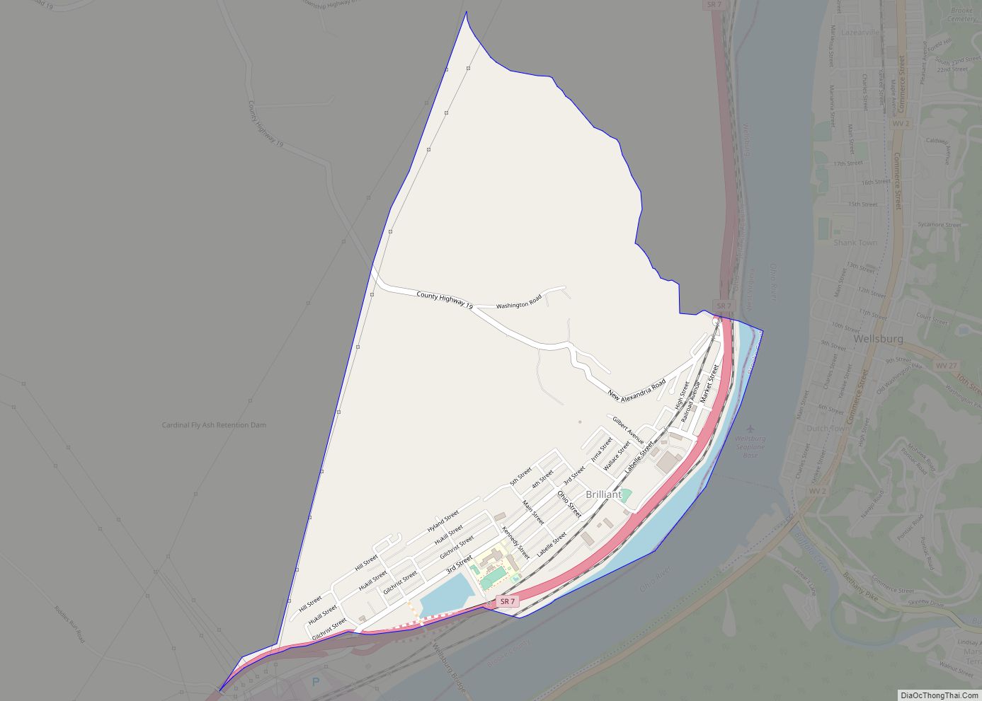
Online Interactive Map
Click on ![]() to view map in "full screen" mode.
to view map in "full screen" mode.
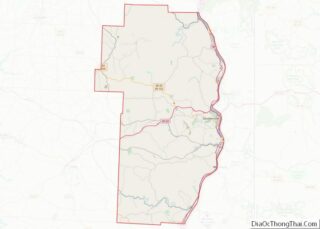
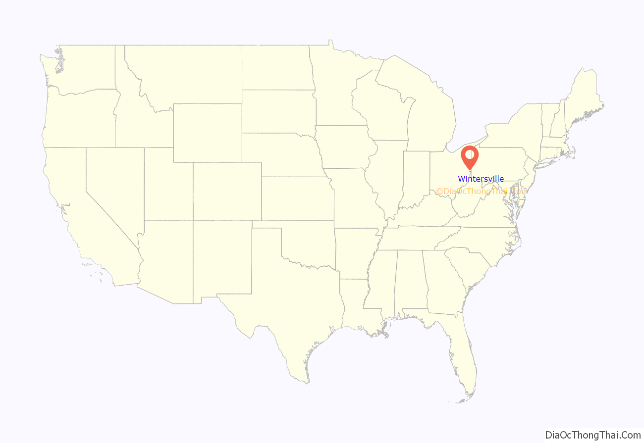
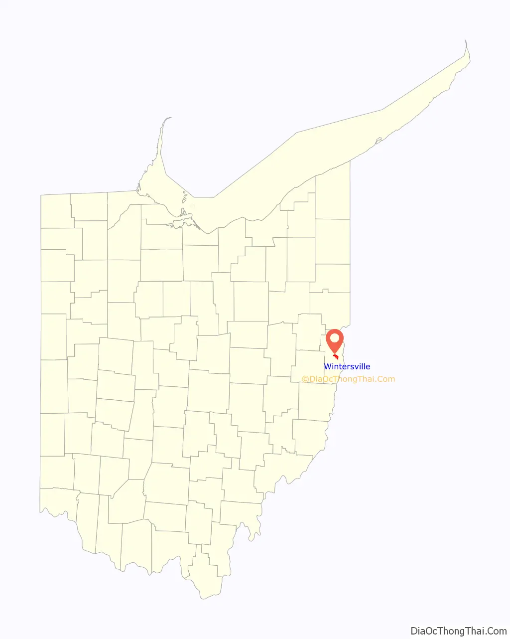
Wintersville location map. Where is Wintersville village?
History
The first settlement at Wintersville was made in 1831. The village was named for its founder, John Winters. A post office was established at Wintersville in 1831, and remained in operation until 1901.
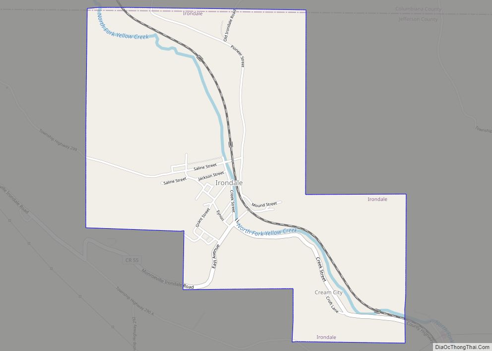
During Morgan’s Raid, a Union victory in the Civil War in 1863, Confederate Brid. Gen. John Hunt Morgan traveled through the Moorefield, Harrisville, New Athens, Smithfield, New Alexandria, Wintersville, Two Ridge, Richmond, East Springfield, Bergholz, and Monroeville on his way to defeat at the Battle of Salineville.
Wintersville Road Map
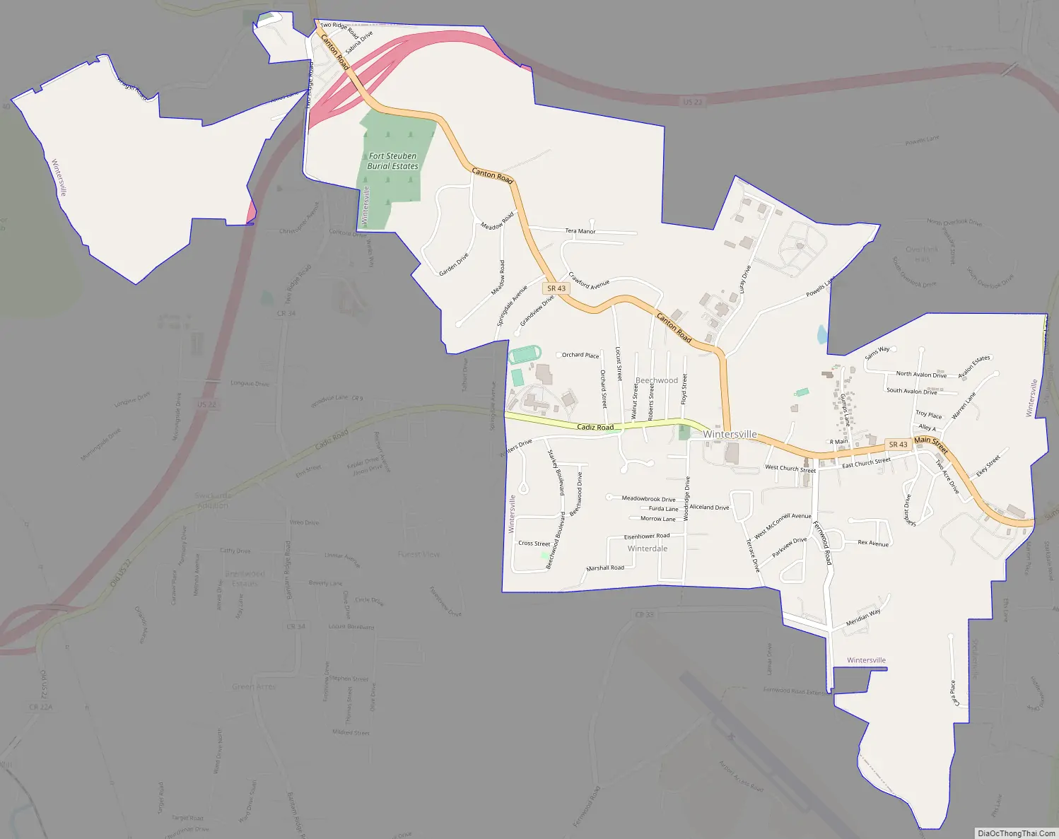
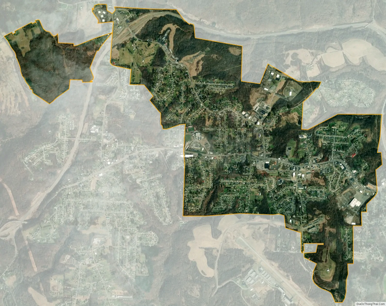
Wintersville city Satellite Map
Geography
Wintersville is located at 40°22′38″N 80°42′23″W / 40.37722°N 80.70639°W / 40.37722; -80.70639 (40.377190, -80.706510).
According to the United States Census Bureau, the village has a total area of 3.12 square miles (8.08 km), all land.
In addition to a direct highway system, Wintersville is strategically located 30 miles from the Greater Pittsburgh International Airport, 20 miles from the Wheeling-Ohio County Airport, and abuts the Jefferson County Airport on its south corporate line. River and rail transportation are available along the Ohio River.
See also
Map of Ohio State and its subdivision:- Adams
- Allen
- Ashland
- Ashtabula
- Athens
- Auglaize
- Belmont
- Brown
- Butler
- Carroll
- Champaign
- Clark
- Clermont
- Clinton
- Columbiana
- Coshocton
- Crawford
- Cuyahoga
- Darke
- Defiance
- Delaware
- Erie
- Fairfield
- Fayette
- Franklin
- Fulton
- Gallia
- Geauga
- Greene
- Guernsey
- Hamilton
- Hancock
- Hardin
- Harrison
- Henry
- Highland
- Hocking
- Holmes
- Huron
- Jackson
- Jefferson
- Knox
- Lake
- Lake Erie
- Lawrence
- Licking
- Logan
- Lorain
- Lucas
- Madison
- Mahoning
- Marion
- Medina
- Meigs
- Mercer
- Miami
- Monroe
- Montgomery
- Morgan
- Morrow
- Muskingum
- Noble
- Ottawa
- Paulding
- Perry
- Pickaway
- Pike
- Portage
- Preble
- Putnam
- Richland
- Ross
- Sandusky
- Scioto
- Seneca
- Shelby
- Stark
- Summit
- Trumbull
- Tuscarawas
- Union
- Van Wert
- Vinton
- Warren
- Washington
- Wayne
- Williams
- Wood
- Wyandot
- Alabama
- Alaska
- Arizona
- Arkansas
- California
- Colorado
- Connecticut
- Delaware
- District of Columbia
- Florida
- Georgia
- Hawaii
- Idaho
- Illinois
- Indiana
- Iowa
- Kansas
- Kentucky
- Louisiana
- Maine
- Maryland
- Massachusetts
- Michigan
- Minnesota
- Mississippi
- Missouri
- Montana
- Nebraska
- Nevada
- New Hampshire
- New Jersey
- New Mexico
- New York
- North Carolina
- North Dakota
- Ohio
- Oklahoma
- Oregon
- Pennsylvania
- Rhode Island
- South Carolina
- South Dakota
- Tennessee
- Texas
- Utah
- Vermont
- Virginia
- Washington
- West Virginia
- Wisconsin
- Wyoming