Yankee Lake is a village in eastern Trumbull County, Ohio, United States, located along Yankee Run. The population was 75 at the 2020 census. It is part of the Youngstown–Warren metropolitan area. The community is served by the Brookfield, Ohio post office.
| Name: | Yankee Lake village |
|---|---|
| LSAD Code: | 47 |
| LSAD Description: | village (suffix) |
| State: | Ohio |
| County: | Trumbull County |
| Total Area: | 0.56 sq mi (1.46 km²) |
| Land Area: | 0.56 sq mi (1.46 km²) |
| Water Area: | 0.00 sq mi (0.00 km²) |
| Total Population: | 75 |
| Population Density: | 133.21/sq mi (51.42/km²) |
| ZIP code: | 44403 |
| Area code: | 330, 234 |
| FIPS code: | 3986856 |
Online Interactive Map
Click on ![]() to view map in "full screen" mode.
to view map in "full screen" mode.
Yankee Lake location map. Where is Yankee Lake village?
History
The village of Yankee Lake takes its name from a former man-made lake located along Yankee Run. First known as Lingamore Lake, it was renamed to match the name of the creek which was dammed to create it. Ernest Houston Stewart and John Jurko purchased land around the creek and opened a dance hall in 1928. It became a regular stop for acts during the Big Band era including Glenn Miller, Tommy Dorsey, Artie Shaw, Benny Goodman, Cab Calloway, Count Basie, and Duke Ellington. Famous gangsters of the era like John Dillinger may have even visited the ballroom. Although the popular swimming lake was drained in 1979, Yankee Lake has been reinvented to host motocross races, a successful seafood buffet, classic rock concerts and a banquet hall. Most recently it has become a venue for bike nights and truck nights.
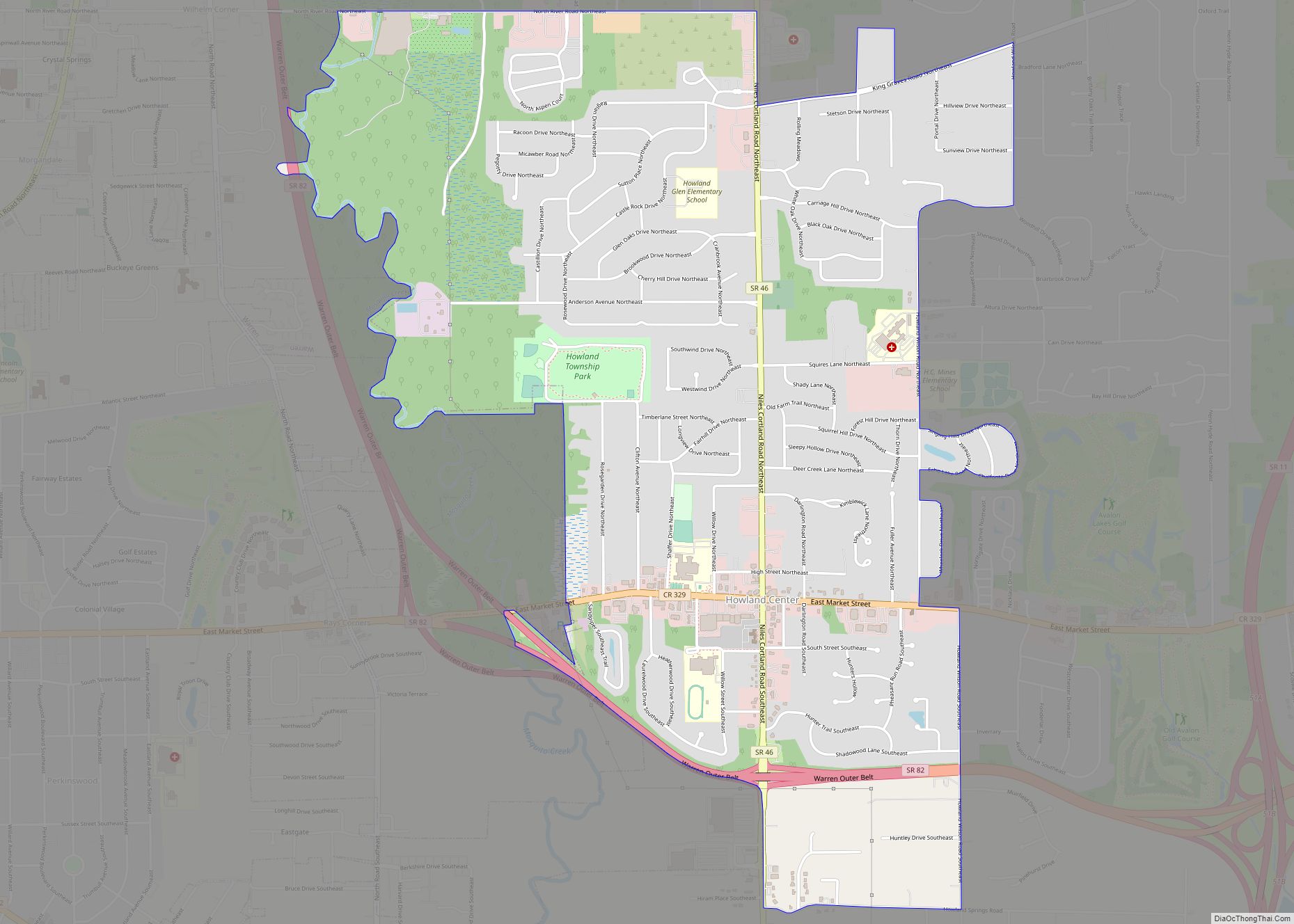
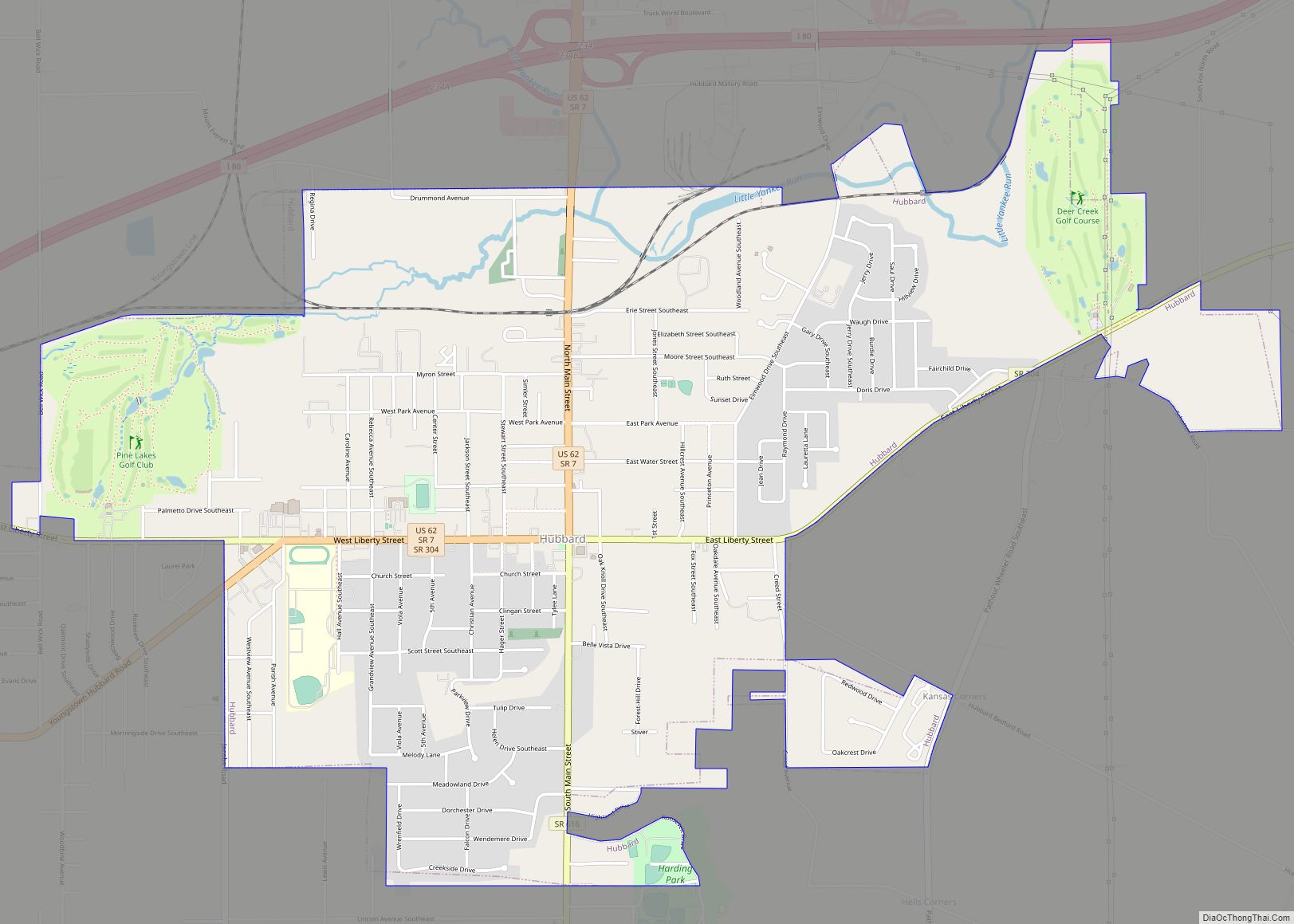
Yankee Lake Road Map
Yankee Lake city Satellite Map
Geography
Yankee Lake is located at 41°16′8″N 80°34′1″W / 41.26889°N 80.56694°W / 41.26889; -80.56694 (41.268855, -80.566953).
According to the United States Census Bureau, the village has a total area of 0.51 square miles (1.32 km), all land.
See also
Map of Ohio State and its subdivision:- Adams
- Allen
- Ashland
- Ashtabula
- Athens
- Auglaize
- Belmont
- Brown
- Butler
- Carroll
- Champaign
- Clark
- Clermont
- Clinton
- Columbiana
- Coshocton
- Crawford
- Cuyahoga
- Darke
- Defiance
- Delaware
- Erie
- Fairfield
- Fayette
- Franklin
- Fulton
- Gallia
- Geauga
- Greene
- Guernsey
- Hamilton
- Hancock
- Hardin
- Harrison
- Henry
- Highland
- Hocking
- Holmes
- Huron
- Jackson
- Jefferson
- Knox
- Lake
- Lake Erie
- Lawrence
- Licking
- Logan
- Lorain
- Lucas
- Madison
- Mahoning
- Marion
- Medina
- Meigs
- Mercer
- Miami
- Monroe
- Montgomery
- Morgan
- Morrow
- Muskingum
- Noble
- Ottawa
- Paulding
- Perry
- Pickaway
- Pike
- Portage
- Preble
- Putnam
- Richland
- Ross
- Sandusky
- Scioto
- Seneca
- Shelby
- Stark
- Summit
- Trumbull
- Tuscarawas
- Union
- Van Wert
- Vinton
- Warren
- Washington
- Wayne
- Williams
- Wood
- Wyandot
- Alabama
- Alaska
- Arizona
- Arkansas
- California
- Colorado
- Connecticut
- Delaware
- District of Columbia
- Florida
- Georgia
- Hawaii
- Idaho
- Illinois
- Indiana
- Iowa
- Kansas
- Kentucky
- Louisiana
- Maine
- Maryland
- Massachusetts
- Michigan
- Minnesota
- Mississippi
- Missouri
- Montana
- Nebraska
- Nevada
- New Hampshire
- New Jersey
- New Mexico
- New York
- North Carolina
- North Dakota
- Ohio
- Oklahoma
- Oregon
- Pennsylvania
- Rhode Island
- South Carolina
- South Dakota
- Tennessee
- Texas
- Utah
- Vermont
- Virginia
- Washington
- West Virginia
- Wisconsin
- Wyoming


