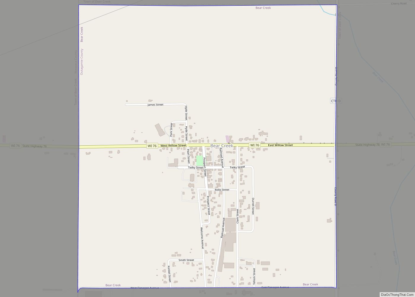
Bear Creek is a village in Outagamie County, Wisconsin, United States. The population was 448 at the 2010 census.
| Name: | Bear Creek village |
|---|---|
| LSAD Code: | 47 |
| LSAD Description: | village (suffix) |
| State: | Wisconsin |
| County: | Outagamie County |
| Total Area: | 0.92 sq mi (2.39 km²) |
| Land Area: | 0.92 sq mi (2.39 km²) |
| Water Area: | 0.00 sq mi (0.00 km²) |
| Total Population: | 448 |
| Population Density: | 475.05/sq mi (183.42/km²) |
| ZIP code: | 54922 |
| FIPS code: | 5505575 |
| GNISfeature ID: | 1582769 |
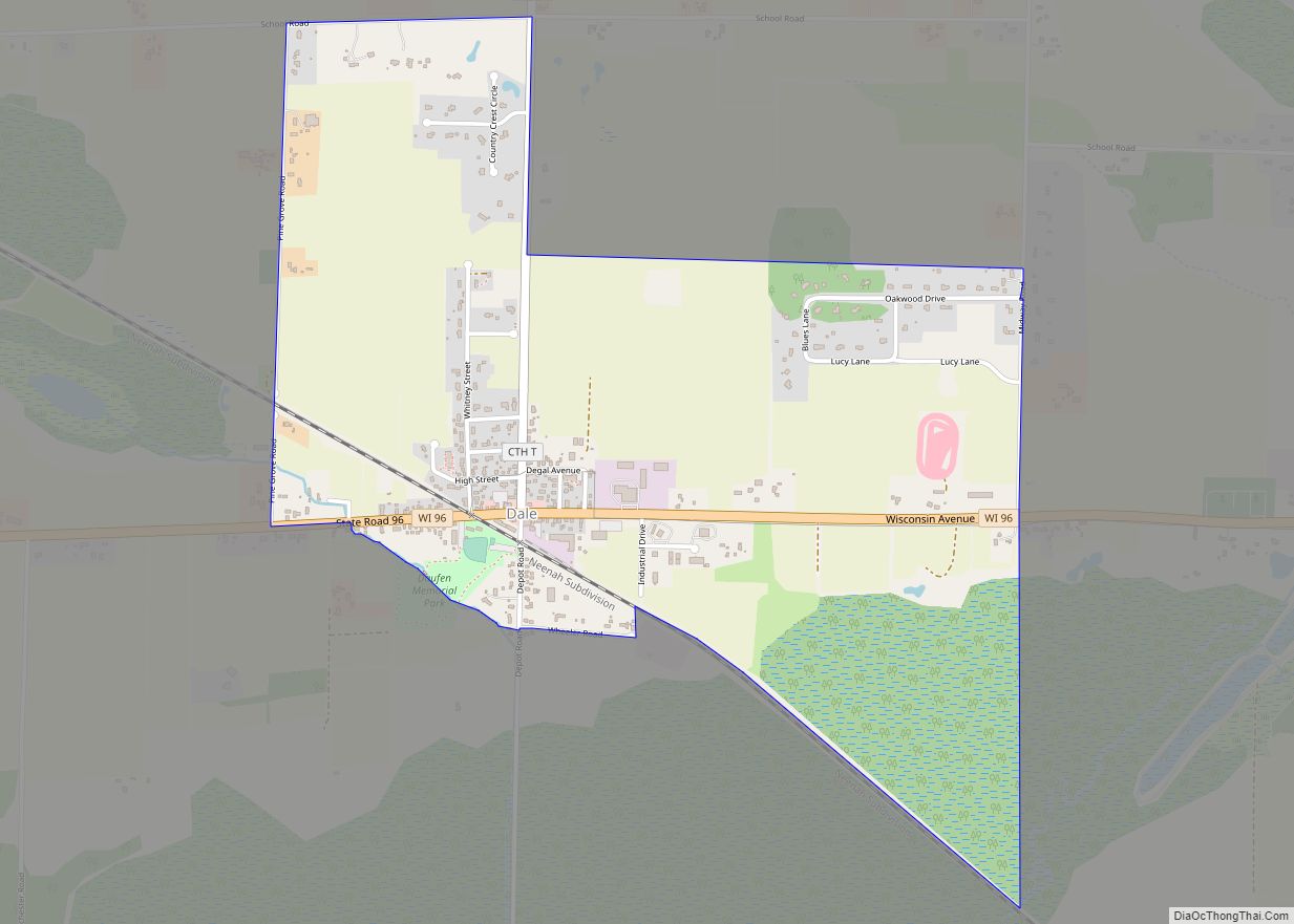
Online Interactive Map
Click on ![]() to view map in "full screen" mode.
to view map in "full screen" mode.
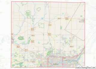
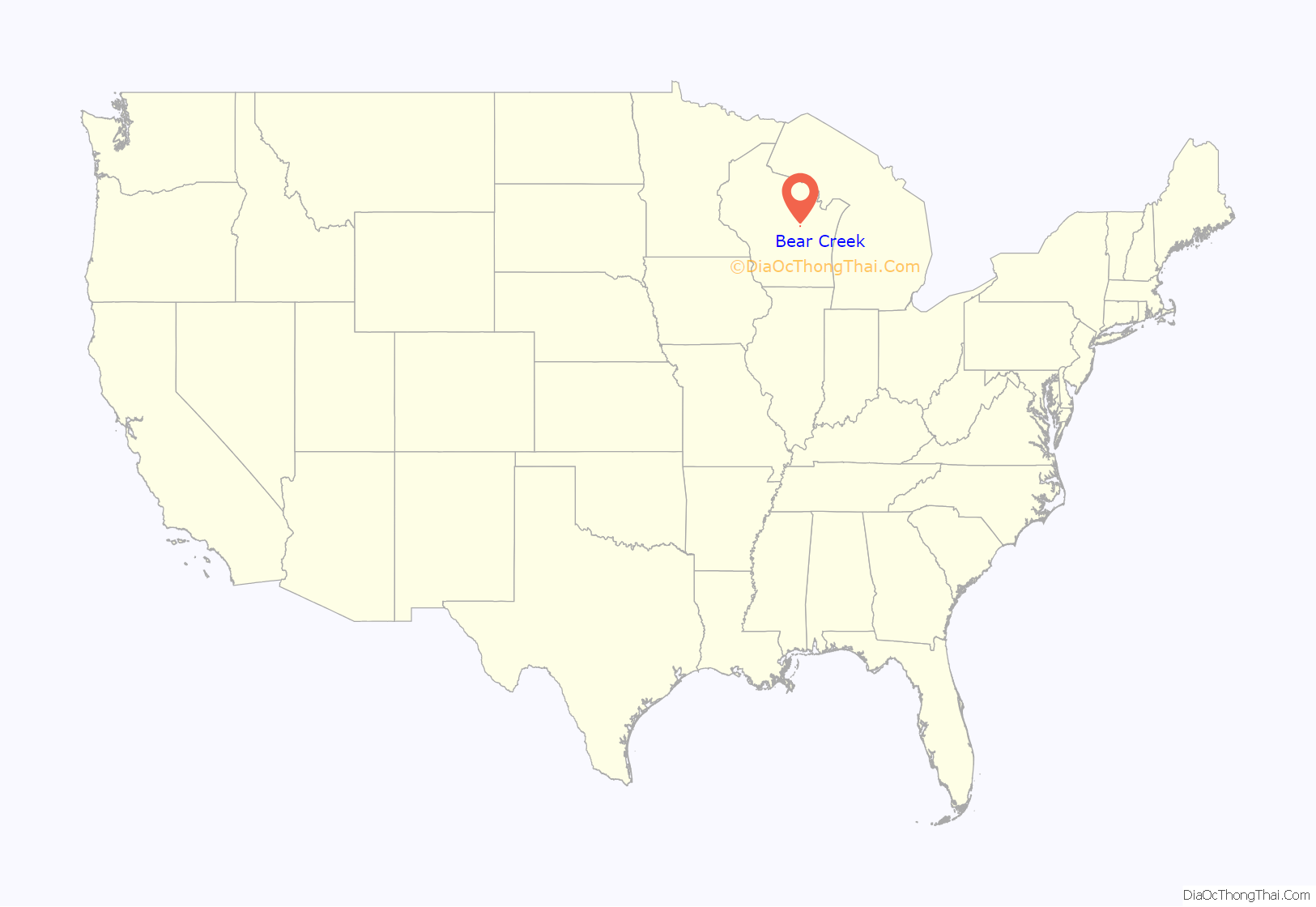
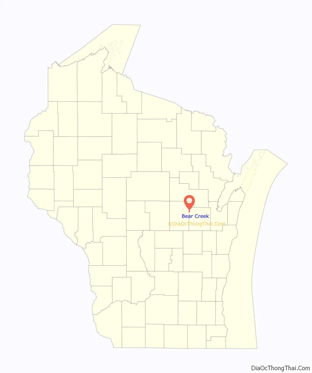
Bear Creek location map. Where is Bear Creek village?
History
The community began as a lumber camp in 1850 when Captain Welcome Hyde, a lumberman, located on the bank of the Embarrass River and cut the first road into the area. The Milwaukee, Lake Shore, and Western Railroad (later Chicago and Northwestern Railroad) was constructed through the area on its way to Clintonville, and began passenger and freight service through Bear Creek in 1878. Hyde built a store in what became Bear Creek Station. In 1885, land was platted for Hyde alongside the railroad right-of-way, and named Bear Creek after the nearby stream. In June 1898, the community and its post office were renamed Welcome, after Capt. Hyde.
In June 1902, work began to incorporate the community into a village. A disastrous fire struck the town on July 11, 1902, in which most of its business district was destroyed, owing in part to the fact that the community did not have a fire service of any kind. The day after this fire, an election was held on the question of incorporation, which passed, 65–15, and thus the Village of Welcome was established.
In the meantime, the cause of the fire was investigated and believed to be arson. In early 1903, Lucille Colbert was charged with setting fire to her own millinery and causing $80,000 in damage to the village. An unsigned letter, believed to be written in Colbert’s handwriting, was mailed to the village’s Catholic church, in which a man on his deathbed claimed responsibility for the fire, as retribution for a dispute with Colbert. A publicly followed multi-year trial and appeal process was set in motion. Colbert was convicted in on December 5, 1903, the day after “the largest crowd ever gathered in the Appleton courtroom” (300) heard closing arguments. Her conviction was appealed as she first remained under guard in a hotel. It was ultimately overturned in 1905 by the Wisconsin Supreme Court, headed by John B. Winslow, and a new trial was ordered. In 1907, a new trial having been on the court’s calendar for each year thereafter, the case was officially dropped, with Colbert never having served a day behind bars.
The name of the village of Welcome was changed back to Bear Creek by consent of the Wisconsin Legislature on July 2, 1915, because of the confusion resulting from the village and the railroad station having different names.
The Chicago and Northwestern Railroad abandoned their railway between New London and Clintonville in 1982. This was the track completed in 1878 which was largely responsible for Bear Creek’s establishment. Once rails and ties were removed, the line right of way through Bear Creek was not repurposed.
Bear Creek Road Map
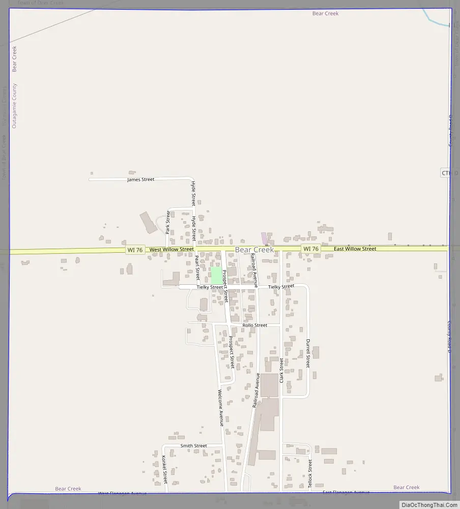
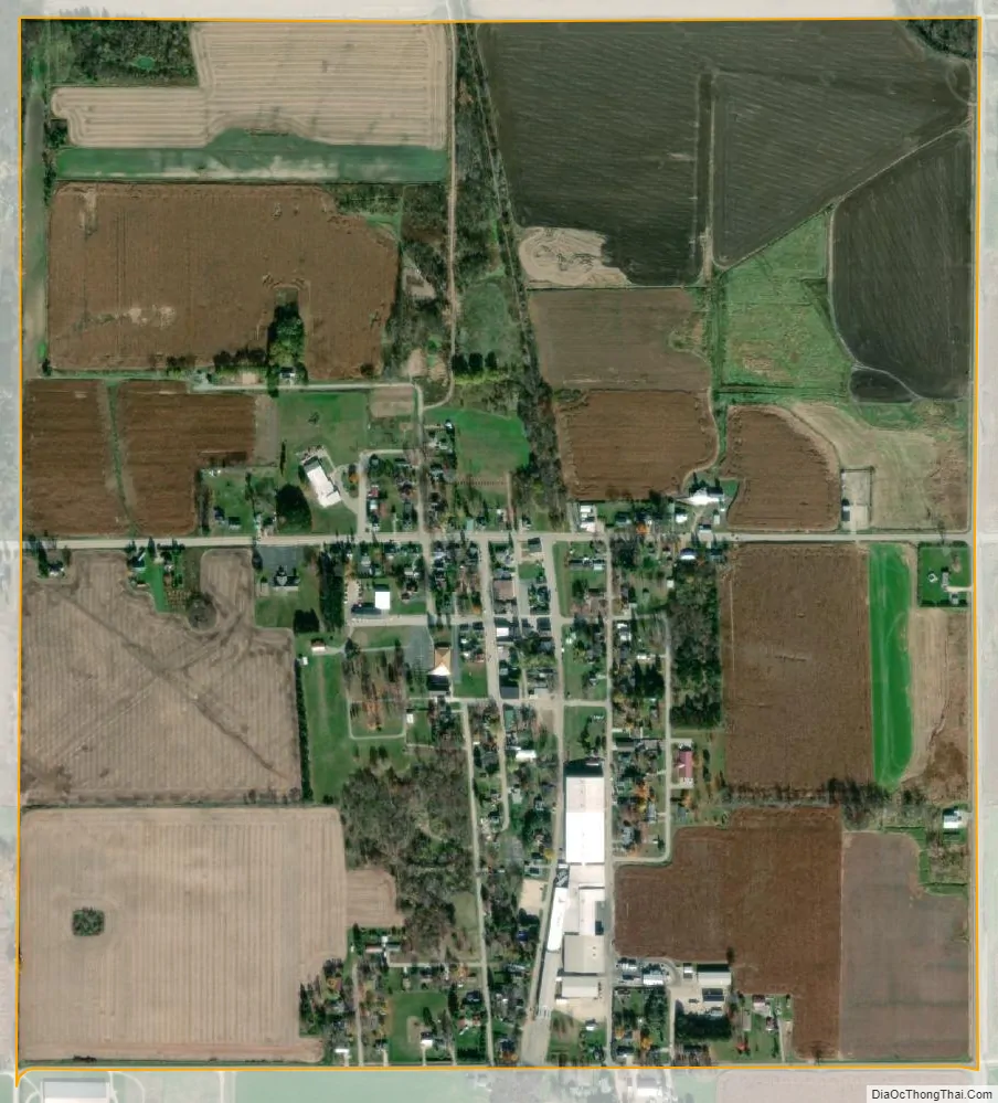
Bear Creek city Satellite Map
Geography
Bear Creek is located at 44°31′47″N 88°43′37″W / 44.52972°N 88.72694°W / 44.52972; -88.72694 (44.529649, -88.726849).
According to the United States Census Bureau, the village has a total area of 0.92 square miles (2.38 km), all of it land.
See also
Map of Wisconsin State and its subdivision:- Adams
- Ashland
- Barron
- Bayfield
- Brown
- Buffalo
- Burnett
- Calumet
- Chippewa
- Clark
- Columbia
- Crawford
- Dane
- Dodge
- Door
- Douglas
- Dunn
- Eau Claire
- Florence
- Fond du Lac
- Forest
- Grant
- Green
- Green Lake
- Iowa
- Iron
- Jackson
- Jefferson
- Juneau
- Kenosha
- Kewaunee
- La Crosse
- Lafayette
- Lake Michigan
- Lake Superior
- Langlade
- Lincoln
- Manitowoc
- Marathon
- Marinette
- Marquette
- Menominee
- Milwaukee
- Monroe
- Oconto
- Oneida
- Outagamie
- Ozaukee
- Pepin
- Pierce
- Polk
- Portage
- Price
- Racine
- Richland
- Rock
- Rusk
- Saint Croix
- Sauk
- Sawyer
- Shawano
- Sheboygan
- Taylor
- Trempealeau
- Vernon
- Vilas
- Walworth
- Washburn
- Washington
- Waukesha
- Waupaca
- Waushara
- Winnebago
- Wood
- Alabama
- Alaska
- Arizona
- Arkansas
- California
- Colorado
- Connecticut
- Delaware
- District of Columbia
- Florida
- Georgia
- Hawaii
- Idaho
- Illinois
- Indiana
- Iowa
- Kansas
- Kentucky
- Louisiana
- Maine
- Maryland
- Massachusetts
- Michigan
- Minnesota
- Mississippi
- Missouri
- Montana
- Nebraska
- Nevada
- New Hampshire
- New Jersey
- New Mexico
- New York
- North Carolina
- North Dakota
- Ohio
- Oklahoma
- Oregon
- Pennsylvania
- Rhode Island
- South Carolina
- South Dakota
- Tennessee
- Texas
- Utah
- Vermont
- Virginia
- Washington
- West Virginia
- Wisconsin
- Wyoming