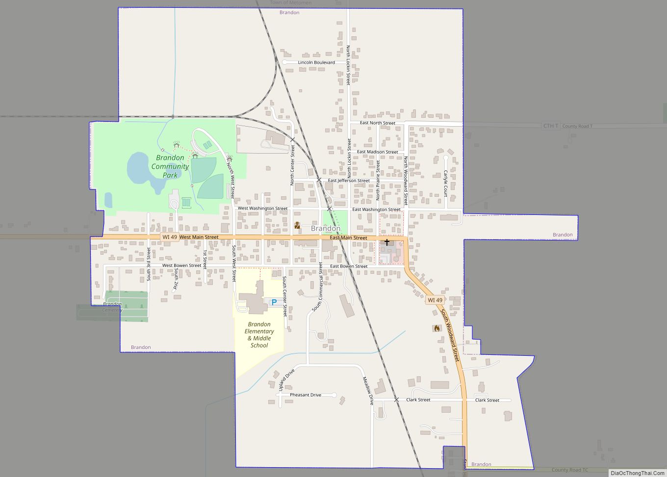
Brandon is a village in Fond du Lac County, Wisconsin, United States. The population was 879 at the 2010 census.
| Name: | Brandon village |
|---|---|
| LSAD Code: | 47 |
| LSAD Description: | village (suffix) |
| State: | Wisconsin |
| County: | Fond du Lac County |
| Elevation: | 1,001 ft (305 m) |
| Total Area: | 0.76 sq mi (1.98 km²) |
| Land Area: | 0.76 sq mi (1.96 km²) |
| Water Area: | 0.01 sq mi (0.02 km²) |
| Total Population: | 879 |
| Population Density: | 1,128.31/sq mi (435.78/km²) |
| Area code: | 920 |
| FIPS code: | 5509300 |
| GNISfeature ID: | 1562145 |
| Website: | villageofbrandon.com |
Online Interactive Map
Click on ![]() to view map in "full screen" mode.
to view map in "full screen" mode.
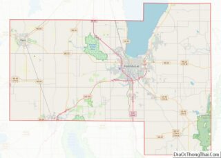
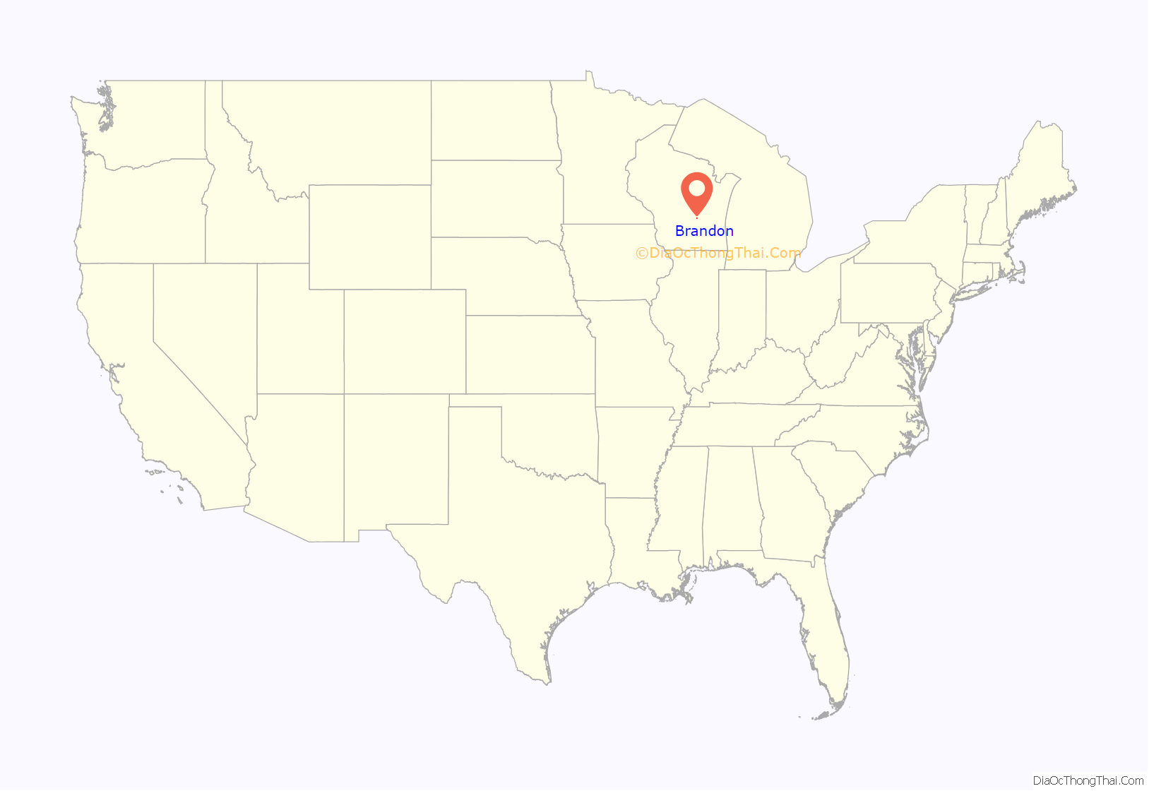
Brandon location map. Where is Brandon village?

History
Brandon was originally dubbed “Bungtown” in the town’s creation in 1856.
The Rens Hemp Company of Brandon, Wisconsin, closed in 1958, the last legal hemp producer nationwide in operation following the World Wars. Prior to its 1957 shutdown, Rens had been the primary provider of hemp rope for the United States Navy.
Brandon Road Map
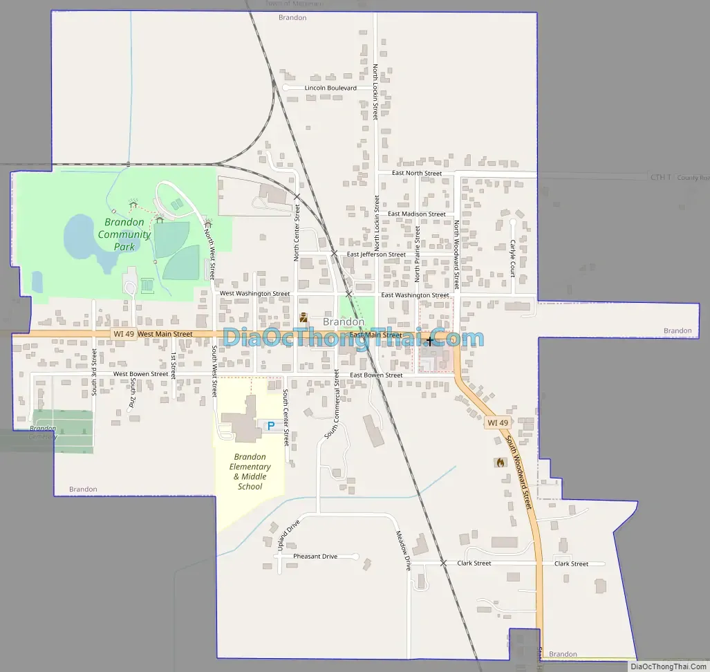
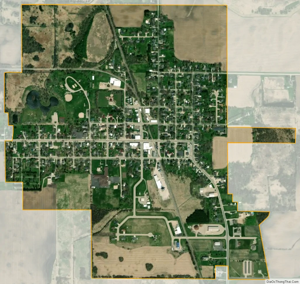
Brandon city Satellite Map
Geography
Brandon is located at 43°44′8″N 88°46′56″W / 43.73556°N 88.78222°W / 43.73556; -88.78222 (43.735444, -88.782093).
The source of the northernmost West Branch of the Rock River (Mississippi River tributary) is located in the Community Park on the west edge of Brandon.
According to the United States Census Bureau, the village has a total area of 0.77 square miles (1.99 km), of which, 0.76 square miles (1.97 km) of it is land and 0.01 square miles (0.03 km) is water.
See also
Map of Wisconsin State and its subdivision:- Adams
- Ashland
- Barron
- Bayfield
- Brown
- Buffalo
- Burnett
- Calumet
- Chippewa
- Clark
- Columbia
- Crawford
- Dane
- Dodge
- Door
- Douglas
- Dunn
- Eau Claire
- Florence
- Fond du Lac
- Forest
- Grant
- Green
- Green Lake
- Iowa
- Iron
- Jackson
- Jefferson
- Juneau
- Kenosha
- Kewaunee
- La Crosse
- Lafayette
- Lake Michigan
- Lake Superior
- Langlade
- Lincoln
- Manitowoc
- Marathon
- Marinette
- Marquette
- Menominee
- Milwaukee
- Monroe
- Oconto
- Oneida
- Outagamie
- Ozaukee
- Pepin
- Pierce
- Polk
- Portage
- Price
- Racine
- Richland
- Rock
- Rusk
- Saint Croix
- Sauk
- Sawyer
- Shawano
- Sheboygan
- Taylor
- Trempealeau
- Vernon
- Vilas
- Walworth
- Washburn
- Washington
- Waukesha
- Waupaca
- Waushara
- Winnebago
- Wood
- Alabama
- Alaska
- Arizona
- Arkansas
- California
- Colorado
- Connecticut
- Delaware
- District of Columbia
- Florida
- Georgia
- Hawaii
- Idaho
- Illinois
- Indiana
- Iowa
- Kansas
- Kentucky
- Louisiana
- Maine
- Maryland
- Massachusetts
- Michigan
- Minnesota
- Mississippi
- Missouri
- Montana
- Nebraska
- Nevada
- New Hampshire
- New Jersey
- New Mexico
- New York
- North Carolina
- North Dakota
- Ohio
- Oklahoma
- Oregon
- Pennsylvania
- Rhode Island
- South Carolina
- South Dakota
- Tennessee
- Texas
- Utah
- Vermont
- Virginia
- Washington
- West Virginia
- Wisconsin
- Wyoming