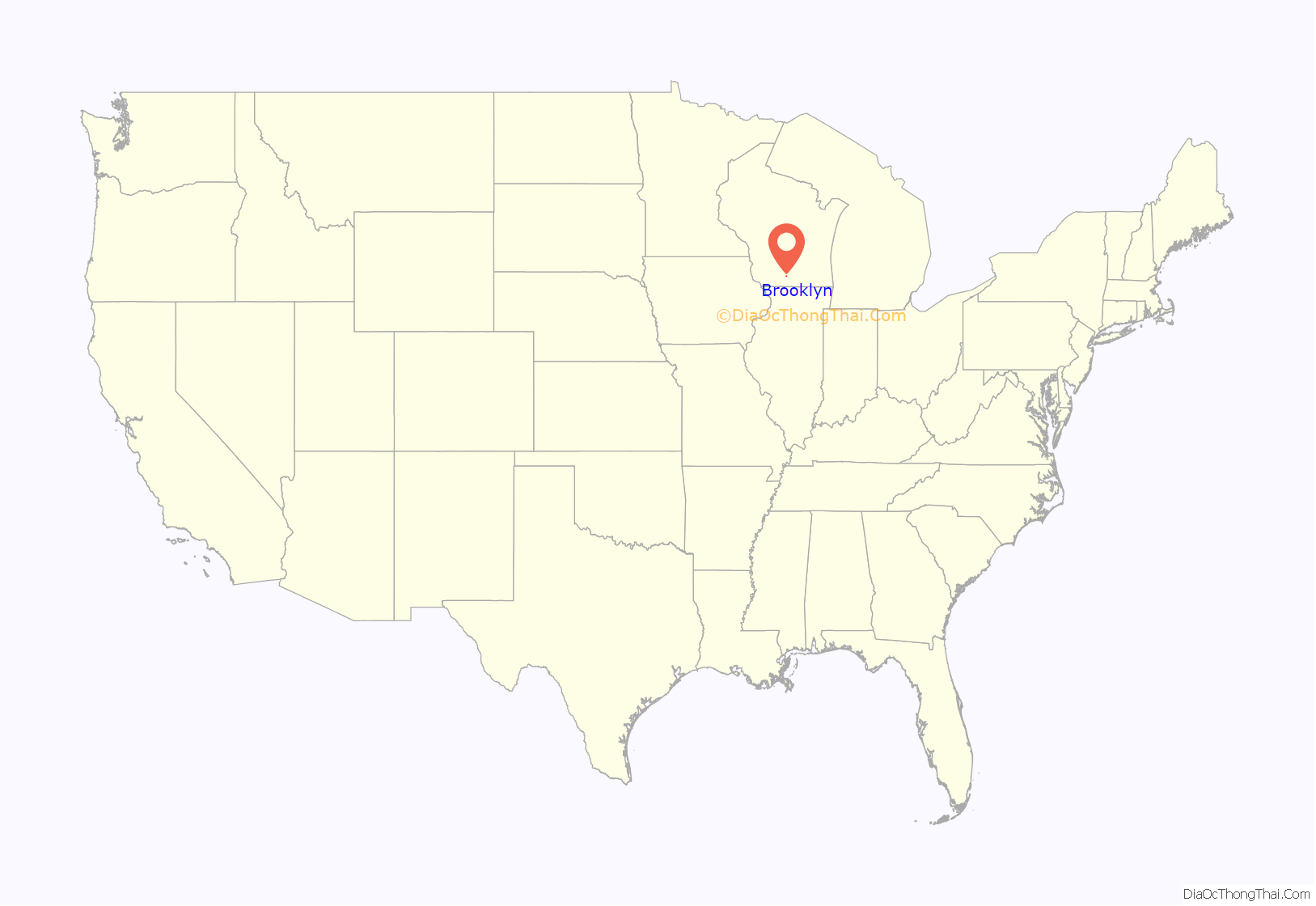
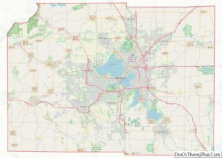
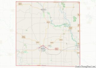
Brooklyn is a village in Dane and Green counties in Wisconsin, United States. The population was 1,524 at the 2020 census, with 1,026 residents in Dane County and 498 in Green County.
The Dane County portion of Brooklyn is part of the Madison Metropolitan Statistical Area, while the Green County portion is part of the Monroe Micropolitan Statistical Area.
Brooklyn is an “affluent village.” In 2015, Brooklyn had a mean income of $76,471 and a median income of $78,506.
| Name: | Brooklyn village |
|---|---|
| LSAD Code: | 47 |
| LSAD Description: | village (suffix) |
| State: | Wisconsin |
| County: | Dane County, Green County |
| Total Area: | 1.12 sq mi (2.90 km²) |
| Land Area: | 1.12 sq mi (2.89 km²) |
| Water Area: | 0.01 sq mi (0.01 km²) |
| Total Population: | 1,524 |
| Population Density: | 1,365.6/sq mi (527.3/km²) |
| FIPS code: | 5510075 |
| GNISfeature ID: | 1582869 |
| Website: | brooklynwi.gov |
Online Interactive Map
Click on ![]() to view map in "full screen" mode.
to view map in "full screen" mode.
Brooklyn location map. Where is Brooklyn village?
History
The village was incorporated in 1905. It was named after Brooklyn, New York.
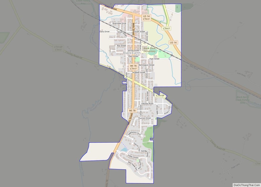
Brooklyn Road Map
Brooklyn city Satellite Map
Geography
Brooklyn is located at 42°51′13″N 89°22′11″W / 42.853600°N 89.369689°W / 42.853600; -89.369689.
According to the United States Census Bureau, the village has a total area of 1.12 square miles (2.90 km), all of it land.
All mailing addresses in the village use ZIP code 53521.
The village straddles the boundary between the Sugar-Pecatonica river basin (Allen Creek and Middle Sugar River watershed) draining to the west, and Lower Rock river basin (Badfish Creek watershed) draining to the east.
See also
Map of Wisconsin State and its subdivision:- Adams
- Ashland
- Barron
- Bayfield
- Brown
- Buffalo
- Burnett
- Calumet
- Chippewa
- Clark
- Columbia
- Crawford
- Dane
- Dodge
- Door
- Douglas
- Dunn
- Eau Claire
- Florence
- Fond du Lac
- Forest
- Grant
- Green
- Green Lake
- Iowa
- Iron
- Jackson
- Jefferson
- Juneau
- Kenosha
- Kewaunee
- La Crosse
- Lafayette
- Lake Michigan
- Lake Superior
- Langlade
- Lincoln
- Manitowoc
- Marathon
- Marinette
- Marquette
- Menominee
- Milwaukee
- Monroe
- Oconto
- Oneida
- Outagamie
- Ozaukee
- Pepin
- Pierce
- Polk
- Portage
- Price
- Racine
- Richland
- Rock
- Rusk
- Saint Croix
- Sauk
- Sawyer
- Shawano
- Sheboygan
- Taylor
- Trempealeau
- Vernon
- Vilas
- Walworth
- Washburn
- Washington
- Waukesha
- Waupaca
- Waushara
- Winnebago
- Wood
- Alabama
- Alaska
- Arizona
- Arkansas
- California
- Colorado
- Connecticut
- Delaware
- District of Columbia
- Florida
- Georgia
- Hawaii
- Idaho
- Illinois
- Indiana
- Iowa
- Kansas
- Kentucky
- Louisiana
- Maine
- Maryland
- Massachusetts
- Michigan
- Minnesota
- Mississippi
- Missouri
- Montana
- Nebraska
- Nevada
- New Hampshire
- New Jersey
- New Mexico
- New York
- North Carolina
- North Dakota
- Ohio
- Oklahoma
- Oregon
- Pennsylvania
- Rhode Island
- South Carolina
- South Dakota
- Tennessee
- Texas
- Utah
- Vermont
- Virginia
- Washington
- West Virginia
- Wisconsin
- Wyoming
