Brownsville is a village in Dodge County, Wisconsin, United States. The population was 581 at the 2010 census.
| Name: | Brownsville village |
|---|---|
| LSAD Code: | 47 |
| LSAD Description: | village (suffix) |
| State: | Wisconsin |
| County: | Dodge County |
| Elevation: | 997 ft (304 m) |
| Total Area: | 0.61 sq mi (1.59 km²) |
| Land Area: | 0.61 sq mi (1.59 km²) |
| Water Area: | 0.00 sq mi (0.00 km²) |
| Total Population: | 581 |
| Population Density: | 952.69/sq mi (367.70/km²) |
| FIPS code: | 5510450 |
| GNISfeature ID: | 1562277 |
| Website: | www.villageofbrownsvilletoday.com |
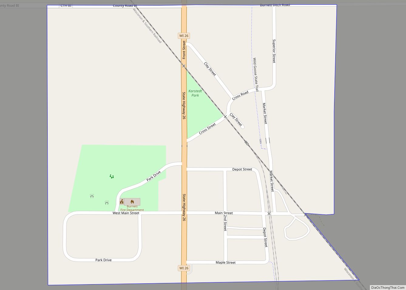
Online Interactive Map
Click on ![]() to view map in "full screen" mode.
to view map in "full screen" mode.
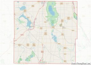
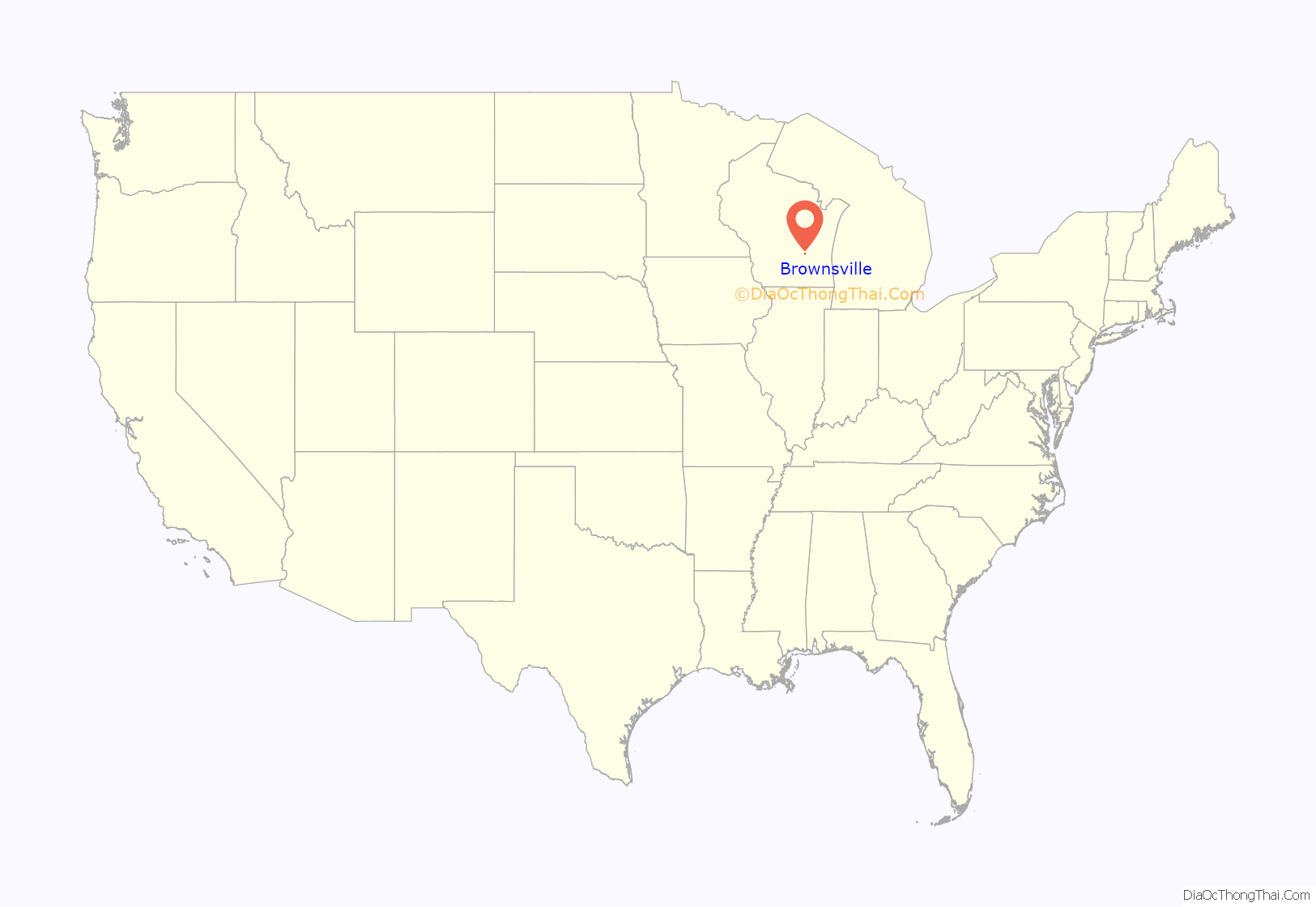
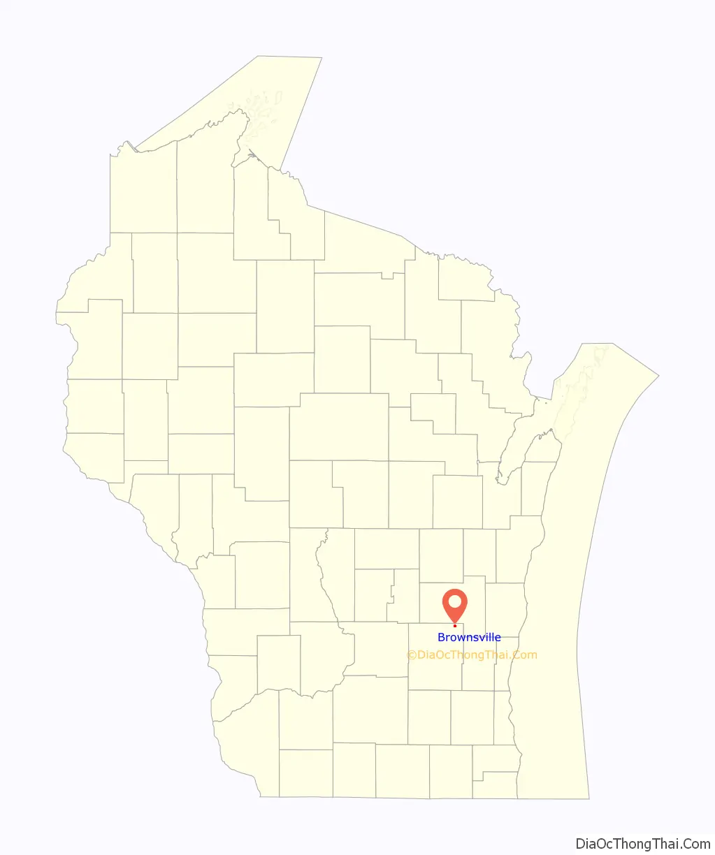
Brownsville location map. Where is Brownsville village?
History
Brownsville was founded around 1878. The village was first known as Thetis Station and had a narrow gauge railroad connection to Fond du Lac and Iron Ridge. The Lutheran church was located next to the cemetery. On Tuesday August 28, 2018, an EF1 tornado caused major damage in the village including trees being uprooted, siding being torn off, roof damage, and power lines down. The village was put under a state of emergency, with only residents being allowed in days after the twister.
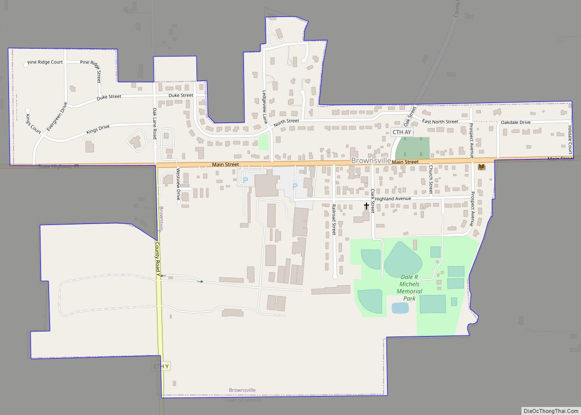
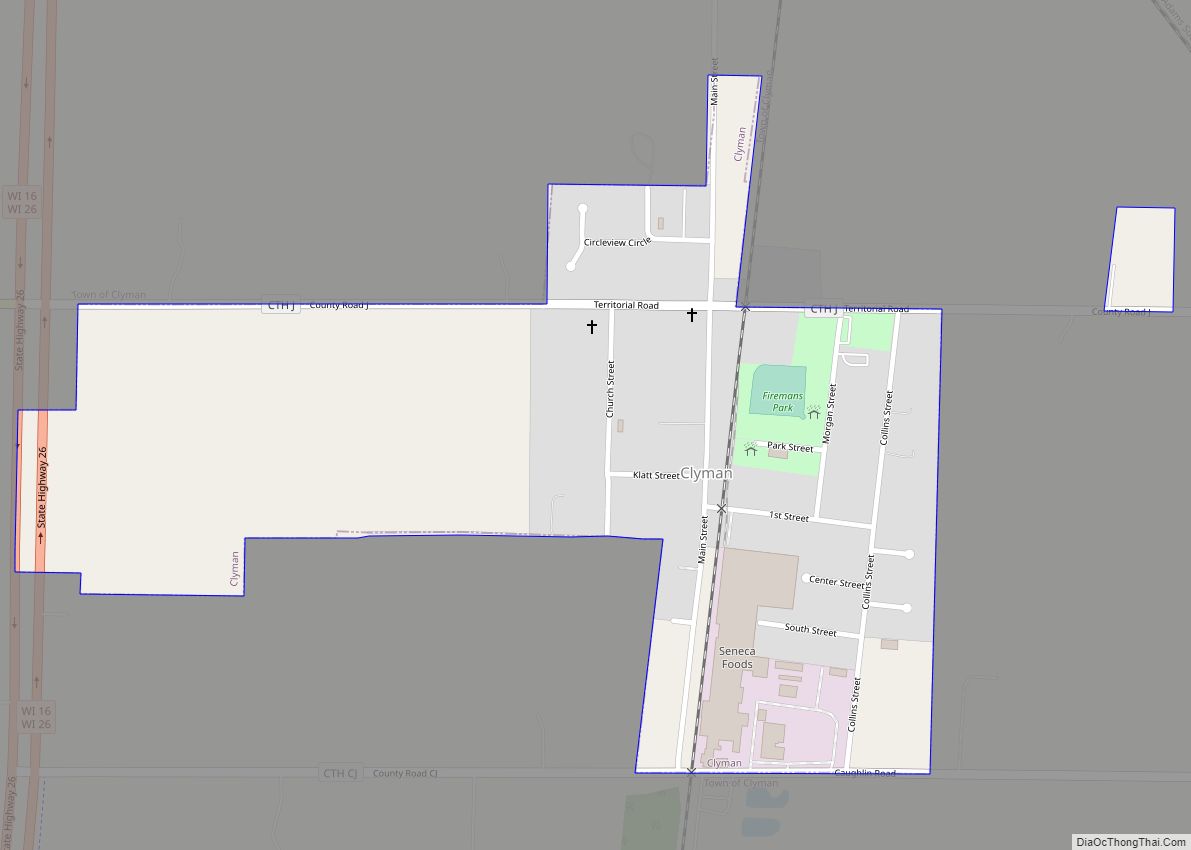
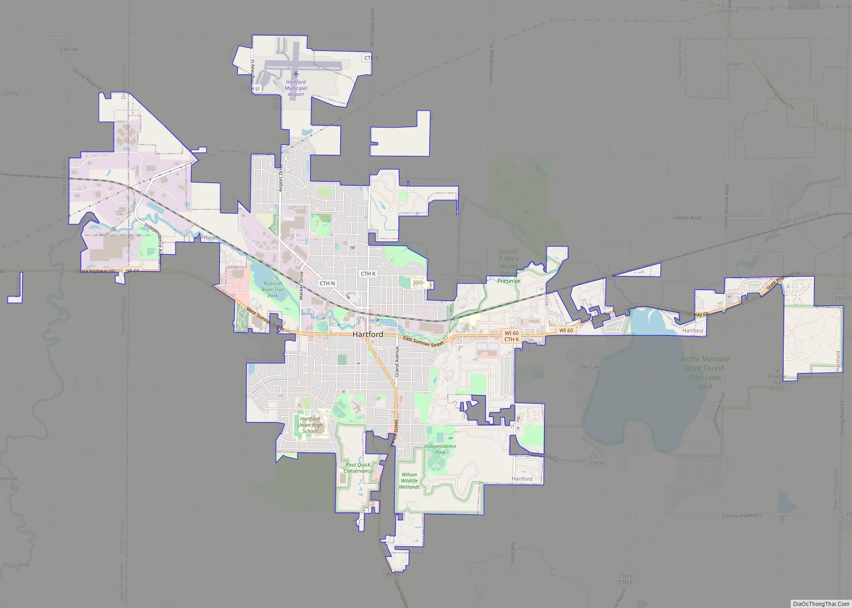
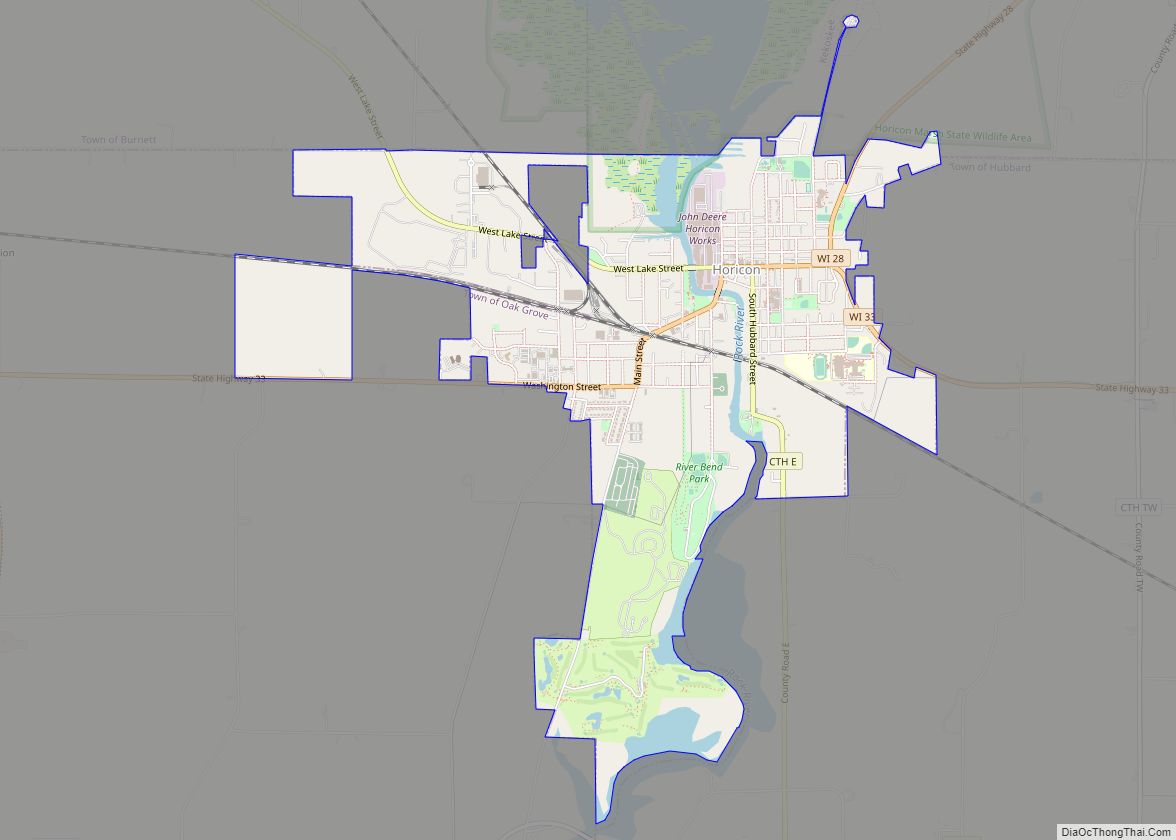
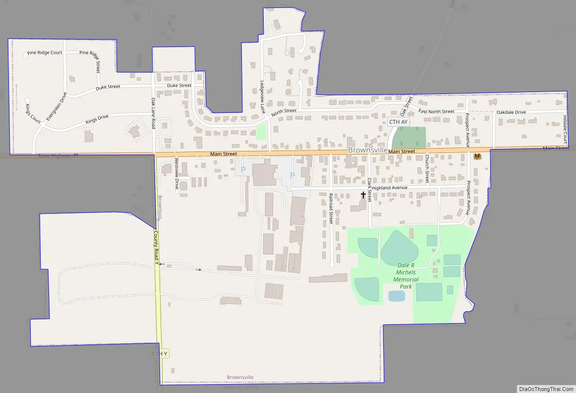
Brownsville Road Map
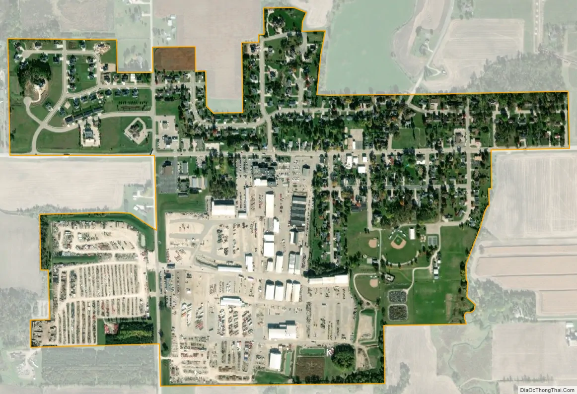
Brownsville city Satellite Map
Geography
Brownsville is located two miles from US Hwy 41 and Wisconsin Highway 175. Wisconsin Highway 49 runs through the village.
Kummel Creek, a tributary of the Rock River, begins just north of the village and flows through the village.
According to the United States Census Bureau, the village has a total area of 0.52 square miles (1.35 km), all of it land.
See also
Map of Wisconsin State and its subdivision:- Adams
- Ashland
- Barron
- Bayfield
- Brown
- Buffalo
- Burnett
- Calumet
- Chippewa
- Clark
- Columbia
- Crawford
- Dane
- Dodge
- Door
- Douglas
- Dunn
- Eau Claire
- Florence
- Fond du Lac
- Forest
- Grant
- Green
- Green Lake
- Iowa
- Iron
- Jackson
- Jefferson
- Juneau
- Kenosha
- Kewaunee
- La Crosse
- Lafayette
- Lake Michigan
- Lake Superior
- Langlade
- Lincoln
- Manitowoc
- Marathon
- Marinette
- Marquette
- Menominee
- Milwaukee
- Monroe
- Oconto
- Oneida
- Outagamie
- Ozaukee
- Pepin
- Pierce
- Polk
- Portage
- Price
- Racine
- Richland
- Rock
- Rusk
- Saint Croix
- Sauk
- Sawyer
- Shawano
- Sheboygan
- Taylor
- Trempealeau
- Vernon
- Vilas
- Walworth
- Washburn
- Washington
- Waukesha
- Waupaca
- Waushara
- Winnebago
- Wood
- Alabama
- Alaska
- Arizona
- Arkansas
- California
- Colorado
- Connecticut
- Delaware
- District of Columbia
- Florida
- Georgia
- Hawaii
- Idaho
- Illinois
- Indiana
- Iowa
- Kansas
- Kentucky
- Louisiana
- Maine
- Maryland
- Massachusetts
- Michigan
- Minnesota
- Mississippi
- Missouri
- Montana
- Nebraska
- Nevada
- New Hampshire
- New Jersey
- New Mexico
- New York
- North Carolina
- North Dakota
- Ohio
- Oklahoma
- Oregon
- Pennsylvania
- Rhode Island
- South Carolina
- South Dakota
- Tennessee
- Texas
- Utah
- Vermont
- Virginia
- Washington
- West Virginia
- Wisconsin
- Wyoming