Buffalo City is a city in Buffalo County in the U.S. state of Wisconsin. The population was 1,023 at the 2010 census.
| Name: | Buffalo City city |
|---|---|
| LSAD Code: | 25 |
| LSAD Description: | city (suffix) |
| State: | Wisconsin |
| County: | Buffalo County |
| Elevation: | 669 ft (204 m) |
| Total Area: | 4.00 sq mi (10.35 km²) |
| Land Area: | 1.64 sq mi (4.26 km²) |
| Water Area: | 2.35 sq mi (6.09 km²) |
| Total Population: | 1,023 |
| Population Density: | 580.29/sq mi (224.11/km²) |
| FIPS code: | 5511062 |
| GNISfeature ID: | 1562364 |
Online Interactive Map
Click on ![]() to view map in "full screen" mode.
to view map in "full screen" mode.
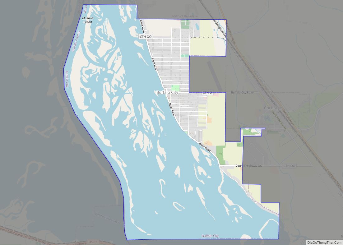
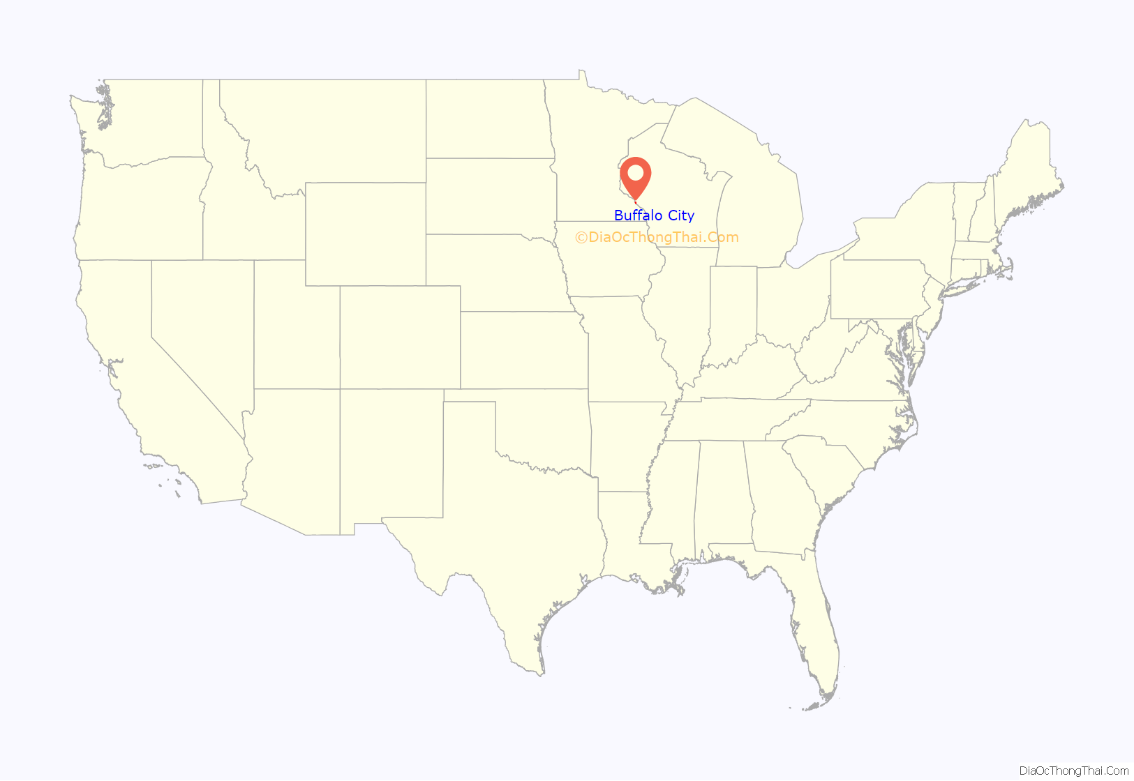
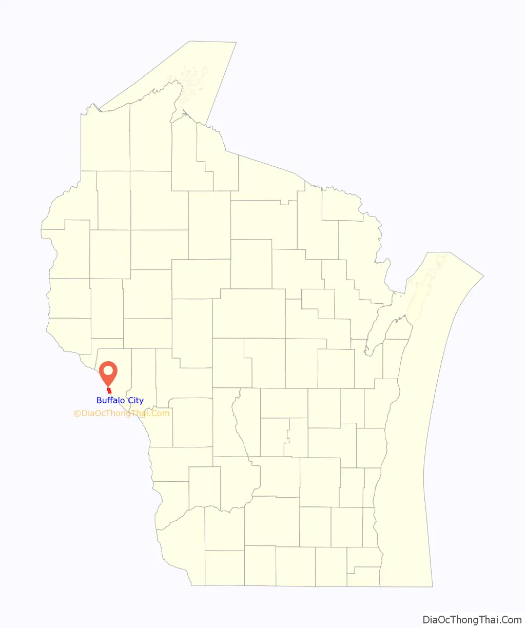
Buffalo City location map. Where is Buffalo City city?
History
The name may be derived from a buffalo animal husbandry operation in the past. The city was chartered in 1859. At that time it was the only city in Buffalo County.
The town may have been named for three brothers who raised buffalo on a bluff overlooking the city.
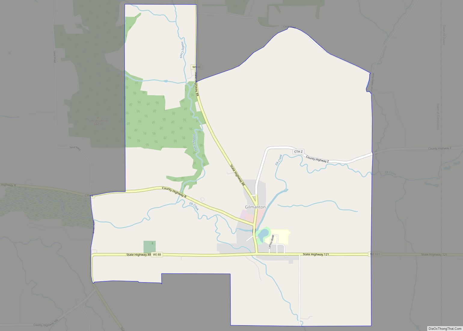
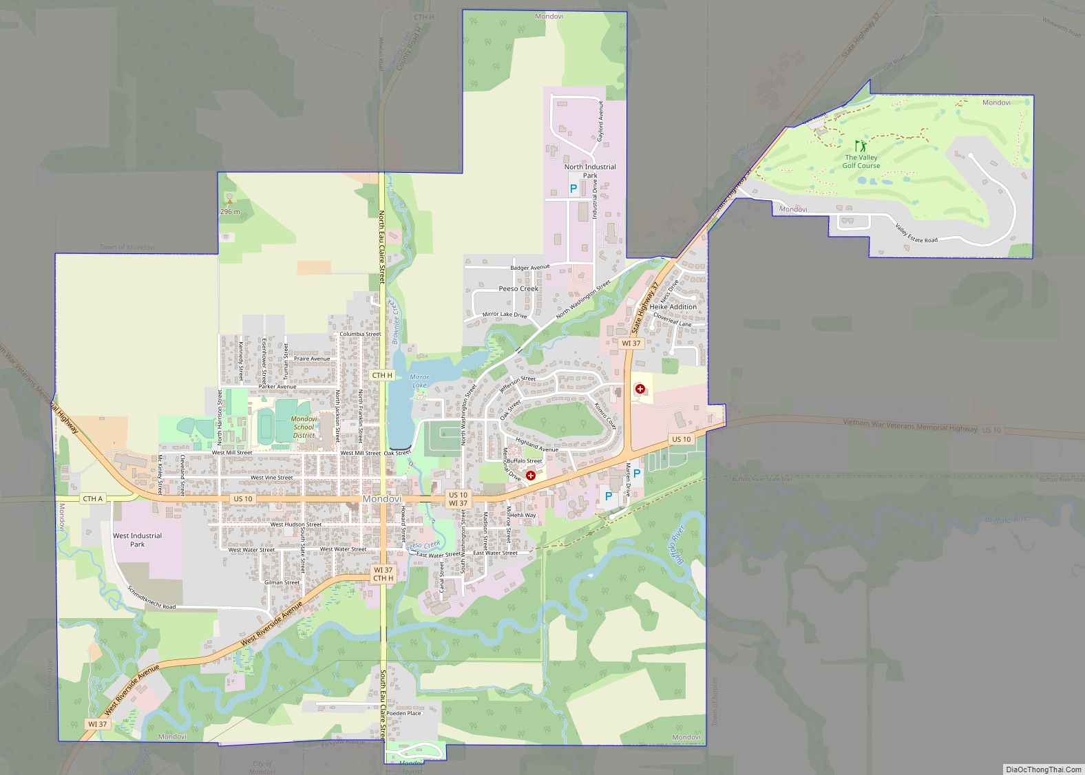
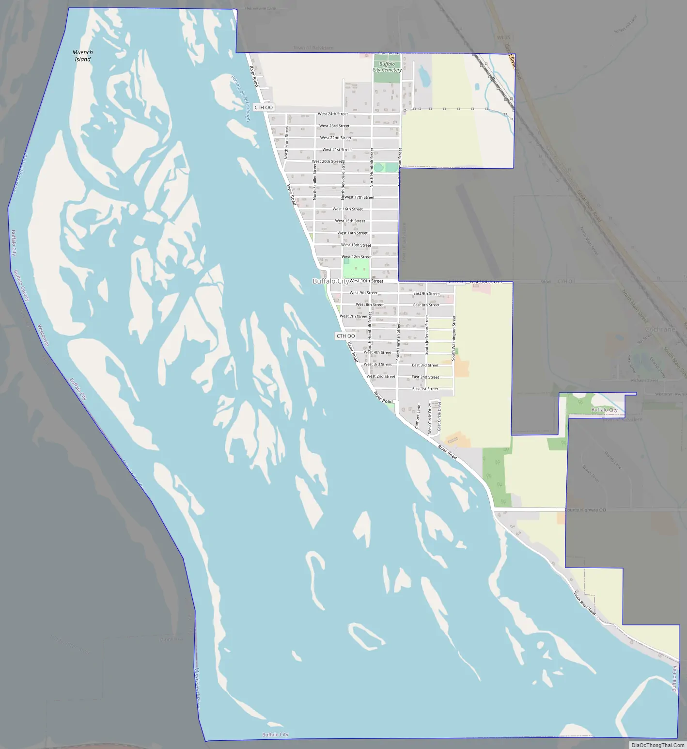
Buffalo City Road Map
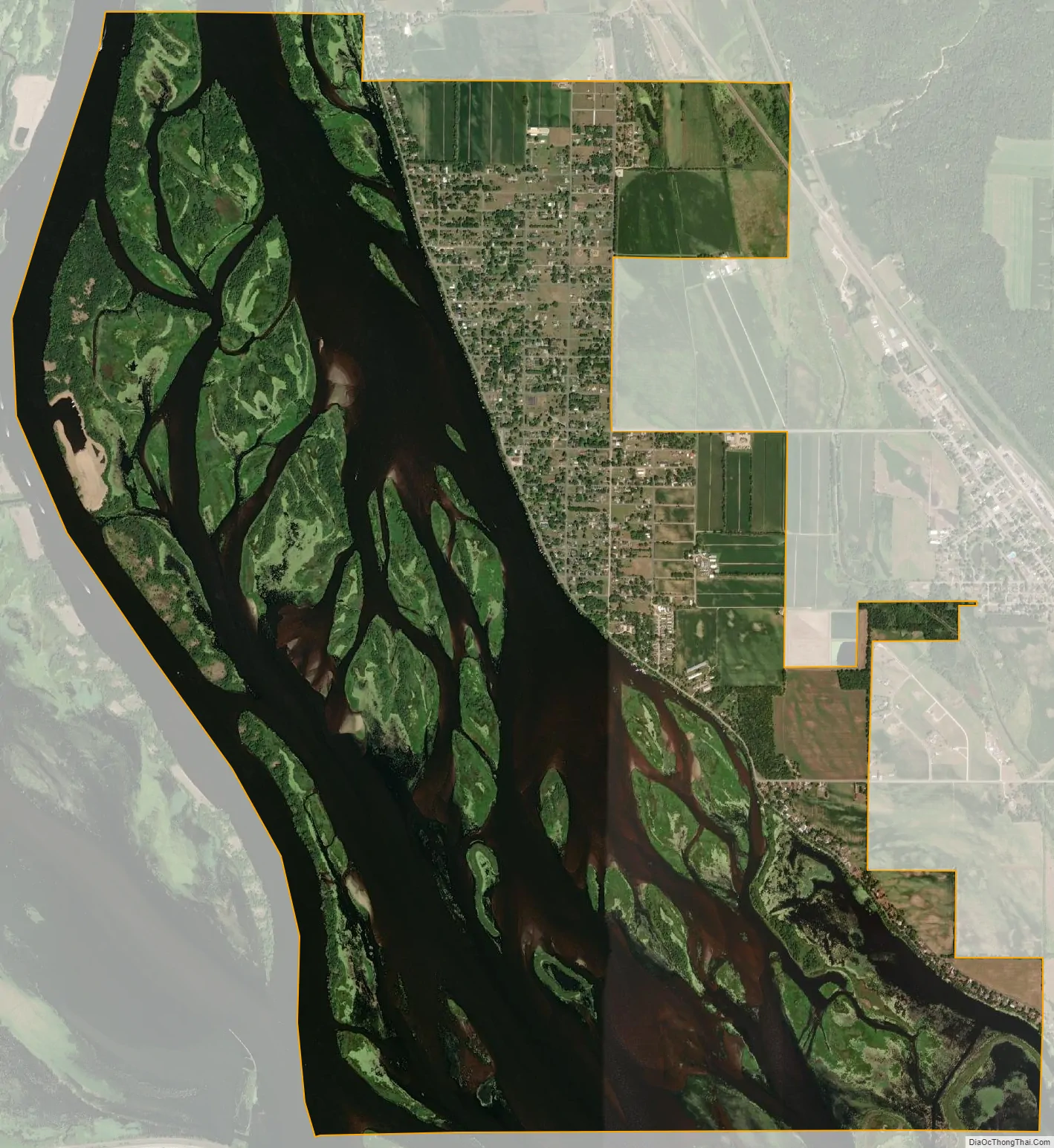
Buffalo City city Satellite Map
Geography
Buffalo City is located at 44°13′59″N 91°51′44″W / 44.23306°N 91.86222°W / 44.23306; -91.86222 (44.233180, -91.862219).
According to the United States Census Bureau, the city has a total area of 6.04 square miles (15.64 km), of which, 2.11 square miles (5.46 km) is land and 3.93 square miles (10.18 km) is water.
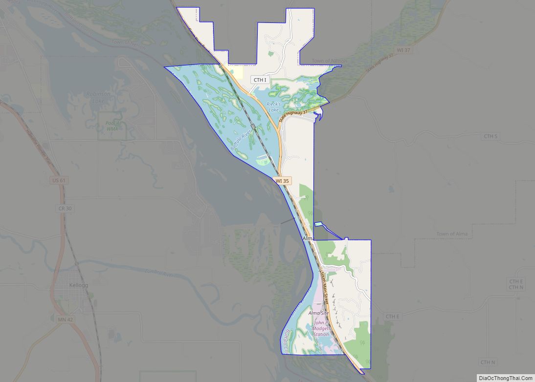
It is located west of Cochrane, Wisconsin on the shore of Spring Lake, a backwater of the Mississippi River.
See also
Map of Wisconsin State and its subdivision:- Adams
- Ashland
- Barron
- Bayfield
- Brown
- Buffalo
- Burnett
- Calumet
- Chippewa
- Clark
- Columbia
- Crawford
- Dane
- Dodge
- Door
- Douglas
- Dunn
- Eau Claire
- Florence
- Fond du Lac
- Forest
- Grant
- Green
- Green Lake
- Iowa
- Iron
- Jackson
- Jefferson
- Juneau
- Kenosha
- Kewaunee
- La Crosse
- Lafayette
- Lake Michigan
- Lake Superior
- Langlade
- Lincoln
- Manitowoc
- Marathon
- Marinette
- Marquette
- Menominee
- Milwaukee
- Monroe
- Oconto
- Oneida
- Outagamie
- Ozaukee
- Pepin
- Pierce
- Polk
- Portage
- Price
- Racine
- Richland
- Rock
- Rusk
- Saint Croix
- Sauk
- Sawyer
- Shawano
- Sheboygan
- Taylor
- Trempealeau
- Vernon
- Vilas
- Walworth
- Washburn
- Washington
- Waukesha
- Waupaca
- Waushara
- Winnebago
- Wood
- Alabama
- Alaska
- Arizona
- Arkansas
- California
- Colorado
- Connecticut
- Delaware
- District of Columbia
- Florida
- Georgia
- Hawaii
- Idaho
- Illinois
- Indiana
- Iowa
- Kansas
- Kentucky
- Louisiana
- Maine
- Maryland
- Massachusetts
- Michigan
- Minnesota
- Mississippi
- Missouri
- Montana
- Nebraska
- Nevada
- New Hampshire
- New Jersey
- New Mexico
- New York
- North Carolina
- North Dakota
- Ohio
- Oklahoma
- Oregon
- Pennsylvania
- Rhode Island
- South Carolina
- South Dakota
- Tennessee
- Texas
- Utah
- Vermont
- Virginia
- Washington
- West Virginia
- Wisconsin
- Wyoming