Butte des Morts is an unincorporated census-designated place in the town of Winneconne, in Winnebago County, Wisconsin, United States.
As of the 2010 census, its population was 962. The community is located at the north side of (Big) Lake Butte des Morts on the former route of Wisconsin Highway 110. The name means “hill of the dead” in French. Butte des Morts uses the ZIP code 54927. The Augustin Grignon Hotel, listed on the National Register of Historic Places, is located within the community. Butte des Morts has an area of 1.246 square miles (3.23 km); 1.225 square miles (3.17 km) of this is land, and 0.021 square miles (0.054 km) is water.
Origin of Name
In 1730 French soldiers and Menominee warriors massacred people of the Sauk Nation. The French named the place the Hill of the Dead, or Butte des Morts.
| Name: | Butte des Morts CDP |
|---|---|
| LSAD Code: | 57 |
| LSAD Description: | CDP (suffix) |
| State: | Wisconsin |
| County: | Winnebago County |
| Elevation: | 775 ft (236 m) |
| Total Area: | 1.24 sq mi (3.22 km²) |
| Land Area: | 1.22 sq mi (3.17 km²) |
| Water Area: | 0.02 sq mi (0.05 km²) |
| Total Population: | 962 |
| Population Density: | 786/sq mi (303.5/km²) |
| ZIP code: | 54927 |
| Area code: | 920 |
| FIPS code: | 5511500 |
| GNISfeature ID: | 1562472 |
Online Interactive Map
Click on ![]() to view map in "full screen" mode.
to view map in "full screen" mode.
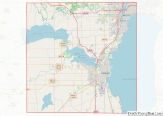
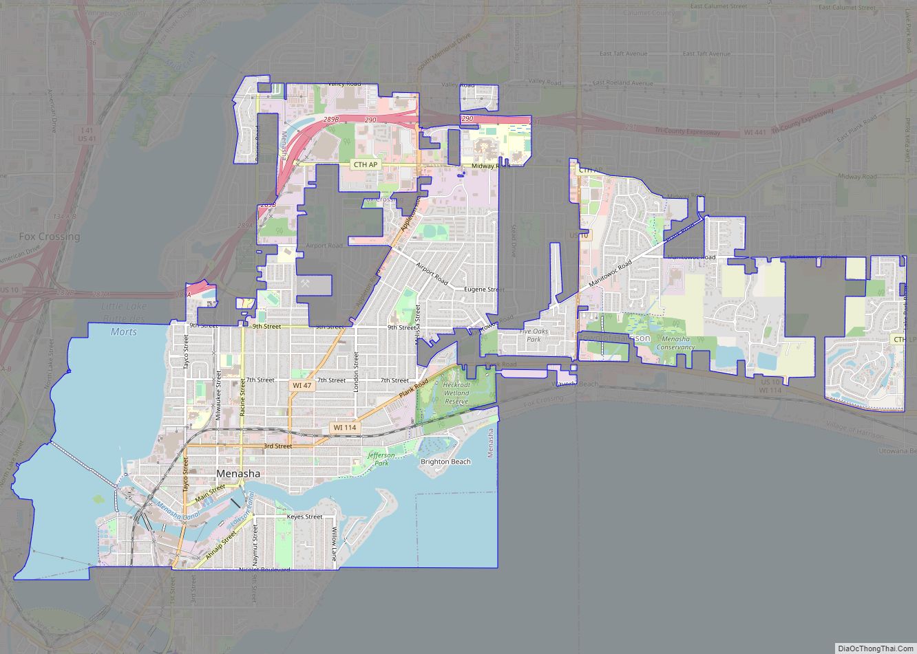
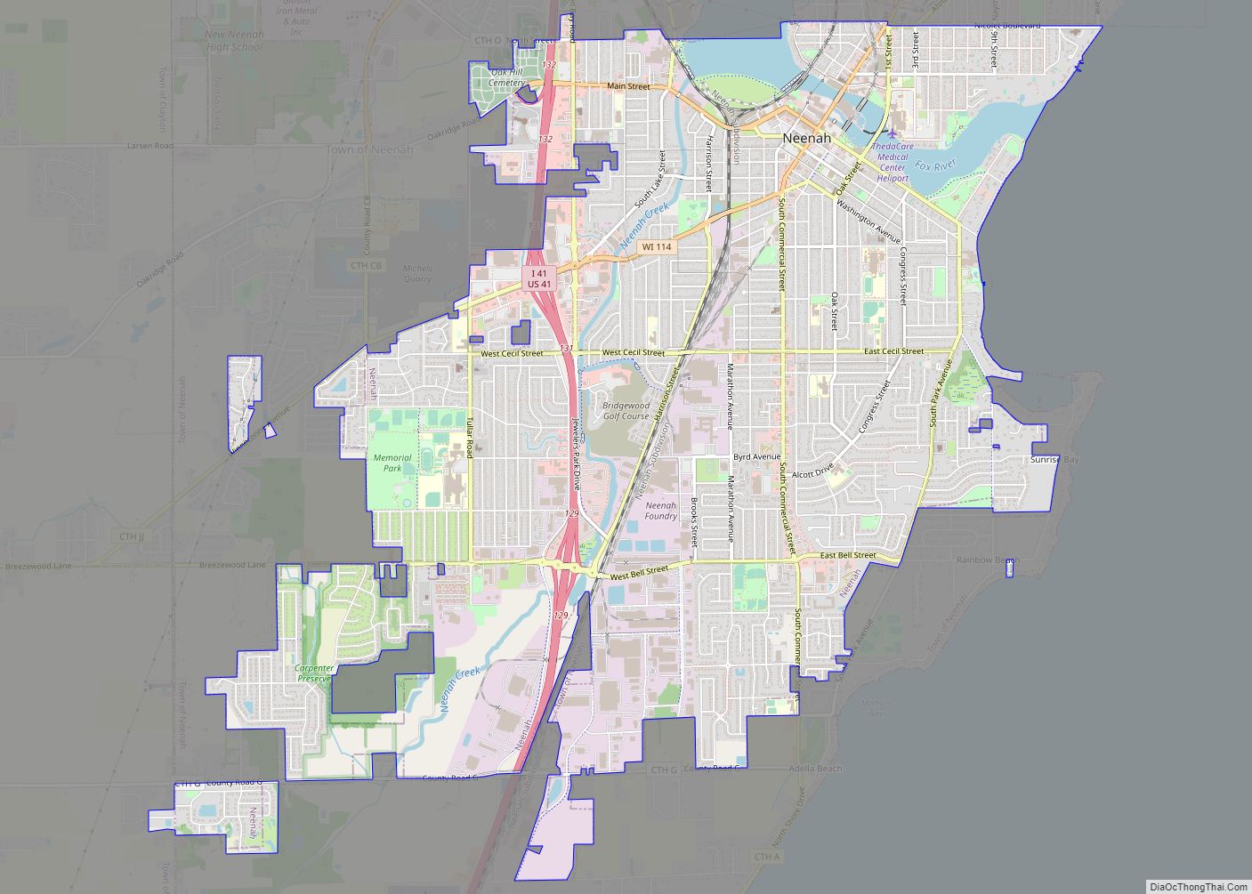
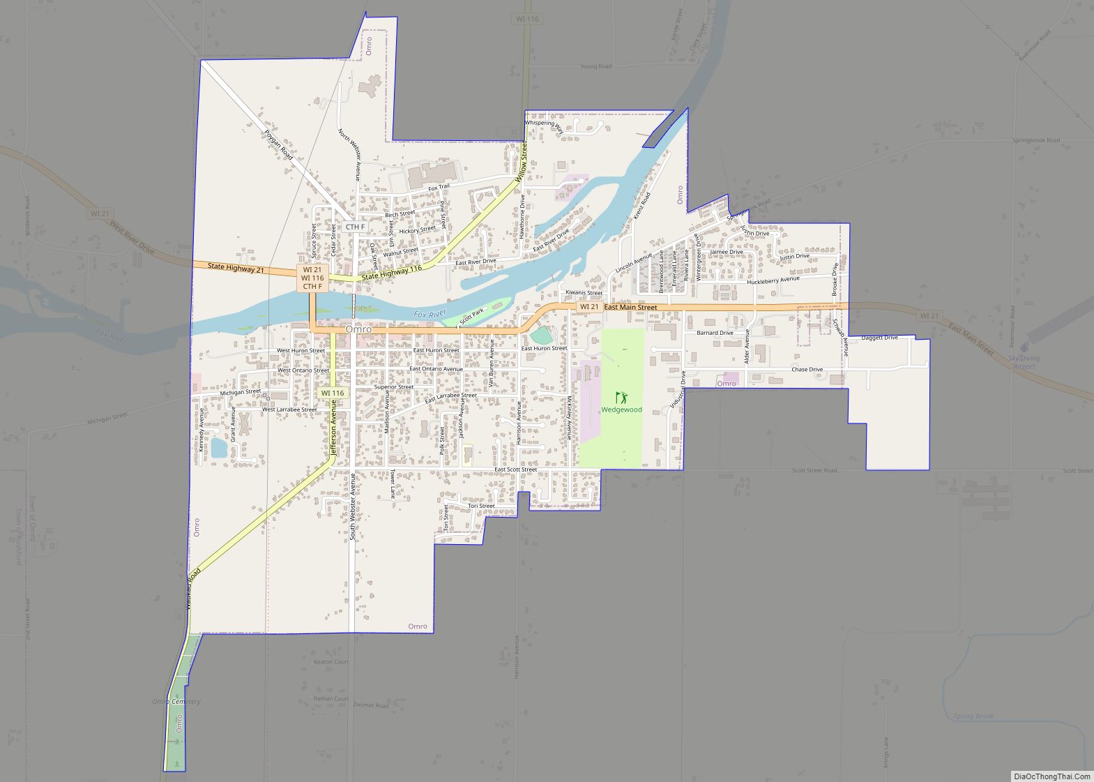
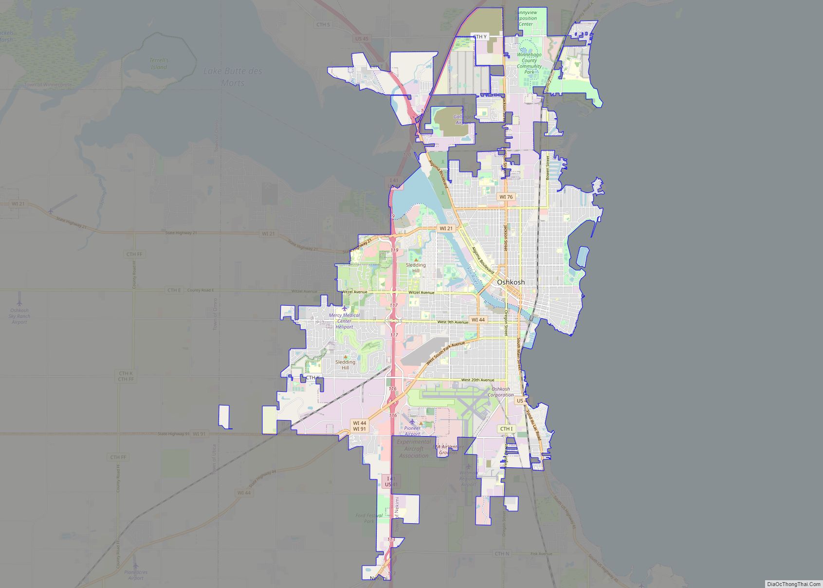
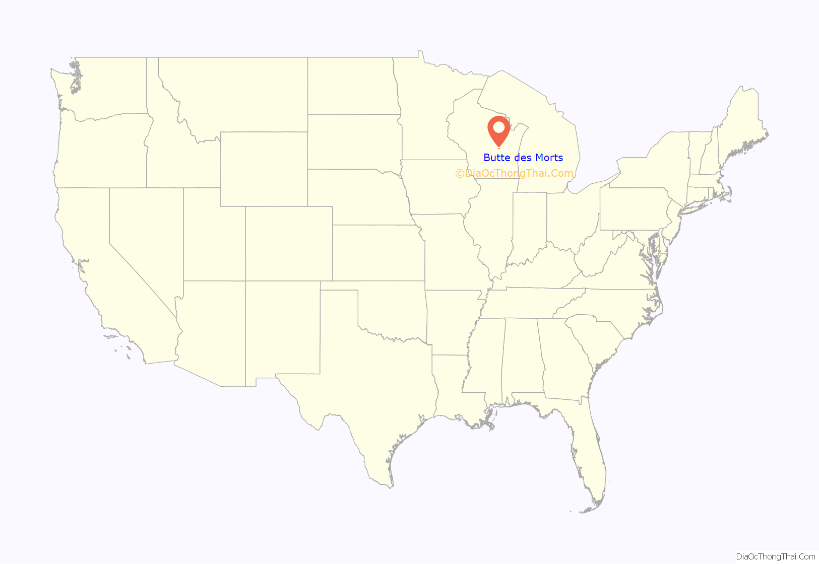
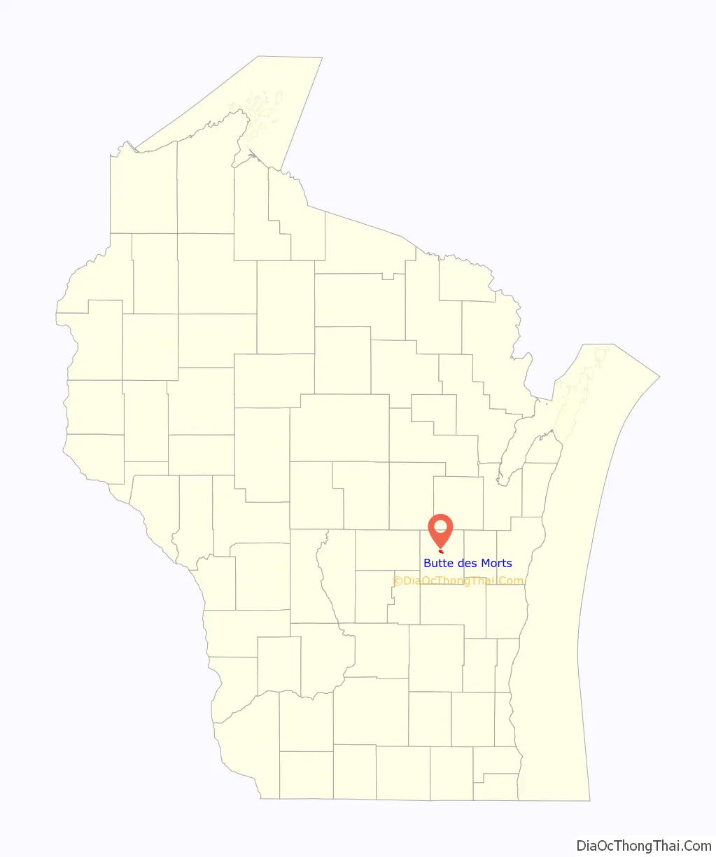
Butte des Morts location map. Where is Butte des Morts CDP?
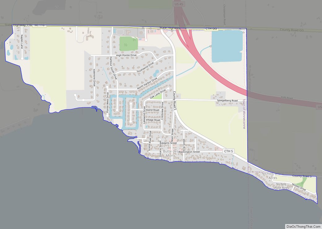
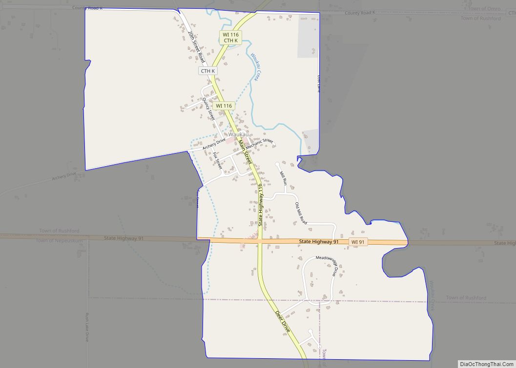
Butte des Morts Road Map
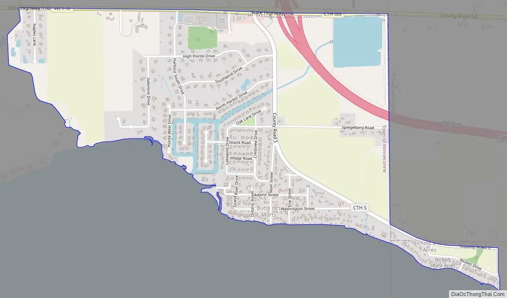
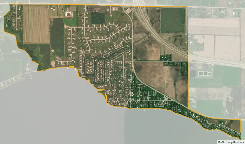
Butte des Morts city Satellite Map
See also
Map of Wisconsin State and its subdivision:- Adams
- Ashland
- Barron
- Bayfield
- Brown
- Buffalo
- Burnett
- Calumet
- Chippewa
- Clark
- Columbia
- Crawford
- Dane
- Dodge
- Door
- Douglas
- Dunn
- Eau Claire
- Florence
- Fond du Lac
- Forest
- Grant
- Green
- Green Lake
- Iowa
- Iron
- Jackson
- Jefferson
- Juneau
- Kenosha
- Kewaunee
- La Crosse
- Lafayette
- Lake Michigan
- Lake Superior
- Langlade
- Lincoln
- Manitowoc
- Marathon
- Marinette
- Marquette
- Menominee
- Milwaukee
- Monroe
- Oconto
- Oneida
- Outagamie
- Ozaukee
- Pepin
- Pierce
- Polk
- Portage
- Price
- Racine
- Richland
- Rock
- Rusk
- Saint Croix
- Sauk
- Sawyer
- Shawano
- Sheboygan
- Taylor
- Trempealeau
- Vernon
- Vilas
- Walworth
- Washburn
- Washington
- Waukesha
- Waupaca
- Waushara
- Winnebago
- Wood
- Alabama
- Alaska
- Arizona
- Arkansas
- California
- Colorado
- Connecticut
- Delaware
- District of Columbia
- Florida
- Georgia
- Hawaii
- Idaho
- Illinois
- Indiana
- Iowa
- Kansas
- Kentucky
- Louisiana
- Maine
- Maryland
- Massachusetts
- Michigan
- Minnesota
- Mississippi
- Missouri
- Montana
- Nebraska
- Nevada
- New Hampshire
- New Jersey
- New Mexico
- New York
- North Carolina
- North Dakota
- Ohio
- Oklahoma
- Oregon
- Pennsylvania
- Rhode Island
- South Carolina
- South Dakota
- Tennessee
- Texas
- Utah
- Vermont
- Virginia
- Washington
- West Virginia
- Wisconsin
- Wyoming