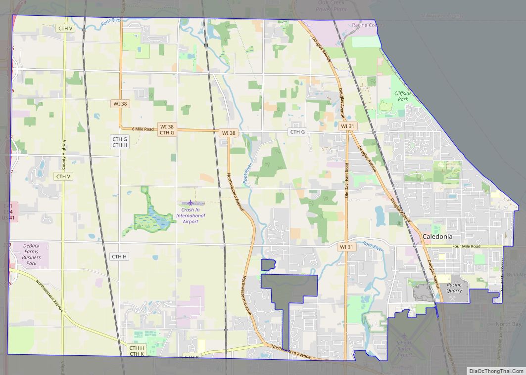
Caledonia is a village in Racine County, Wisconsin, United States. The population was 25,361 at the 2020 census. The residential community of Franksville is located within the village. Franksville is a former census-designated place. The residential neighborhood of Husher is also located within the village.
| Name: | Caledonia village |
|---|---|
| LSAD Code: | 47 |
| LSAD Description: | village (suffix) |
| State: | Wisconsin |
| County: | Racine County |
| Elevation: | 659 ft (201 m) |
| Total Area: | 45.52 sq mi (117.89 km²) |
| Land Area: | 45.23 sq mi (117.13 km²) |
| Water Area: | 0.29 sq mi (0.76 km²) 6.75% |
| Total Population: | 25,361 |
| Population Density: | 558.90/sq mi (215.80/km²) |
| ZIP code: | 53108 |
| Area code: | 262 |
| FIPS code: | 5511950 |
| GNISfeature ID: | 1582904 |
| Website: | http://www.caledoniawi.com |
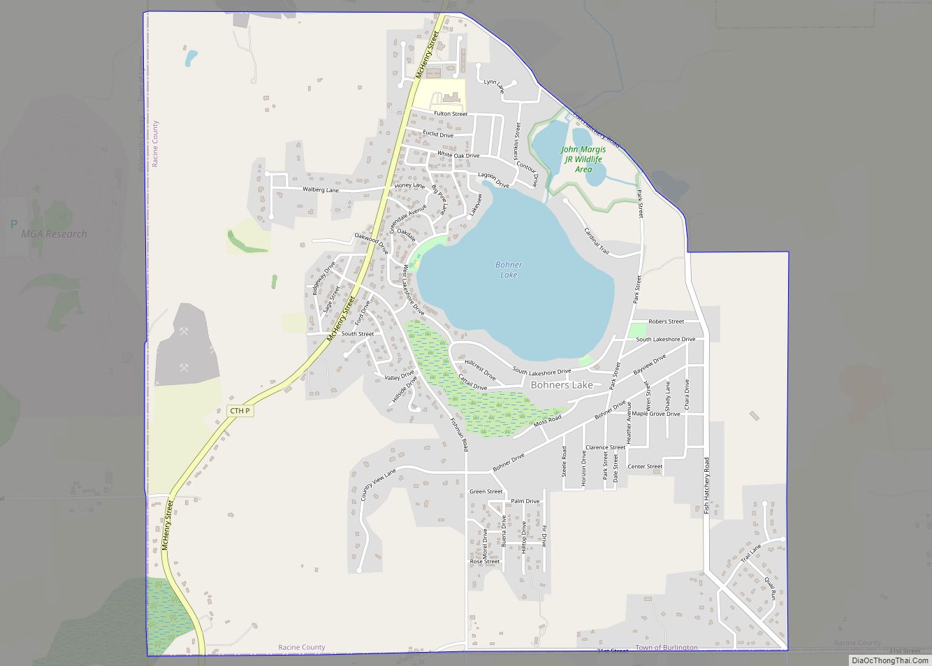
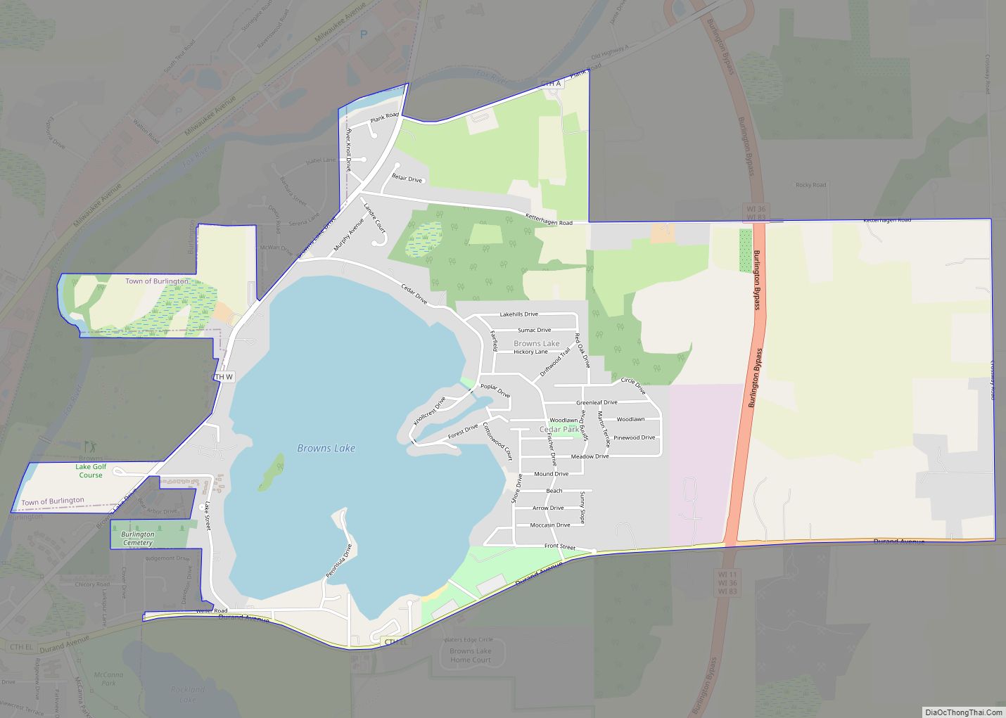
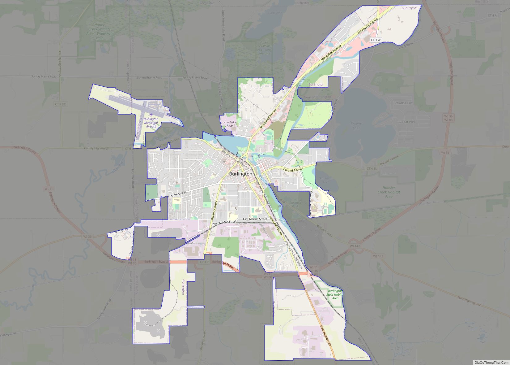
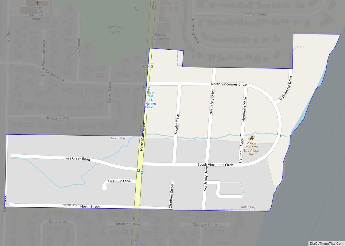
Online Interactive Map
Click on ![]() to view map in "full screen" mode.
to view map in "full screen" mode.
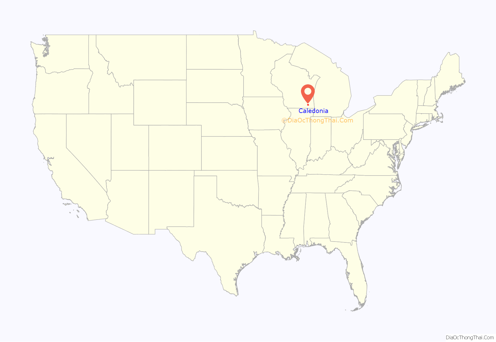
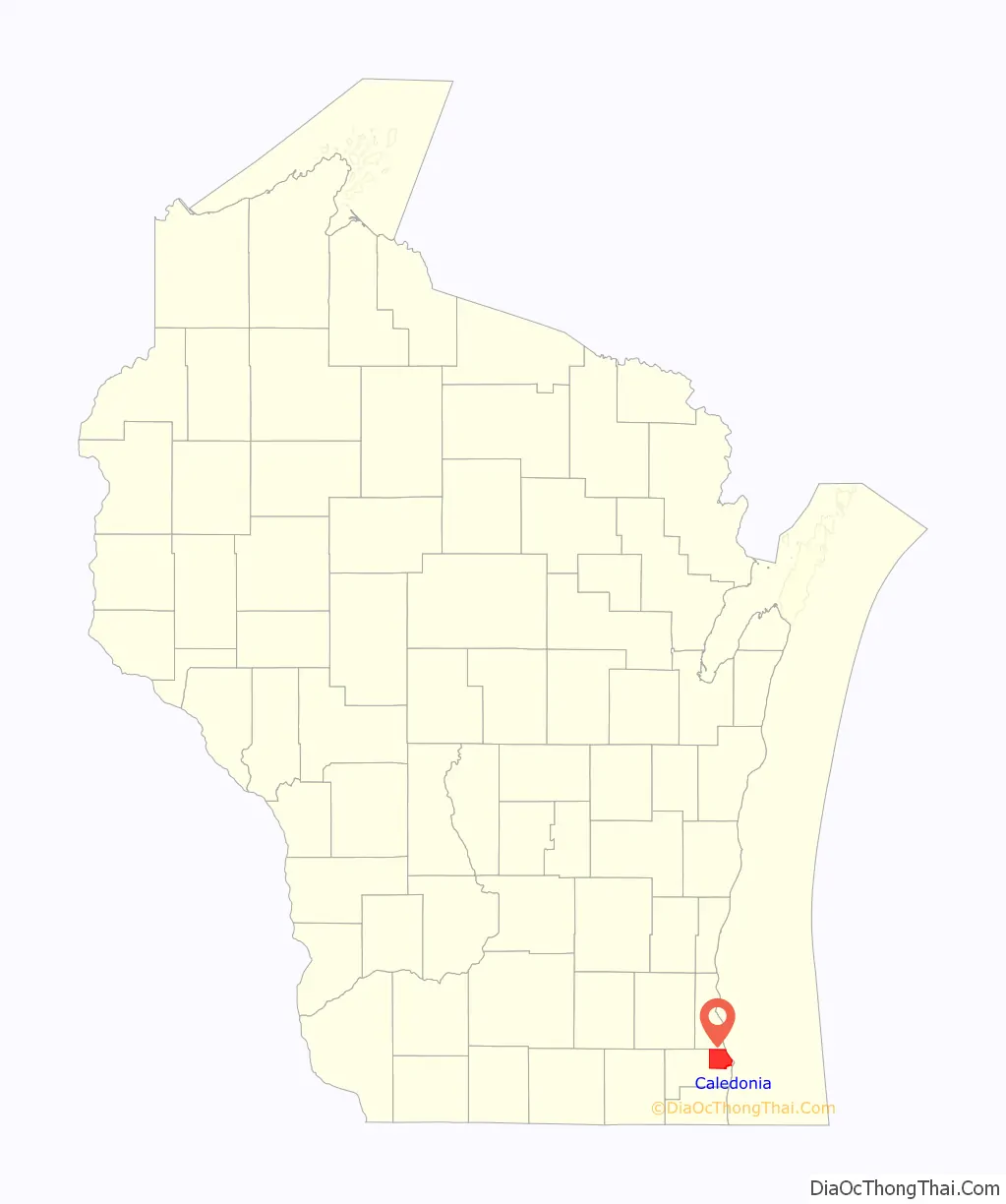
Caledonia location map. Where is Caledonia village?
History
Prior to January 2006, Caledonia was a town. After the state government denied Caledonia’s request to become a village, the state legislature enacted a special exemption, allowing Caledonia to proceed. A referendum in 2005 allowed Caledonia to become a village.
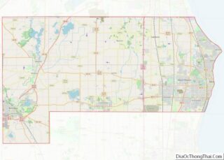
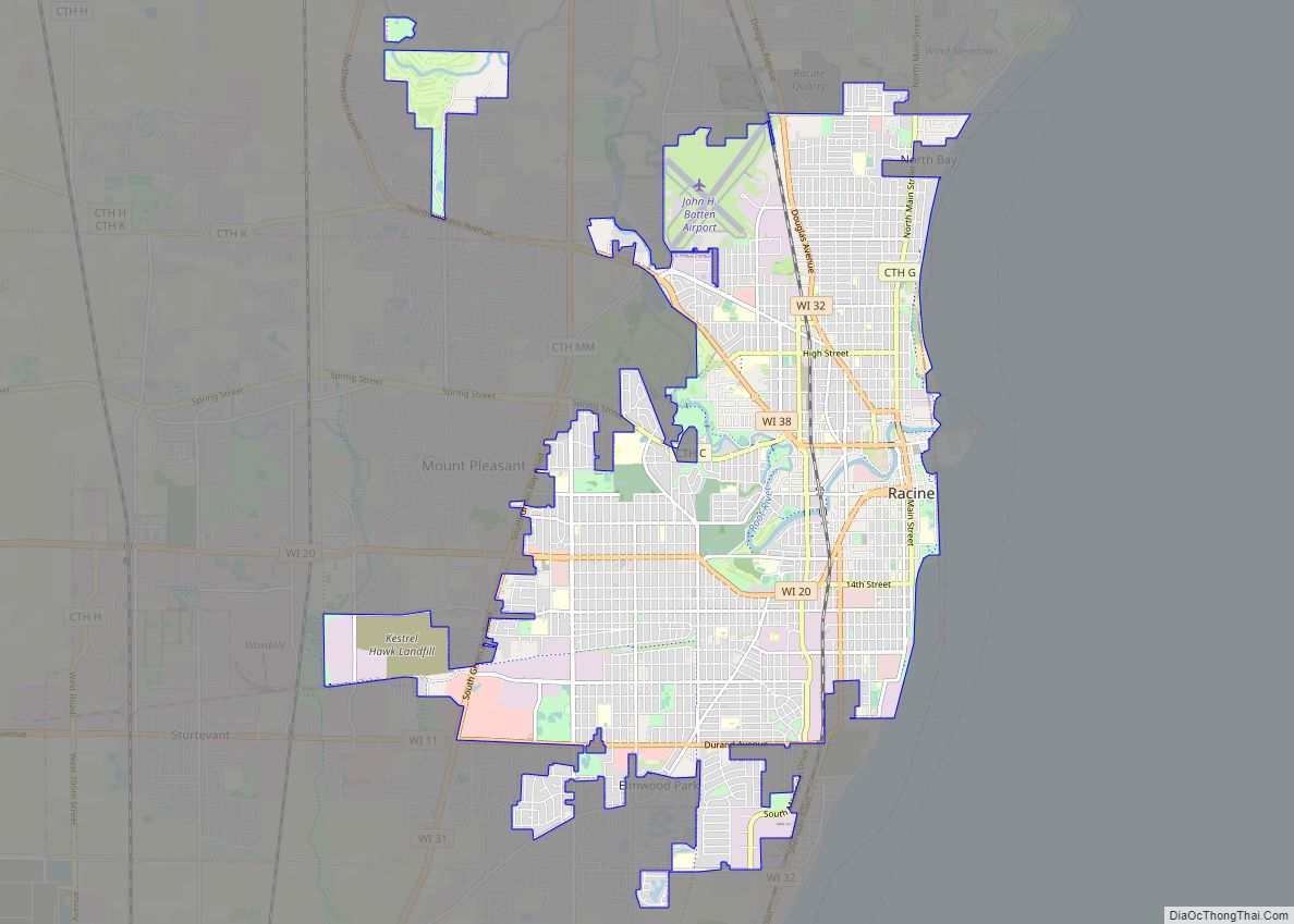
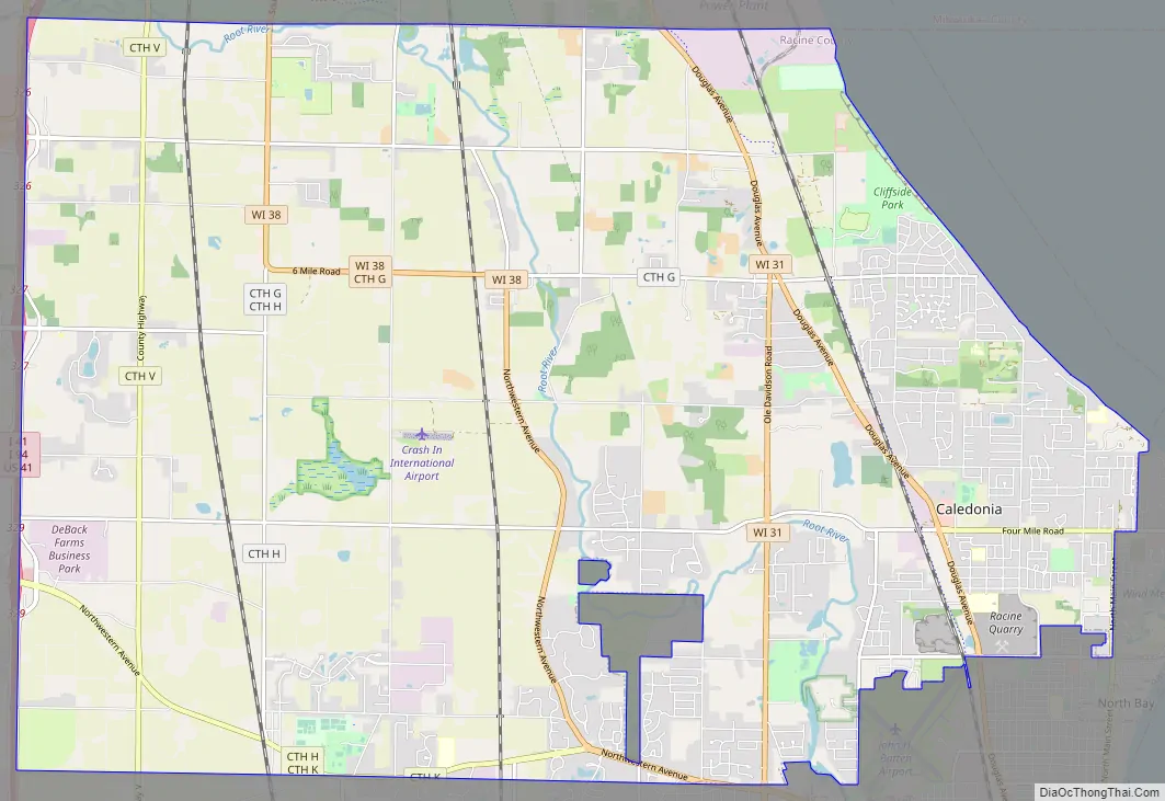
Caledonia Road Map
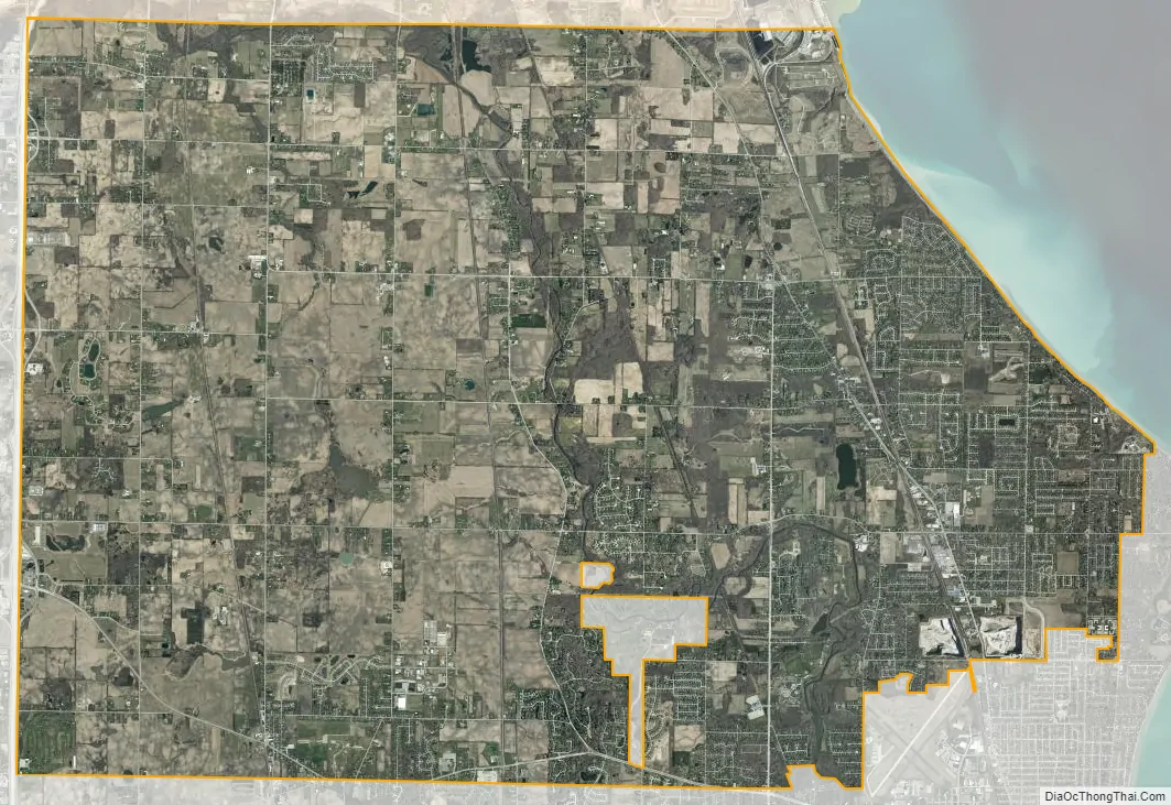
Caledonia city Satellite Map
Geography
According to the United States Census Bureau, the village has a total area of 48.72 square miles (126.18 km), of which, 45.43 square miles (117.66 km) of it is land and 3.29 square miles (8.52 km) is water.
See also
Map of Wisconsin State and its subdivision:- Adams
- Ashland
- Barron
- Bayfield
- Brown
- Buffalo
- Burnett
- Calumet
- Chippewa
- Clark
- Columbia
- Crawford
- Dane
- Dodge
- Door
- Douglas
- Dunn
- Eau Claire
- Florence
- Fond du Lac
- Forest
- Grant
- Green
- Green Lake
- Iowa
- Iron
- Jackson
- Jefferson
- Juneau
- Kenosha
- Kewaunee
- La Crosse
- Lafayette
- Lake Michigan
- Lake Superior
- Langlade
- Lincoln
- Manitowoc
- Marathon
- Marinette
- Marquette
- Menominee
- Milwaukee
- Monroe
- Oconto
- Oneida
- Outagamie
- Ozaukee
- Pepin
- Pierce
- Polk
- Portage
- Price
- Racine
- Richland
- Rock
- Rusk
- Saint Croix
- Sauk
- Sawyer
- Shawano
- Sheboygan
- Taylor
- Trempealeau
- Vernon
- Vilas
- Walworth
- Washburn
- Washington
- Waukesha
- Waupaca
- Waushara
- Winnebago
- Wood
- Alabama
- Alaska
- Arizona
- Arkansas
- California
- Colorado
- Connecticut
- Delaware
- District of Columbia
- Florida
- Georgia
- Hawaii
- Idaho
- Illinois
- Indiana
- Iowa
- Kansas
- Kentucky
- Louisiana
- Maine
- Maryland
- Massachusetts
- Michigan
- Minnesota
- Mississippi
- Missouri
- Montana
- Nebraska
- Nevada
- New Hampshire
- New Jersey
- New Mexico
- New York
- North Carolina
- North Dakota
- Ohio
- Oklahoma
- Oregon
- Pennsylvania
- Rhode Island
- South Carolina
- South Dakota
- Tennessee
- Texas
- Utah
- Vermont
- Virginia
- Washington
- West Virginia
- Wisconsin
- Wyoming