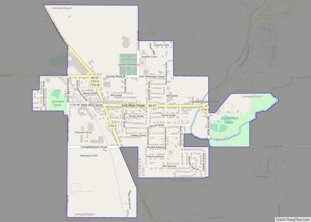
Campbellsport is a village in Fond du Lac County, Wisconsin, United States. The population was 2,016 at the 2010 census.
| Name: | Campbellsport village |
|---|---|
| LSAD Code: | 47 |
| LSAD Description: | village (suffix) |
| State: | Wisconsin |
| County: | Fond du Lac County |
| Elevation: | 1,027 ft (313 m) |
| Total Area: | 1.36 sq mi (3.51 km²) |
| Land Area: | 1.33 sq mi (3.46 km²) |
| Water Area: | 0.02 sq mi (0.06 km²) |
| Total Population: | 2,016 |
| Population Density: | 1,368.54/sq mi (528.50/km²) |
| Area code: | 920 |
| FIPS code: | 5512325 |
| GNISfeature ID: | 1562687 |
| Website: | campbellsport.govoffice.com |
Online Interactive Map
Click on ![]() to view map in "full screen" mode.
to view map in "full screen" mode.
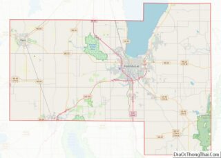
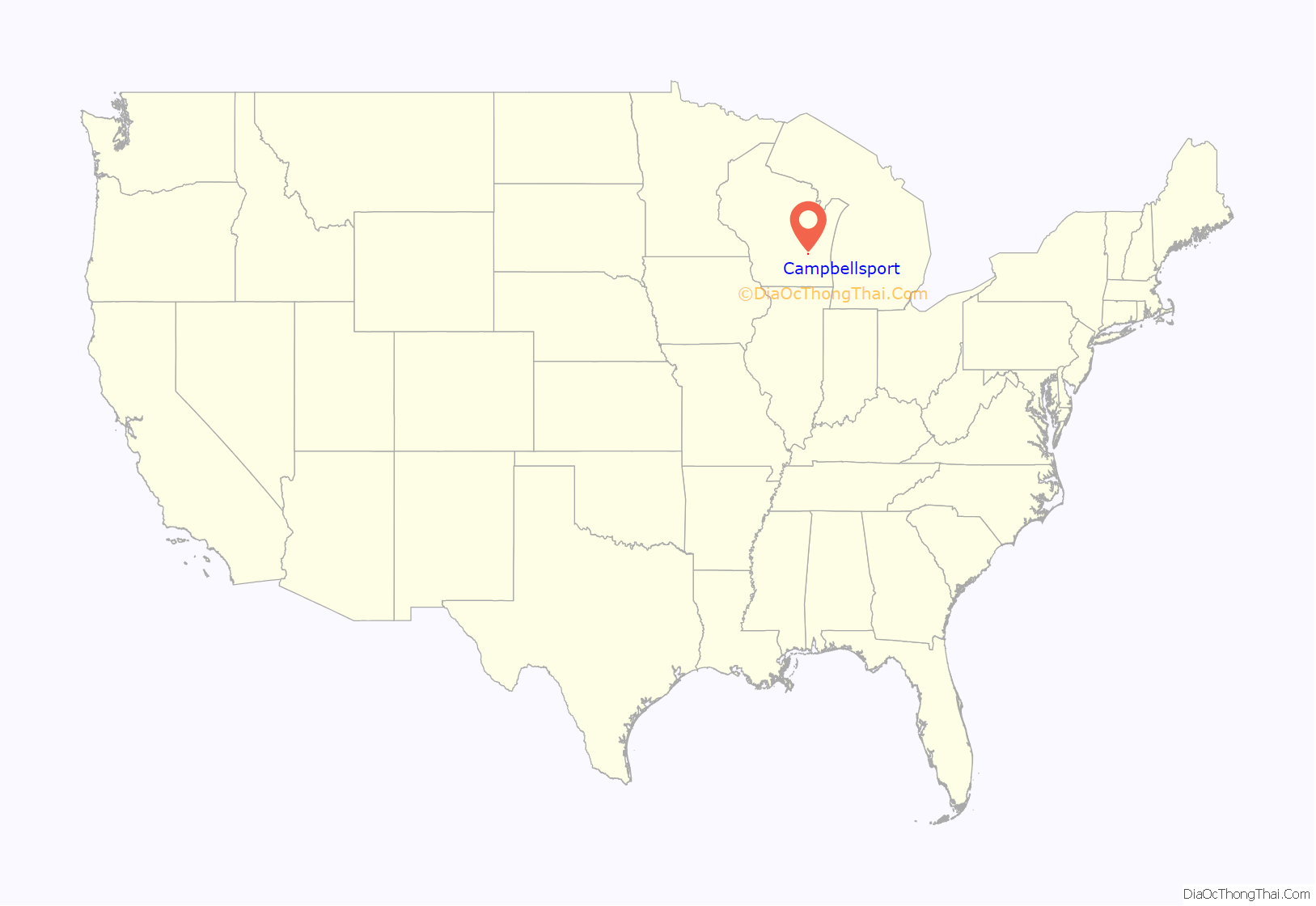
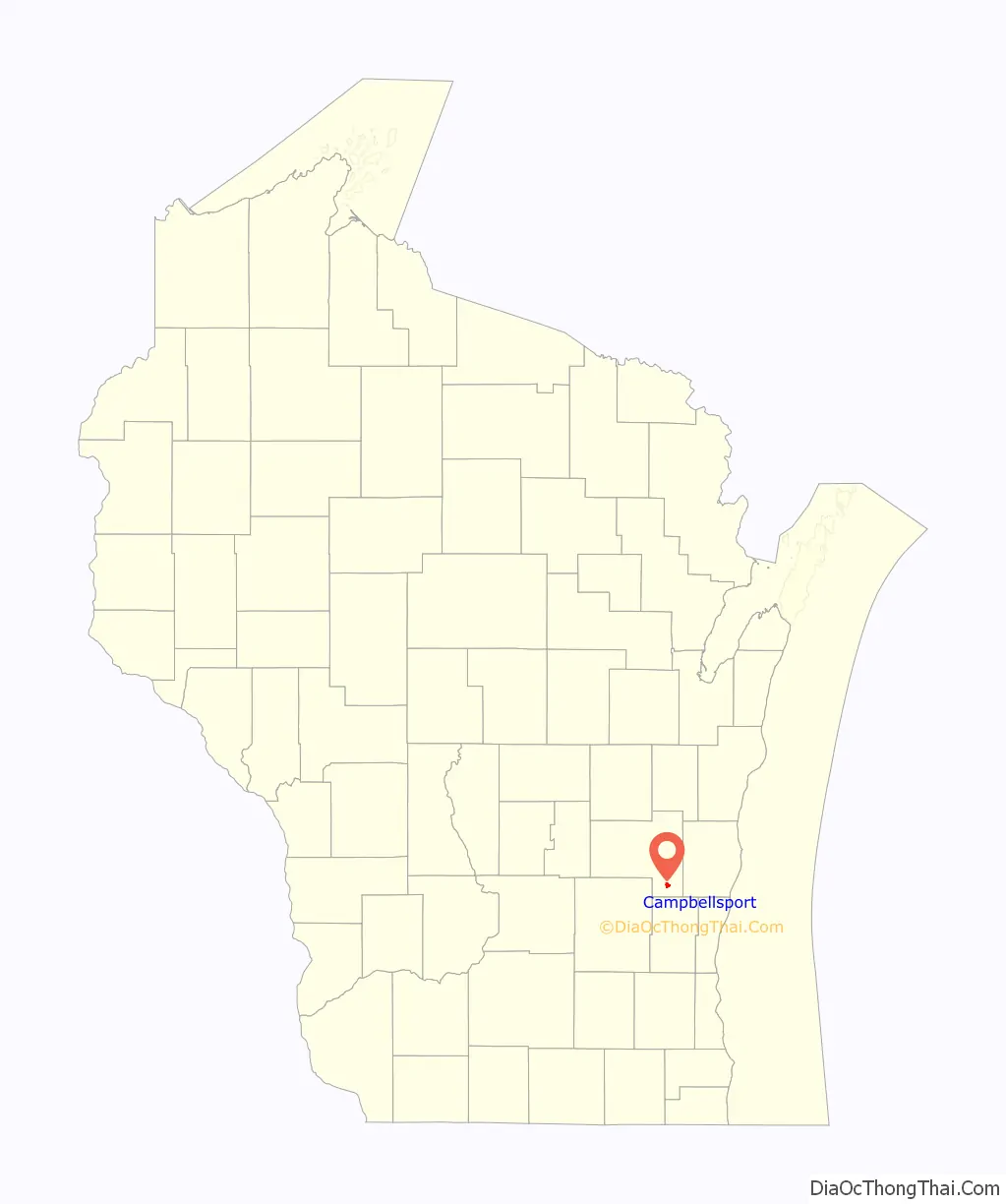
Campbellsport location map. Where is Campbellsport village?
History
The village was named after Stuart Campbell, an early settler. It was also called Campbell’s Port or West New Cassel. Campbellsport was incorporated in 1902, absorbing the older nearby village of New Cassel.
In 2008, the body of a female was discovered near Campbellsport. The identity of the individual found remained a mystery until 2021, when she was identified as Amy Yeary.
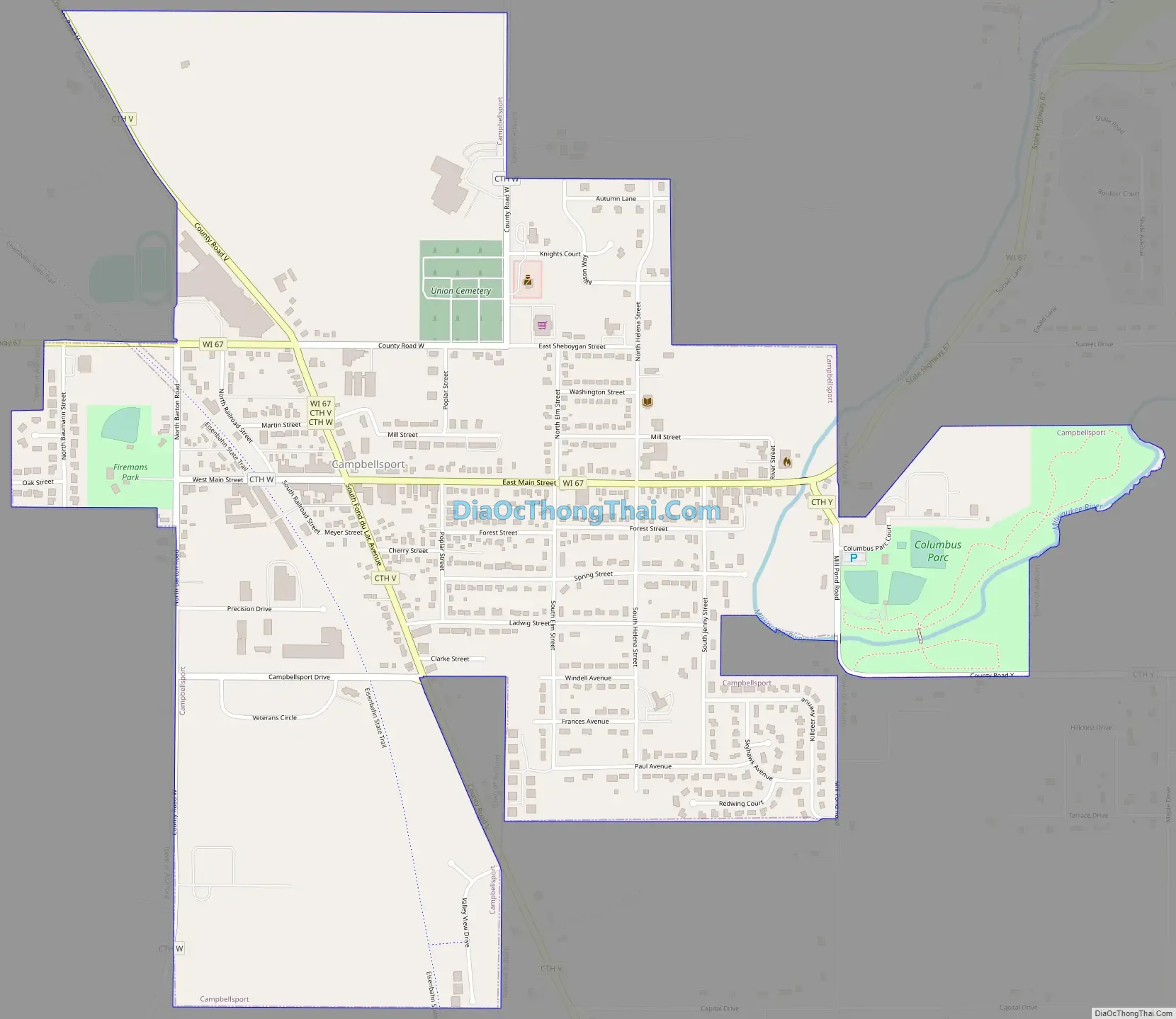
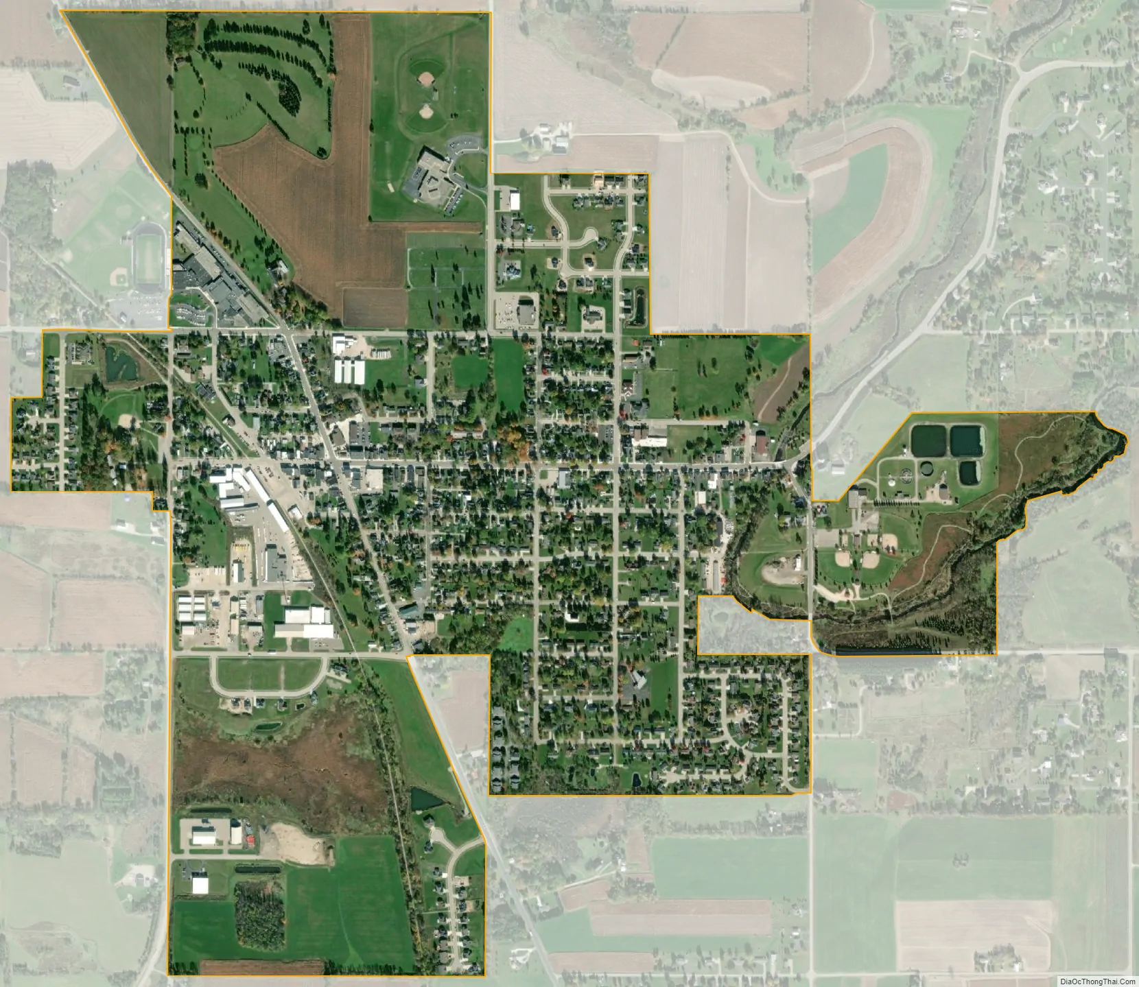
Campbellsport is a community of roughly 1850 citizens situated in the rolling hills of the Northern Kettle Moraine in Southeastern Wisconsin. It is a quiet village located on State Highway 67, between US Highways 41 and 45. The Milwaukee River flows through the east side of village and a discontinued railroad line is now a recreational trail, on the west side of the community. The local public school system serves the village as well as a large number of surrounding townships, the middle school and high school are located in Campbellsport, and the two elementary schools are located in Campbellsport and Eden. The area also has three private elementary schools, and busing is available to two private high schools in Fond du Lac.
Campbellsport has a well equipped volunteer Fire Department that also operates an EMT ambulance service for the surrounding area. There is one medical clinic, a chiropractor and two dental offices in the village. There are currently two village parks and a growing library. The library provides computers and wireless internet services. The Campbellsport Athletic Association offers a summer program of activities for the youth of the area.
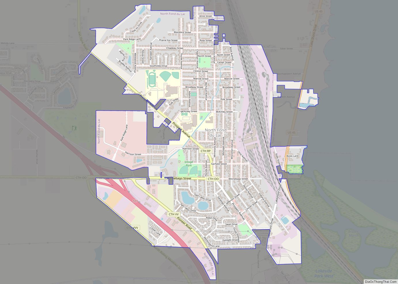
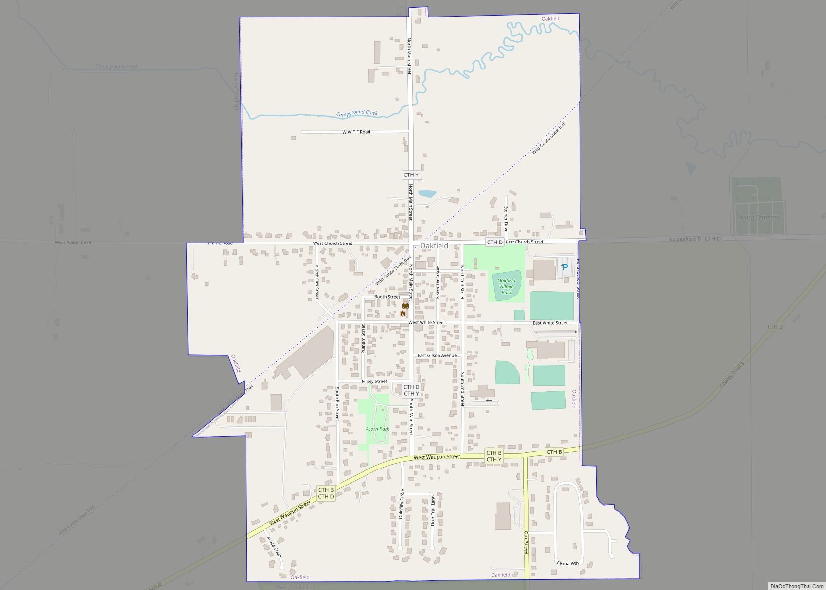
Campbellsport Road Map
Campbellsport city Satellite Map
Geography
Campbellsport is located at 43°35′51″N 88°16′50″W / 43.59750°N 88.28056°W / 43.59750; -88.28056 (43.597538, -88.280600).
According to the United States Census Bureau, the village has a total area of 1.35 square miles (3.50 km), of which, 1.33 square miles (3.44 km) of it is land and 0.02 square miles (0.05 km) is water. However, the Milwaukee River flows just east of the village.
See also
Map of Wisconsin State and its subdivision:- Adams
- Ashland
- Barron
- Bayfield
- Brown
- Buffalo
- Burnett
- Calumet
- Chippewa
- Clark
- Columbia
- Crawford
- Dane
- Dodge
- Door
- Douglas
- Dunn
- Eau Claire
- Florence
- Fond du Lac
- Forest
- Grant
- Green
- Green Lake
- Iowa
- Iron
- Jackson
- Jefferson
- Juneau
- Kenosha
- Kewaunee
- La Crosse
- Lafayette
- Lake Michigan
- Lake Superior
- Langlade
- Lincoln
- Manitowoc
- Marathon
- Marinette
- Marquette
- Menominee
- Milwaukee
- Monroe
- Oconto
- Oneida
- Outagamie
- Ozaukee
- Pepin
- Pierce
- Polk
- Portage
- Price
- Racine
- Richland
- Rock
- Rusk
- Saint Croix
- Sauk
- Sawyer
- Shawano
- Sheboygan
- Taylor
- Trempealeau
- Vernon
- Vilas
- Walworth
- Washburn
- Washington
- Waukesha
- Waupaca
- Waushara
- Winnebago
- Wood
- Alabama
- Alaska
- Arizona
- Arkansas
- California
- Colorado
- Connecticut
- Delaware
- District of Columbia
- Florida
- Georgia
- Hawaii
- Idaho
- Illinois
- Indiana
- Iowa
- Kansas
- Kentucky
- Louisiana
- Maine
- Maryland
- Massachusetts
- Michigan
- Minnesota
- Mississippi
- Missouri
- Montana
- Nebraska
- Nevada
- New Hampshire
- New Jersey
- New Mexico
- New York
- North Carolina
- North Dakota
- Ohio
- Oklahoma
- Oregon
- Pennsylvania
- Rhode Island
- South Carolina
- South Dakota
- Tennessee
- Texas
- Utah
- Vermont
- Virginia
- Washington
- West Virginia
- Wisconsin
- Wyoming