Chetek is a city in Barron County, Wisconsin, United States. The population was 2,221 at the 2010 census. The city is located partially within the Town of Chetek.
| Name: | Chetek city |
|---|---|
| LSAD Code: | 25 |
| LSAD Description: | city (suffix) |
| State: | Wisconsin |
| County: | Barron County |
| Elevation: | 1,050 ft (320 m) |
| Total Area: | 3.11 sq mi (8.05 km²) |
| Land Area: | 2.40 sq mi (6.21 km²) |
| Water Area: | 0.71 sq mi (1.85 km²) |
| Total Population: | 2,221 |
| Population Density: | 874.01/sq mi (337.46/km²) |
| Area code: | 715 & 534 |
| FIPS code: | 5514325 |
| GNISfeature ID: | 1562995 |
| Website: | cityofchetek-wi.gov |
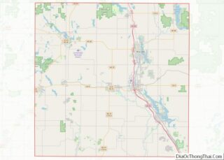
Online Interactive Map
Click on ![]() to view map in "full screen" mode.
to view map in "full screen" mode.
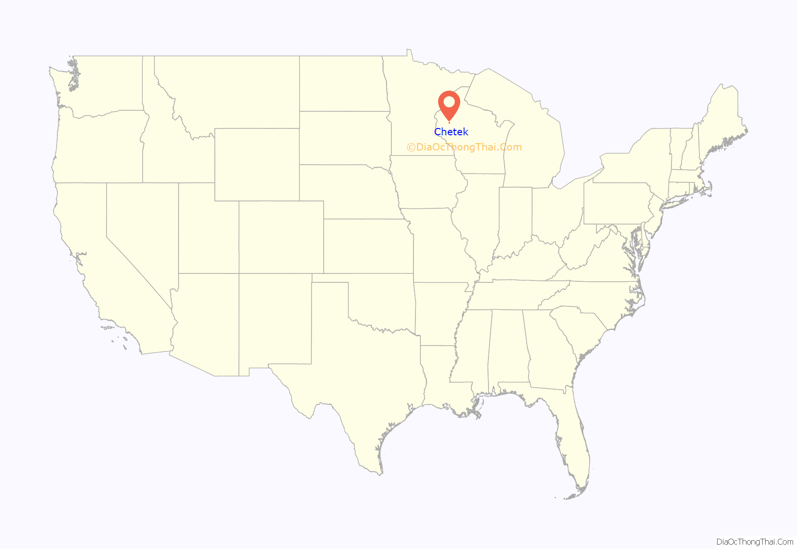
Chetek location map. Where is Chetek city?
History
The original inhabitants of the area were the Ojibwa Indians, who referred to the area as zhedeg, meaning pelicans. This was translated into various spellings, such as Sheetak, Shetak, Shetuk, Chetack, until the first post office was opened in 1872. The spelling was then standardized to “Chetek.”
In 1872, the Omaha Railroad began service to Chetek, the Knapp-Stout logging camp was established, and the first log schoolhouse was built.
Other important dates:
- 1881 – Medical care became available
- 1882 – The Chetek Alert began publication, a newspaper still serving the area
- 1891 – Became a city
- 1903 – Telephone service was introduced
- 1904 – Fire Department began
- 1960 – Roselawn Elementary opened
- 2010 – School District of Chetek consolidates with Weyerhaeuser School District
- 2017 – EF3 tornado swept through the town, killing one and injuring 25, as well as damaging and destroying structures.
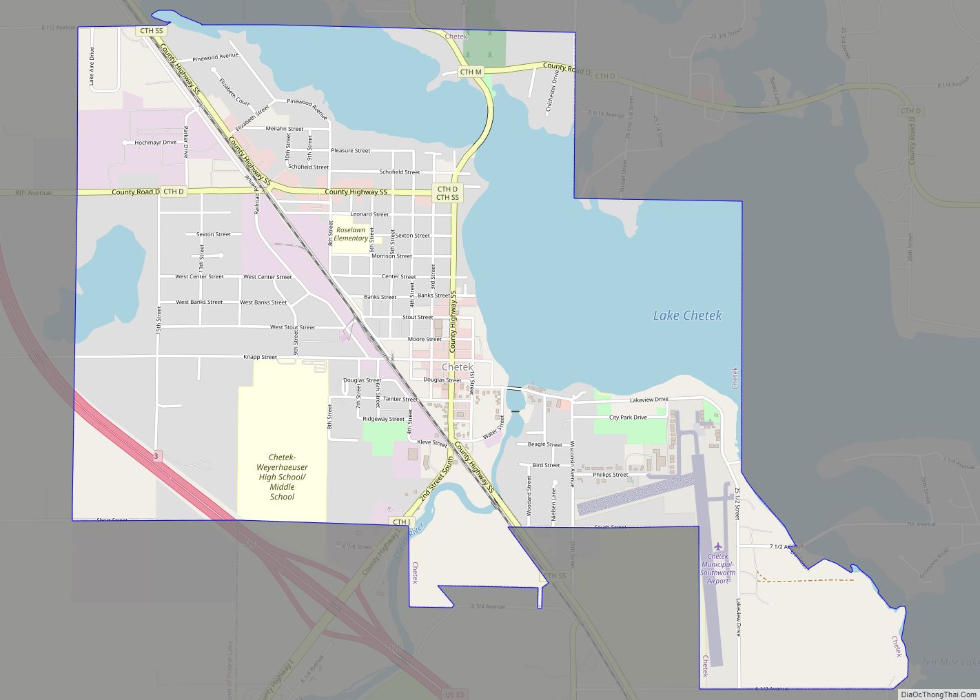
Chetek Road Map
Chetek city Satellite Map
Geography
Chetek is located at 45°19′7″N 91°39′16″W / 45.31861°N 91.65444°W / 45.31861; -91.65444 (45.318656, -91.65447).
According to the United States Census Bureau, the city has a total area of 3.13 square miles (8.11 km), of which 2.42 square miles (6.27 km) is land and 0.71 square miles (1.84 km) is water.
Chetek is along U.S. Highway 53, as well as County Roads I and SS.
See also
Map of Wisconsin State and its subdivision:- Adams
- Ashland
- Barron
- Bayfield
- Brown
- Buffalo
- Burnett
- Calumet
- Chippewa
- Clark
- Columbia
- Crawford
- Dane
- Dodge
- Door
- Douglas
- Dunn
- Eau Claire
- Florence
- Fond du Lac
- Forest
- Grant
- Green
- Green Lake
- Iowa
- Iron
- Jackson
- Jefferson
- Juneau
- Kenosha
- Kewaunee
- La Crosse
- Lafayette
- Lake Michigan
- Lake Superior
- Langlade
- Lincoln
- Manitowoc
- Marathon
- Marinette
- Marquette
- Menominee
- Milwaukee
- Monroe
- Oconto
- Oneida
- Outagamie
- Ozaukee
- Pepin
- Pierce
- Polk
- Portage
- Price
- Racine
- Richland
- Rock
- Rusk
- Saint Croix
- Sauk
- Sawyer
- Shawano
- Sheboygan
- Taylor
- Trempealeau
- Vernon
- Vilas
- Walworth
- Washburn
- Washington
- Waukesha
- Waupaca
- Waushara
- Winnebago
- Wood
- Alabama
- Alaska
- Arizona
- Arkansas
- California
- Colorado
- Connecticut
- Delaware
- District of Columbia
- Florida
- Georgia
- Hawaii
- Idaho
- Illinois
- Indiana
- Iowa
- Kansas
- Kentucky
- Louisiana
- Maine
- Maryland
- Massachusetts
- Michigan
- Minnesota
- Mississippi
- Missouri
- Montana
- Nebraska
- Nevada
- New Hampshire
- New Jersey
- New Mexico
- New York
- North Carolina
- North Dakota
- Ohio
- Oklahoma
- Oregon
- Pennsylvania
- Rhode Island
- South Carolina
- South Dakota
- Tennessee
- Texas
- Utah
- Vermont
- Virginia
- Washington
- West Virginia
- Wisconsin
- Wyoming
