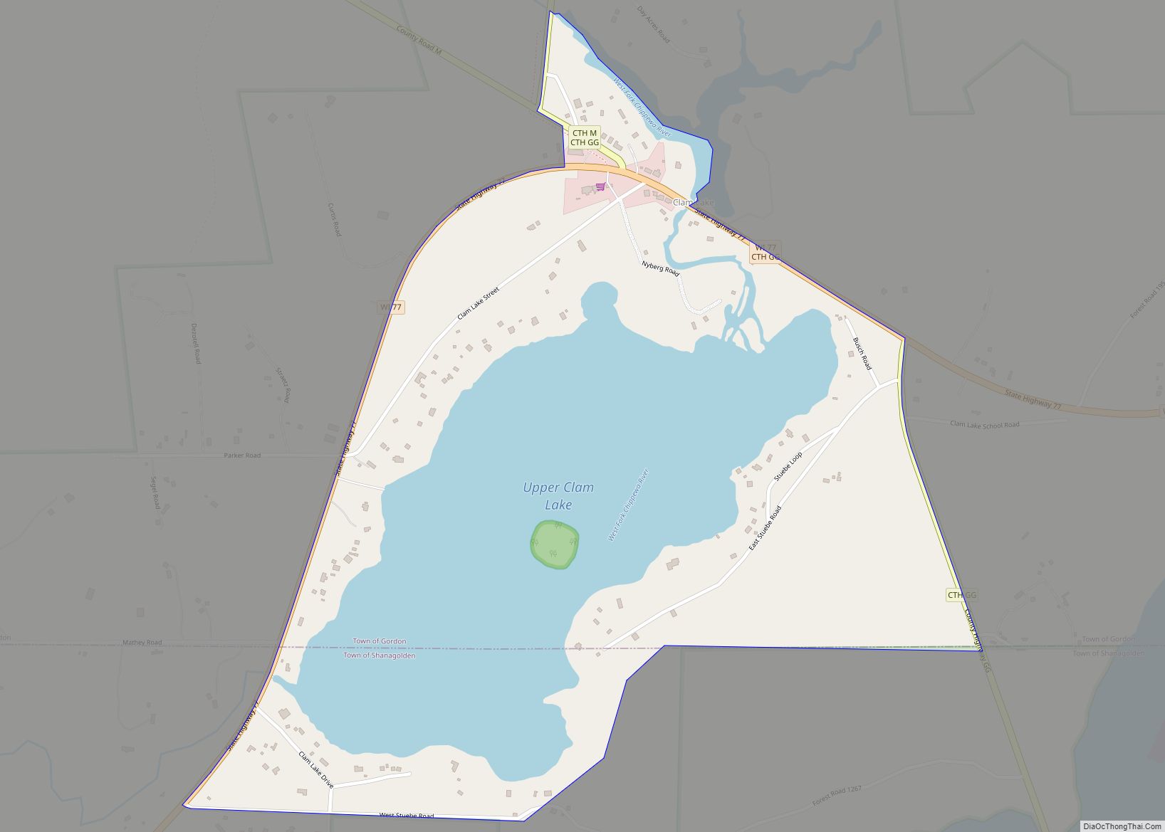
Clam Lake is an unincorporated, census-designated place in the town of Gordon in Ashland County, Wisconsin, United States. It is located on Wisconsin Highway 77 near County Highway GG. The entire area lies within the Chequamegon National Forest, an 860,000 acre area spread across northern Wisconsin. As of the 2010 census, its population was 37.
Situated near the headwaters of the Chippewa Flowage, the area encompasses several smaller lakes that host prime Musky fishing.
Clam Lake is well known as the site of the reintroduction of elk in Wisconsin with a herd of 25 in 1995 by the University of Wisconsin–Stevens Point, which has grown to an estimated 180.
Clam Lake is the site of a U.S. Navy extremely low frequency (ELF) transmitter site, used to communicate with deeply submerged submarines. It was used between 1985 and 2004 but is now decommissioned.
| Name: | Clam Lake CDP |
|---|---|
| LSAD Code: | 57 |
| LSAD Description: | CDP (suffix) |
| State: | Wisconsin |
| County: | Ashland County |
| Total Area: | 0.636 sq mi (1.65 km²) |
| Land Area: | 0.370 sq mi (0.96 km²) |
| Water Area: | 0.266 sq mi (0.69 km²) |
| Total Population: | 37 |
| Population Density: | 58/sq mi (22/km²) |
| ZIP code: | 54517 |
| Area code: | 715 and 534 |
| FIPS code: | 5514850 |
| Website: | www.clamlakewi.com |
Online Interactive Map
Click on ![]() to view map in "full screen" mode.
to view map in "full screen" mode.
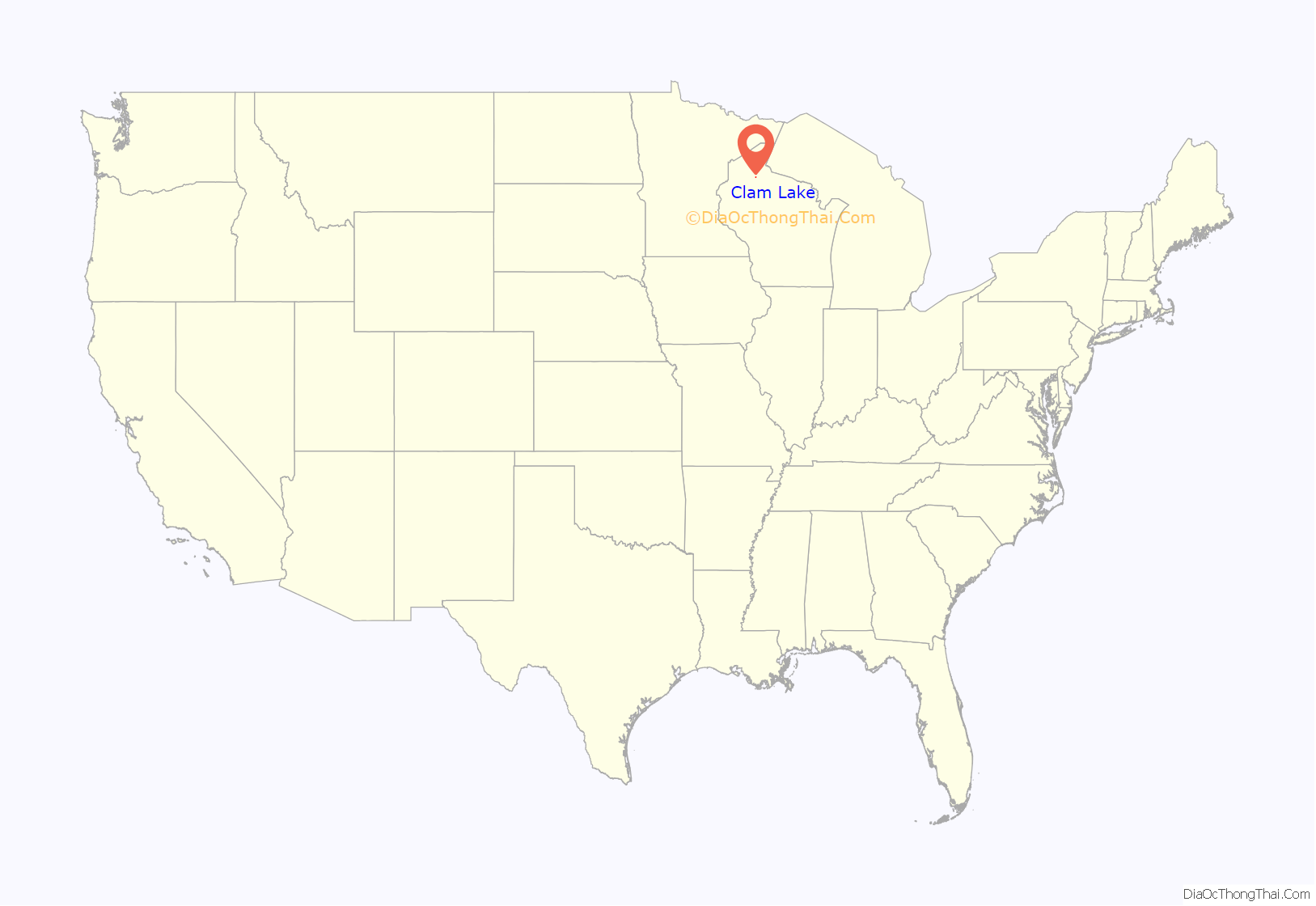
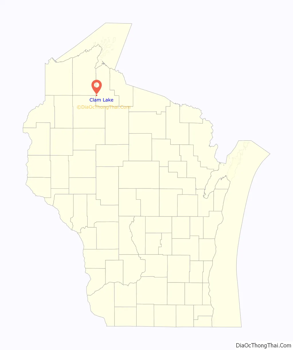
Clam Lake location map. Where is Clam Lake CDP?
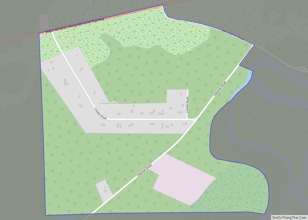
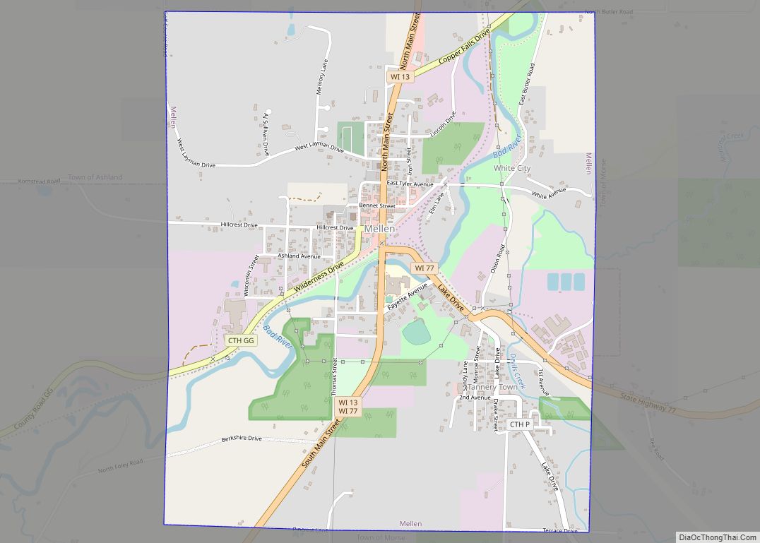
Clam Lake Road Map
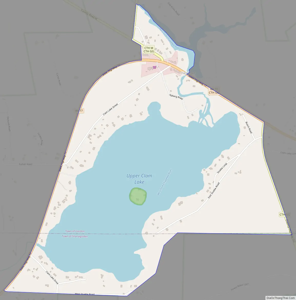
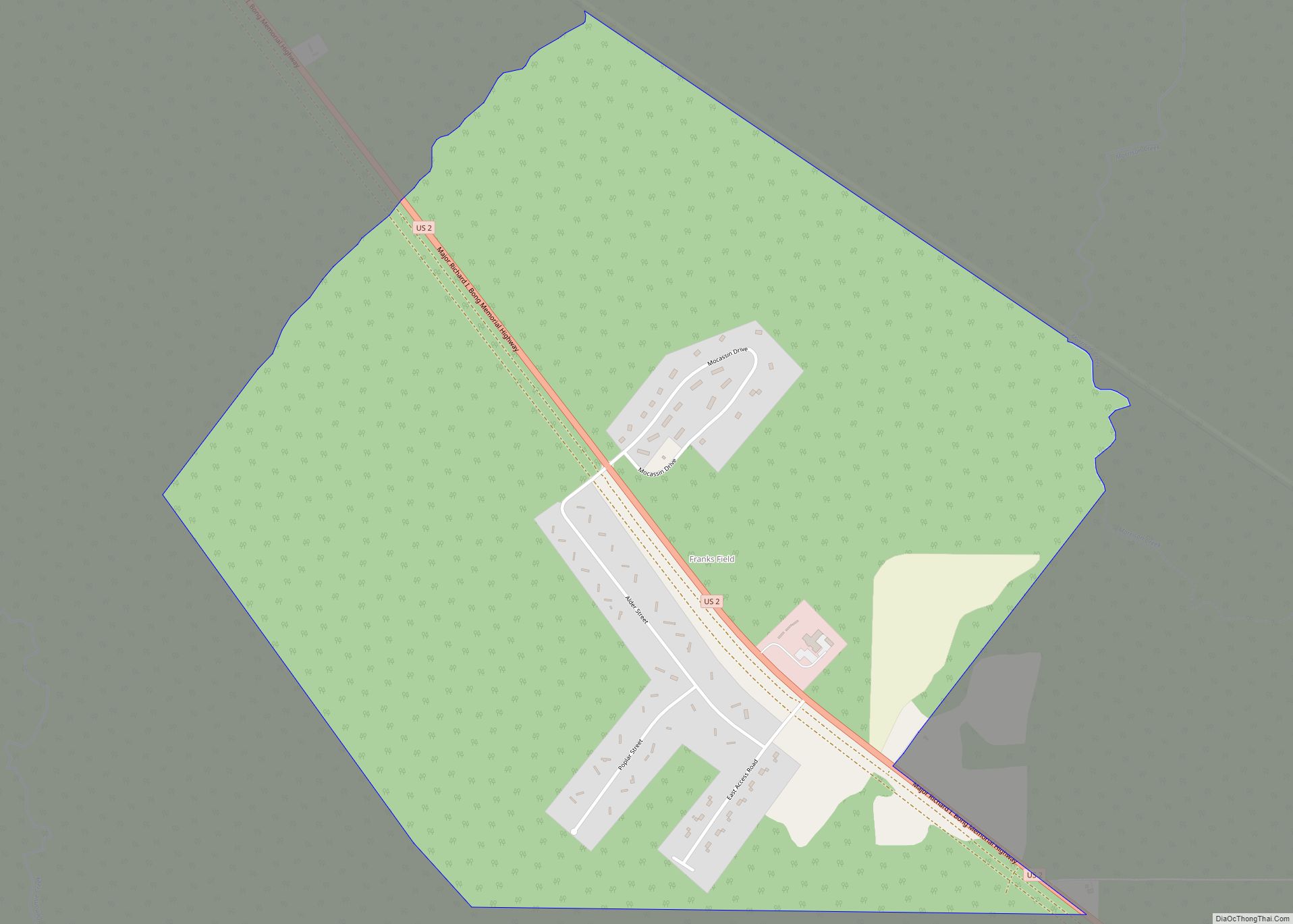
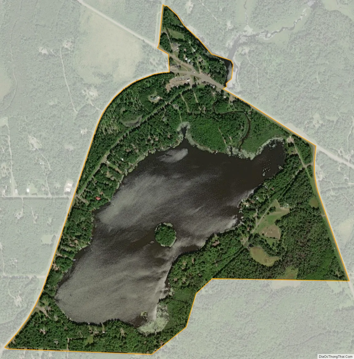
Clam Lake city Satellite Map
Geography
Clam Lake is located at 46°8′6″N 90°34′43″W / 46.13500°N 90.57861°W / 46.13500; -90.57861 (46.164, -90.902).
See also
Map of Wisconsin State and its subdivision:- Adams
- Ashland
- Barron
- Bayfield
- Brown
- Buffalo
- Burnett
- Calumet
- Chippewa
- Clark
- Columbia
- Crawford
- Dane
- Dodge
- Door
- Douglas
- Dunn
- Eau Claire
- Florence
- Fond du Lac
- Forest
- Grant
- Green
- Green Lake
- Iowa
- Iron
- Jackson
- Jefferson
- Juneau
- Kenosha
- Kewaunee
- La Crosse
- Lafayette
- Lake Michigan
- Lake Superior
- Langlade
- Lincoln
- Manitowoc
- Marathon
- Marinette
- Marquette
- Menominee
- Milwaukee
- Monroe
- Oconto
- Oneida
- Outagamie
- Ozaukee
- Pepin
- Pierce
- Polk
- Portage
- Price
- Racine
- Richland
- Rock
- Rusk
- Saint Croix
- Sauk
- Sawyer
- Shawano
- Sheboygan
- Taylor
- Trempealeau
- Vernon
- Vilas
- Walworth
- Washburn
- Washington
- Waukesha
- Waupaca
- Waushara
- Winnebago
- Wood
- Alabama
- Alaska
- Arizona
- Arkansas
- California
- Colorado
- Connecticut
- Delaware
- District of Columbia
- Florida
- Georgia
- Hawaii
- Idaho
- Illinois
- Indiana
- Iowa
- Kansas
- Kentucky
- Louisiana
- Maine
- Maryland
- Massachusetts
- Michigan
- Minnesota
- Mississippi
- Missouri
- Montana
- Nebraska
- Nevada
- New Hampshire
- New Jersey
- New Mexico
- New York
- North Carolina
- North Dakota
- Ohio
- Oklahoma
- Oregon
- Pennsylvania
- Rhode Island
- South Carolina
- South Dakota
- Tennessee
- Texas
- Utah
- Vermont
- Virginia
- Washington
- West Virginia
- Wisconsin
- Wyoming