Edgerton is a city in Rock County and partly in Dane County in the U.S. state of Wisconsin. The population was 5,945 at the 2020 census. Of this, 5,799 were in Rock County, and 146 were in Dane County. Known locally as “Tobacco City U.S.A.,” because of the importance of tobacco growing in the region, Edgerton continues to be a center for the declining tobacco industry in the area.
| Name: | Edgerton city |
|---|---|
| LSAD Code: | 25 |
| LSAD Description: | city (suffix) |
| State: | Wisconsin |
| County: | Dane County, Rock County |
| Elevation: | 817 ft (312 m) |
| Total Area: | 4.16 sq mi (10.78 km²) |
| Land Area: | 4.16 sq mi (10.77 km²) |
| Water Area: | 0.00 sq mi (0.01 km²) |
| Total Population: | 5,945 |
| Population Density: | 1,429.4/sq mi (551.9/km²) |
| Area code: | 608 |
| FIPS code: | 5522575 |
| GNISfeature ID: | 1564443 |
| Website: | www.cityofedgerton.com |
Online Interactive Map
Click on ![]() to view map in "full screen" mode.
to view map in "full screen" mode.
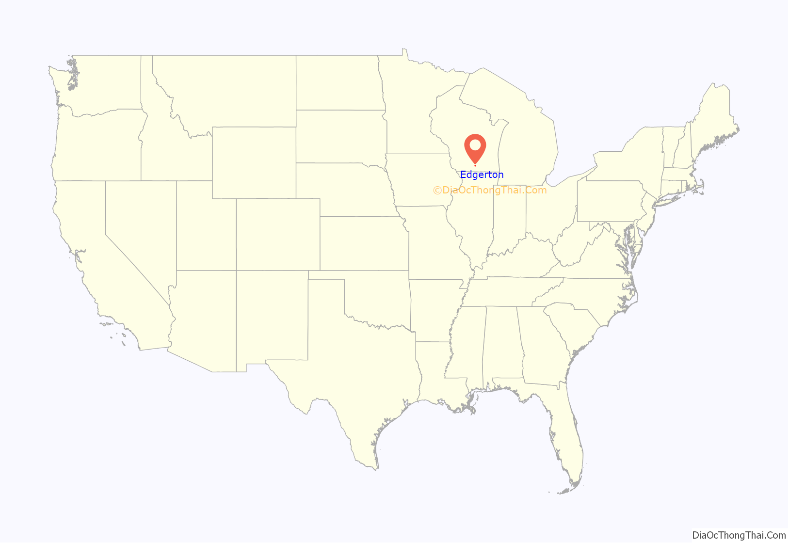
Edgerton location map. Where is Edgerton city?
History
Originally called Fulton Station, Edgerton was named after a 19th-century businessman, Elisha W. Edgerton, or his brother Benjamin Hyde Edgerton, a civil engineer.
In the late 19th and early 20th centuries, Edgerton was the center of the tobacco industry in southern Wisconsin. At one time, there were as many as 52 tobacco warehouses dotting the streets of the city. Queen Anne style mansions along Edgerton’s Washington Street testify to the wealth and prominence some merchants once had. The 1890s Carlton Hotel, once located on Henry Street, also once served as an additional reminder of the tobacco industry’s influence. Although built by a brewing firm, the hotel (which burned to the ground in the 1990s) was frequented by tobacco buyers and sellers.
Edgerton Bible Case
In 1886, Catholic parents in Edgerton protested the reading of the King James Bible in the village schools because they considered the Douay version the correct translation. The school board argued that Catholic children could ignore the Bible readings or sit in the cloakroom while the rest of the children listened to the reading of a Protestant version of the Bible. Because the school board refused to change its policy, several families brought suit on the grounds that the schools’ practice conflicted with the Wisconsin Constitution, which forbade sectarian instruction in the public schools.
The circuit court rejected their argument, deciding in 1888 that the readings were not sectarian because both translations were of the same work. The parents appealed their case to the Wisconsin Supreme Court, which on March 18, 1890, overruled the circuit court, concluding that reading the Bible did, in fact, constitute sectarian instruction, and thus illegally united the functions of church and state.
Seventy years later, when the U.S. Supreme Court banned prayer from the public schools in 1963, the Edgerton Bible Case was one of the precedents cited by Justice William Brennan.
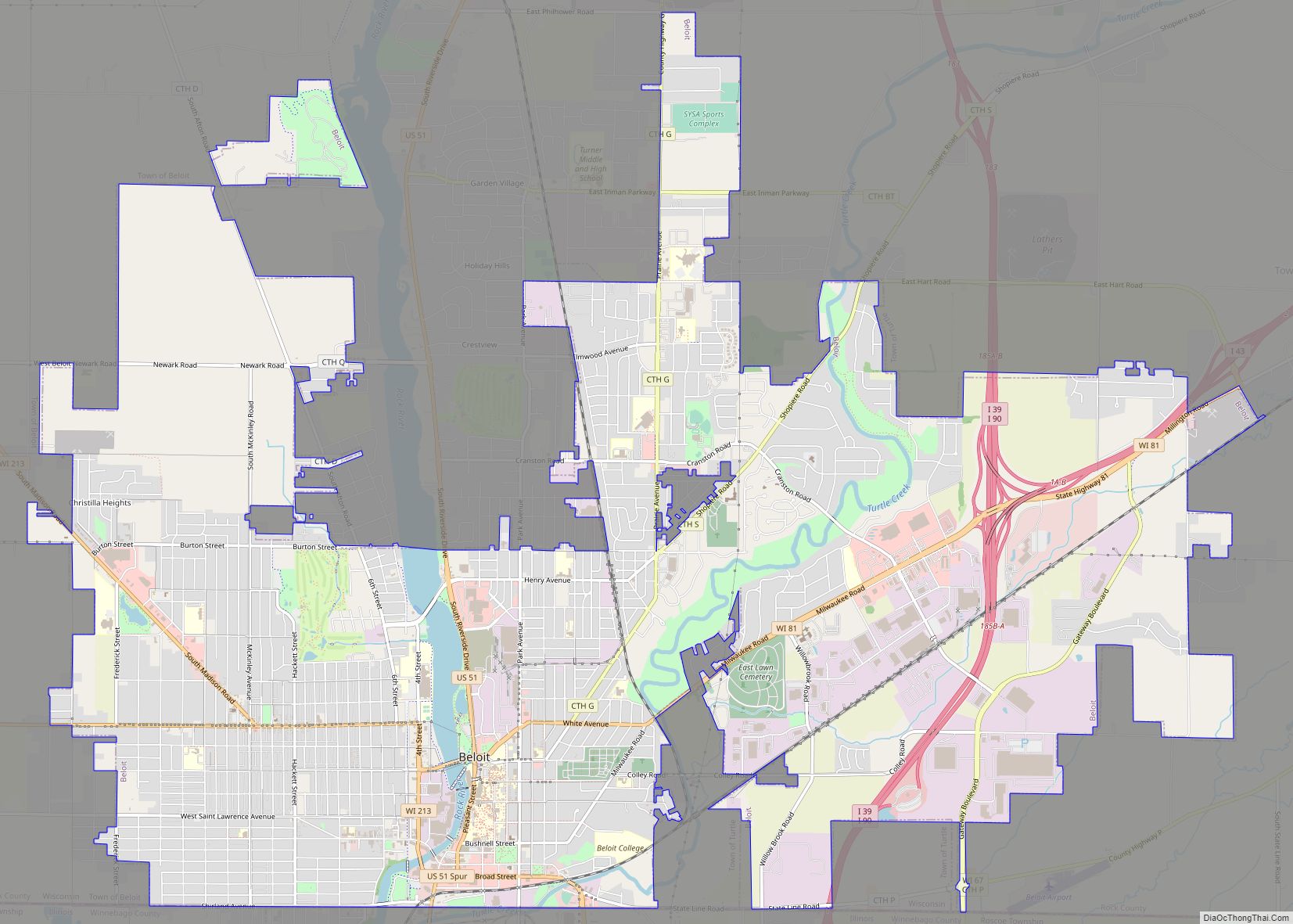
Edgerton Road Map
Edgerton city Satellite Map
Geography
Edgerton is located at 42°50′10″N 89°4′23″W / 42.83611°N 89.07306°W / 42.83611; -89.07306 (42.836108, -89.072919). According to the United States Census Bureau, the city has a total area of 4.14 square miles (10.72 km), all of it land. None of the area is covered with water, except for Saunders Creek, although the city is within a five-minute drive of Lake Koshkonong. Lake Koshkonong is the third largest lake in Wisconsin, and though very shallow, provides a place for water sports. Skiing, tubing, and fishing are common activities on the lake or the Rock River, which feeds it. The Rock River runs all the way to the Mississippi.
See also
Map of Wisconsin State and its subdivision:- Adams
- Ashland
- Barron
- Bayfield
- Brown
- Buffalo
- Burnett
- Calumet
- Chippewa
- Clark
- Columbia
- Crawford
- Dane
- Dodge
- Door
- Douglas
- Dunn
- Eau Claire
- Florence
- Fond du Lac
- Forest
- Grant
- Green
- Green Lake
- Iowa
- Iron
- Jackson
- Jefferson
- Juneau
- Kenosha
- Kewaunee
- La Crosse
- Lafayette
- Lake Michigan
- Lake Superior
- Langlade
- Lincoln
- Manitowoc
- Marathon
- Marinette
- Marquette
- Menominee
- Milwaukee
- Monroe
- Oconto
- Oneida
- Outagamie
- Ozaukee
- Pepin
- Pierce
- Polk
- Portage
- Price
- Racine
- Richland
- Rock
- Rusk
- Saint Croix
- Sauk
- Sawyer
- Shawano
- Sheboygan
- Taylor
- Trempealeau
- Vernon
- Vilas
- Walworth
- Washburn
- Washington
- Waukesha
- Waupaca
- Waushara
- Winnebago
- Wood
- Alabama
- Alaska
- Arizona
- Arkansas
- California
- Colorado
- Connecticut
- Delaware
- District of Columbia
- Florida
- Georgia
- Hawaii
- Idaho
- Illinois
- Indiana
- Iowa
- Kansas
- Kentucky
- Louisiana
- Maine
- Maryland
- Massachusetts
- Michigan
- Minnesota
- Mississippi
- Missouri
- Montana
- Nebraska
- Nevada
- New Hampshire
- New Jersey
- New Mexico
- New York
- North Carolina
- North Dakota
- Ohio
- Oklahoma
- Oregon
- Pennsylvania
- Rhode Island
- South Carolina
- South Dakota
- Tennessee
- Texas
- Utah
- Vermont
- Virginia
- Washington
- West Virginia
- Wisconsin
- Wyoming
