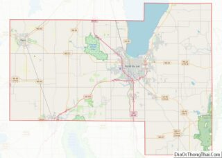
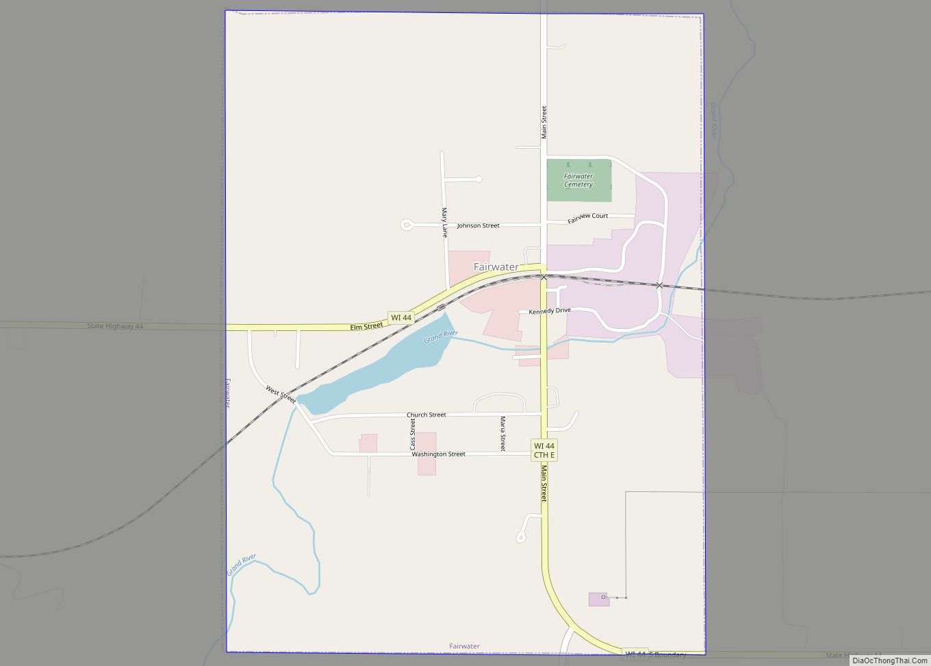
Fairwater is a village in Fond du Lac County, Wisconsin, United States. The population was 371 at the 2010 census. The town of Metomen surrounds the village.
| Name: | Fairwater village |
|---|---|
| LSAD Code: | 47 |
| LSAD Description: | village (suffix) |
| State: | Wisconsin |
| County: | Fond du Lac County |
| Elevation: | 948 ft (289 m) |
| Total Area: | 0.75 sq mi (1.95 km²) |
| Land Area: | 0.73 sq mi (1.90 km²) |
| Water Area: | 0.02 sq mi (0.05 km²) |
| Total Population: | 371 |
| Population Density: | 485.71/sq mi (187.56/km²) |
| Area code: | 920 |
| FIPS code: | 5525075 |
| GNISfeature ID: | 1564827 |
| Website: | www.villageoffairwater.com |
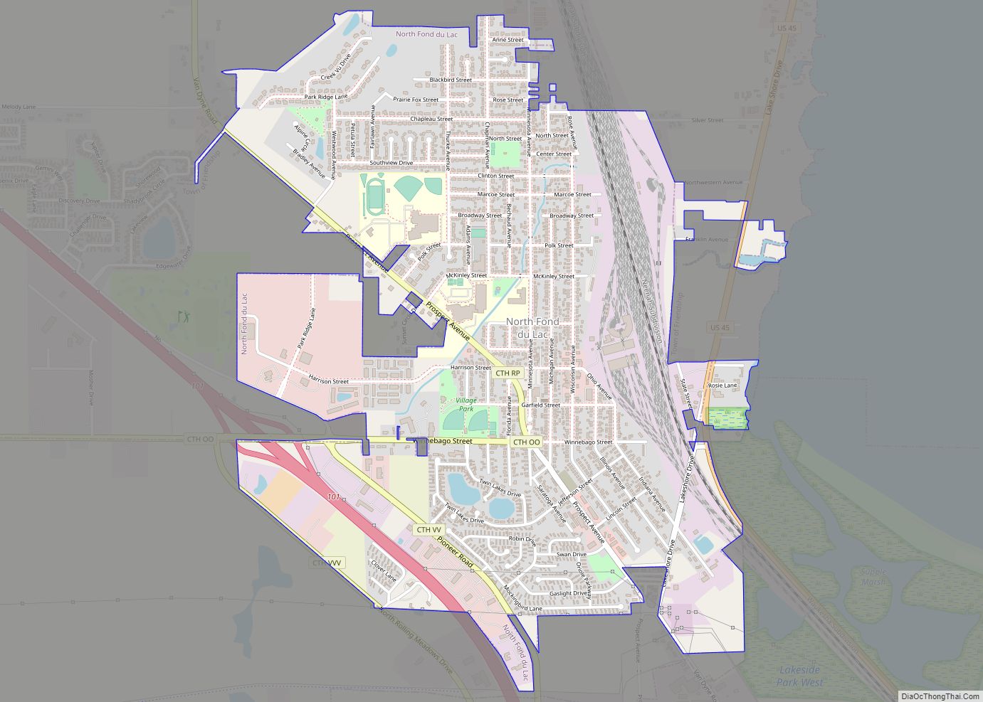
Online Interactive Map
Click on ![]() to view map in "full screen" mode.
to view map in "full screen" mode.
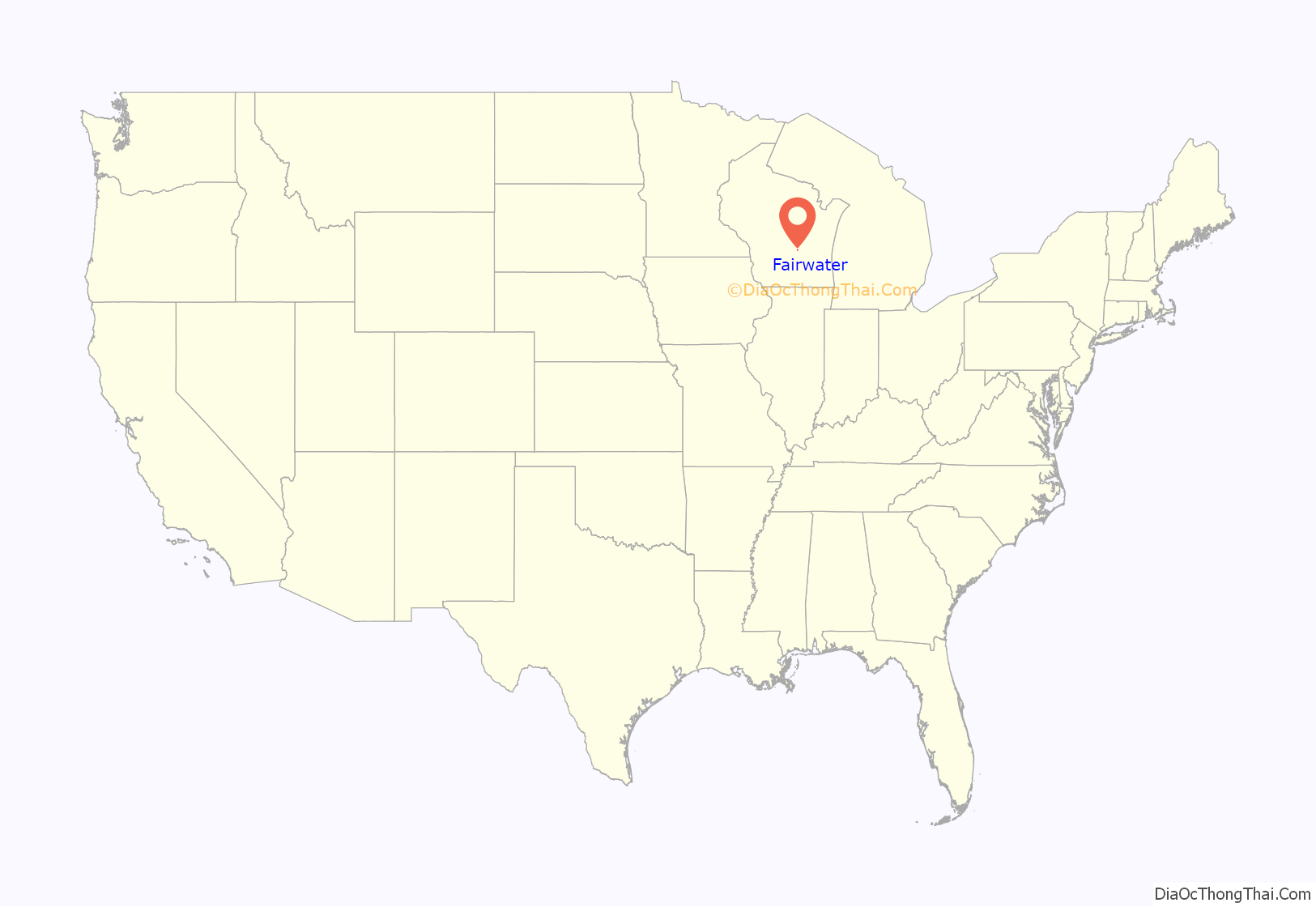
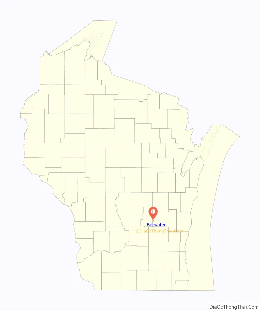
Fairwater location map. Where is Fairwater village?
History
The community was founded around the water power of the Grand River in 1848 and was incorporated in 1921. The town prospered under a booming hemp economy spurred by the need for strong rope during World War I. Hemp brought direct income to Fairwater farmers, factory workers and the owners of the Fairwater Hemp Company. An efficient, eco-friendly production process used unwanted parts of the hemp plant to fuel the factory’s steam power system. The Fairwater Hemp Company closed in 1931.
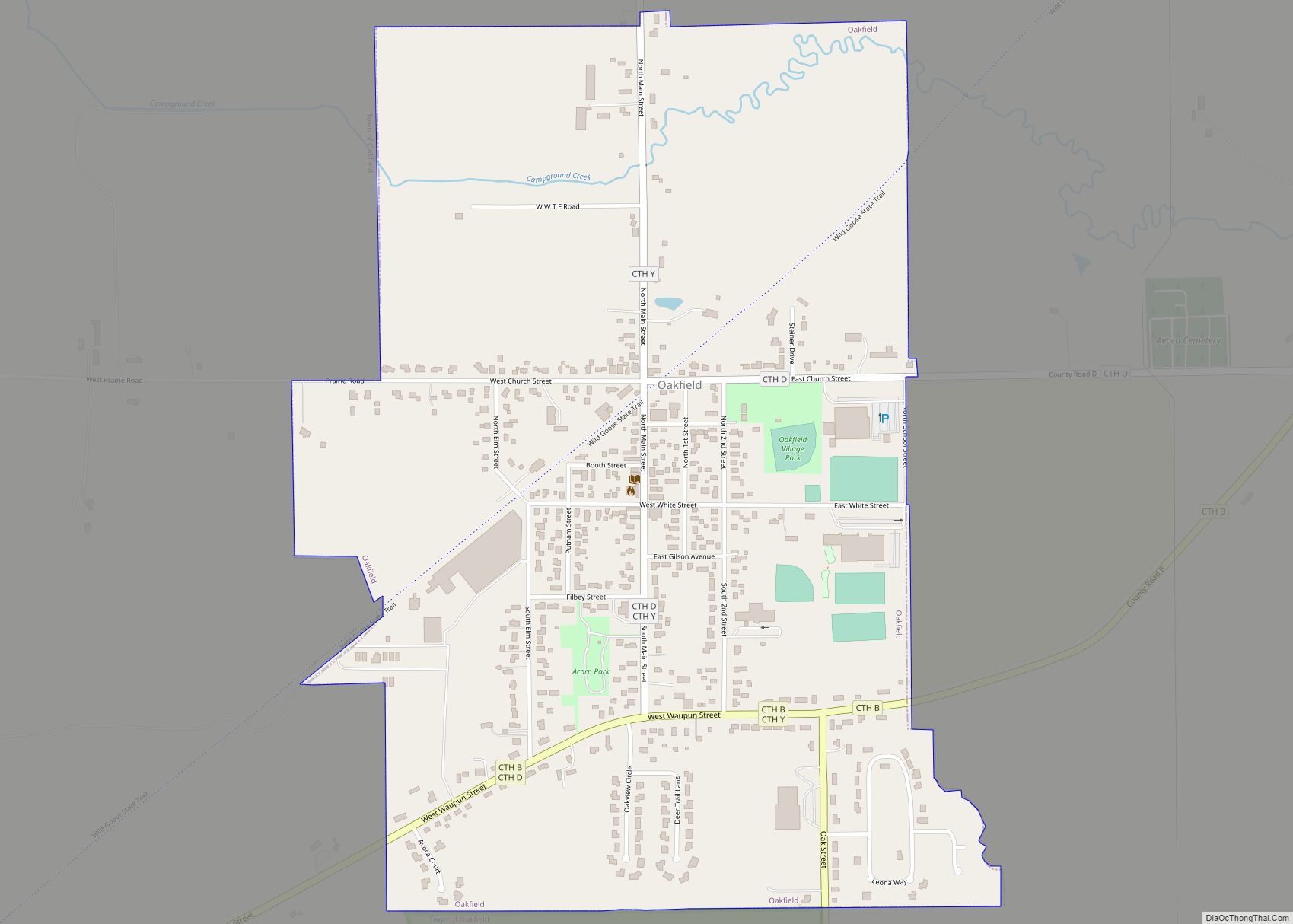
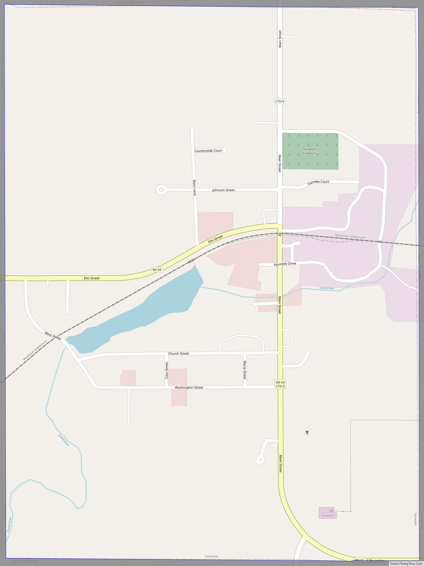
Fairwater Road Map
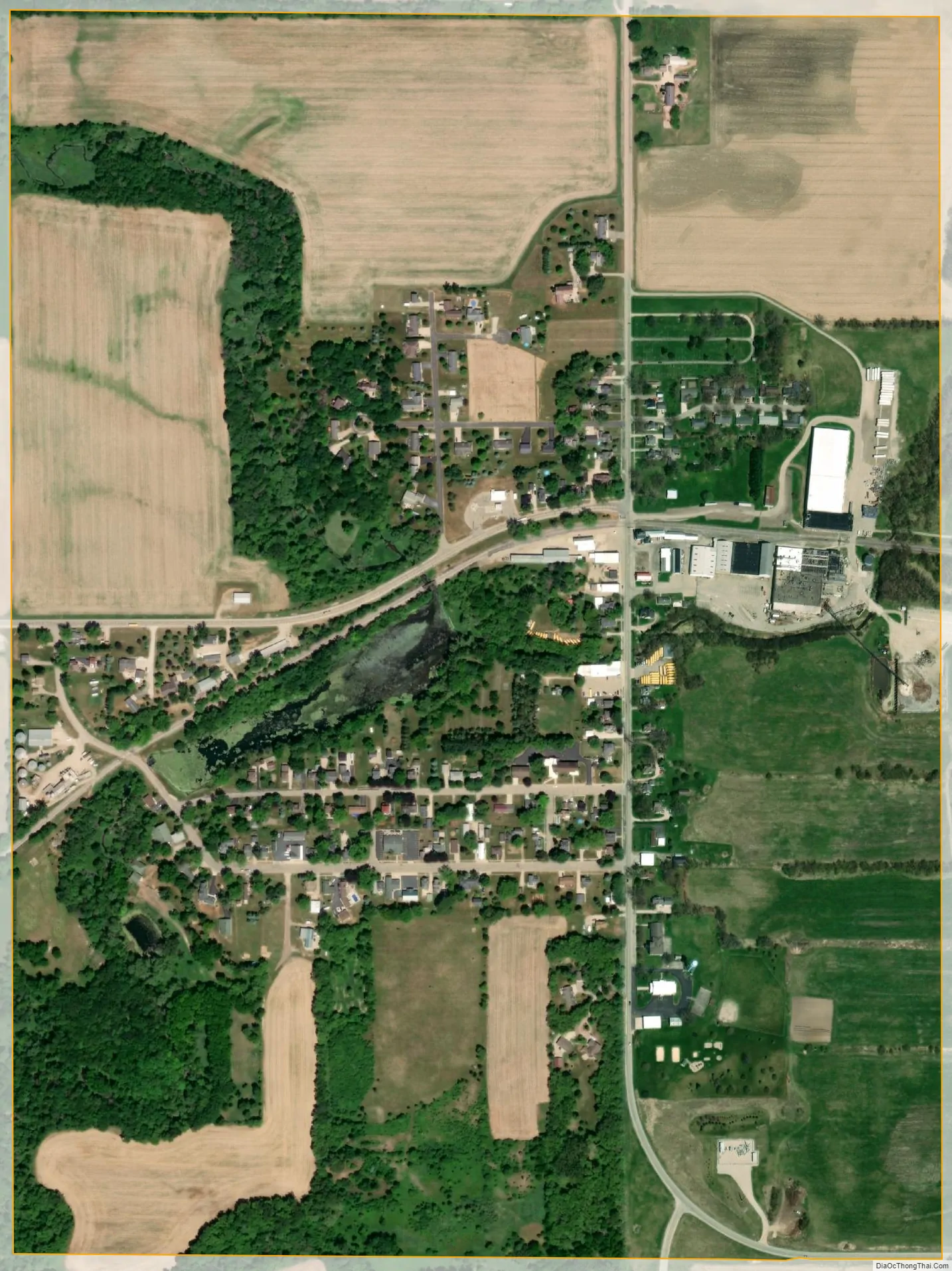
Fairwater city Satellite Map
Geography
Fairwater is located at 43°44′28″N 88°52′8″W / 43.74111°N 88.86889°W / 43.74111; -88.86889 (43.741047, -88.868887).
According to the United States Census Bureau, the village has a total area of 0.76 square miles (1.97 km), of which, 0.74 square miles (1.92 km) of it is land and 0.02 square miles (0.05 km) is water.
See also
Map of Wisconsin State and its subdivision:- Adams
- Ashland
- Barron
- Bayfield
- Brown
- Buffalo
- Burnett
- Calumet
- Chippewa
- Clark
- Columbia
- Crawford
- Dane
- Dodge
- Door
- Douglas
- Dunn
- Eau Claire
- Florence
- Fond du Lac
- Forest
- Grant
- Green
- Green Lake
- Iowa
- Iron
- Jackson
- Jefferson
- Juneau
- Kenosha
- Kewaunee
- La Crosse
- Lafayette
- Lake Michigan
- Lake Superior
- Langlade
- Lincoln
- Manitowoc
- Marathon
- Marinette
- Marquette
- Menominee
- Milwaukee
- Monroe
- Oconto
- Oneida
- Outagamie
- Ozaukee
- Pepin
- Pierce
- Polk
- Portage
- Price
- Racine
- Richland
- Rock
- Rusk
- Saint Croix
- Sauk
- Sawyer
- Shawano
- Sheboygan
- Taylor
- Trempealeau
- Vernon
- Vilas
- Walworth
- Washburn
- Washington
- Waukesha
- Waupaca
- Waushara
- Winnebago
- Wood
- Alabama
- Alaska
- Arizona
- Arkansas
- California
- Colorado
- Connecticut
- Delaware
- District of Columbia
- Florida
- Georgia
- Hawaii
- Idaho
- Illinois
- Indiana
- Iowa
- Kansas
- Kentucky
- Louisiana
- Maine
- Maryland
- Massachusetts
- Michigan
- Minnesota
- Mississippi
- Missouri
- Montana
- Nebraska
- Nevada
- New Hampshire
- New Jersey
- New Mexico
- New York
- North Carolina
- North Dakota
- Ohio
- Oklahoma
- Oregon
- Pennsylvania
- Rhode Island
- South Carolina
- South Dakota
- Tennessee
- Texas
- Utah
- Vermont
- Virginia
- Washington
- West Virginia
- Wisconsin
- Wyoming