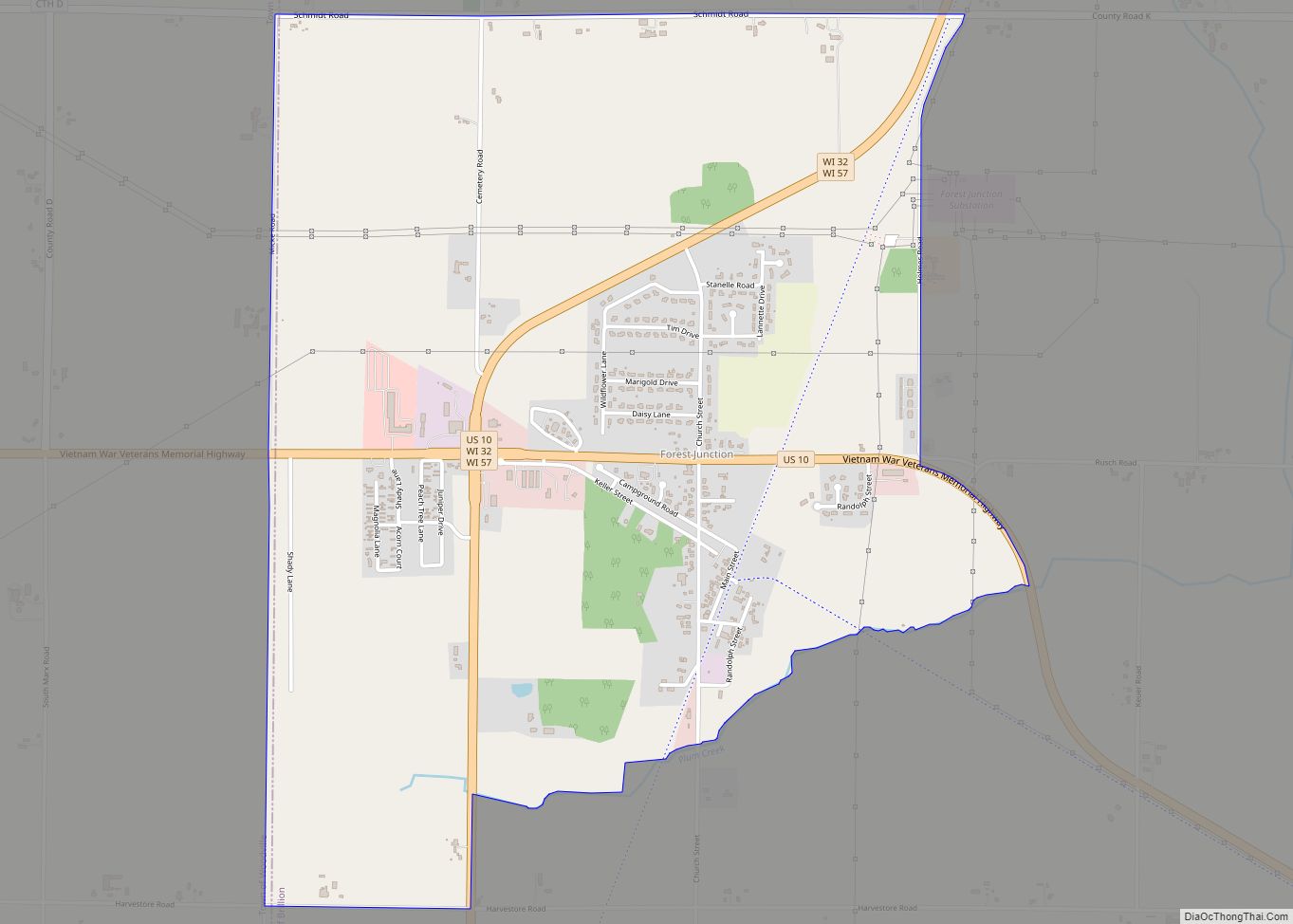
Forest Junction is an unincorporated census-designated place in the town of Brillion, Calumet County, Wisconsin, United States. As of the 2010 census, its population was 616.
The community has its own water tower and utilities. Its ZIP code is 54123.
| Name: | Forest Junction CDP |
|---|---|
| LSAD Code: | 57 |
| LSAD Description: | CDP (suffix) |
| State: | Wisconsin |
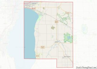
| County: | Calumet County |
| Total Area: | 2.596 sq mi (6.72 km²) |
| Land Area: | 2.594 sq mi (6.72 km²) |
| Water Area: | 0.002 sq mi (0.005 km²) |
| Total Population: | 1,290 |
| Population Density: | 500/sq mi (190/km²) |
| ZIP code: | 54123 |
| Area code: | 920 |
| FIPS code: | 5526575 |
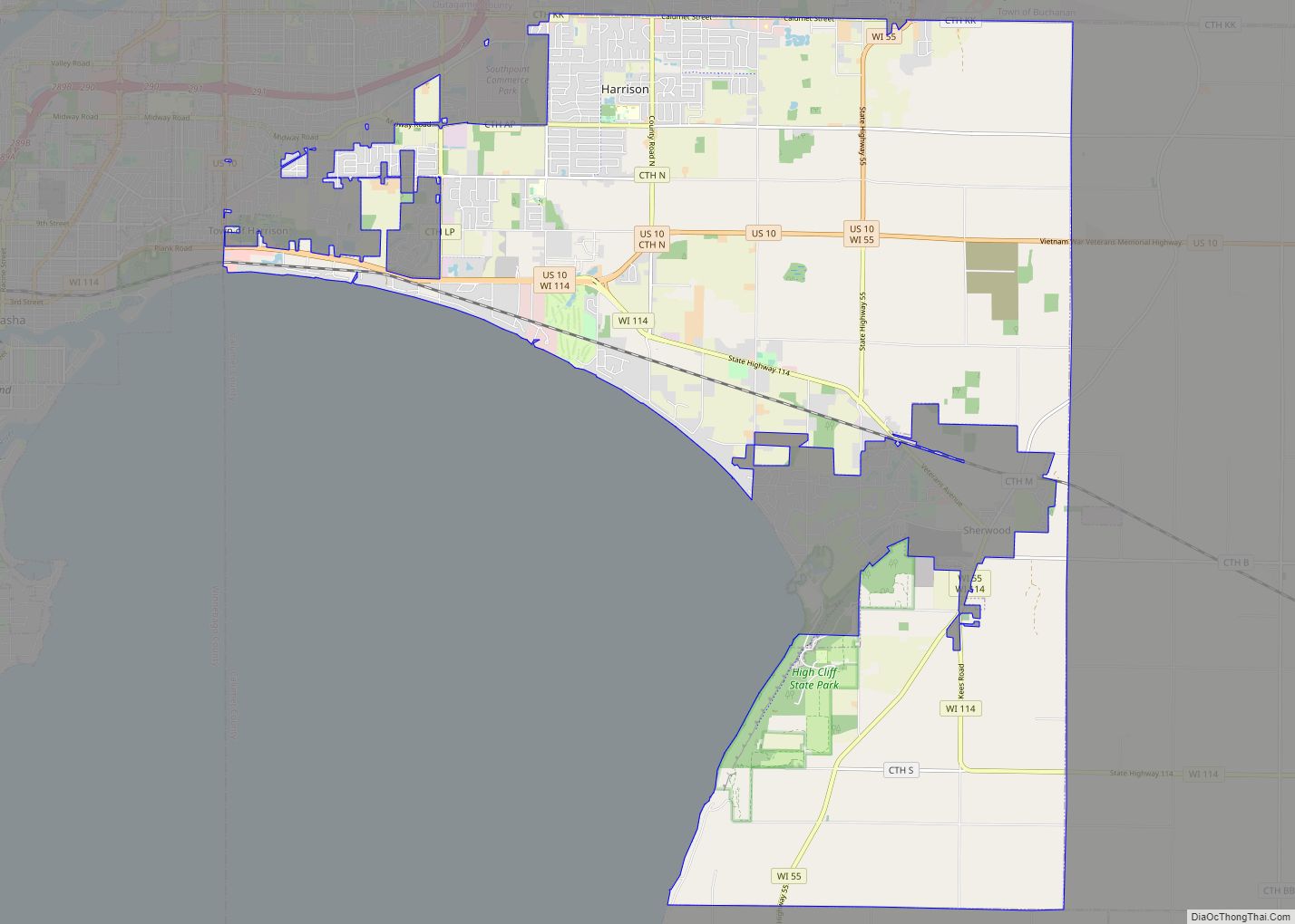
Online Interactive Map
Click on ![]() to view map in "full screen" mode.
to view map in "full screen" mode.
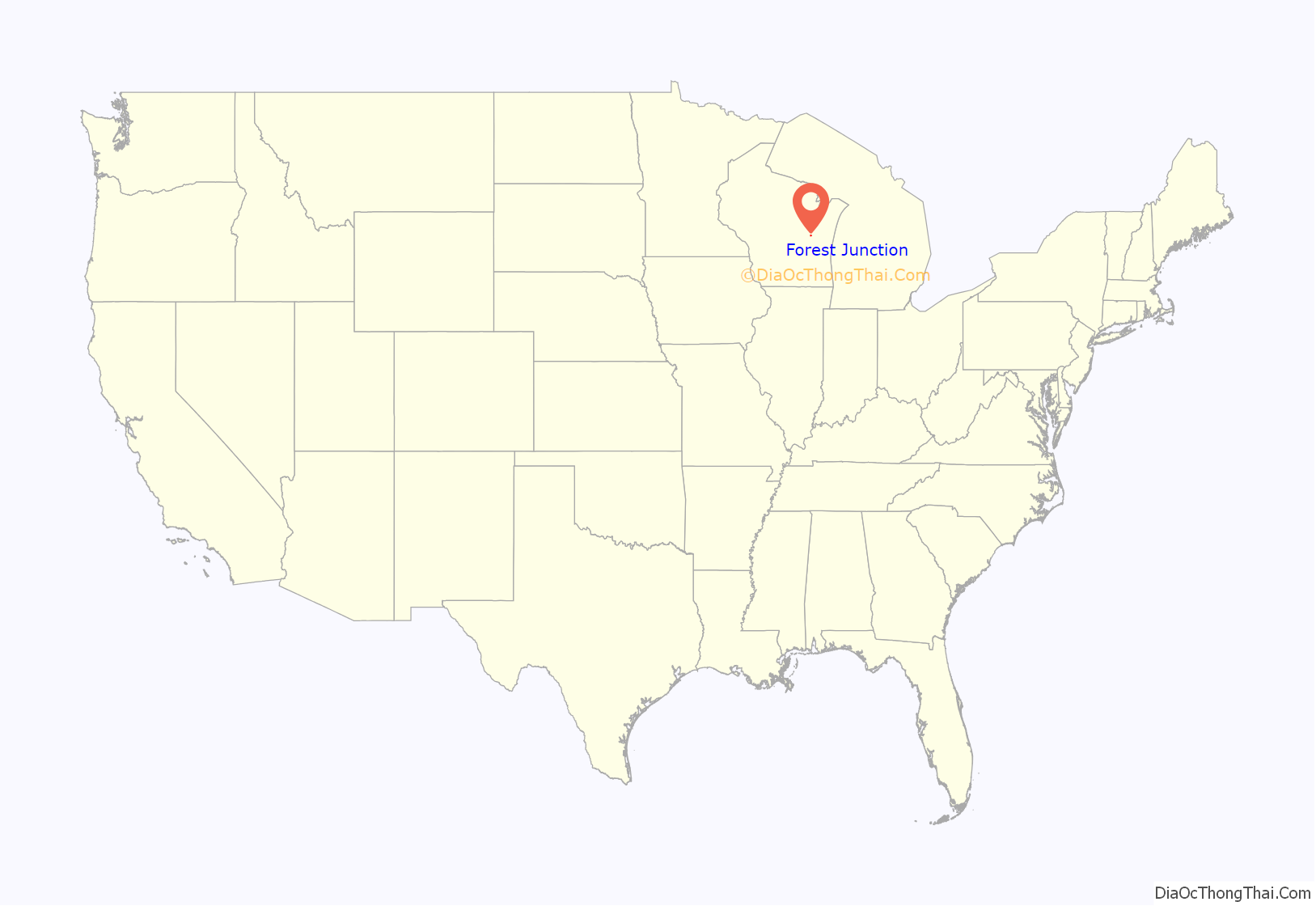
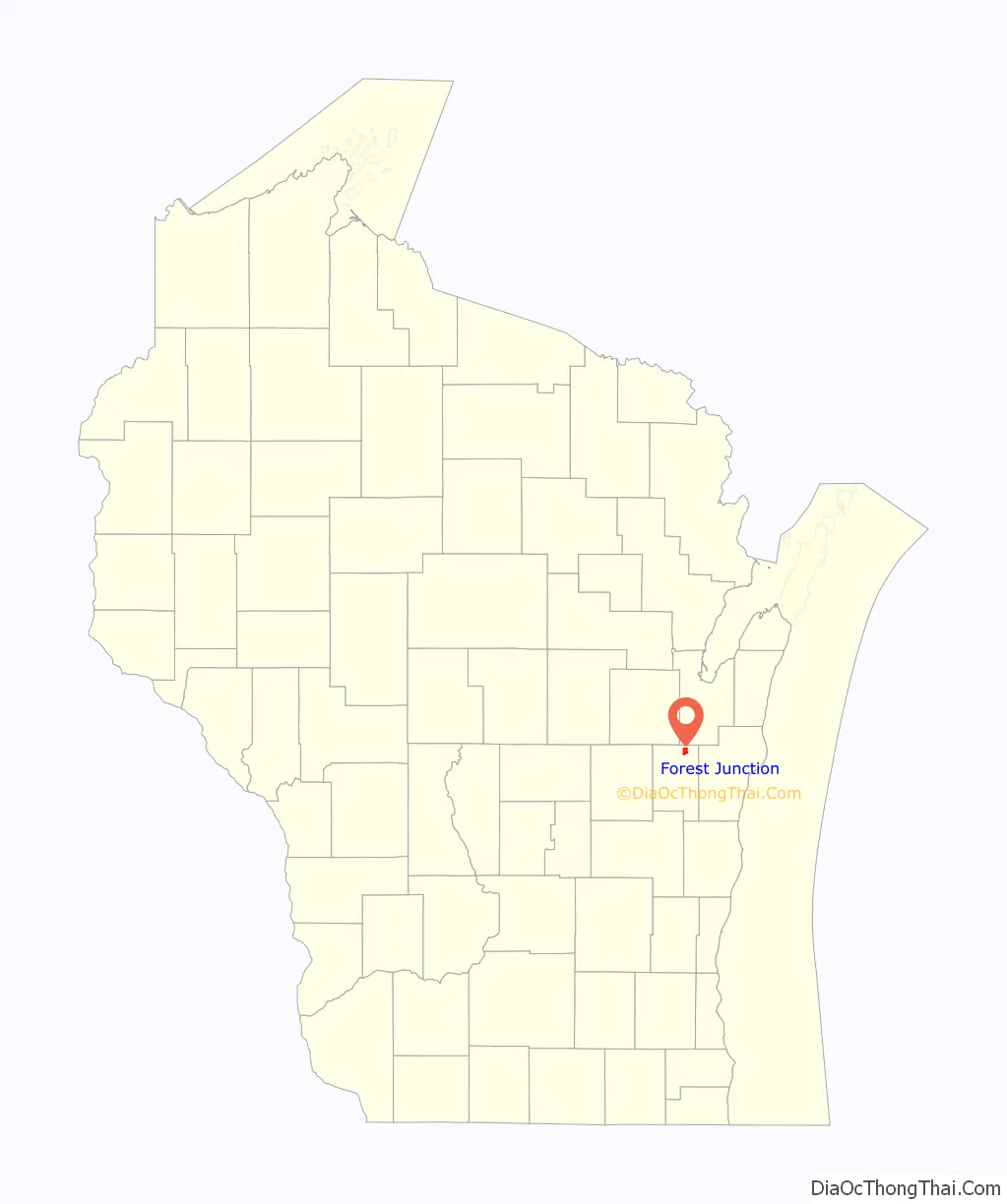
Forest Junction location map. Where is Forest Junction CDP?
History
A post office called Forest Junction has been in operation since 1873. The community was so named from its location at a rail junction near the forest.
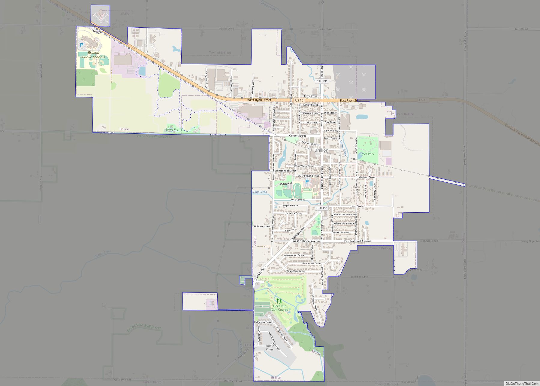
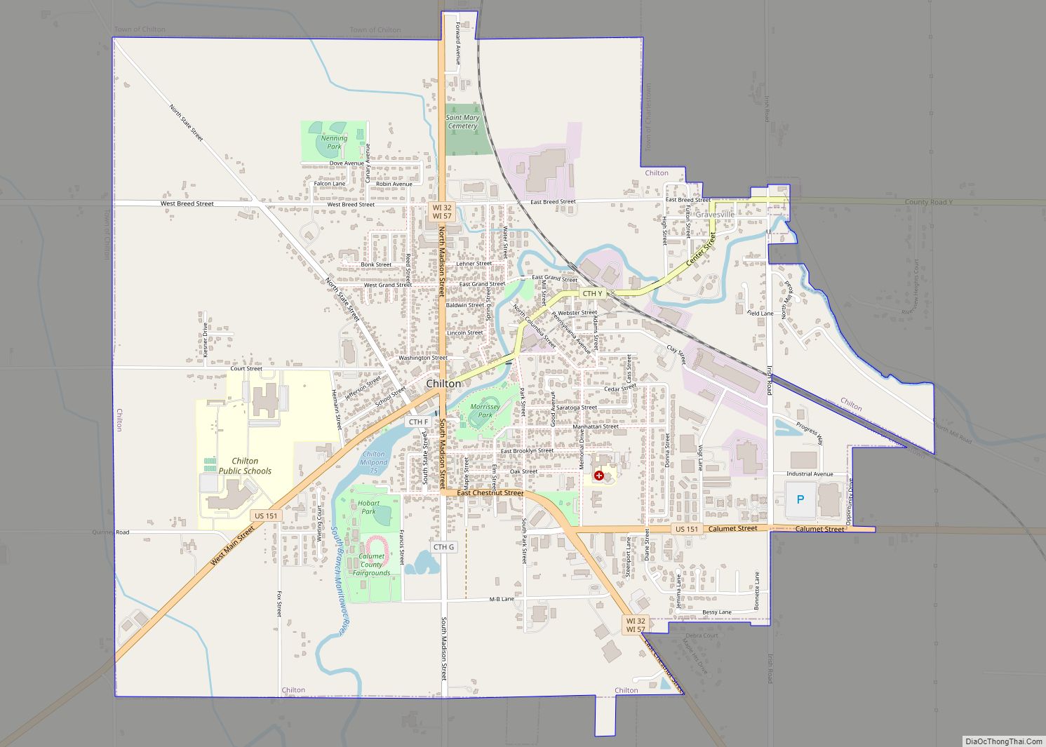
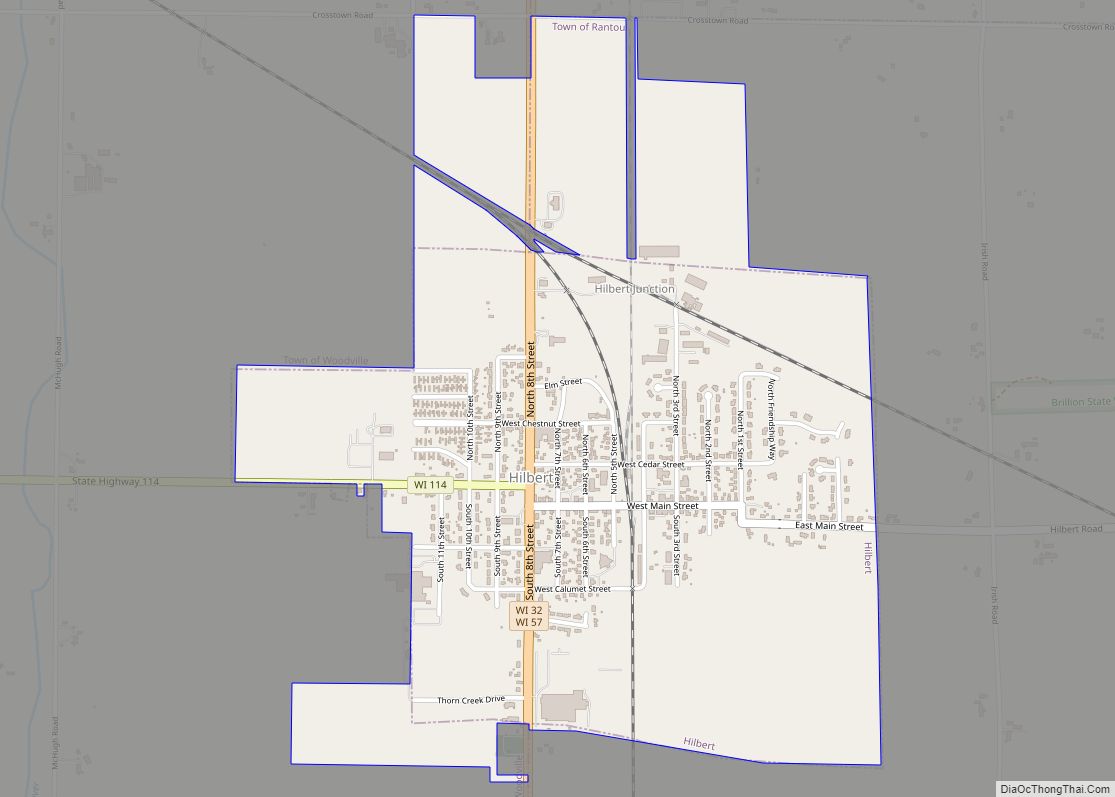
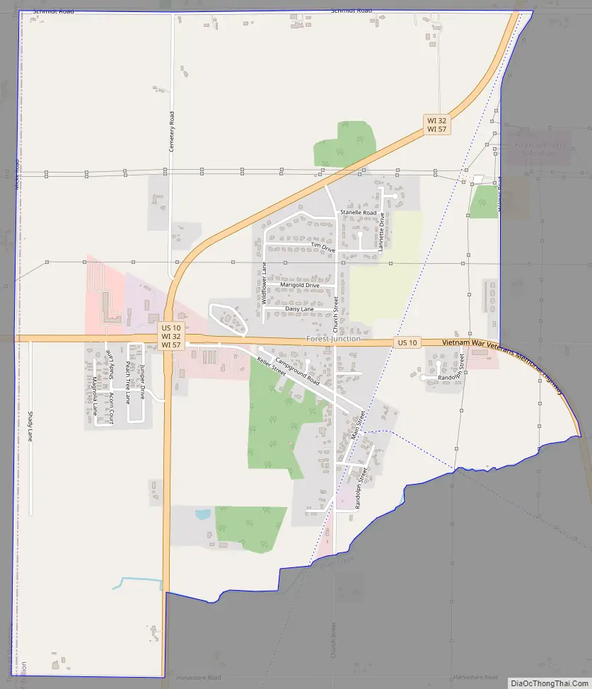
Forest Junction Road Map
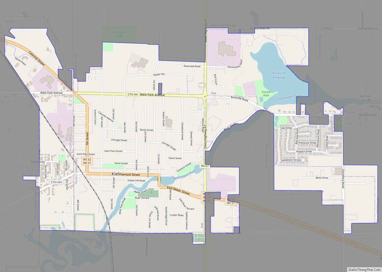
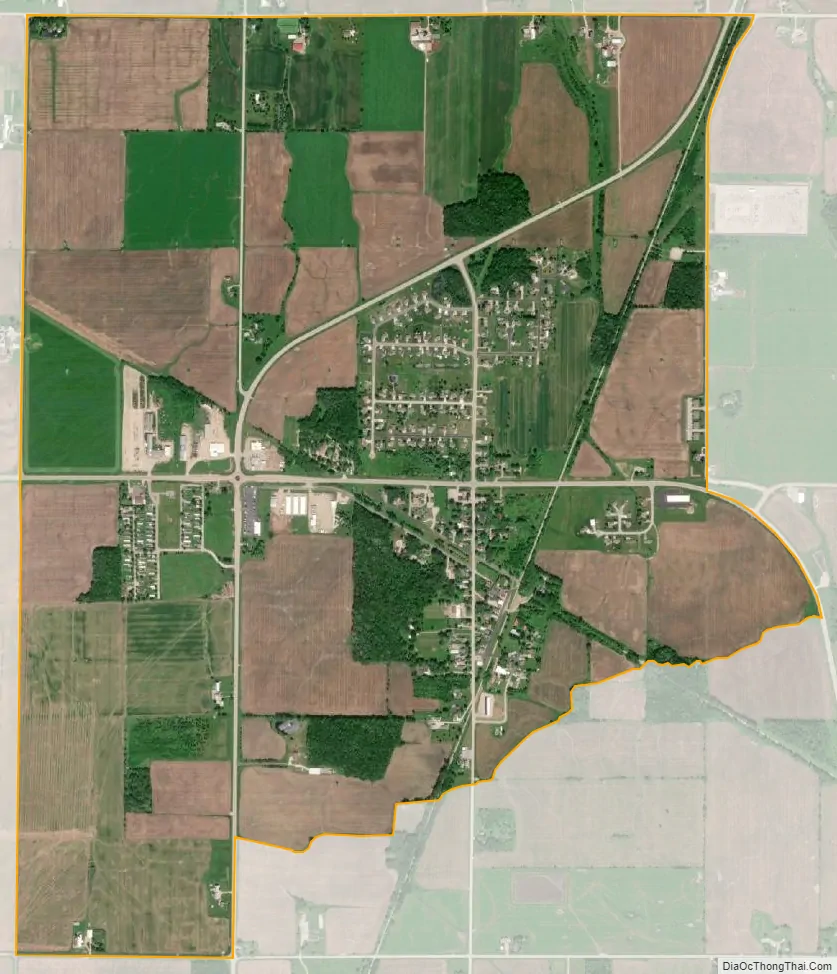
Forest Junction city Satellite Map
Geography
Forest Junction is located at the intersection of Wisconsin Highway 57/Wisconsin Highway 32 and U.S. Route 10. 57/32 runs north-south through the area, and 10 runs east-west.
See also
Map of Wisconsin State and its subdivision:- Adams
- Ashland
- Barron
- Bayfield
- Brown
- Buffalo
- Burnett
- Calumet
- Chippewa
- Clark
- Columbia
- Crawford
- Dane
- Dodge
- Door
- Douglas
- Dunn
- Eau Claire
- Florence
- Fond du Lac
- Forest
- Grant
- Green
- Green Lake
- Iowa
- Iron
- Jackson
- Jefferson
- Juneau
- Kenosha
- Kewaunee
- La Crosse
- Lafayette
- Lake Michigan
- Lake Superior
- Langlade
- Lincoln
- Manitowoc
- Marathon
- Marinette
- Marquette
- Menominee
- Milwaukee
- Monroe
- Oconto
- Oneida
- Outagamie
- Ozaukee
- Pepin
- Pierce
- Polk
- Portage
- Price
- Racine
- Richland
- Rock
- Rusk
- Saint Croix
- Sauk
- Sawyer
- Shawano
- Sheboygan
- Taylor
- Trempealeau
- Vernon
- Vilas
- Walworth
- Washburn
- Washington
- Waukesha
- Waupaca
- Waushara
- Winnebago
- Wood
- Alabama
- Alaska
- Arizona
- Arkansas
- California
- Colorado
- Connecticut
- Delaware
- District of Columbia
- Florida
- Georgia
- Hawaii
- Idaho
- Illinois
- Indiana
- Iowa
- Kansas
- Kentucky
- Louisiana
- Maine
- Maryland
- Massachusetts
- Michigan
- Minnesota
- Mississippi
- Missouri
- Montana
- Nebraska
- Nevada
- New Hampshire
- New Jersey
- New Mexico
- New York
- North Carolina
- North Dakota
- Ohio
- Oklahoma
- Oregon
- Pennsylvania
- Rhode Island
- South Carolina
- South Dakota
- Tennessee
- Texas
- Utah
- Vermont
- Virginia
- Washington
- West Virginia
- Wisconsin
- Wyoming