Fox Lake is a city in Dodge County, Wisconsin, United States. The population was 1,519 at the 2010 census. The city is located within the Town of Fox Lake.
| Name: | Fox Lake city |
|---|---|
| LSAD Code: | 25 |
| LSAD Description: | city (suffix) |
| State: | Wisconsin |
| County: | Dodge County |
| Elevation: | 919 ft (280 m) |
| Total Area: | 1.62 sq mi (4.20 km²) |
| Land Area: | 1.57 sq mi (4.06 km²) |
| Water Area: | 0.05 sq mi (0.14 km²) |
| Total Population: | 1,519 |
| Population Density: | 923.52/sq mi (356.48/km²) |
| Area code: | 920 |
| FIPS code: | 5527000 |
| GNISfeature ID: | 1583225 |
| Website: | cityoffoxlake.org |
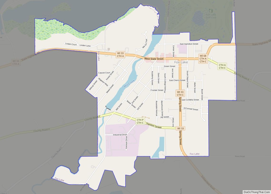
Online Interactive Map
Click on ![]() to view map in "full screen" mode.
to view map in "full screen" mode.
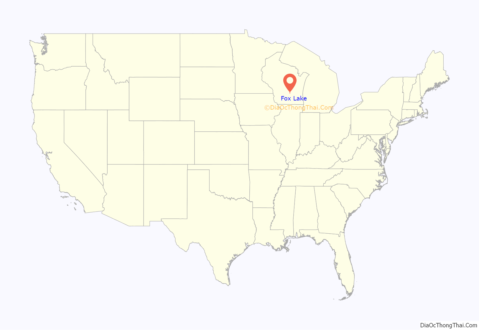
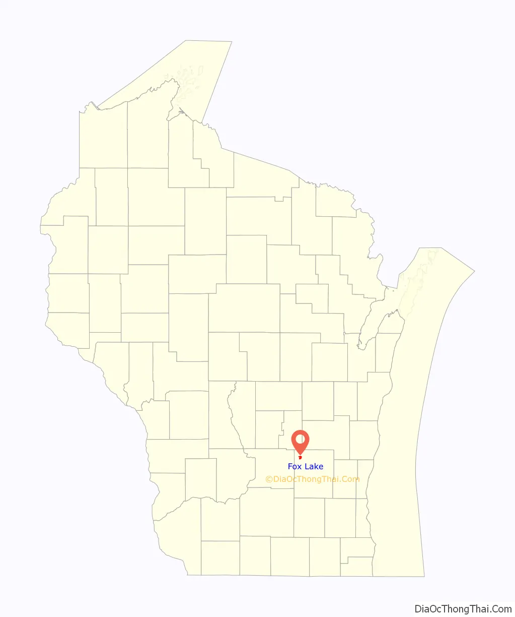
Fox Lake location map. Where is Fox Lake city?
History
Established in 1838, Fox Lake was the first settlement in Dodge County. The first inhabitants were Winnebago Indians who had named the area “Hosh-a-rac-ah-tah”, meaning “good land”. The area was later named Fox Lake, either in honor of a Winnebago Indian named Big Fox who saved a lost trapper or for the English translation of the Indian name of the town.
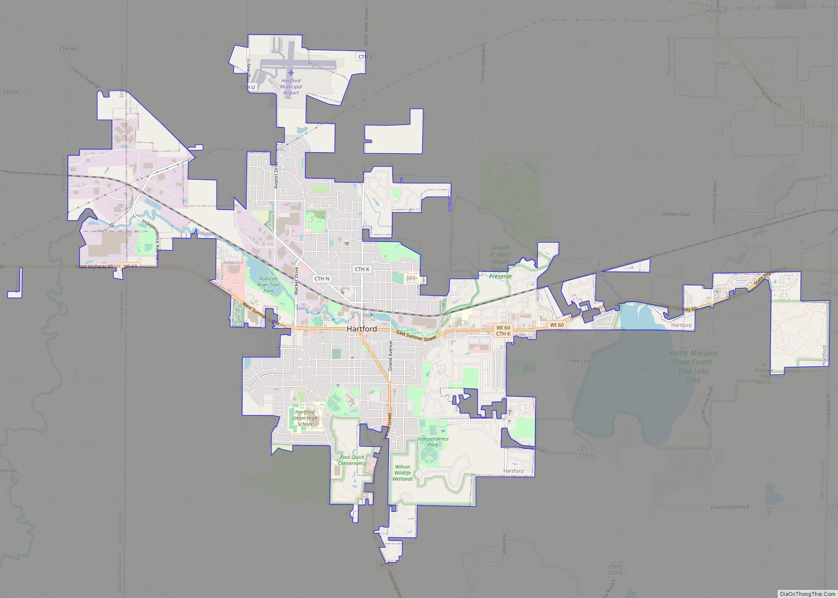
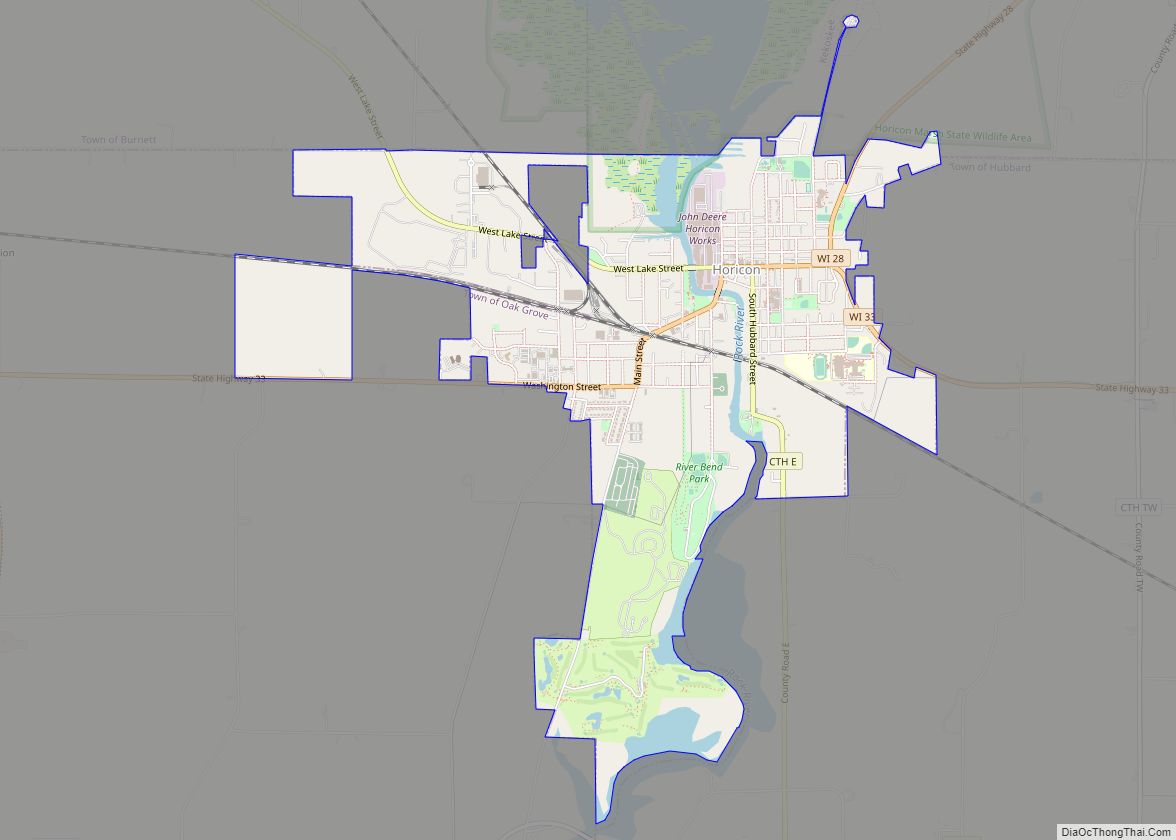
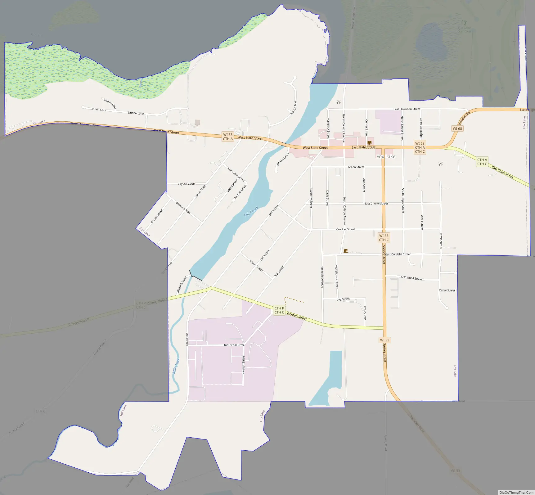
Fox Lake Road Map
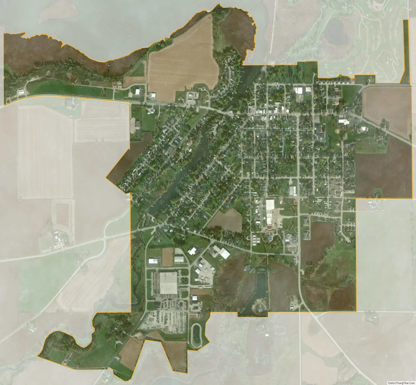
Fox Lake city Satellite Map
Geography
Fox Lake is located at 43°33’45” North, 88°54’35” West (43.56265, -88.90994).
According to the United States Census Bureau, the city has a total area of 1.61 square miles (4.17 km), of which, 1.56 square miles (4.04 km) is land and 0.05 square miles (0.13 km) is water.
The 2,713 acre lake also known as Fox Lake is found north of the city.
See also
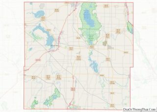
Map of Wisconsin State and its subdivision:- Adams
- Ashland
- Barron
- Bayfield
- Brown
- Buffalo
- Burnett
- Calumet
- Chippewa
- Clark
- Columbia
- Crawford
- Dane
- Dodge
- Door
- Douglas
- Dunn
- Eau Claire
- Florence
- Fond du Lac
- Forest
- Grant
- Green
- Green Lake
- Iowa
- Iron
- Jackson
- Jefferson
- Juneau
- Kenosha
- Kewaunee
- La Crosse
- Lafayette
- Lake Michigan
- Lake Superior
- Langlade
- Lincoln
- Manitowoc
- Marathon
- Marinette
- Marquette
- Menominee
- Milwaukee
- Monroe
- Oconto
- Oneida
- Outagamie
- Ozaukee
- Pepin
- Pierce
- Polk
- Portage
- Price
- Racine
- Richland
- Rock
- Rusk
- Saint Croix
- Sauk
- Sawyer
- Shawano
- Sheboygan
- Taylor
- Trempealeau
- Vernon
- Vilas
- Walworth
- Washburn
- Washington
- Waukesha
- Waupaca
- Waushara
- Winnebago
- Wood
- Alabama
- Alaska
- Arizona
- Arkansas
- California
- Colorado
- Connecticut
- Delaware
- District of Columbia
- Florida
- Georgia
- Hawaii
- Idaho
- Illinois
- Indiana
- Iowa
- Kansas
- Kentucky
- Louisiana
- Maine
- Maryland
- Massachusetts
- Michigan
- Minnesota
- Mississippi
- Missouri
- Montana
- Nebraska
- Nevada
- New Hampshire
- New Jersey
- New Mexico
- New York
- North Carolina
- North Dakota
- Ohio
- Oklahoma
- Oregon
- Pennsylvania
- Rhode Island
- South Carolina
- South Dakota
- Tennessee
- Texas
- Utah
- Vermont
- Virginia
- Washington
- West Virginia
- Wisconsin
- Wyoming