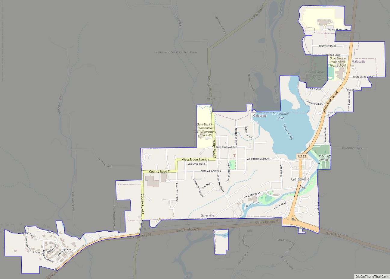
Galesville is a city in Trempealeau County, Wisconsin, United States. The population was 1,662 at the 2020 census. It is located where Beaver Creek flows into a wide area of the Mississippi River valley. The creek is impounded to form Lake Marinuka. The mayor is Vince Howe.
| Name: | Galesville city |
|---|---|
| LSAD Code: | 25 |
| LSAD Description: | city (suffix) |
| State: | Wisconsin |
| County: | Trempealeau County |
| Incorporated: | January 26, 1942 (1942-01-26) |
| Elevation: | 728 ft (222 m) |
| Total Area: | 1.45 sq mi (3.76 km²) |
| Land Area: | 1.30 sq mi (3.37 km²) |
| Water Area: | 0.15 sq mi (0.39 km²) |
| Total Population: | 1,662 |
| Population Density: | 1,276.5/sq mi (492.7/km²) |
| Area code: | 608 |
| FIPS code: | 5528200 |
| GNISfeature ID: | 1565380 |
| Website: | cityofgalesville.com |
Online Interactive Map
Click on ![]() to view map in "full screen" mode.
to view map in "full screen" mode.
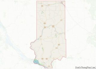
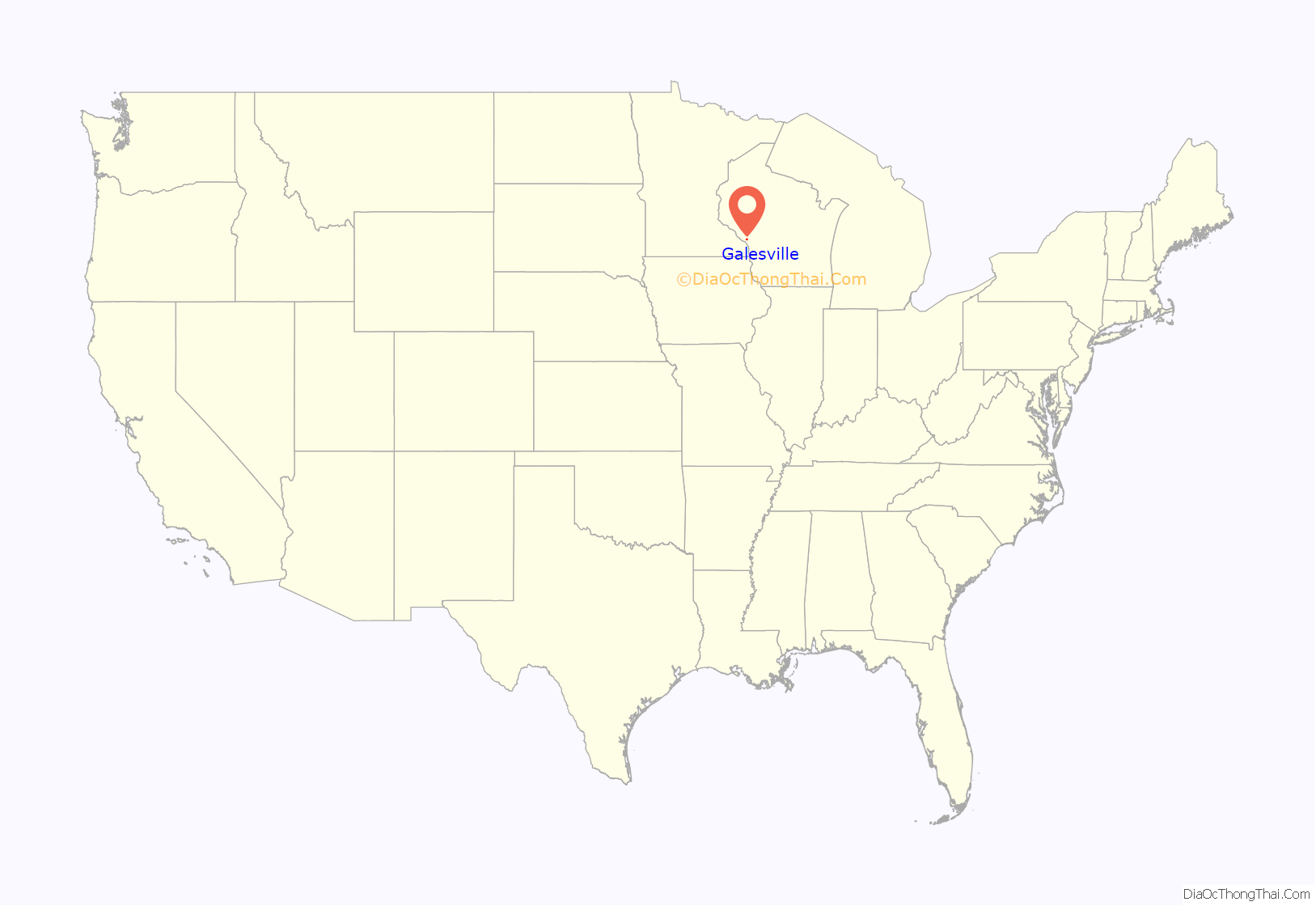
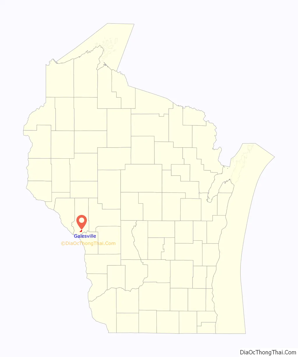
Galesville location map. Where is Galesville city?
History
Galesville is named for its founder, Judge George Gale, a native of Vermont. It was platted by Gale in 1854. It was formally incorporated as a village in 1887, and then as a city in 1942.
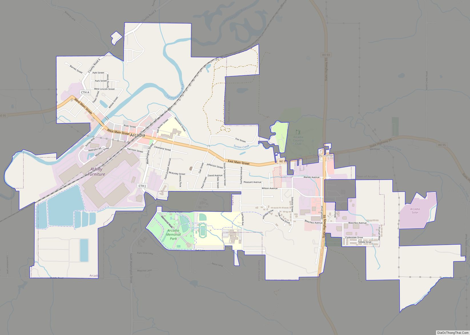
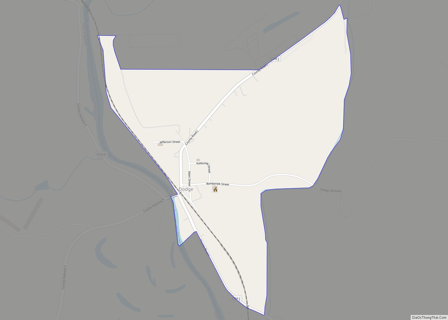
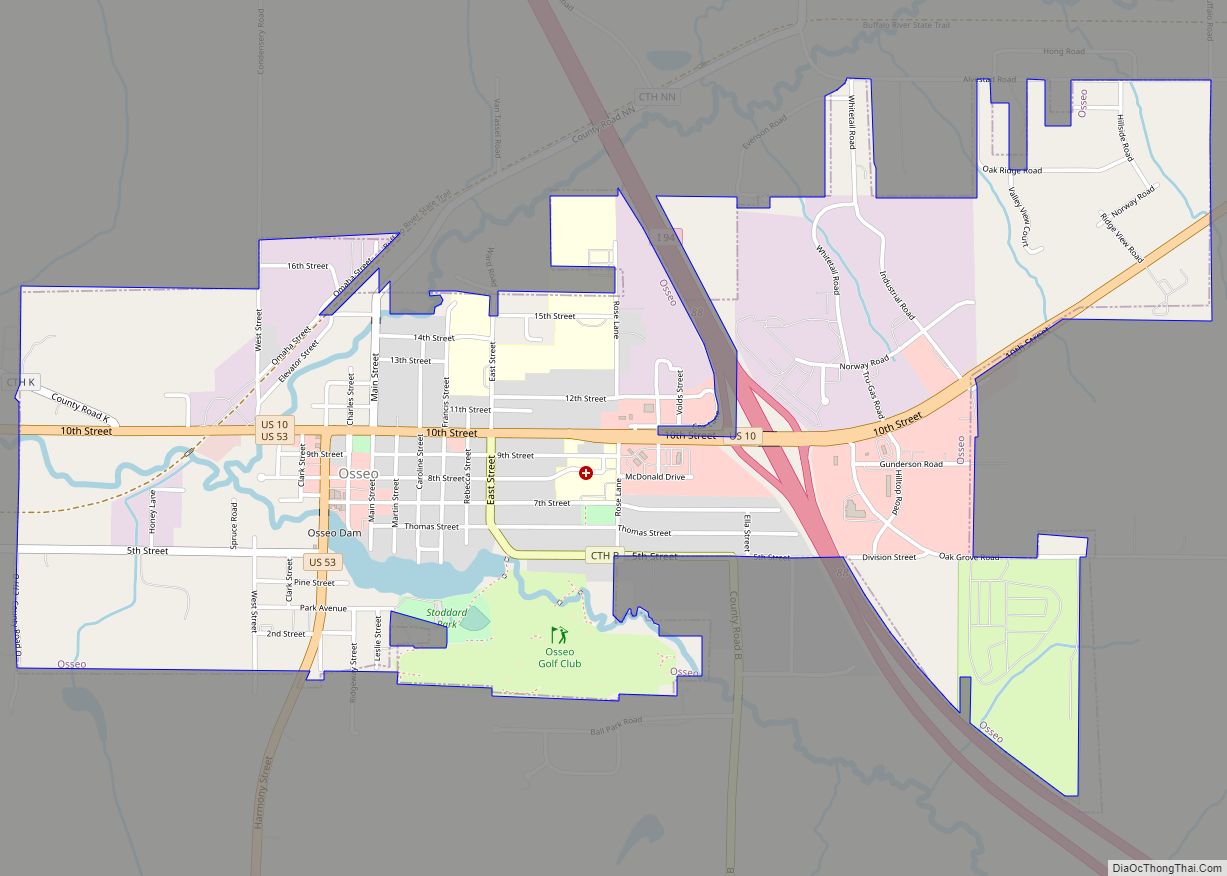
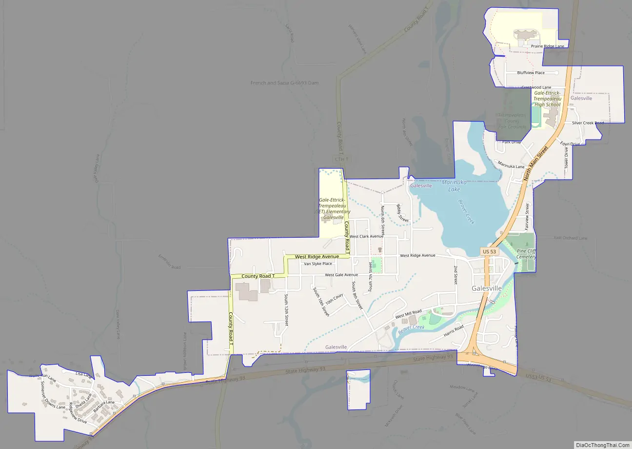
Galesville Road Map
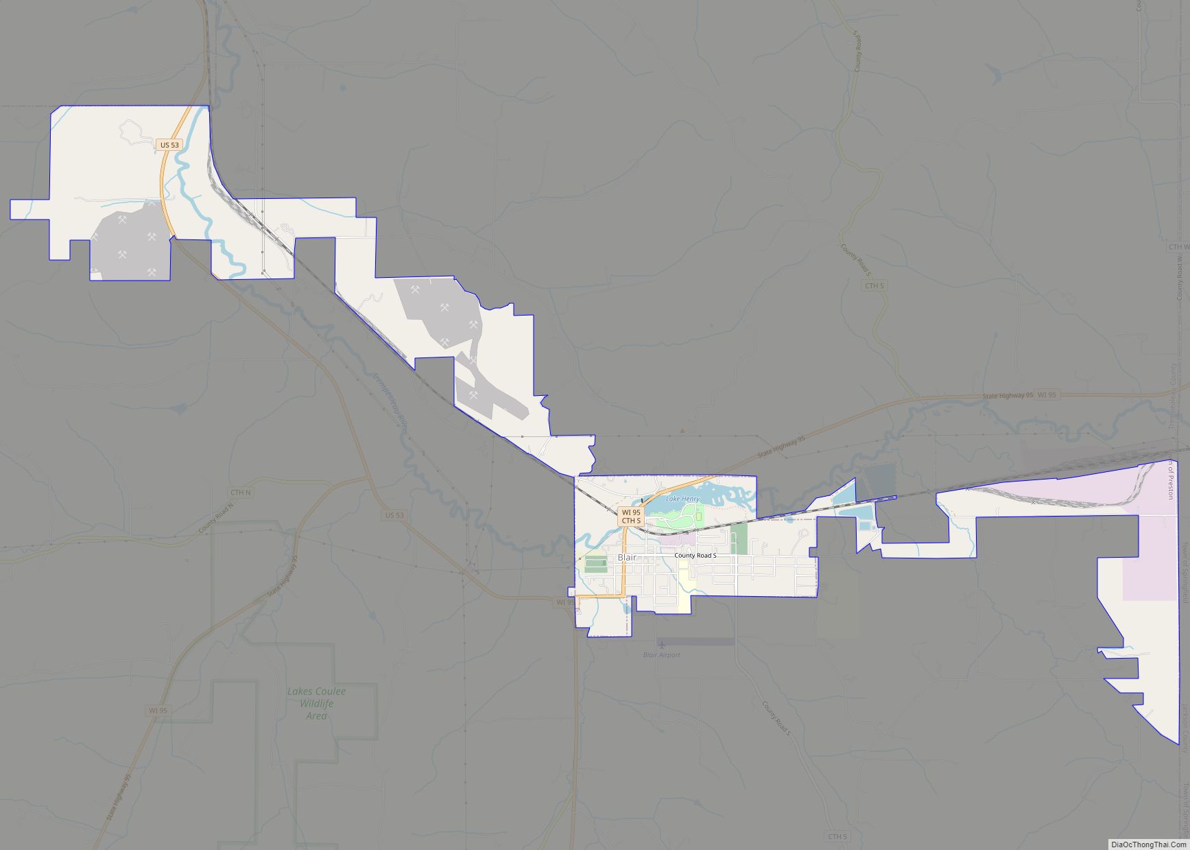
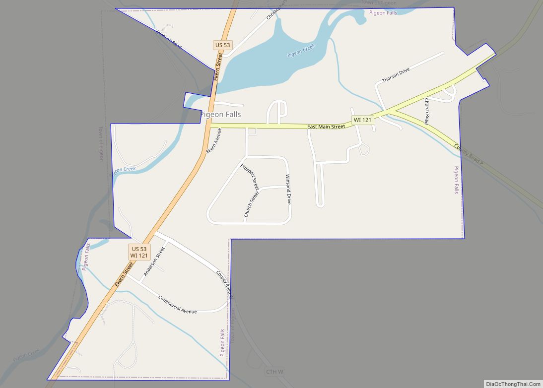
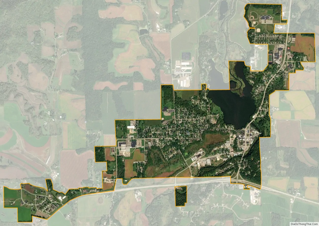
Galesville city Satellite Map
Geography
According to the United States Census Bureau, the city has a total area of 1.45 square miles (3.76 km), of which, 1.3 square miles (3.37 km) is land and 0.15 square miles (0.39 km) is water.
See also
Map of Wisconsin State and its subdivision:- Adams
- Ashland
- Barron
- Bayfield
- Brown
- Buffalo
- Burnett
- Calumet
- Chippewa
- Clark
- Columbia
- Crawford
- Dane
- Dodge
- Door
- Douglas
- Dunn
- Eau Claire
- Florence
- Fond du Lac
- Forest
- Grant
- Green
- Green Lake
- Iowa
- Iron
- Jackson
- Jefferson
- Juneau
- Kenosha
- Kewaunee
- La Crosse
- Lafayette
- Lake Michigan
- Lake Superior
- Langlade
- Lincoln
- Manitowoc
- Marathon
- Marinette
- Marquette
- Menominee
- Milwaukee
- Monroe
- Oconto
- Oneida
- Outagamie
- Ozaukee
- Pepin
- Pierce
- Polk
- Portage
- Price
- Racine
- Richland
- Rock
- Rusk
- Saint Croix
- Sauk
- Sawyer
- Shawano
- Sheboygan
- Taylor
- Trempealeau
- Vernon
- Vilas
- Walworth
- Washburn
- Washington
- Waukesha
- Waupaca
- Waushara
- Winnebago
- Wood
- Alabama
- Alaska
- Arizona
- Arkansas
- California
- Colorado
- Connecticut
- Delaware
- District of Columbia
- Florida
- Georgia
- Hawaii
- Idaho
- Illinois
- Indiana
- Iowa
- Kansas
- Kentucky
- Louisiana
- Maine
- Maryland
- Massachusetts
- Michigan
- Minnesota
- Mississippi
- Missouri
- Montana
- Nebraska
- Nevada
- New Hampshire
- New Jersey
- New Mexico
- New York
- North Carolina
- North Dakota
- Ohio
- Oklahoma
- Oregon
- Pennsylvania
- Rhode Island
- South Carolina
- South Dakota
- Tennessee
- Texas
- Utah
- Vermont
- Virginia
- Washington
- West Virginia
- Wisconsin
- Wyoming