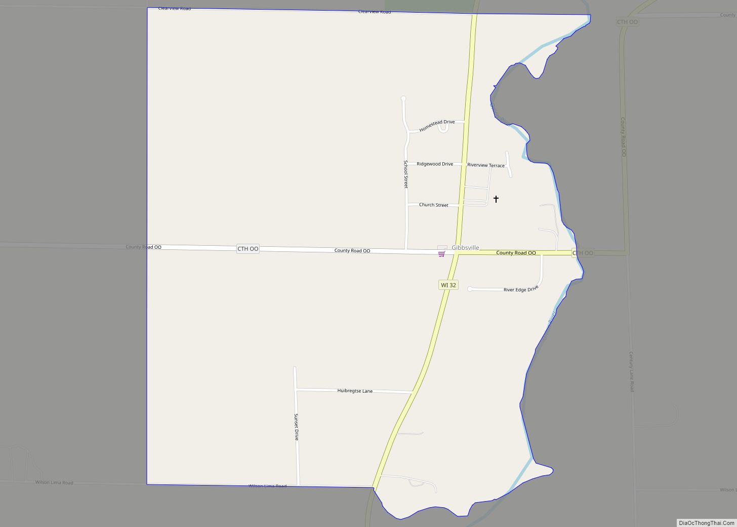
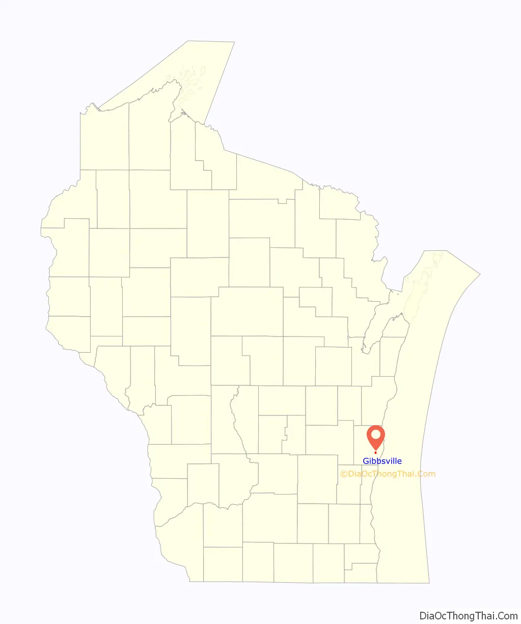
Gibbsville is a census-designated place in the town of Lima, Sheboygan County, Wisconsin, United States. Gibbsville is located on Wisconsin Highway 32 2.5 miles (4.0 km) northwest of Oostburg. Its population was 512 as of the 2010 census.
| Name: | Gibbsville CDP |
|---|---|
| LSAD Code: | 57 |
| LSAD Description: | CDP (suffix) |
| State: | Wisconsin |
| County: | Sheboygan County |
| Elevation: | 728 ft (222 m) |
| Total Area: | 0.857 sq mi (2.22 km²) |
| Land Area: | 0.853 sq mi (2.21 km²) |
| Water Area: | 0.004 sq mi (0.01 km²) |
| Total Population: | 512 |
| Population Density: | 600/sq mi (230/km²) |
| Area code: | 920 |
| FIPS code: | 5528925 |
| GNISfeature ID: | 1565504 |
Online Interactive Map
Click on ![]() to view map in "full screen" mode.
to view map in "full screen" mode.
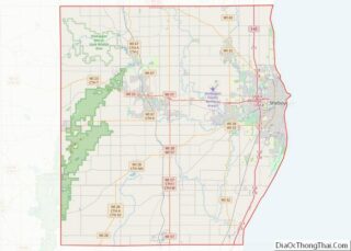
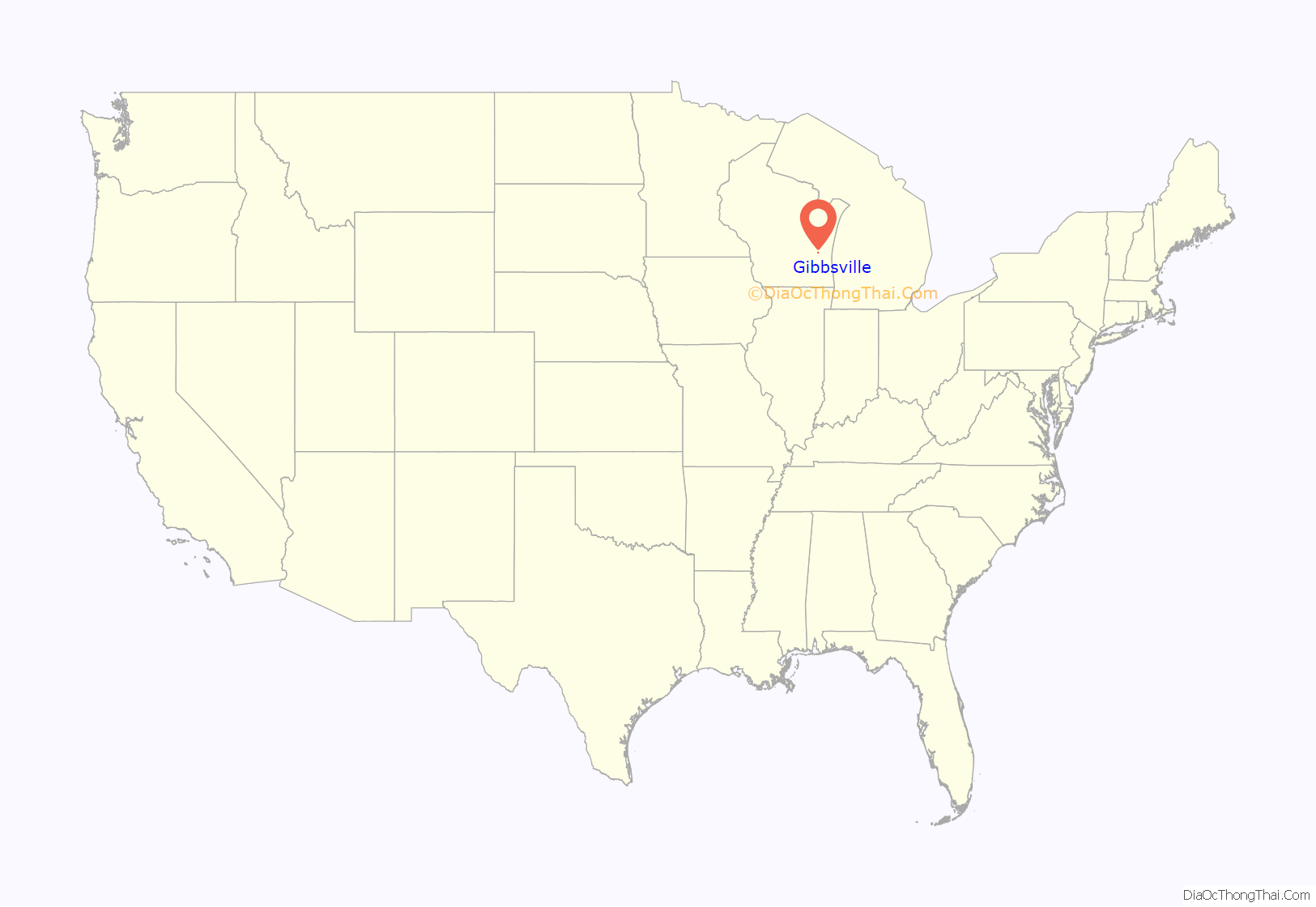
Gibbsville location map. Where is Gibbsville CDP?
History
James, John and Benjamin Gibbs settled Gibbsville in 1836. A post office was in operation from 1846 to 1907, and a school was in operation from 1900 to 1977.
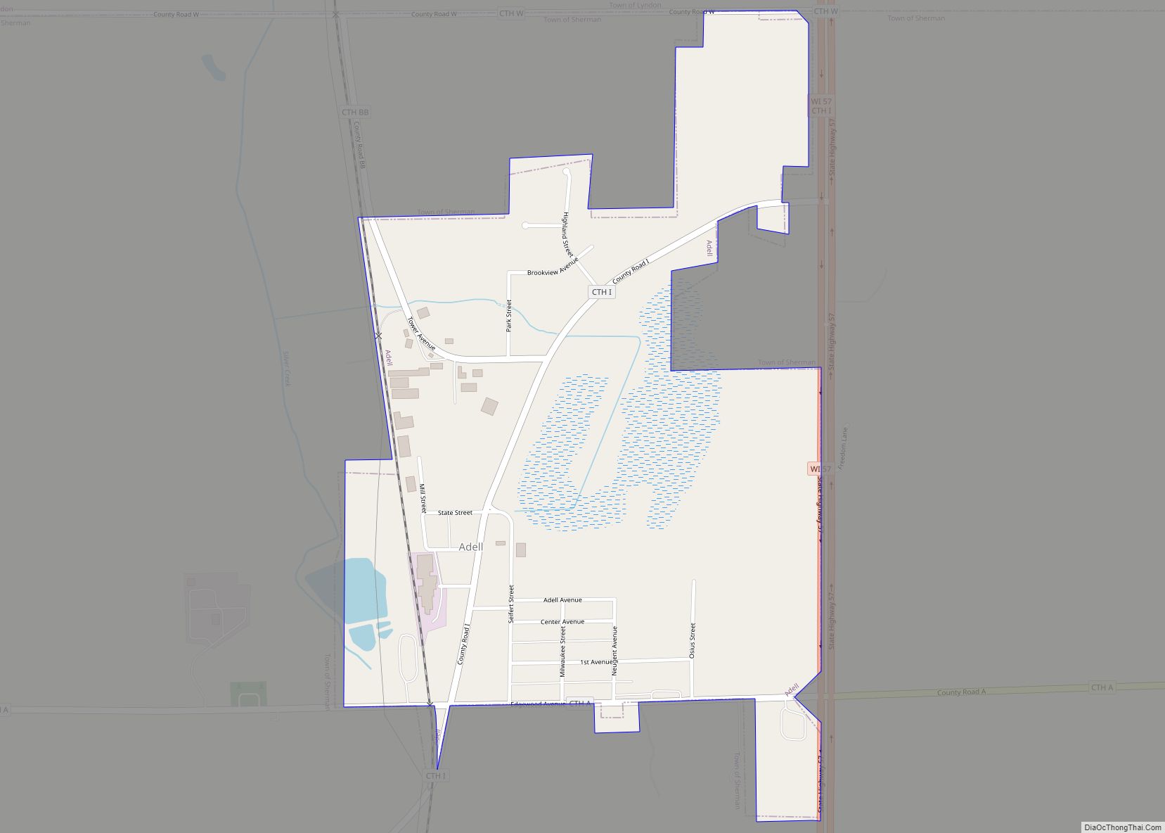
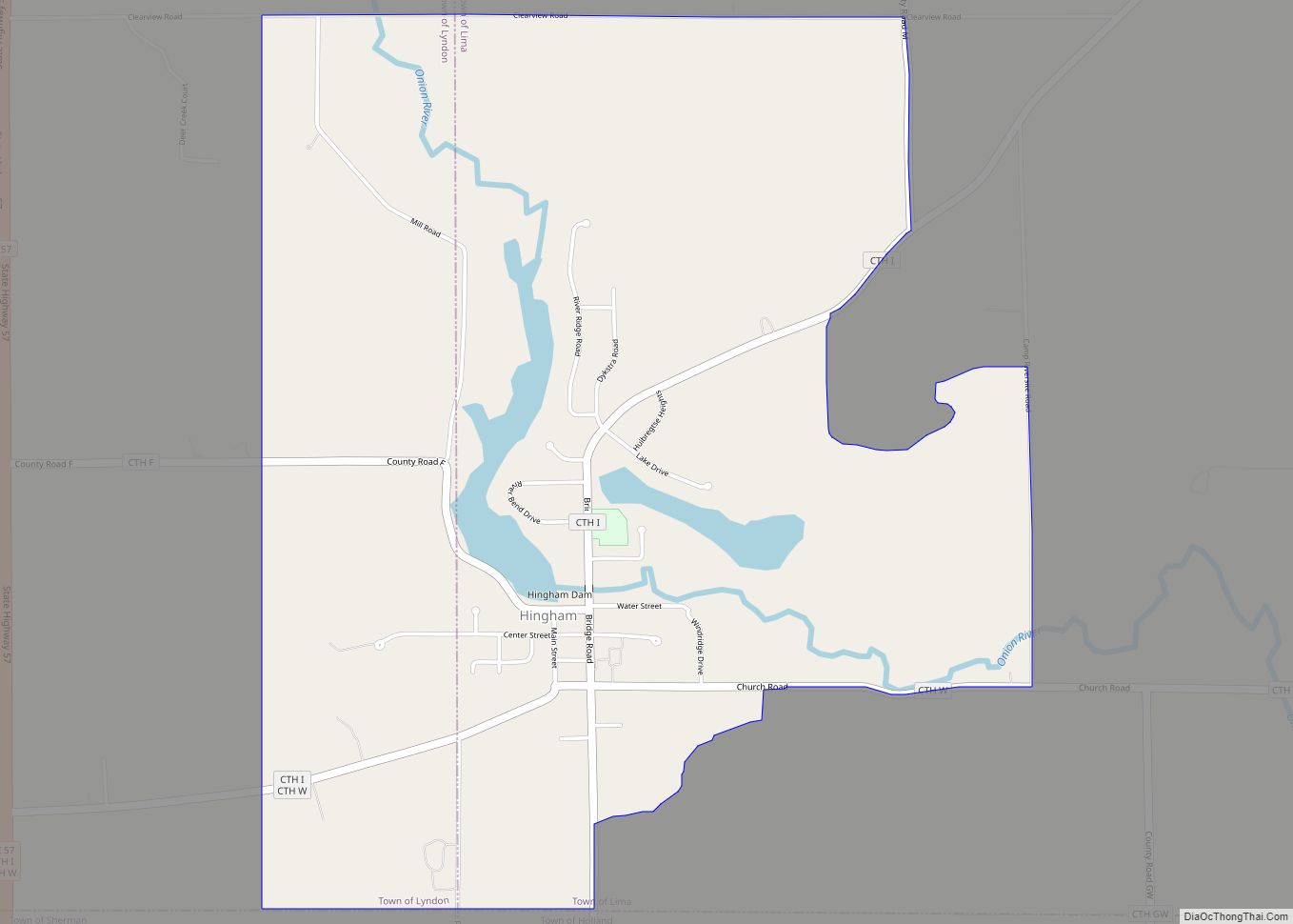
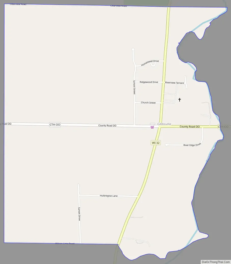
Gibbsville Road Map
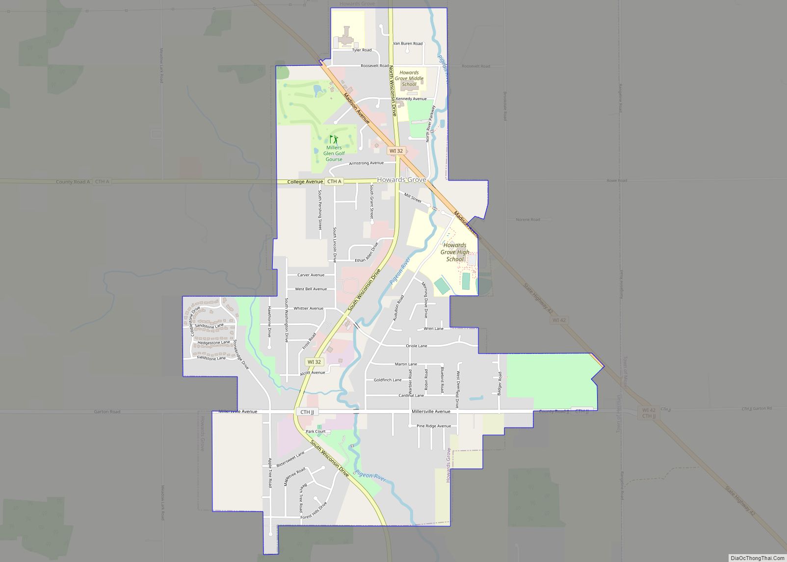
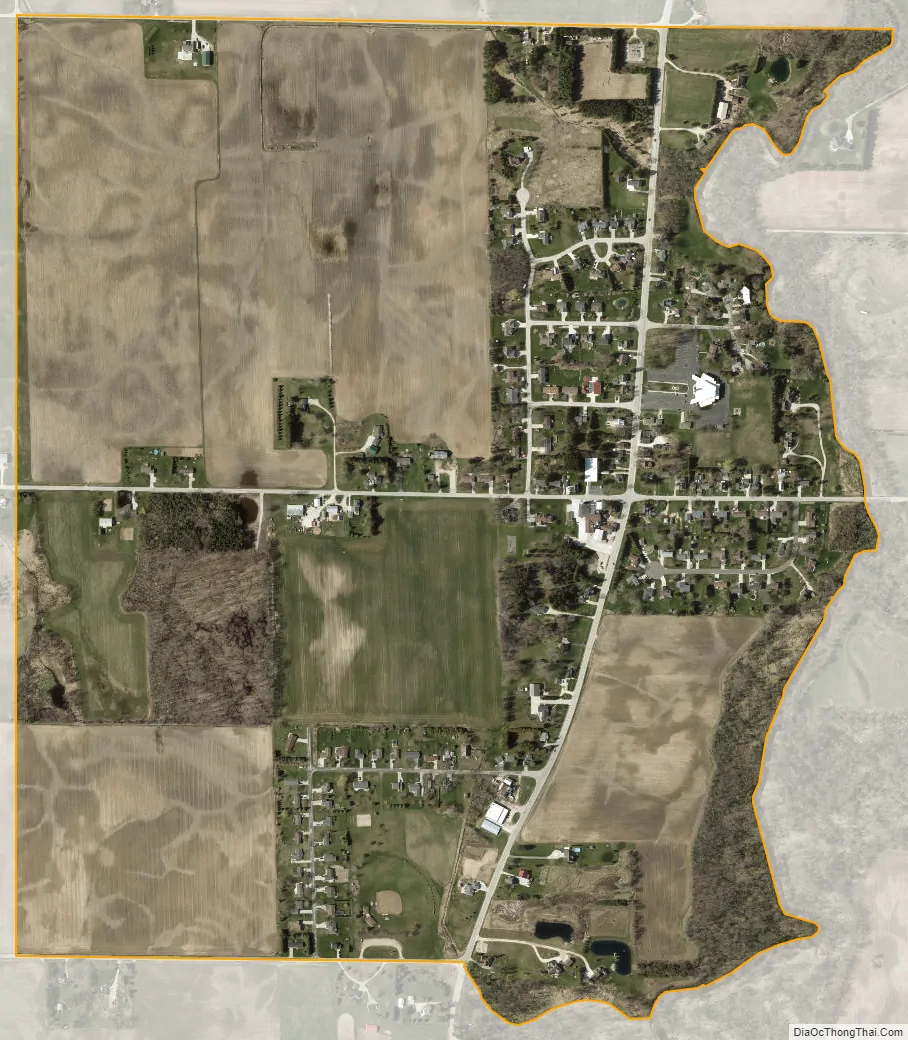
Gibbsville city Satellite Map
See also
Map of Wisconsin State and its subdivision:- Adams
- Ashland
- Barron
- Bayfield
- Brown
- Buffalo
- Burnett
- Calumet
- Chippewa
- Clark
- Columbia
- Crawford
- Dane
- Dodge
- Door
- Douglas
- Dunn
- Eau Claire
- Florence
- Fond du Lac
- Forest
- Grant
- Green
- Green Lake
- Iowa
- Iron
- Jackson
- Jefferson
- Juneau
- Kenosha
- Kewaunee
- La Crosse
- Lafayette
- Lake Michigan
- Lake Superior
- Langlade
- Lincoln
- Manitowoc
- Marathon
- Marinette
- Marquette
- Menominee
- Milwaukee
- Monroe
- Oconto
- Oneida
- Outagamie
- Ozaukee
- Pepin
- Pierce
- Polk
- Portage
- Price
- Racine
- Richland
- Rock
- Rusk
- Saint Croix
- Sauk
- Sawyer
- Shawano
- Sheboygan
- Taylor
- Trempealeau
- Vernon
- Vilas
- Walworth
- Washburn
- Washington
- Waukesha
- Waupaca
- Waushara
- Winnebago
- Wood
- Alabama
- Alaska
- Arizona
- Arkansas
- California
- Colorado
- Connecticut
- Delaware
- District of Columbia
- Florida
- Georgia
- Hawaii
- Idaho
- Illinois
- Indiana
- Iowa
- Kansas
- Kentucky
- Louisiana
- Maine
- Maryland
- Massachusetts
- Michigan
- Minnesota
- Mississippi
- Missouri
- Montana
- Nebraska
- Nevada
- New Hampshire
- New Jersey
- New Mexico
- New York
- North Carolina
- North Dakota
- Ohio
- Oklahoma
- Oregon
- Pennsylvania
- Rhode Island
- South Carolina
- South Dakota
- Tennessee
- Texas
- Utah
- Vermont
- Virginia
- Washington
- West Virginia
- Wisconsin
- Wyoming