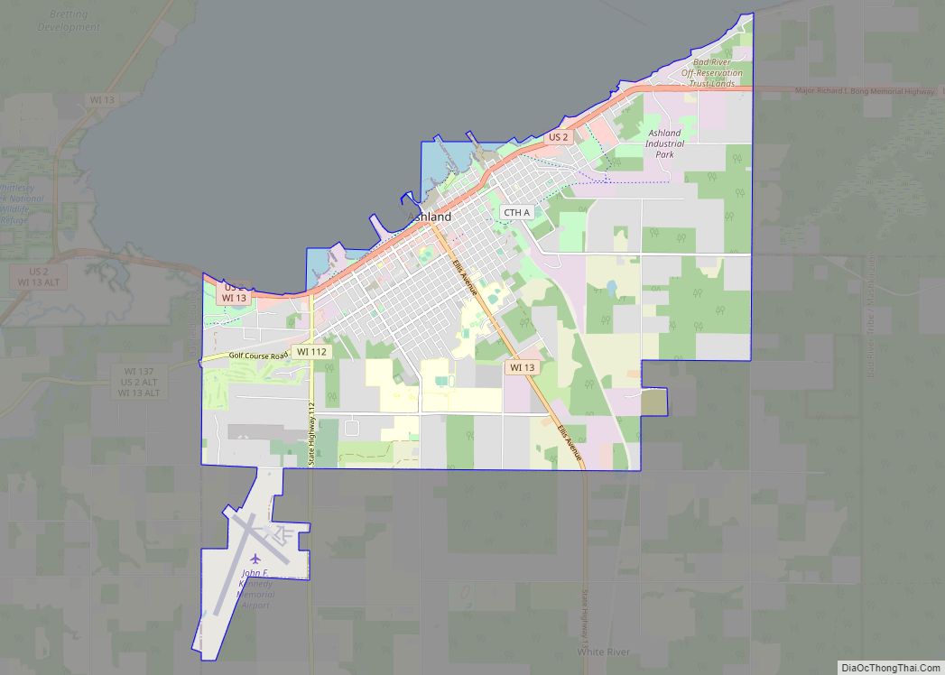
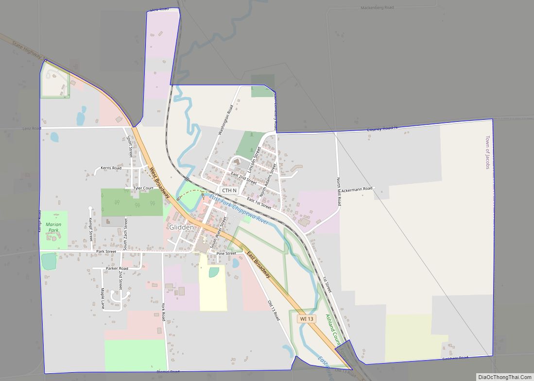
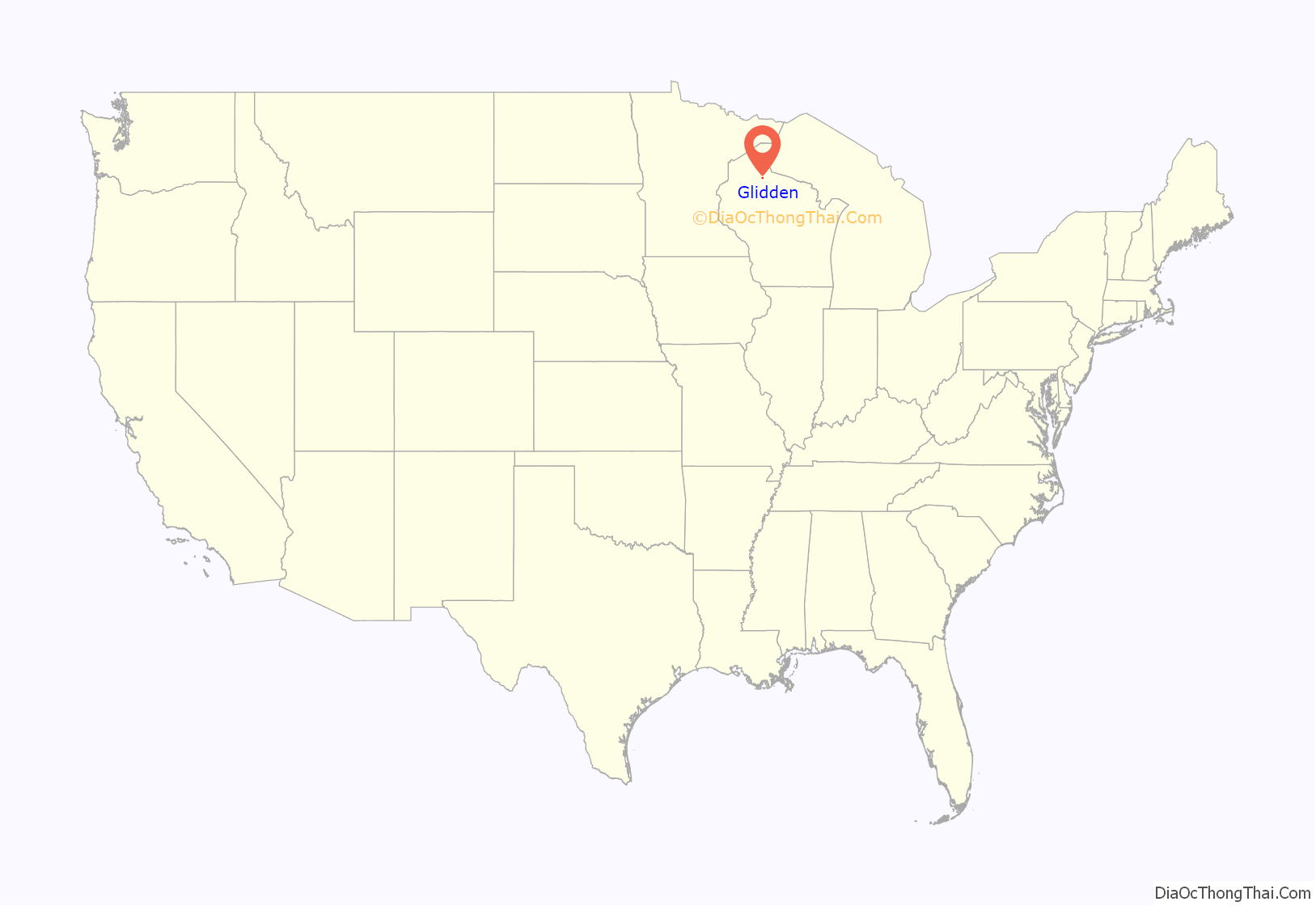
Glidden (also Chippewa Crossing) is an unincorporated census-designated place in the town of Jacobs in Ashland County, Wisconsin, United States. It is located on County Highway N near Wisconsin Highway 13. As of the 2010 census, its population was 507.
| Name: | Glidden CDP |
|---|---|
| LSAD Code: | 57 |
| LSAD Description: | CDP (suffix) |
| State: | Wisconsin |
| County: | Ashland County |
| Total Area: | 2.151 sq mi (5.57 km²) |
| Land Area: | 2.151 sq mi (5.57 km²) |
| Water Area: | 0 sq mi (0 km²) |
| Total Population: | 507 |
| Population Density: | 240/sq mi (91/km²) |
| ZIP code: | 54527 |
| Area code: | 715 & 534 |
| FIPS code: | 5529675 |
| GNISfeature ID: | 1579335 |
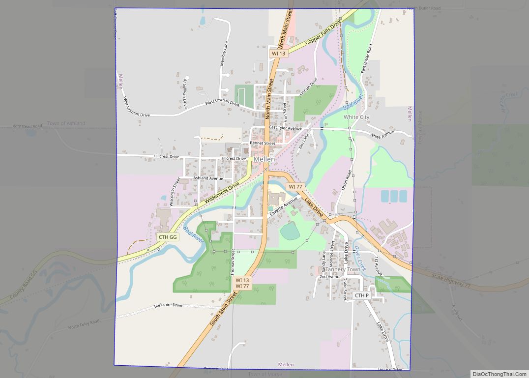
Online Interactive Map
Click on ![]() to view map in "full screen" mode.
to view map in "full screen" mode.
Glidden location map. Where is Glidden CDP?
History
The community is named after Charles R. Glidden, a founder of the Wisconsin Central Railroad, along which it is located. Marion Park Pavilion was built in 1938 during the depression and is listed in the National Register of Historic Places. In 1963, a 10 ft 7 in (3.23 m), 665-pound (302 kg) Black Bear was hunted in the Glidden area. The town immediately took on the title of “Black Bear Capital of the World”, and many local businesses made “Black Bear” a part of their name. Glidden Public School also changed its mascot from the Viking to the Black Bear.
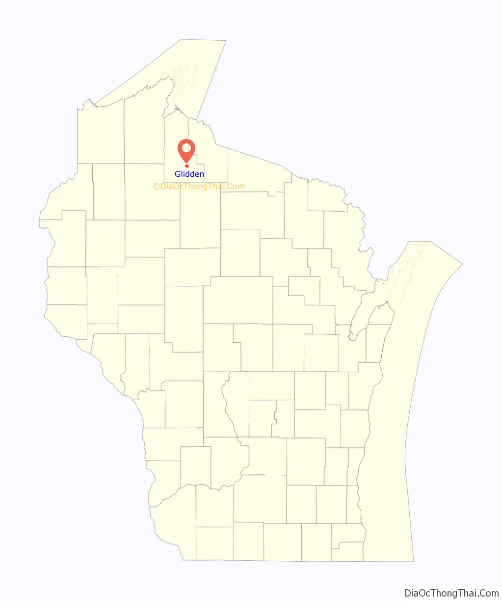
Glidden Road Map
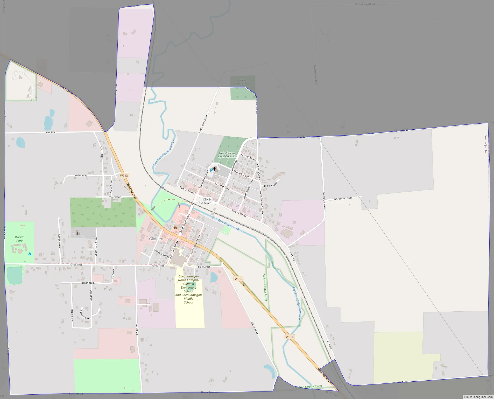
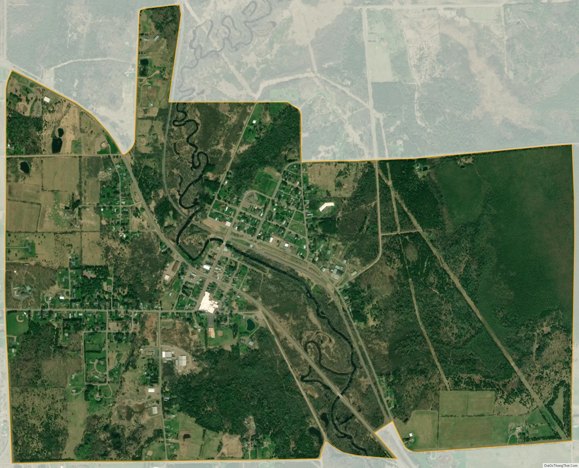
Glidden city Satellite Map
Geography
Glidden is located at 46°8′6″N 90°34′43″W / 46.13500°N 90.57861°W / 46.13500; -90.57861 (46.1349525, -90.5785090). According to the U.S. Census Bureau, it has an area of 2.151 square miles (5.57 km), all of it land.
See also
Map of Wisconsin State and its subdivision:- Adams
- Ashland
- Barron
- Bayfield
- Brown
- Buffalo
- Burnett
- Calumet
- Chippewa
- Clark
- Columbia
- Crawford
- Dane
- Dodge
- Door
- Douglas
- Dunn
- Eau Claire
- Florence
- Fond du Lac
- Forest
- Grant
- Green
- Green Lake
- Iowa
- Iron
- Jackson
- Jefferson
- Juneau
- Kenosha
- Kewaunee
- La Crosse
- Lafayette
- Lake Michigan
- Lake Superior
- Langlade
- Lincoln
- Manitowoc
- Marathon
- Marinette
- Marquette
- Menominee
- Milwaukee
- Monroe
- Oconto
- Oneida
- Outagamie
- Ozaukee
- Pepin
- Pierce
- Polk
- Portage
- Price
- Racine
- Richland
- Rock
- Rusk
- Saint Croix
- Sauk
- Sawyer
- Shawano
- Sheboygan
- Taylor
- Trempealeau
- Vernon
- Vilas
- Walworth
- Washburn
- Washington
- Waukesha
- Waupaca
- Waushara
- Winnebago
- Wood
- Alabama
- Alaska
- Arizona
- Arkansas
- California
- Colorado
- Connecticut
- Delaware
- District of Columbia
- Florida
- Georgia
- Hawaii
- Idaho
- Illinois
- Indiana
- Iowa
- Kansas
- Kentucky
- Louisiana
- Maine
- Maryland
- Massachusetts
- Michigan
- Minnesota
- Mississippi
- Missouri
- Montana
- Nebraska
- Nevada
- New Hampshire
- New Jersey
- New Mexico
- New York
- North Carolina
- North Dakota
- Ohio
- Oklahoma
- Oregon
- Pennsylvania
- Rhode Island
- South Carolina
- South Dakota
- Tennessee
- Texas
- Utah
- Vermont
- Virginia
- Washington
- West Virginia
- Wisconsin
- Wyoming